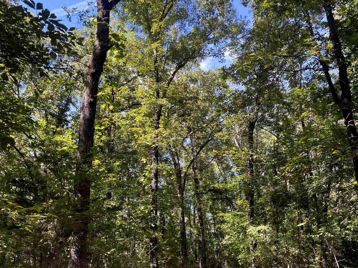
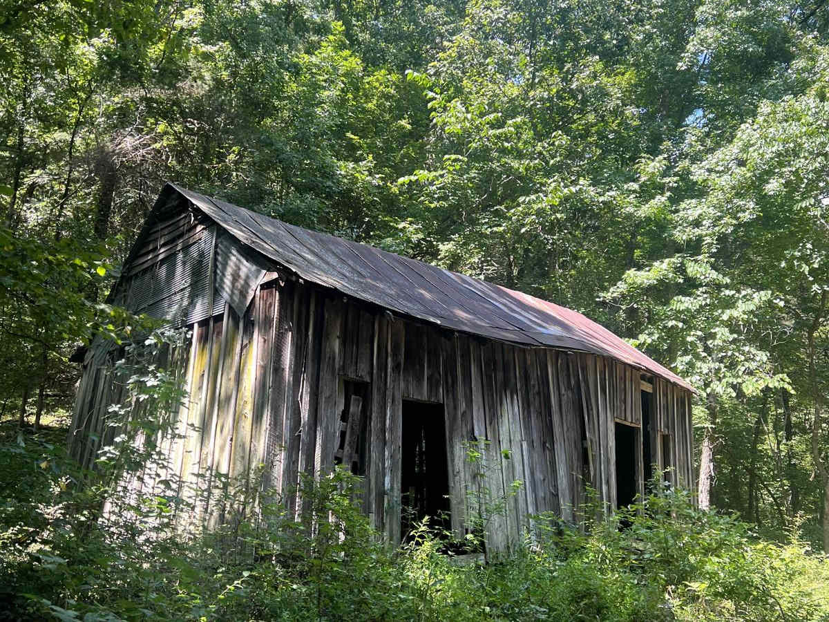
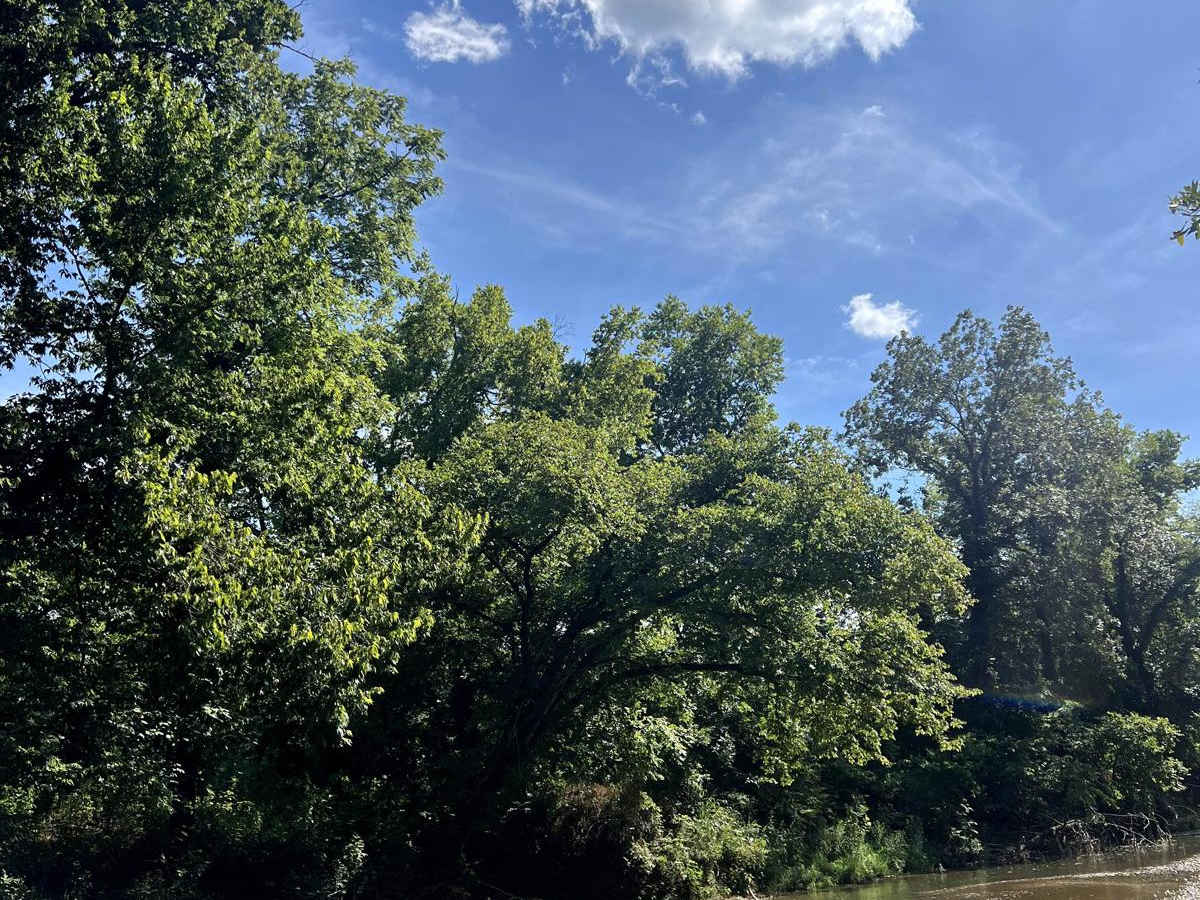
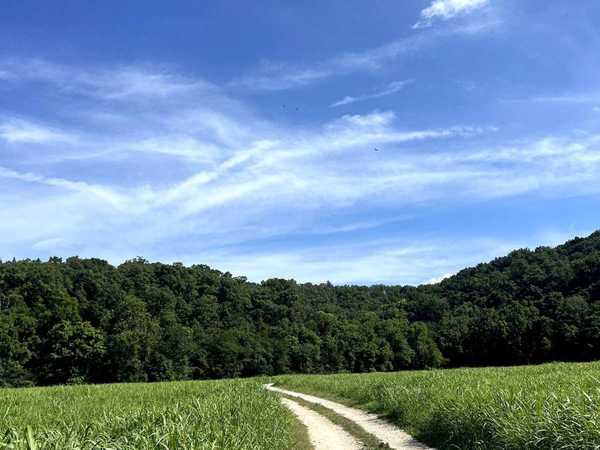
Tylers Bend View

Total Miles 9.7
Technical Rating
3 Easy
Best Time Spring, Summer, Fall, Winter
Trail Type Full-Width Road
Accessible By
Open Trail Map

Trail Overview

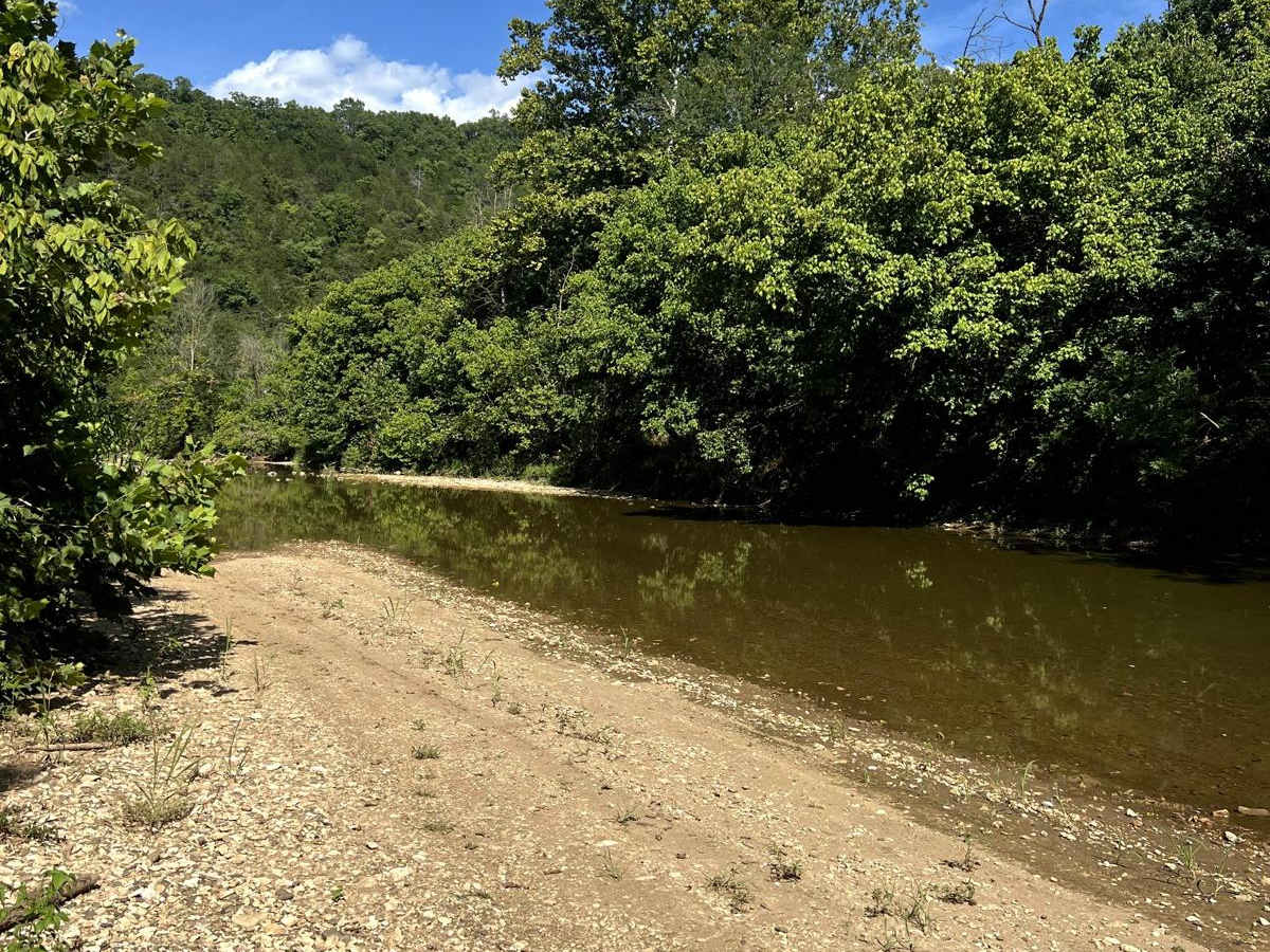
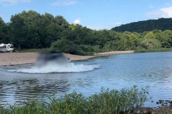
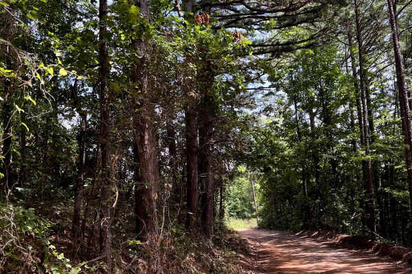
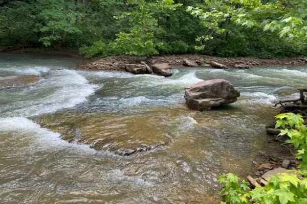
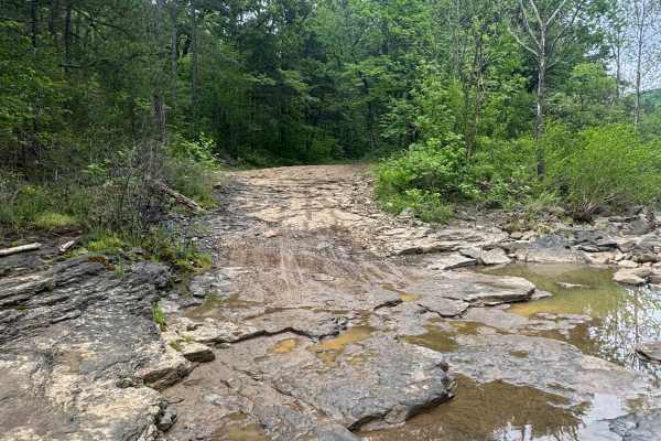
This is a beautiful scenic drive from Snowball, Arkansas to Tylers Bend Campground at the Buffalo National River. The trail follows along the roads Searcy County 13, Gateway Road, and Peter Cave Road. The beautiful views of the Buffalo River and Ozarks surround you once you turn onto Peter Cave Road. Following Peter Cave Road there are several amazing camping spots close to the Buffalo River. There is one main water crossing that can get deep and it is right before you enter into Tylers Bend area. Calf Creek can get 4-5 feet deep depending on the rain the area has seen. It is also rocky creek bottom gravel. Beautiful history when driving through the area.

Photos of Tylers Bend View

Difficulty

The roads are fairly normal dirt roads. Depending on your experience this will be an easy drive to everyone. The one main obstacle to this trail is the water crossing at the very end (Calf Creek) Please be aware of current water levels and always, leave no trace!

History

The history behind the Buffalo National River is absolutely beautiful. Being the first National River in the United States makes this river something extremely special for Arkansas and the U.S. Almost being damed multiple times, this river would not be what it is today without the wonderful people that fight for it.

Technical Rating

3

Status Reports

Add Status Report
Nick Fuller
May 25, 2025
Open
Trail was pretty clear beyond a few mud holes. But with all of the rain over the weekend, and the incoming thunderstorm, the creek was too high for o even attempt to cross.
Brian Maclaskey
May 16, 2025
Open
Calf Creek was approx 36” deep with softish banks on both sides. Had no problems getting thru in TJ with 4” lift and 33” in tires.
Don Newsom
Apr 11, 2025
Open
Micah Anglin
Mar 09, 2025
Open
We started in Snowball, going north. About 8.5 miles up to Calf Creek. The water is passable by our Polaris Ranger. The lifted JK Wrangler could have made but I wasn't risking it. The Grand Cherokee was a definite no-go.
Corey Jackson
Feb 08, 2025
Open
Came from snowball side (south). Good road all the way to calf creek. Crossing silted in and water was a deep pool. Not crossing in an adventure bike!! Went all the way back out!
B Somers
Dec 25, 2024
Open
started in north at 124 made to calf creek. water at calf creek high and impassable had to turn around.

Tylers Bend View Trail can be accessed by the following ride types:

  • High Clearance
  • Full Width

Tylers Bend View Map

The onX Offroad Difference

onX Offroad combines trail photos, descriptions, difficulty ratings, width restrictions, seasonality, and more in a user-friendly interface. Available on all devices, with offline access and full compatibility with CarPlay and Android Auto. Discover what you're missing today!

Open Trail Map