Trail Overview
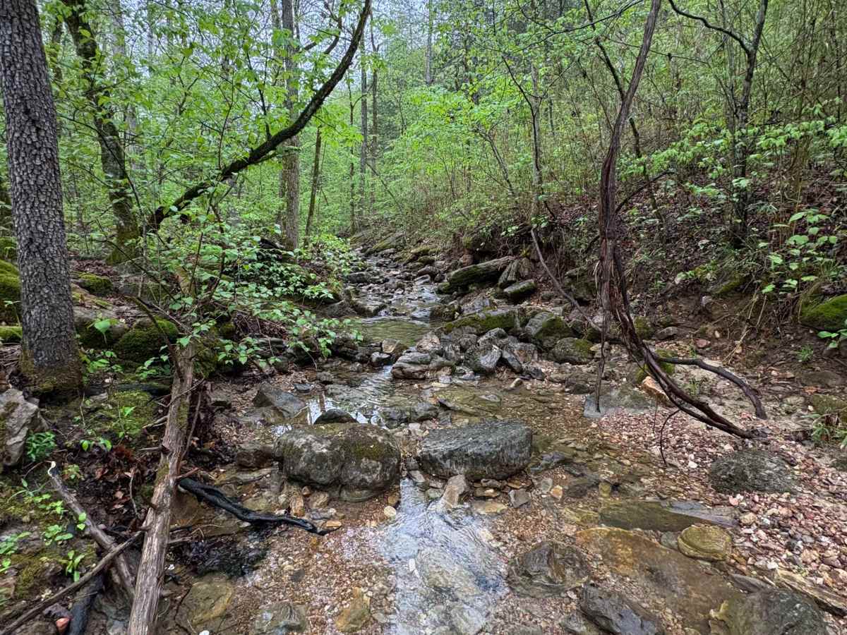
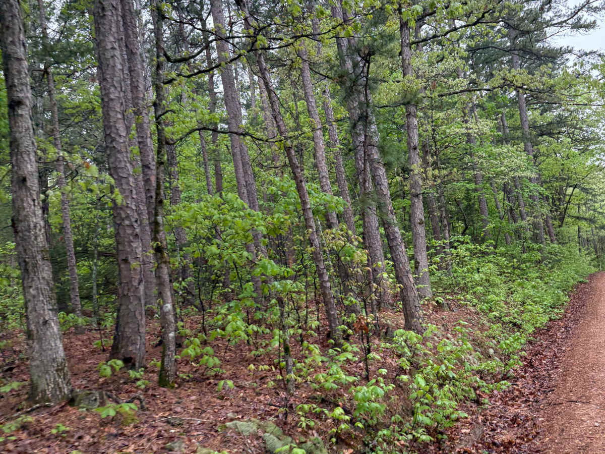
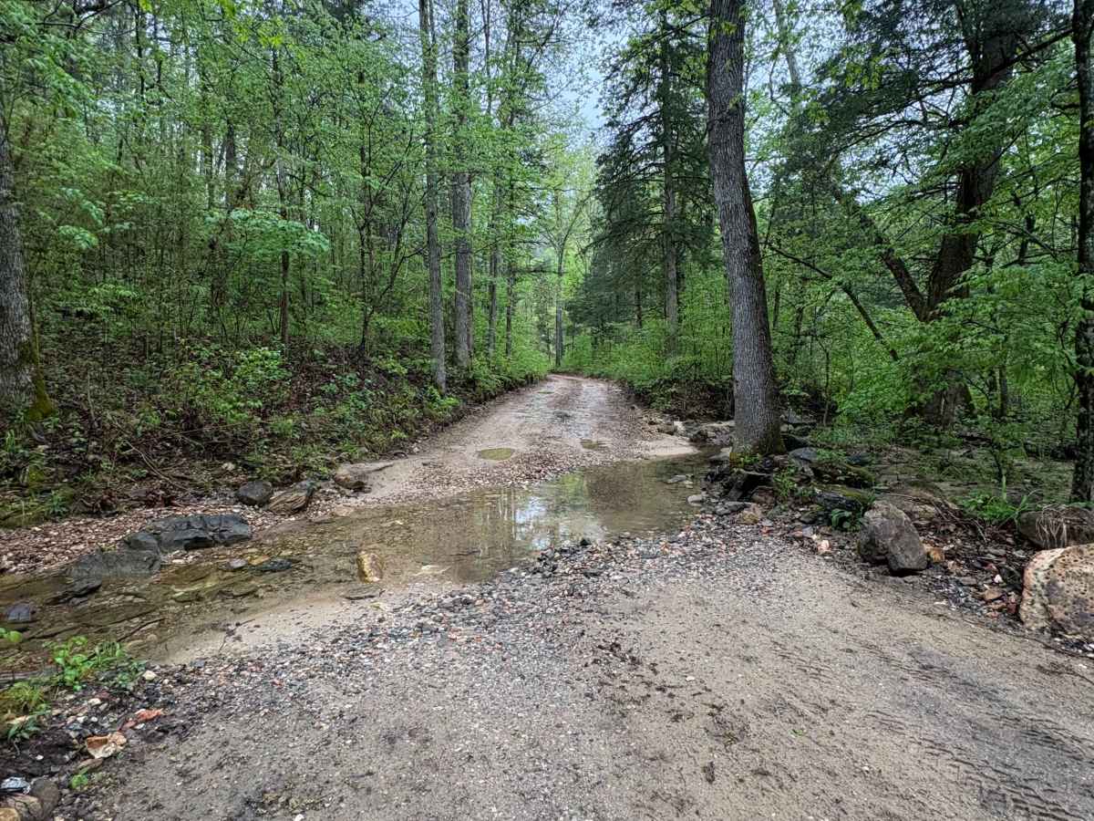
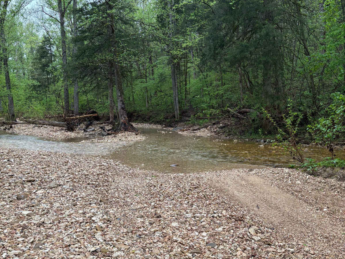
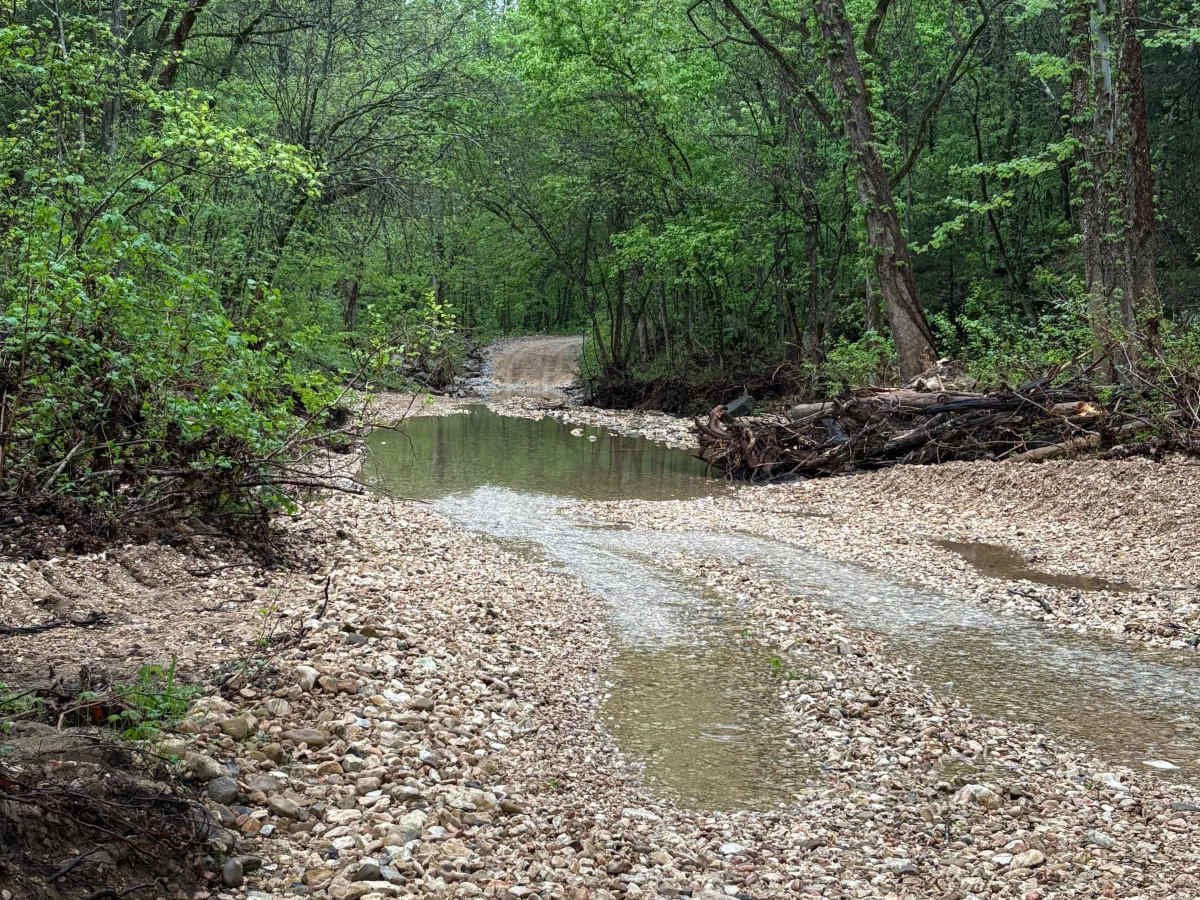
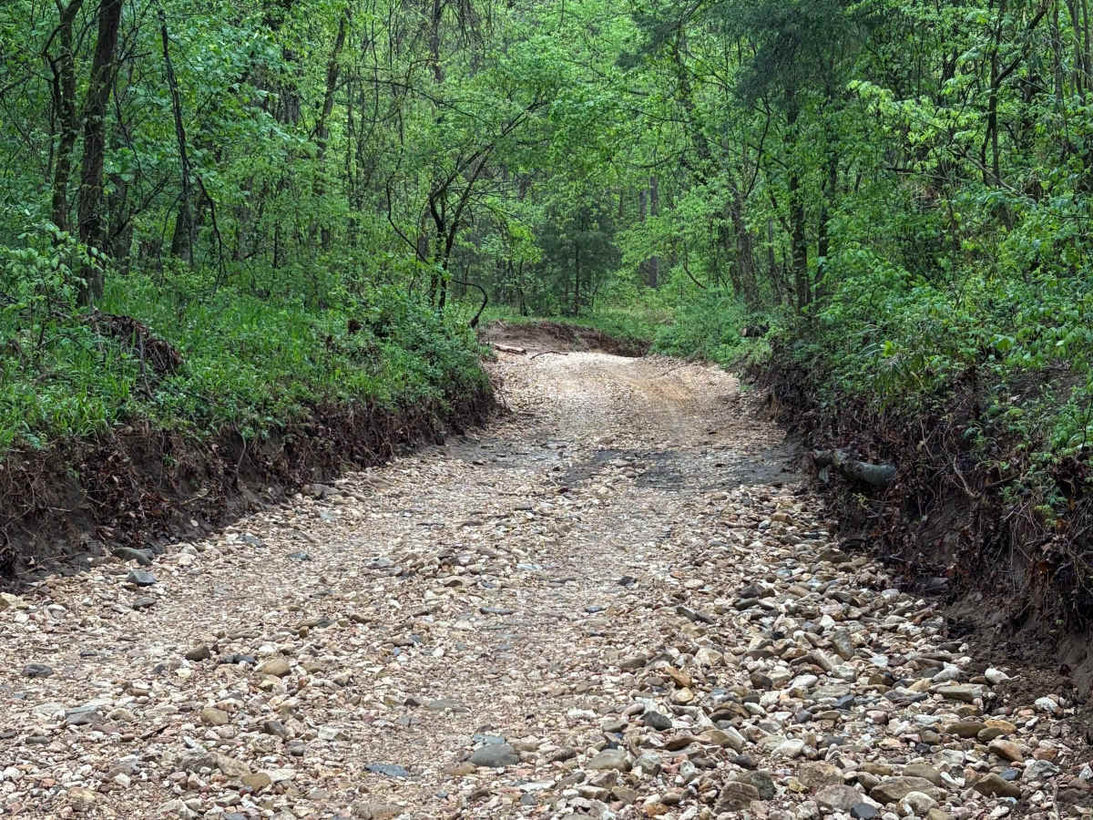
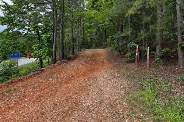
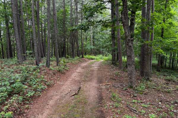
This trail is located on the eastern side of the Ozark National Forrest. This trail shares the side of the Ozark National Forrest and one side with the Leatherwood Wilderness Management area. Use caution, as well as always double-check MVUM to be sure you are on the correct trail, as Leatherwood Wilderness is a NON-MOTORIZED area. As long as you stay on the Spring Creek Falls trail, you will be fine. This trail can be run both ways (West to East) or (East to West). We ran this trail starting on the Big Flat, Arkansas side, and ended at the T for Highway 341. This trail contains loose gravel/creek rock that can become very flooded during heavy rains. Being that it floods, some bigger rocks can be moved into the roadway, so pass through with caution for large rocks in the water crossings. This trail also has some of the most scenic lookouts in Arkansas. Use caution on this trail as it can be tight in some areas where other vehicles could be coming from the opposite direction. Some areas of this trail can be steep with some switchbacks. If you would like to watch a full video on this trail, check out DirtRoadDiscoveries on YouTube.
Difficulty
For most 4X4 vehicles, this trail can be a walk in the park. During heavy rain seasons, you will see that the water crossings can become 2-3 feet deep (possibly more depending on rain levels). For the most part, this road is gravel/creek rock and is packed solid on most of the trail. There are some steep uphills/downhills.