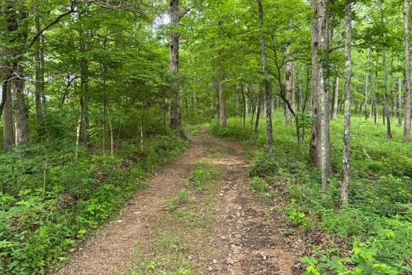
Trail Overview
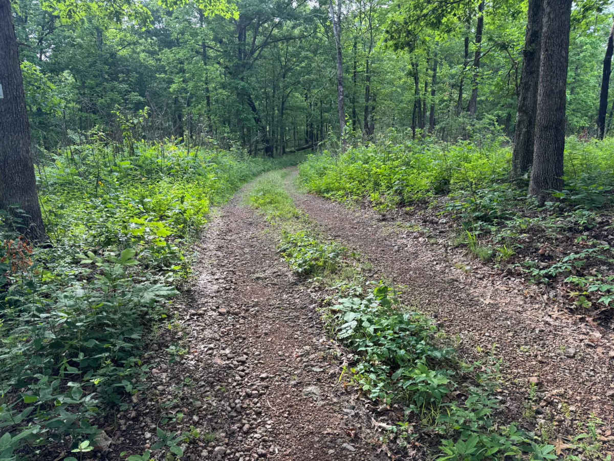
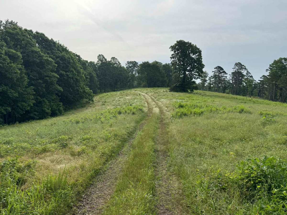
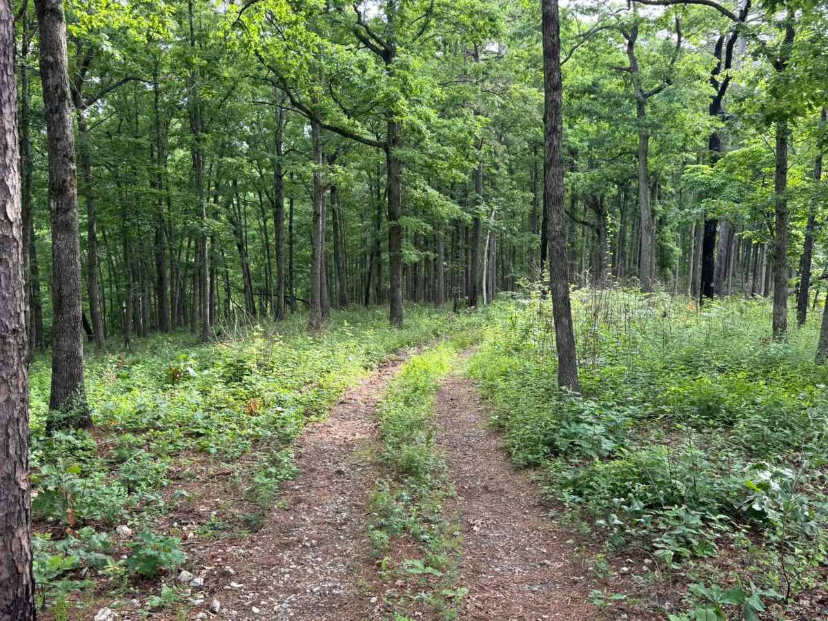
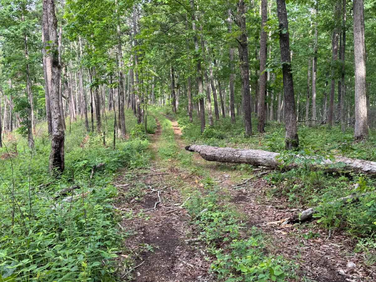
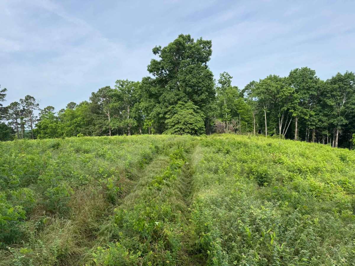
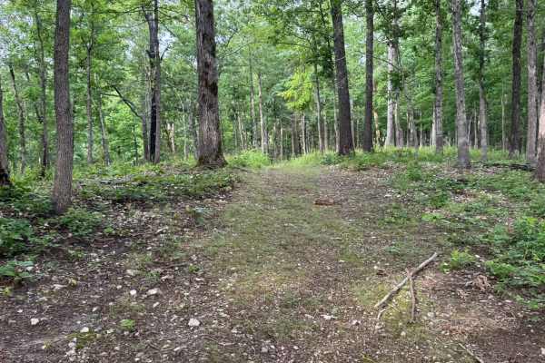
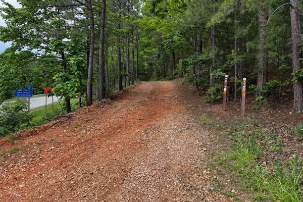
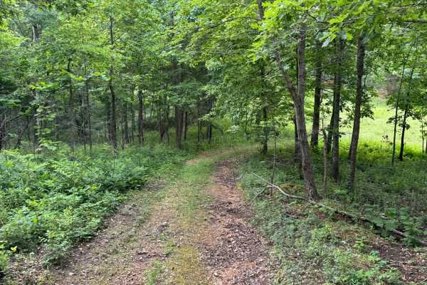
This trail is fairly simple overall and makes for an easy scenic drive through the forest. The route winds through a mix of dense woods and open grassy clearings, with stretches of narrow two-track cutting between tall trees and thick green undergrowth. In several areas, the trail becomes tighter with low-hanging branches reaching into the path, so light pinstriping and scratches are definitely possible depending on vehicle width and paint condition. The surface is mostly dirt and small loose gravel with a few gentle grades and rolling elevation changes, but nothing especially technical. Some sections open into wide meadow-like areas before narrowing back into the timber. Toward the end of the trail, the route is clearly marked with Forest Service signs indicating that travel should not continue beyond that point. There is a nice turnaround area at the end, making it easy to safely head back out without needing complicated maneuvering.
Difficulty
**Trail Difficulty Rating: 2/10 – Easy**
This is an easy forest trail with mild grades, loose gravel, and narrow wooded sections. Most stock high-clearance SUVs and 4WD vehicles can handle it without issue. Low hanging branches and tighter areas may cause light pinstriping or scratches, especially on full-size vehicles. The trail ends at clearly marked Forest Service signage with a good turnaround area.
History
The roads throughout this region were originally established for logging, mining, homestead access, and fire management long before recreational off-roading became popular. Portions of the surrounding Buffalo National River area contain deep ties to Ozark pioneer history, including old settlements, abandoned homesites, family cemeteries, and former mining operations dating back to the late 1800s and early 1900s. The nearby Rush Historic District was once one of the largest zinc mining communities in Arkansas during the early 20th century. Many of the ridge roads and hollows drivers travel today follow paths historically used by miners, loggers, ranchers, and local residents navigating the rugged Ozark terrain long before modern highways existed.