Trail Overview
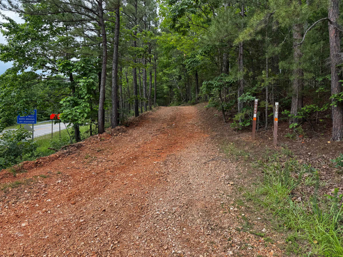
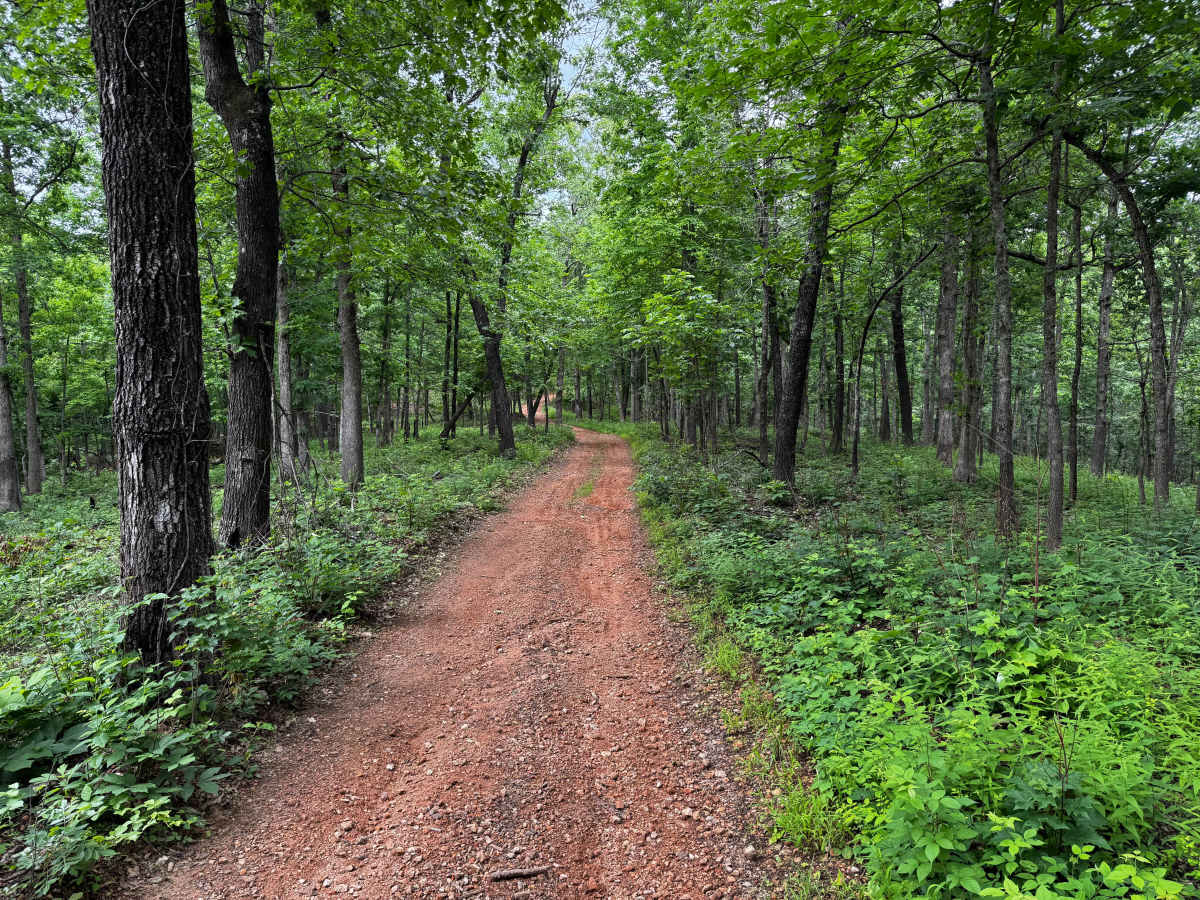
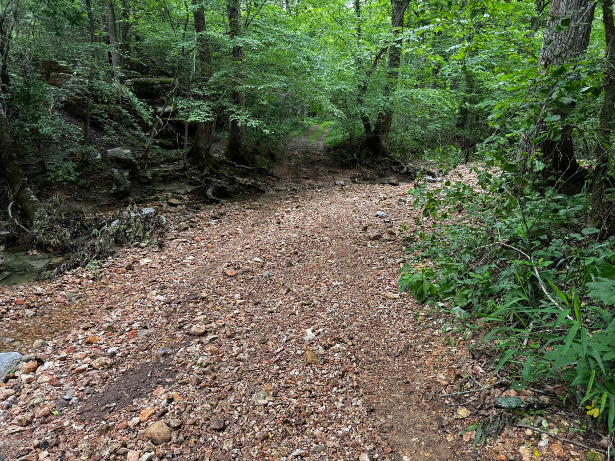
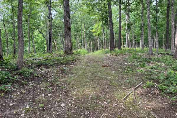
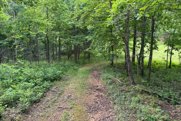
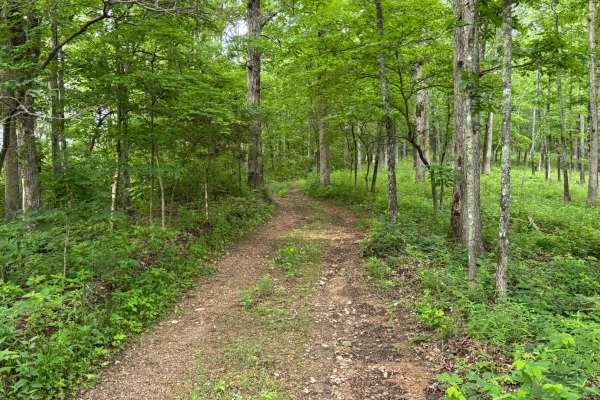
This route offers a more engaging drive than the surrounding maintained county roads, with several features that add a moderate level of technical challenge. The route begins as a fairly smooth gravel path winding through dense hardwood and pine forest, but quickly narrows with heavy vegetation pressing in from both sides. Expect brush contact and possible pinstriping, especially on wider vehicles. Along the route are a few steep grades and narrow sections where careful tire placement becomes important. You will come across one creek crossings along the way as well as some mud puddles in lower areas. While not extreme, the combination of erosion, uneven creek approaches, mud puddles, loose gravel, and tight wooded corridors makes this a fun trail for drivers wanting something more challenging than a standard forest road.
Difficulty
This route offers several steep grades, loose gravel surfaces, and a creek crossing. While not extremely difficult, the narrow trail width and heavy overgrowth on both sides make pinstriping and paint scratches very likely. Drivers looking for a bit more excitement than the surrounding well-maintained county roads will enjoy this route.
History
The roads throughout this region were originally established for logging, mining, homestead access, and fire management long before recreational off-roading became popular. Portions of the surrounding Buffalo National River area contain deep ties to Ozark pioneer history, including old settlements, abandoned homesites, family cemeteries, and former mining operations dating back to the late 1800s and early 1900s. The nearby Rush Historic District was once one of the largest zinc mining communities in Arkansas during the early 20th century. Many of the ridge roads and hollows drivers travel today follow paths historically used by miners, loggers, ranchers, and local residents navigating the rugged Ozark terrain long before modern highways existed.