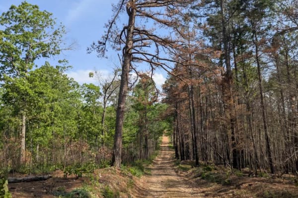
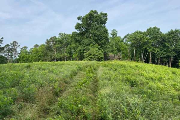
Trail Overview
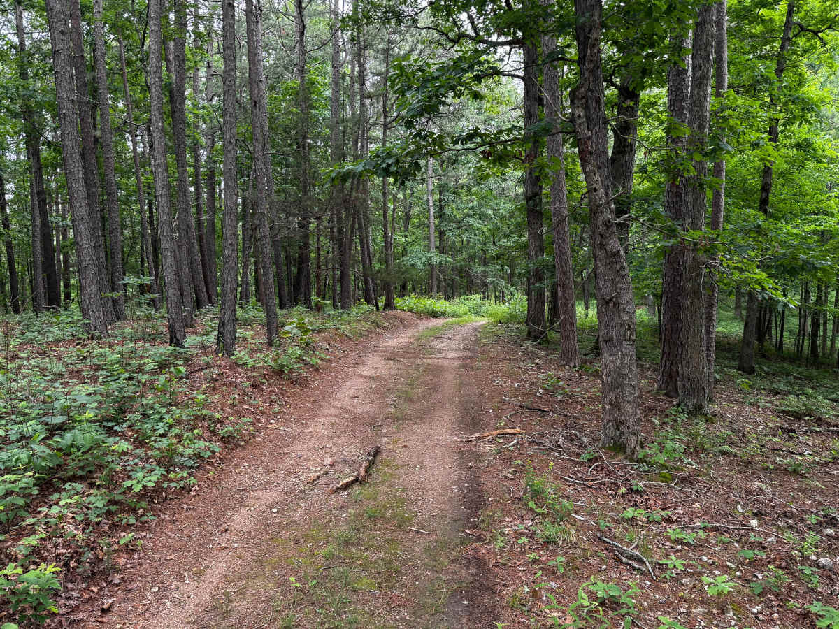
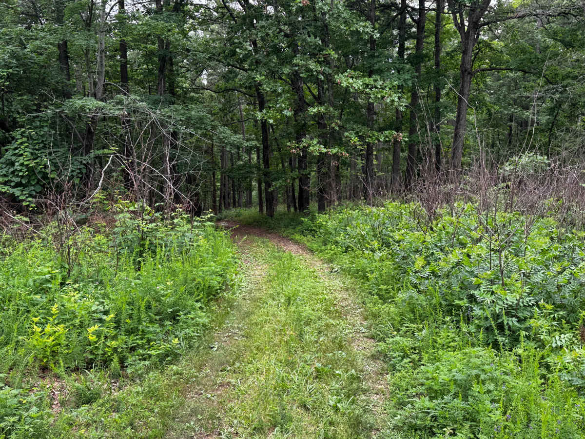
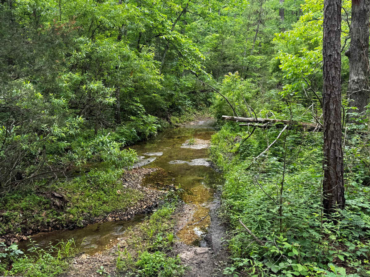
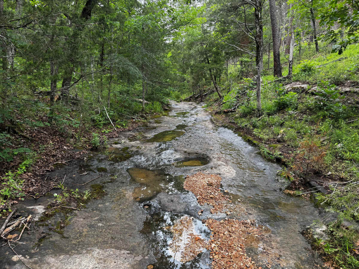
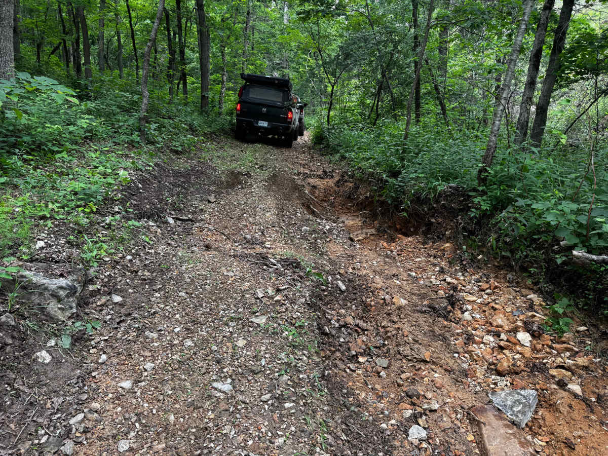
This route quickly separates itself from the easier forest roads in the area by introducing more technical terrain, tighter conditions, and multiple off-camber obstacles. The route narrows down to essentially one vehicle width as it winds through dense hardwood and pine forest, leaving very few opportunities to pass another vehicle. Several sections show heavy erosion and deep washouts that can force vehicles to articulate while leaning off-camber. Drivers will need to carefully choose tire placement to avoid dropping into deeper ruts or catching low-hanging differentials on exposed terrain. The route also features slick rock slab sections in lower creek-like areas where water actively flows. The surrounding forest feels remote and untouched, with creek crossings, thick vegetation, and heavily shaded sections adding to the technical atmosphere.
Difficulty
This route features narrow one vehicle wide sections, deep washouts, exposed rock slabs, creek-style crossings, and short steep climbs that make it more technical than most nearby routes. Off-camber erosion and rutted sections can cause significant articulation. A high-clearance 4x4 with low range is strongly recommended, along with 35-inch tires, skid plates, and at least a 2.5" lift.
History
The roads throughout this region were originally established for logging, mining, homestead access, and fire management long before recreational off-roading became popular. Portions of the surrounding Buffalo National River area contain deep ties to Ozark pioneer history, including old settlements, abandoned homesites, family cemeteries, and former mining operations dating back to the late 1800s and early 1900s. The nearby Rush Historic District was once one of the largest zinc mining communities in Arkansas during the early 20th century. Many of the ridge roads and hollows drivers travel today follow paths historically used by miners, loggers, ranchers, and local residents navigating the rugged Ozark terrain long before modern highways existed.