Trail Overview
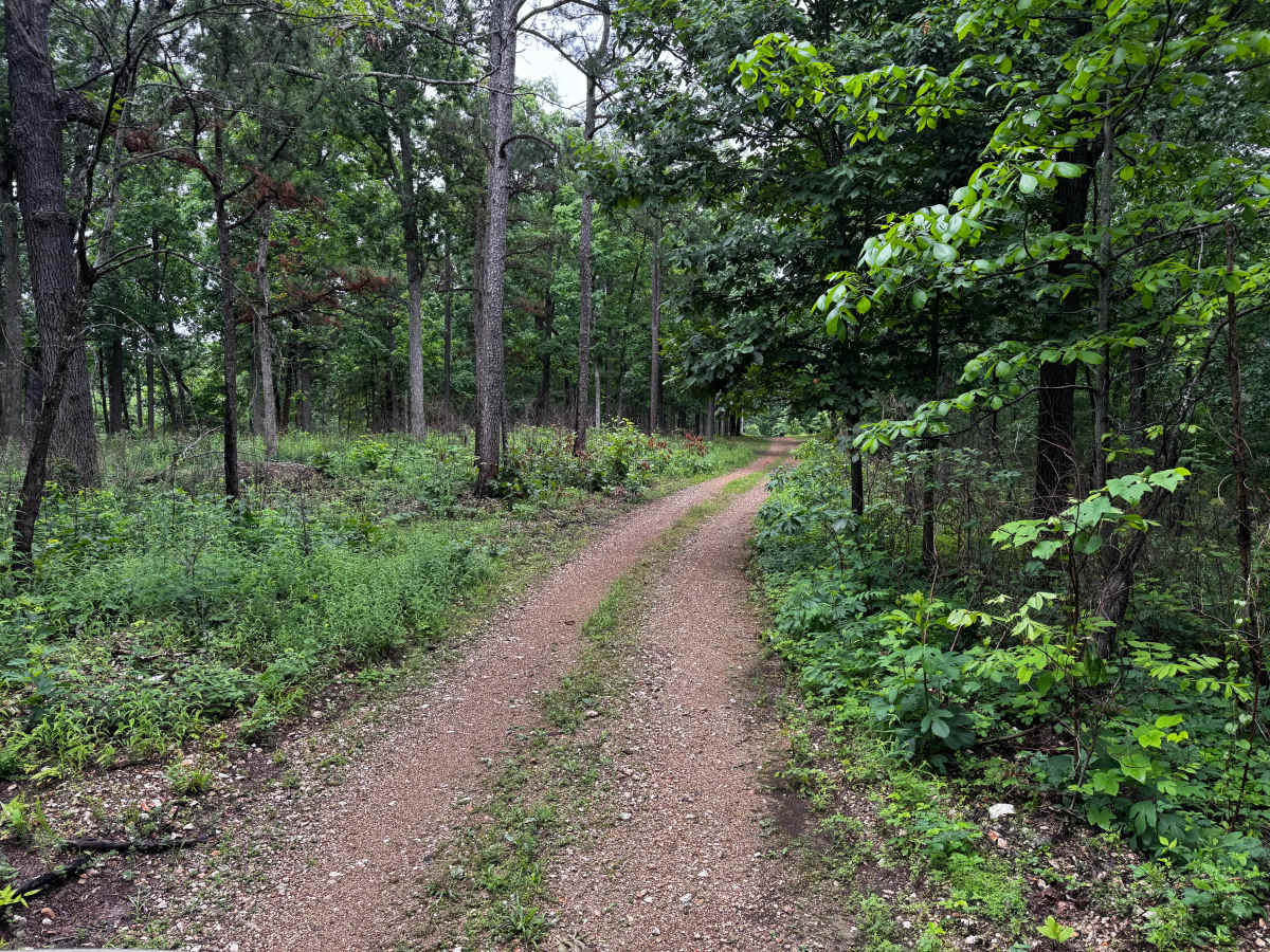
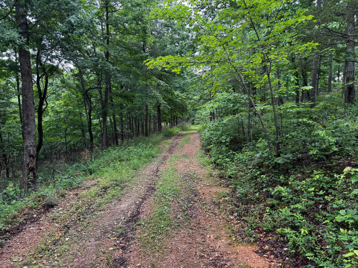
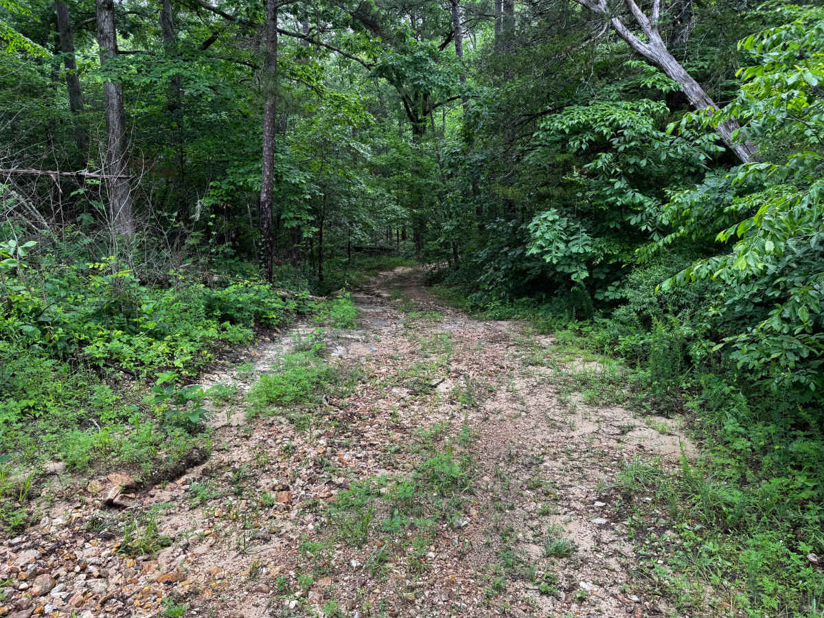
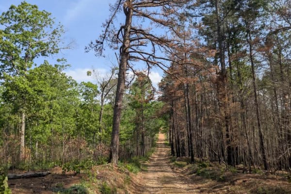
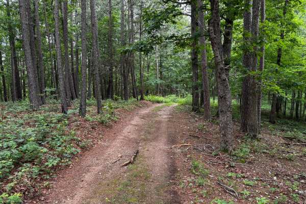
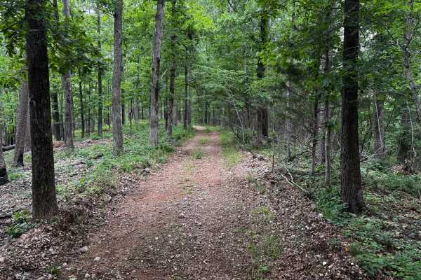
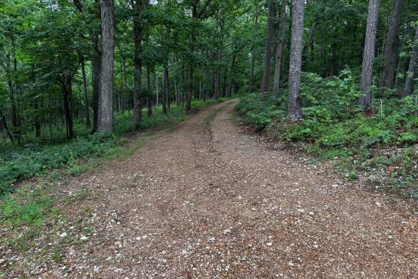
This route winds through dense pine and hardwood forest on a narrow one-vehicle-wide trail with very few places wide enough for passing. The trail begins as a relatively smooth gravel and dirt path but quickly becomes tighter as thick vegetation and low hanging branches start closing in along both sides of the route. Pinstriping is highly likely for full-size trucks and wider vehicles, especially in sections where brush and limbs lean directly into the route. Several downed limbs and loose logs were present along the route, so drivers should remain alert for debris that could shift or kick up underneath the vehicle.
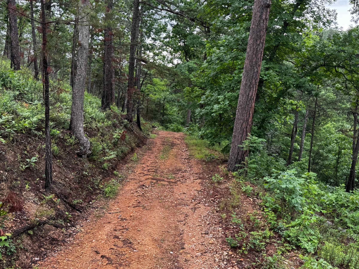
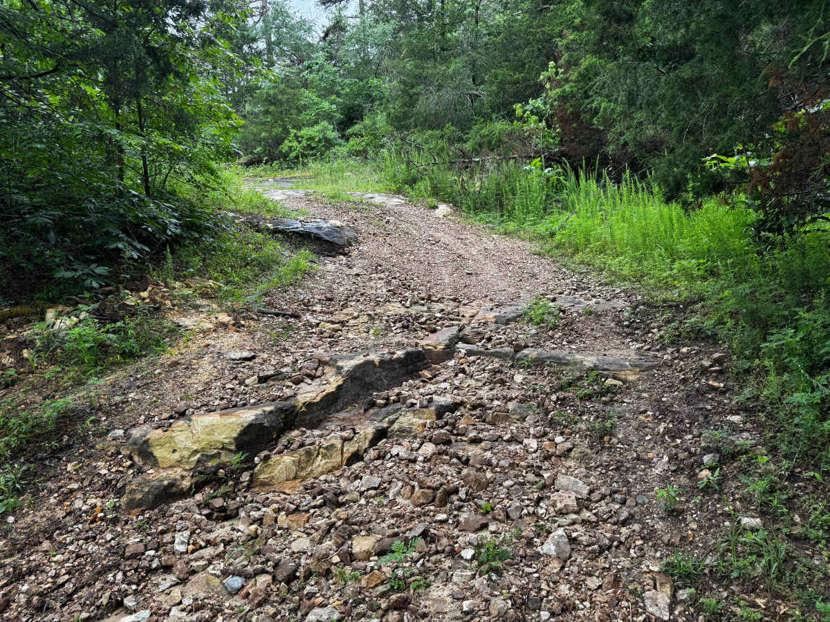
As the route continues deeper into the woods, the terrain becomes rougher with scattered loose rock and uneven washouts. One rocky section contains larger exposed rock ledges and loose rock. There is also a narrow off-camber section along the hillside where the trail leans toward a ravine below, requiring extra caution during wet conditions.
Difficulty
This narrow forest trail is best suited for high clearance 4x4s. Overgrowth, low hanging branches, and tight sections make pinstriping very likely, especially for full-size rigs. The route also includes a few rocky sections, scattered debris, and one off-camber area near a ravine that requires careful tire placement. Most obstacles are manageable in dry conditions, but wet weather could increase the difficulty due to slick terrain and reduced traction.
History
The roads throughout this region were originally established for logging, mining, homestead access, and fire management long before recreational off-roading became popular. Portions of the surrounding Buffalo National River area contain deep ties to Ozark pioneer history, including old settlements, abandoned homesites, family cemeteries, and former mining operations dating back to the late 1800s and early 1900s. The nearby Rush Historic District was once one of the largest zinc mining communities in Arkansas during the early 20th century. Many of the ridge roads and hollows drivers travel today follow paths historically used by miners, loggers, ranchers, and local residents navigating the rugged Ozark terrain long before modern highways existed.