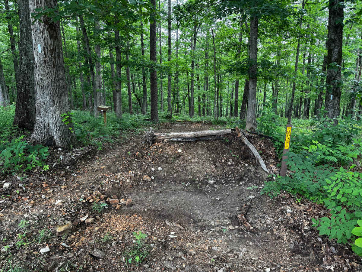
Trail Overview
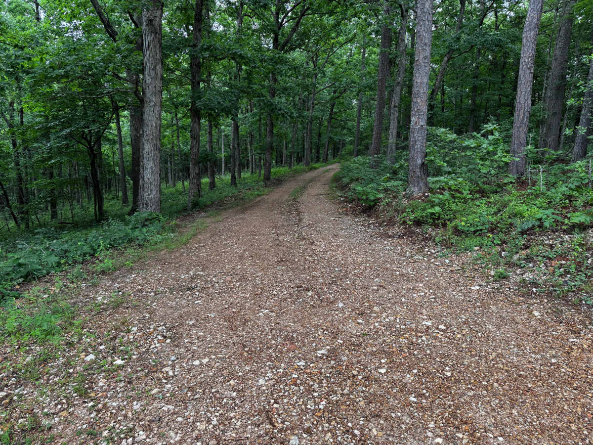
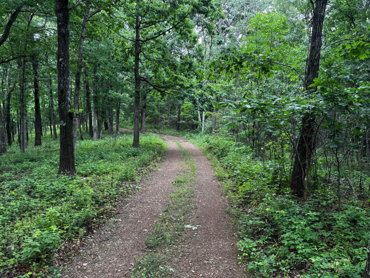
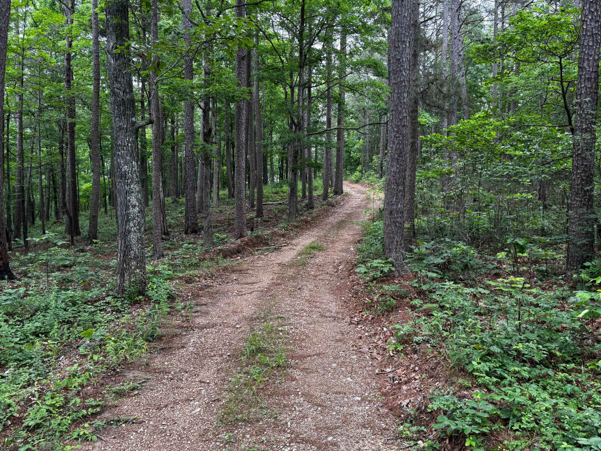
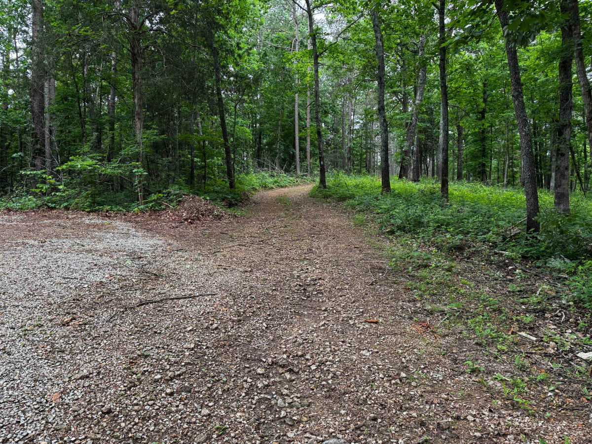
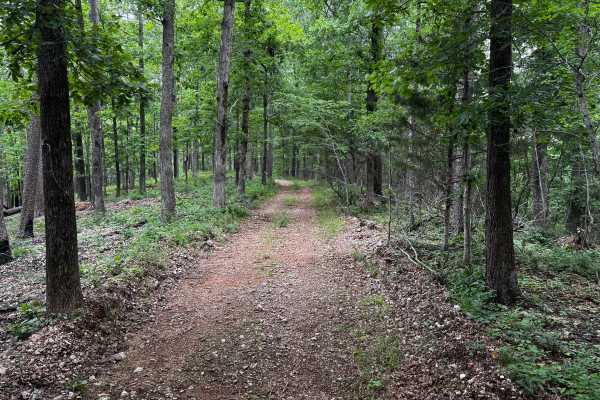
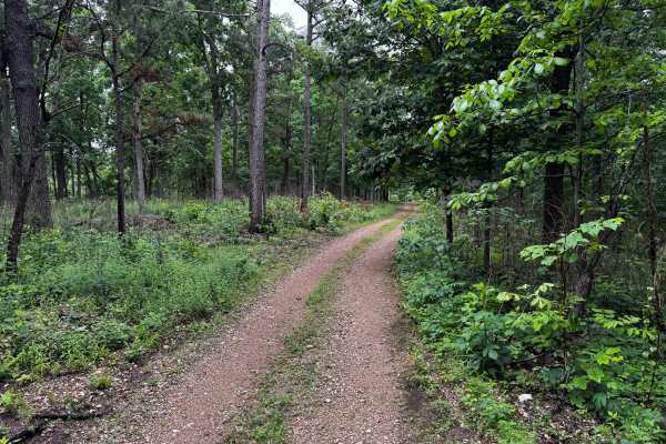
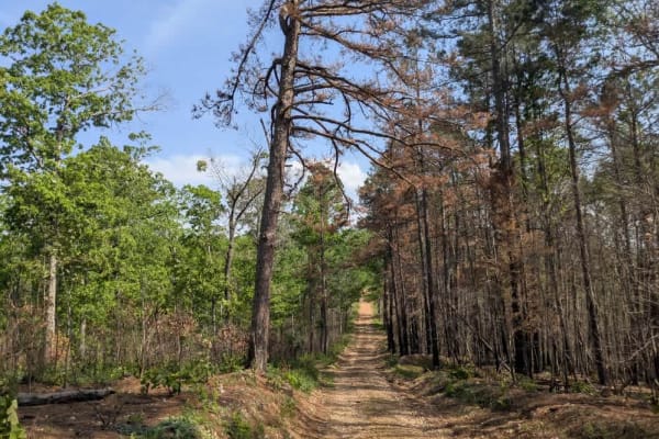
This route winds through a dense forest of tall pine and hardwood trees on a mostly maintained gravel road. The trail is generally smooth and easy to navigate, though it remains only one vehicle wide for most of the drive, making passing difficult for wider rigs or trailers. The surrounding forest creates a quiet and enclosed feel with thick greenery lining both sides of the trail and occasional elevation changes as the road curves through the hills. Along the route, you will reach the former OHP Trail access, which has since been closed off by the Forest Service and converted into a hiking trail. Near the prairie section is a parking area if you plan to explore the hiking trail.
Difficulty
This is an easy gravel route with minimal technical obstacles. The road is mostly maintained and suitable for most stock high-clearance AWD or 4WD vehicles. The primary challenge comes from the narrow one vehicle wide sections where passing can be difficult, especially for full-size trucks or wider rigs.
History
The roads throughout this region were originally established for logging, mining, homestead access, and fire management long before recreational off-roading became popular. Portions of the surrounding Buffalo National River area contain deep ties to Ozark pioneer history, including old settlements, abandoned homesites, family cemeteries, and former mining operations dating back to the late 1800s and early 1900s. The nearby Rush Historic District was once one of the largest zinc mining communities in Arkansas during the early 20th century. Many of the ridge roads and hollows drivers travel today follow paths historically used by miners, loggers, ranchers, and local residents navigating the rugged Ozark terrain long before modern highways existed.