Trail Overview
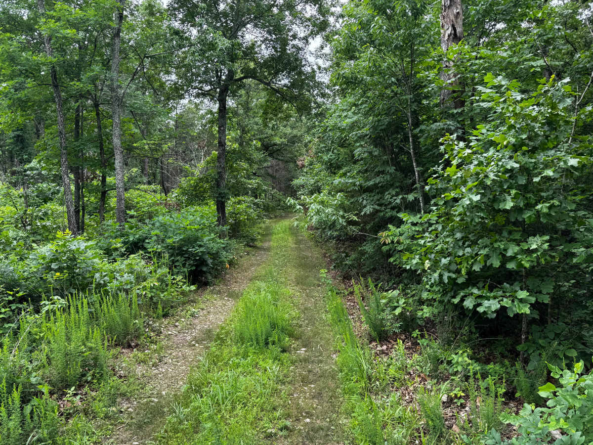
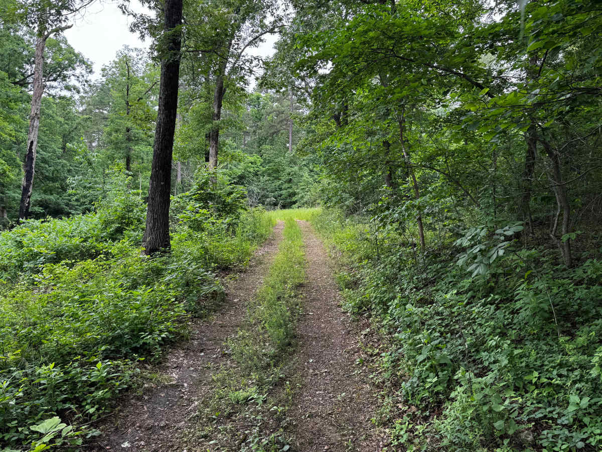
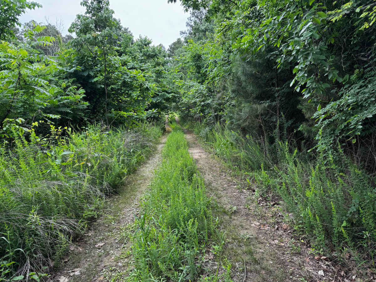
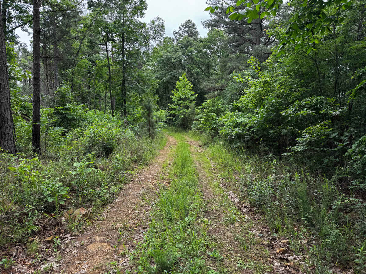
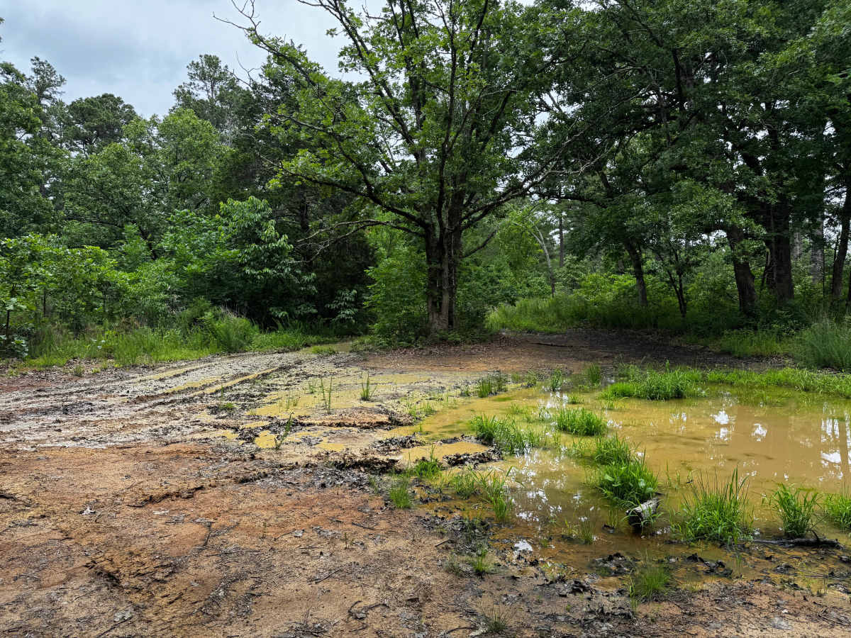
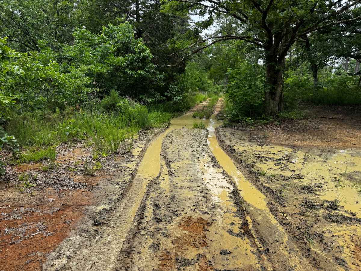
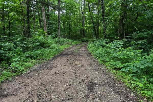
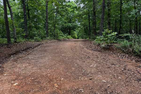
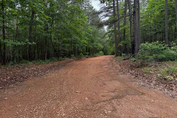
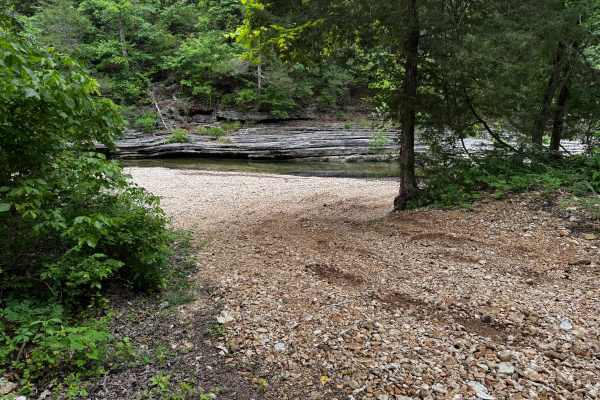
This route is a continuation of Rosemary Knob and becomes noticeably narrower as the route pushes deeper into the forest. Thick overgrowth lines both sides of the route, with grass and vegetation growing heavily between the tire tracks, giving the trail a more secluded and lightly traveled feel. Dense hardwoods and pine trees surround the trail almost the entire way, creating a tunnel-like drive through the Ozark National Forest. Near the end of the route, deeper mud holes and rutted sections can develop, especially after rain, causing vehicles to slide around slightly. While there are no major rock obstacles or steep climbs, the narrow width and muddy conditions can make the route more challenging. The muddy turnaround area at the end provides a place to stop before reaching private property.
Difficulty
This route is narrower and less maintained than the surrounding forest roads, with heavy overgrowth crowding both sides of the route and vegetation growing between the tire tracks. Muddy sections and ruts near the end of the route can become slick after rain and may cause vehicles to slide around slightly. While there are no major rock obstacles drivers should expect tight clearances, possible pinstriping, and uneven muddy terrain.
History
The roads throughout this region were originally established for logging, mining, homestead access, and fire management long before recreational off-roading became popular. Portions of the surrounding Buffalo National River area contain deep ties to Ozark pioneer history, including old settlements, abandoned homesites, family cemeteries, and former mining operations dating back to the late 1800s and early 1900s. The nearby Rush Historic District was once one of the largest zinc mining communities in Arkansas during the early 20th century. Many of the ridge roads and hollows drivers travel today follow paths historically used by miners, loggers, ranchers, and local residents navigating the rugged Ozark terrain long before modern highways existed.