
Beginner Off-Road Trails
Near Gramling, South Carolina
Explore All Beginner Trails Near Gramling, South Carolina
Beginner Off-Road Trails Near Gramling, South Carolina
Discover the best beginner-friendly off-road trails near you. These easier, lower-rated trails are a great place to start — browse trail maps, check difficulty ratings, and find your next adventure.
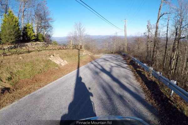
Pinnacle - SCAR Alternate
This trail might suit you if you're looking for a scenic side trip on the South Carolina Adventure Route. It runs along the outskirts of the Dupont State Forest and provides ridgetop views. The trail is dirt and will include some steep and rutted grades. About the SCAR: The South Carolina Adventure ...
Learn more about Pinnacle - SCAR Alternate
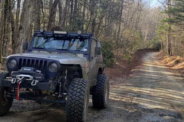
Pinicale Mt Rd
Pinnacle Mountain Road offers an easy and scenic driving experience ideal for beginners, families, and stock high-clearance vehicles looking to explore the beautiful woodlands along the North Carolina and South Carolina border. Running through a mix of public and wildlife conservation lands, this ro...
Learn more about Pinicale Mt Rd
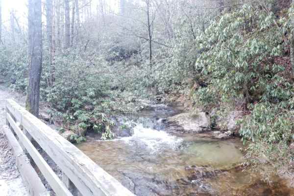
Green River Road
This is a short dirt and gravel trail that can be combined with Pinnacle Mountain Road to make a great loop. It runs along a small stream with great views of the stream and a small waterfall. It runs through a wooded area from a river valley up to a ridge. It's an easy trail with only small rocks an...
Learn more about Green River Road
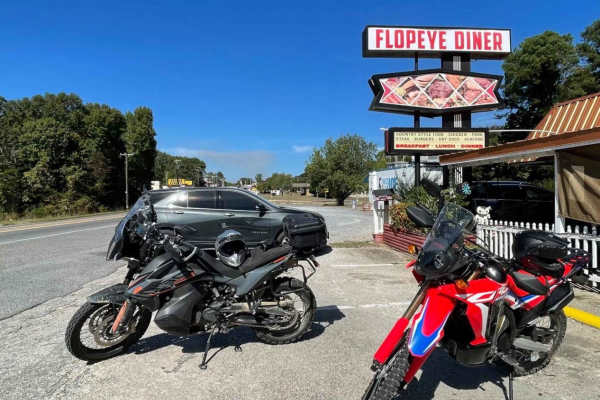
South Carolina Adventure Route Segment 4
Segment 4 transits the "midlands" section of South Carolina, with the towns of Gaffney and Camden on each end. This section is mostly forested and contains a mixture of pavement, gravel, and clay roads. The clay can become quite slick and rutted when wet, and the ruts can hold their form when dry, s...
Learn more about South Carolina Adventure Route Segment 4
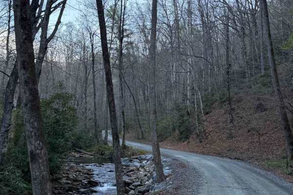
Avery Creek - FS 477
Avery Creek is a well-maintained gravel road that winds through Pisgah National Forest. This is a single-track road with room to pass most of the way through. There are lots of great creekside campsites toward the beginning of the south entrance. Dispersed camping in designated sites only. Once you...
Learn more about Avery Creek - FS 477
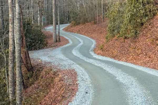
Cathey's Creek Road - FS 471
Cathey's Creek Road (FS 471) is a quintessential 7.4-mile gravel route through the lush, high-canopy forests of the Pisgah National Forest. Starting off US Route 64, the trail maintains a steady, winding climb as it tracks the path of the creek. This route is a popular connector for overlanders and ...
Learn more about Cathey's Creek Road - FS 471
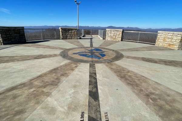
Sassafras - SCAR Alternate
Sassafras - SCAR Alternate is an easy, scenic out-and-back trail designed for any offroad enthusiast looking to stand atop South Carolina's highest point of elevation. This 8.7-mile route serves as a fantastic spur from the main South Carolina Adventure Route (SCAR) loop, climbing from an elevation ...
Learn more about Sassafras - SCAR Alternate
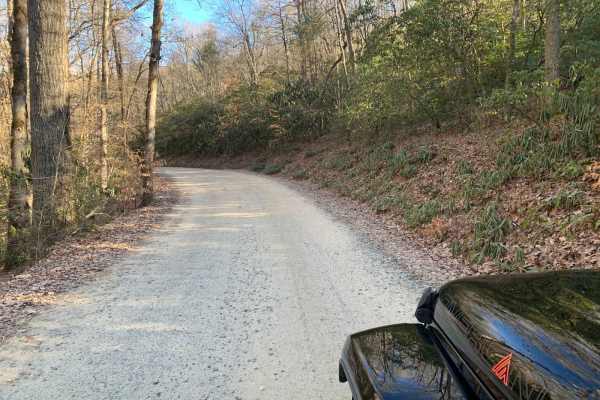
Wash Creek FR 5000
This is an easy road that does not require 4x4. The road is not maintained when it has snowed. You gain 945 feet of elevation, but it is very gradual. There are several places along the road with stunning views, but you would have to go in the winter to get the best views. There are several designat...
Learn more about Wash Creek FR 5000
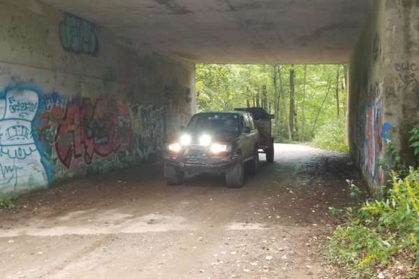
Bent Creek Trail
Bent Creek Trail (Forest Service Road 479) is an easy, scenic gravel connector ideal for beginner off-roaders and overland travelers looking to transition seamlessly from the Asheville area to the heights of the Blue Ridge Parkway. Spanning approximately 4.4 miles through the Pisgah National Forest,...
Learn more about Bent Creek Trail
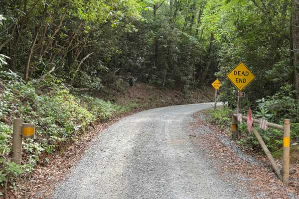
Cove Creek Road - FS 225
Cove Creek Road - FS 225 is a 2.2-mile out-and-back route that follows a single-lane gravel road with places to pass. The road is well maintained and travels through heavily forested terrain before reaching a clearing at the end of the route. Rated easy, it features a smooth surface with no obstacle...
Learn more about Cove Creek Road - FS 225
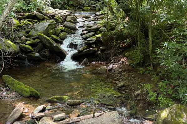
Davidson River Road - FS 475
Davidson River Road is a well-maintained Forest Service road that travels through a portion of the Pisgah National Forest. The road runs adjacent to the Davidson River. There are several waterfalls visible from the trail and access points for the river. Several trailheads offer parking along the tra...
Learn more about Davidson River Road - FS 475
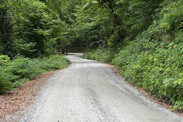
Headwater
Headwater Road (FS 475B) is an easygoing forest service road suited for stock SUVs, crossovers, and high-clearance passenger vehicles looking for scenic access in the Pisgah Ranger District. Starting off US-276 near the Davidson River and the base of Looking Glass Rock, this well-traveled gravel rou...
Learn more about Headwater
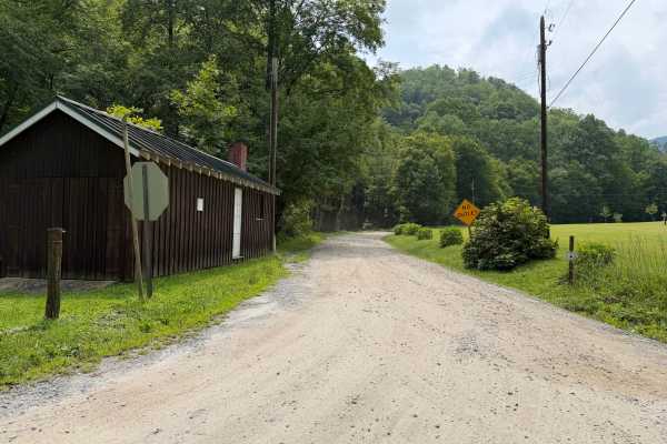
Newberry Creek - FS 482A
Coming up onto Newberry Creek - FS 482A, off of Curtis Creek Road, this trail will lead you to numerous private properties that are posted throughout the trail. A creek runs along side the trail but can only be accessible when coming up towards the end where you can legally fish without trespassing ...
Learn more about Newberry Creek - FS 482A
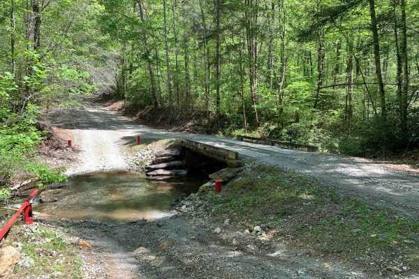
Shooting Tree Ridge Road
Shooting Tree Ridge is a gravel forest road located within the Jocassee Gorges of upstate South Carolina, just east of Lake Jocassee in Pickens County. The 8.5-mile trail runs from Cleo Chapman Highway in Eastatoee, north to Horse Pasture Road. There's an area within the gate for parking, and you ca...
Learn more about Shooting Tree Ridge Road

Canebrake Road
Canebrake Road is a 5-mile-long gravel road that cuts through the Jocassee Gorges and Laurel Fork Heritage Wildlife Management areas. It is generally open to motorized vehicles from September 15 through January 2 and March 20th through the end of April. The road is open to plated vehicles as well as...
Learn more about Canebrake Road
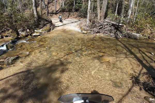
Jackie's Ridge Road
Canebrake Road is a 2.1-mile-long gravel road the road cutting through the Jocassee Gorges and Laurel Fork Heritage Wildlife Management areas. The road is generally open to motorized vehicles from September 15 through January 2 and from March 20th through the end of April. The road is open to plated...
Learn more about Jackie's Ridge Road
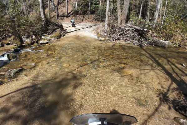
Dawkins Flat Road
Dawkins Flat Road is a 3-mile-long gravel road, the road cutting through the Jocassee Gorges and Laurel Fork Heritage Wildlife Management areas. The road is generally open to motorized vehicles from September 15 through January 2 and March 20th through the end of April. The road is open to plated ve...
Learn more about Dawkins Flat Road
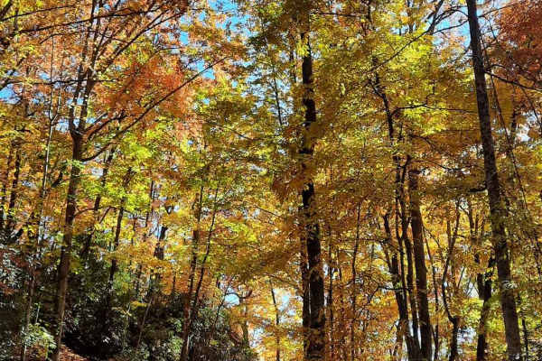
Jumping Off - SCAR Alternate
West of Table Rock you will find this scenic out-and-back diversion. It's a nice addition to add some more challenging riding or driving to the main South Carolina Adventure Route loop. Along its path, you will encounter steep grades which are often rutted and loose.
About the SCAR: The South Carol...
Learn more about Jumping Off - SCAR Alternate

South Toe River
South Toe River is a basic, but scenic trail located near Mount Mitchell in North Carolina. The trail begins at the Blue Ridge Parkway on its south end and terminates at the Toe River Trail at its north end. The quaint forest service road meanders along the south toe river and past a handful of smal...
Learn more about South Toe River
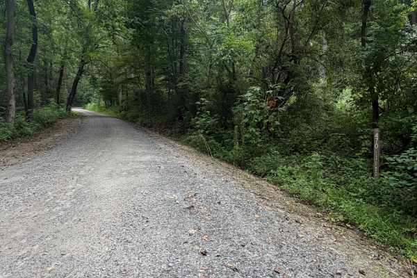
Little Buck Creek - FS 470
Coming up onto Little Buck Creek - FS 470, located above Lake Tahoma off of Highway 80 in Marion. You will casually drive past many homes alongside the lake until you are met with the forestry sign that starts your ascent up the mountain. Many postings and private property signs are spotted up until...
Learn more about Little Buck Creek - FS 470
Beginner ATV trails near Gramling, South Carolina
Explore ATV-friendly trails near you. These trails are accessible for vehicles up to 50 inches wide, perfect for ATVs and smaller off-road machines.
Avery Creek - FS 477
Avery Creek is a well-maintained gravel road that winds through Pisgah National Forest. This is a single-track road with room to pass most of the way through. There are lots of great creekside campsites toward the beginning of the south entrance. Dispersed camping in designated sites only. Once you...
Learn more about Avery Creek - FS 477
Wash Creek FR 5000
This is an easy road that does not require 4x4. The road is not maintained when it has snowed. You gain 945 feet of elevation, but it is very gradual. There are several places along the road with stunning views, but you would have to go in the winter to get the best views. There are several designat...
Learn more about Wash Creek FR 5000
Shooting Tree Ridge Road
Shooting Tree Ridge is a gravel forest road located within the Jocassee Gorges of upstate South Carolina, just east of Lake Jocassee in Pickens County. The 8.5-mile trail runs from Cleo Chapman Highway in Eastatoee, north to Horse Pasture Road. There's an area within the gate for parking, and you ca...
Learn more about Shooting Tree Ridge Road
Jumping Off - SCAR Alternate
West of Table Rock you will find this scenic out-and-back diversion. It's a nice addition to add some more challenging riding or driving to the main South Carolina Adventure Route loop. Along its path, you will encounter steep grades which are often rutted and loose.
About the SCAR: The South Carol...
Learn more about Jumping Off - SCAR Alternate
Beginner UTV/side-by-side trails near Gramling, South Carolina
Find UTV and side-by-side trails near you. These trails accommodate vehicles up to 60 inches wide, ideal for UTVs, side-by-sides, and wider off-road rigs.
Avery Creek - FS 477
Avery Creek is a well-maintained gravel road that winds through Pisgah National Forest. This is a single-track road with room to pass most of the way through. There are lots of great creekside campsites toward the beginning of the south entrance. Dispersed camping in designated sites only. Once you...
Learn more about Avery Creek - FS 477
Wash Creek FR 5000
This is an easy road that does not require 4x4. The road is not maintained when it has snowed. You gain 945 feet of elevation, but it is very gradual. There are several places along the road with stunning views, but you would have to go in the winter to get the best views. There are several designat...
Learn more about Wash Creek FR 5000
Shooting Tree Ridge Road
Shooting Tree Ridge is a gravel forest road located within the Jocassee Gorges of upstate South Carolina, just east of Lake Jocassee in Pickens County. The 8.5-mile trail runs from Cleo Chapman Highway in Eastatoee, north to Horse Pasture Road. There's an area within the gate for parking, and you ca...
Learn more about Shooting Tree Ridge Road
Canebrake Road
Canebrake Road is a 5-mile-long gravel road that cuts through the Jocassee Gorges and Laurel Fork Heritage Wildlife Management areas. It is generally open to motorized vehicles from September 15 through January 2 and March 20th through the end of April. The road is open to plated vehicles as well as...
Learn more about Canebrake Road
The onX Offroad Difference
onX Offroad combines trail photos, descriptions, difficulty ratings, width restrictions, seasonality, and more in a user-friendly interface. Available on all devices, with offline access and full compatibility with CarPlay and Android Auto. Discover what you're missing today!
Open Trail Map