Pinnacle - SCAR Alternate

Total Miles20.4
Technical Rating
2Easy
Best TimeSpring, Summer, Fall, Winter
Trail TypeFull-Width Road
Accessible By
Open Trail Map

Trail Overview

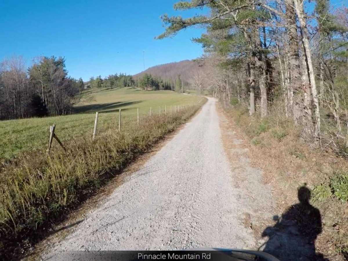
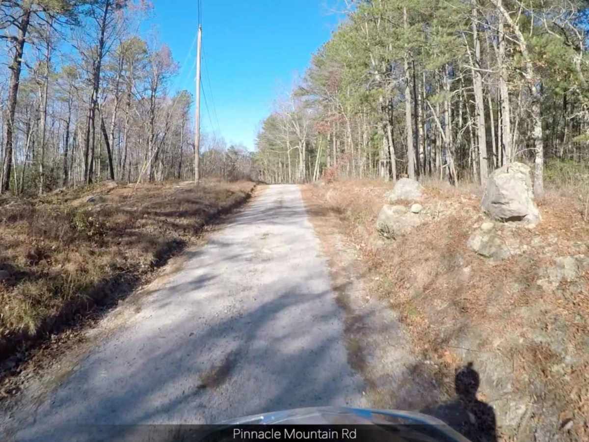
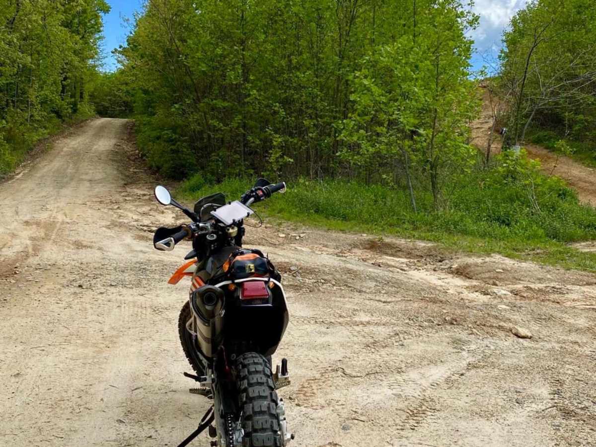
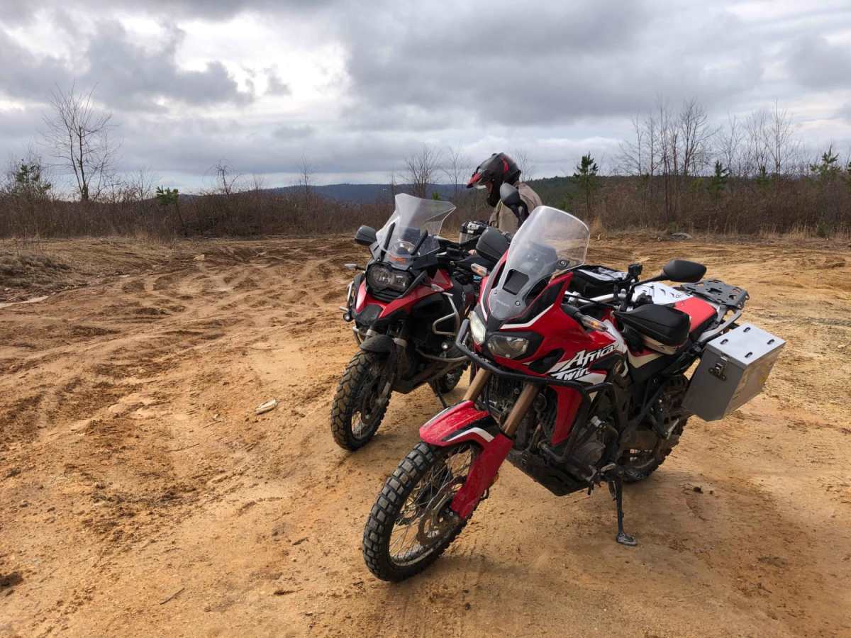
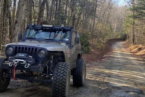
Pinnacle - SCAR Alternate offers dual-sport riders and four-wheel-drive enthusiasts a scenic detour off the main South Carolina Adventure Route, showcasing stunning ridgetop views along the boundary of DuPont State Recreational Forest. Spanning approximately 20.4 miles, this trail climbs from a minimum elevation of 2,017 feet to a maximum of 3,709 feet, making it an excellent option for those seeking a less-traveled bypass with moderate elevation changes. The route is primarily a graded dirt road, earning it a technical rating of 2, though travelers should prepare for sections with steep, rutted grades that can become slick and muddy during wet weather. Winding through the lush mountain terrain of the North and South Carolina border region, this route features about 1,958 feet of cumulative elevation gain, providing a dynamic driving experience without being overly technical. It serves as a scenic connection to the broader 1,000-mile South Carolina Adventure Route (SCAR), which links up with iconic overland tracks like the Smokey Mountains 500, the Georgia Traverse, and the Trans-America Trail. While stock four-wheel-drive vehicles, adventure motorcycles, and SxSs can easily handle the graded surface in dry conditions, rain can quickly turn the clay and dirt into slick, rutted tracks, requiring careful tire placement on the steeper inclines.

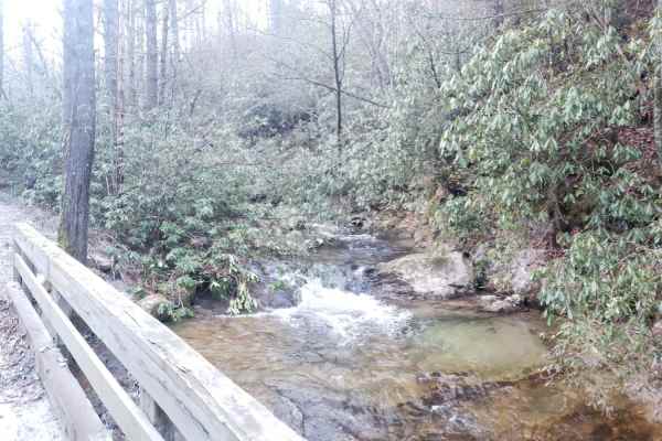
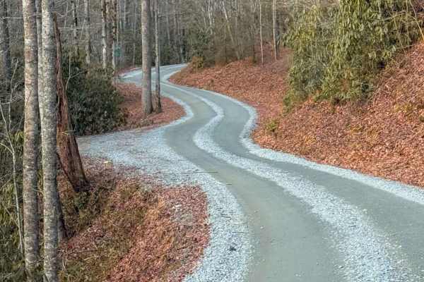
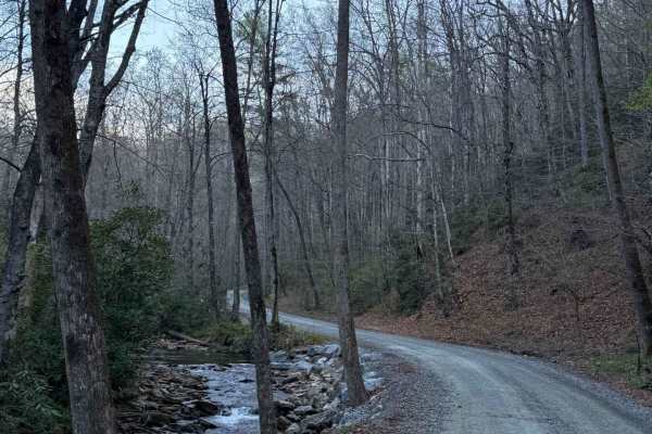
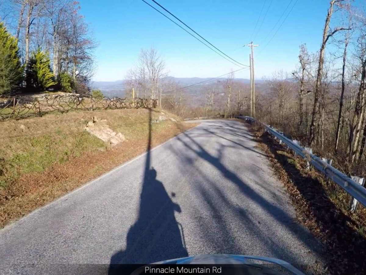
Photos of Pinnacle - SCAR Alternate

Difficulty

Largely a graded dirt road

Technical Rating

2

Status Reports

Add Status Report
Mark Hodgkin
Aug 16, 2026
2025 Toyota 4Runner
Open
Normal
Trail was in good shape. The second part of the route (closes to Pinnacle Mountain Road) is pretty rocky with some big dips and ruts across the path. But some beautiful woods on the route though fewer mountain views than I might have expected.
G Burgess
Jul 04, 2026
1994 Toyota 4Runner
Open
Normal
Ben Gray
May 16, 2026
2006 Ford F150
Open
DustyRough/Deteriorated
Great trail with tons of obstacles to the sides if you want to try out your traction or clearance etc. most of the trail is pretty smooth but about halfway in you have embedded rock sections and large mud holes to either side of the trail as well as some easily level 7 roads branching off that are insane. Did all of it in 2 wheel drive except the mud pits.
Alan Farris
Nov 23, 2025
2018 Jeep Wrangler
Open
Double your check coordinates and GPS before going. Provided navigation drops you on Green River road (opposite side) instead of Pinicale Mtn.
Joe Robinson
Nov 01, 2025
2020 Jeep Gladiator
Open
Normal
Trail was in great shape, nothing technically challenging, but there are a few small technical branches right off the trail thst connect right back to it.
Ethan Copleston
Sep 02, 2025
2018 Toyota Tacoma
Open
NormalMuddy/Wet
Trail is good, nothing blocking path on main road, checked out some of the chutes and they seemed clear, just some good mud holes.
Tom Watson
Jul 11, 2025
2023 Jeep Compass
Open
Brayden Bramlett
May 03, 2025
2024 Ford Bronco
Open
Muddy/Wet
Thomas Meyer
Apr 03, 2025
Open
Muddy/WetRough/DeterioratedWashboard
Main road is freshly scrapped. Side trails are rough and rutted. Super fun trail!!! Lots of turkeys, a grouse, and some deer!!
Rob Lilley
Jun 28, 2024
Open
Normal
The vast majority of the road surface has been resurfaced recently. Sadly, most of the features have been filled in with 1-2" rock. Many of the side mud features have had drains installed so they were all bone dry, but it has also been extremely dry lately so perhaps they'll still be at least a little fun after rain. Hopefully after some heavy rains and more traffic the rock will settle and expose some of the dirt again, for the meantime this is more than easily traversed by any 2WD vehicle. Still a scenic ride, just don't expect anything technical.
ChefsJL13 .
Apr 25, 2024
2024 Jeep Wrangler
Open
NormalDusty
pretty basic trail, some mudholes scattered throughout the trail. 2 or 3 sections on the left for some extra little climbs with a little bit of flexing. pretty relaxing and beautiful scenery along the way
David Bagwell
Apr 20, 2024
Open
Normal
It was a beautiful day! There were a lot of motorcycles, and we slowed down so they could pass. It was the only negative of the trip. We will go back.
Tim Heatley
Sep 24, 2023
Open
Dusty
OneFear Adventures
Sep 04, 2023
Open
Normal
Josh Rowell
Aug 19, 2023
Open
Normal

Pinnacle - SCAR Alternate Trail can be accessed by the following ride types:

  • High Clearance
  • Full Width

Access Description

The route runs on public roads, and there are no fees or permits required to drive it. Off-road vehicles must remain on designated open roads, and drivers must comply with DuPont State Recreational Forest rules when passing adjacent to state land.

Pinnacle - SCAR Alternate Map

The onX Offroad Difference

onX Offroad combines trail photos, descriptions, difficulty ratings, width restrictions, seasonality, and more in a user-friendly interface. Available on all devices, with offline access and full compatibility with CarPlay and Android Auto. Discover what you're missing today!

Open Trail Map