Pinicale Mt Rd

Total Miles10.1
Technical Rating
1Easy
Best TimeSpring, Summer, Fall, Winter
Trail TypeFull-Width Road
Accessible By
Open Trail Map

Trail Overview

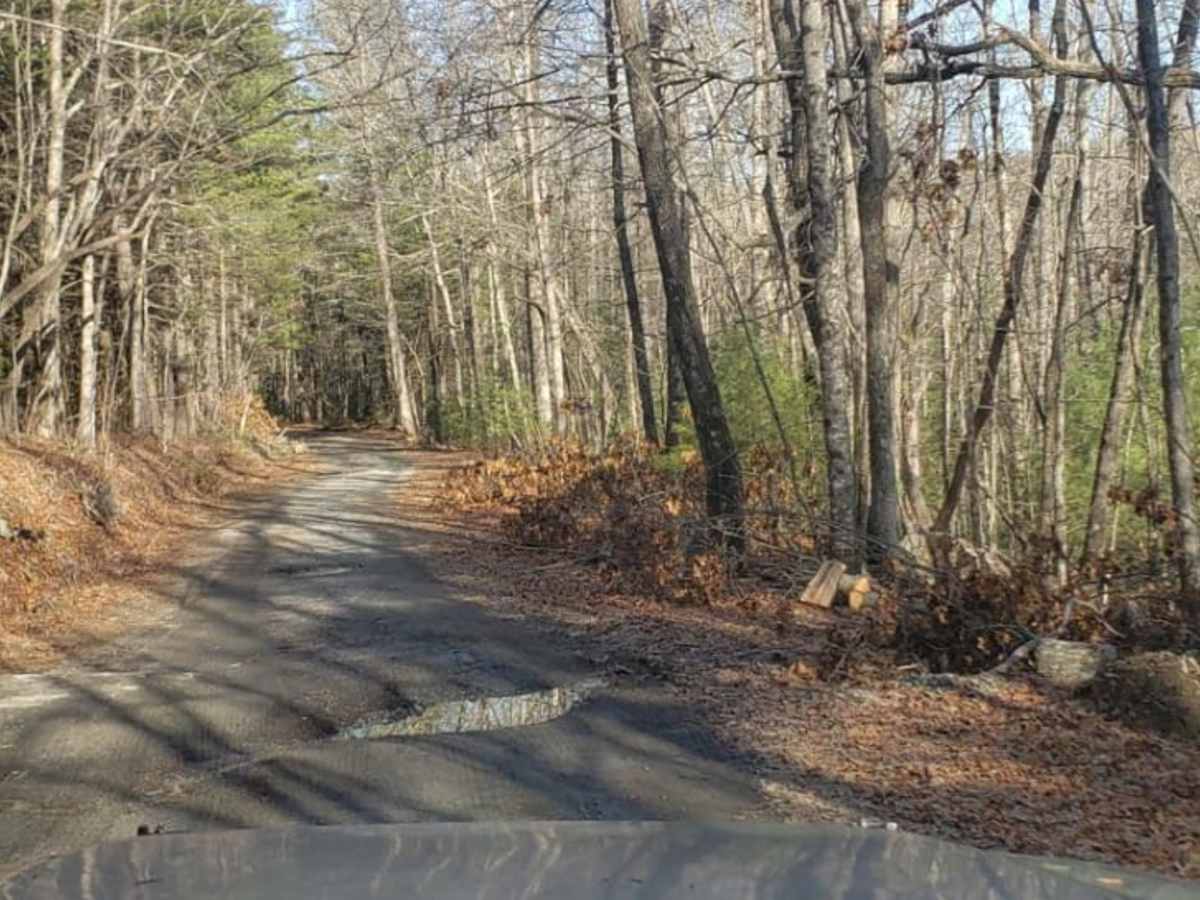
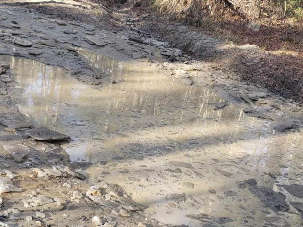
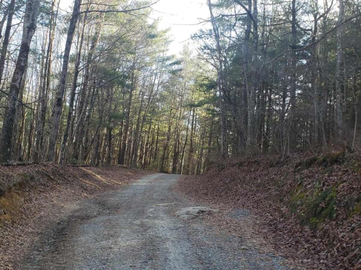
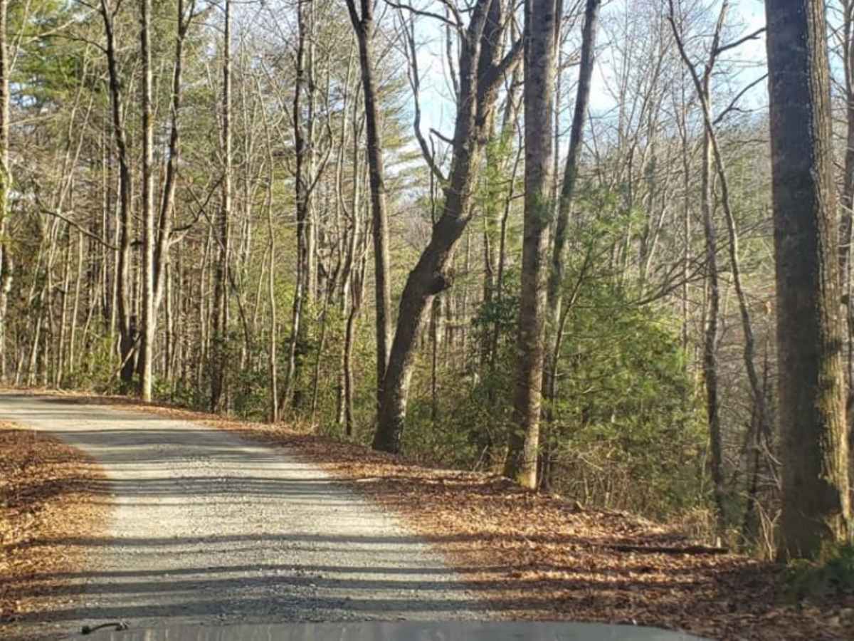
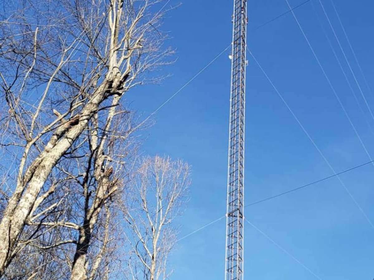
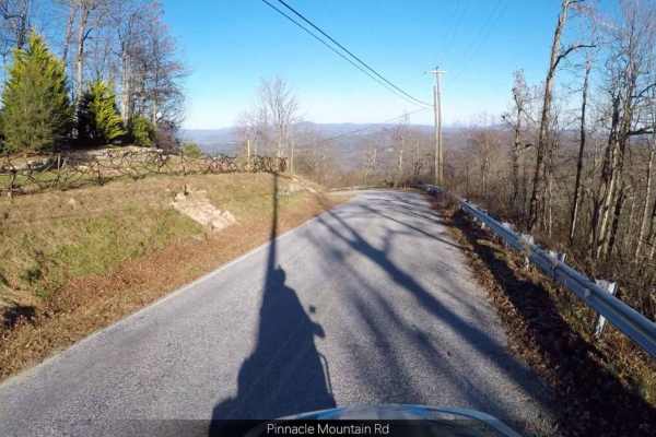
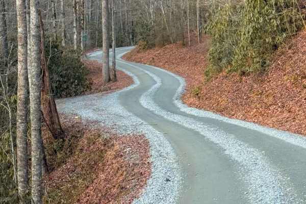
Pinnacle Mountain Road offers an easy and scenic driving experience ideal for beginners, families, and stock high-clearance vehicles looking to explore the beautiful woodlands along the North Carolina and South Carolina border. Running through a mix of public and wildlife conservation lands, this route provides gorgeous, seasonal long-range views of the surrounding peaks, particularly in the winter when the deciduous tree canopy clears. The path winds past notable geographical features including Turkey Knob, Bald Rock, and Shaggy Mountain, offering a peaceful retreat into the Appalachian forest. The trail surface consists primarily of well-maintained gravel and dirt, presenting minimal technical difficulty for standard two-wheel-drive vehicles with decent ground clearance, though standard four-wheel-drive vehicles or SxSs will find it a breeze. Drivers should remain alert for minor obstacles such as small loose rocks, potholes, and a couple of larger mud holes along the shoulder that are easily bypassed. Because the surrounding terrain is designated wildlife and public land, staying on the established roadway is strictly required to protect local habitats. The route pairs exceptionally well with the adjacent Green River Road to form a complete and rewarding scenic loop.

Photos of Pinicale Mt Rd

Difficulty

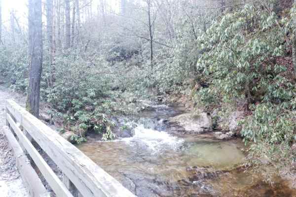
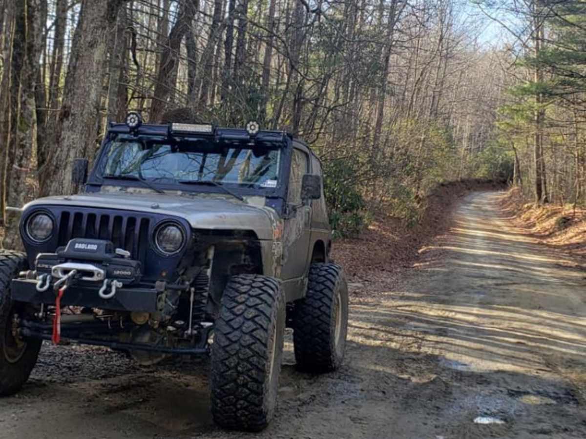
This is an easy trail. There are some small rocks and holes to watch out for, and two large mud holes on the edge of the trail, both which can be avoided.

Technical Rating

1

Status Reports

Add Status Report
Ben Gray
Jul 19, 2026
2006 Ford F150
Open
Muddy/WetRough/DeterioratedWashboard
Currently this is actually a relatively cool trail. Not a 1 at all. I’d say it’s a minimum of 3 and probably a bit closer to 4 at least based on other trails in the NC and SC area. Large washouts, ledges, exposed rock, mud holes all over the place, and steep climbs are the current obstacles and there are some relatively technical side trails. Unless they re-grade it, at the moment it’s actually worth it to have some fun light off roading. Most of the puddles are mixed soft/gravel bottoms and the deepest are around 12-18 inches deep, maybe lightly deeper. Last two pics are of the technical offshoots.
Scott Warren
Jan 22, 2026
2023 Jeep Wrangler
Open
The trail is in good shape. Easy with a few technical side trails. A few hiking trails in the DuPont forest.
Joshua Gardner
Mar 02, 2025
2021 Jeep Renegade
Open
NormalDusty
Completed this trail with my friend @wiccawanders. Trail was mostly mild. Some divots in the road and rocks that would require a little bit of maneuvering. But plenty of offshoots that allow for more fun for maybe some more advanced vehicles. In which we both completed one! Overall a fun day!
Chuck Davidson
Sep 02, 2024
2021 Jeep Gladiator
Open
Normal
Easy smooth gravel road. 4wd not needed.
will Bartram
Mar 03, 2024
Open
NormalMuddy/Wet
Harley sefcik
Feb 24, 2024
Open
NormalMuddy/Wet
Many side trails to go off and experience / explore. Beware of bicycles
Owen Visser
Dec 01, 2023
2001 Ford F-Series
Open
Muddy/Wet
Lou B
Nov 19, 2023
2023 Ford Bronco Sport
Open
NormalDusty
Benjamin Froebel
Oct 05, 2023
Open
NormalDusty
Raul Arreaza
Sep 09, 2023
Open
Normal
Dominik Felder
Jul 23, 2023
Open
Muddy/Wet
Jonathan Sasser
Jul 21, 2023
2016 Jeep Wrangler
Open
Muddy/Wet
Spencer Clark
May 29, 2023
Open
Muddy/WetRough/Deteriorated
Patrick McGinnis
Apr 29, 2023
Open
Muddy/Wet

Pinicale Mt Rd Trail can be accessed by the following ride types:

  • High Clearance
  • Full Width

Access Description

The road traverses public and wildlife conservation lands. Motorists must stay on the designated trail at all times to protect surrounding habitats. The route is accessible to both 2WD vehicles with moderate clearance and stock 4WD vehicles.

Pinicale Mt Rd Map

The onX Offroad Difference

onX Offroad combines trail photos, descriptions, difficulty ratings, width restrictions, seasonality, and more in a user-friendly interface. Available on all devices, with offline access and full compatibility with CarPlay and Android Auto. Discover what you're missing today!

Open Trail Map