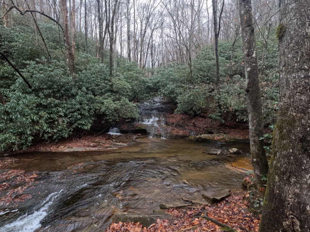
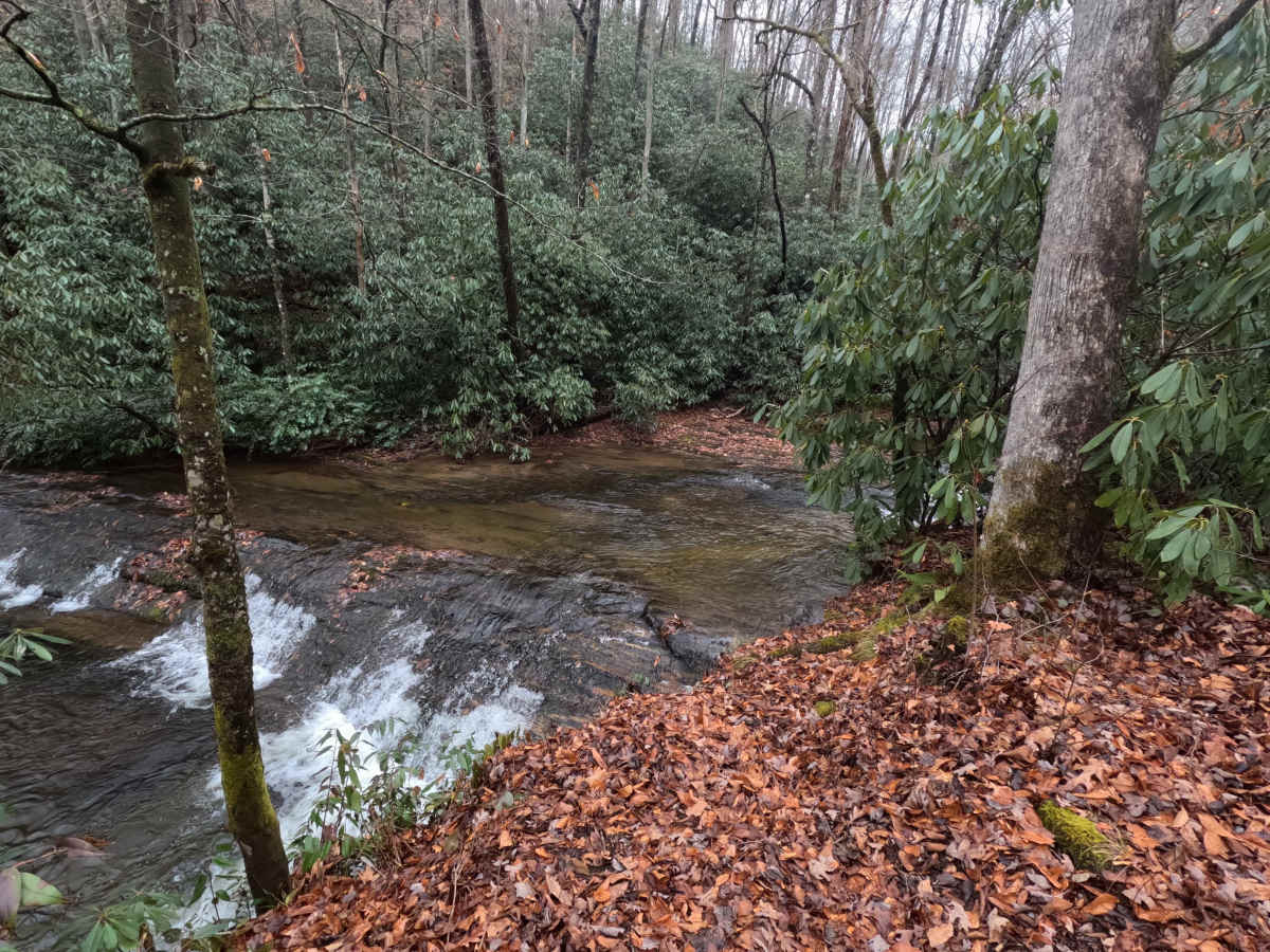
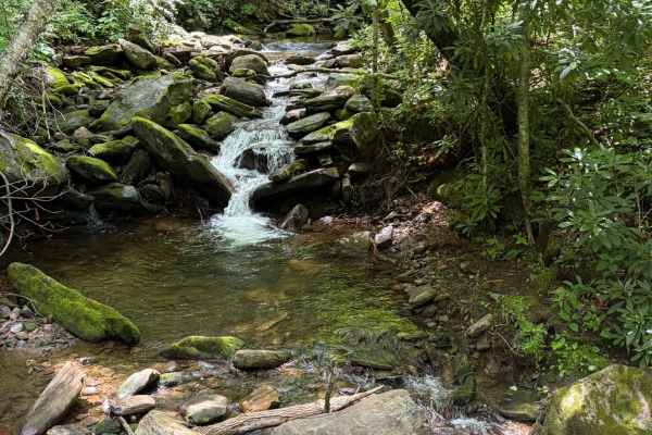
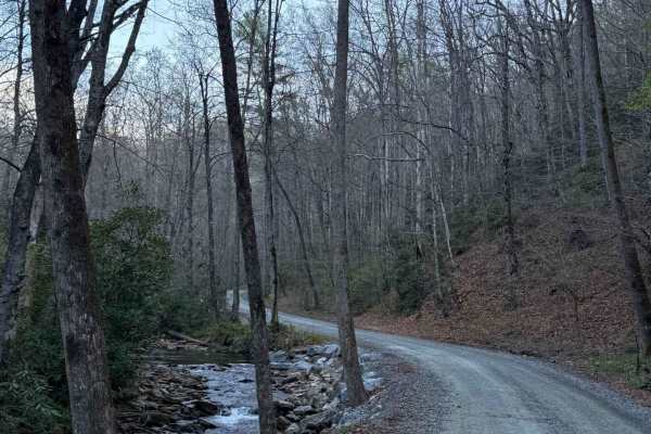
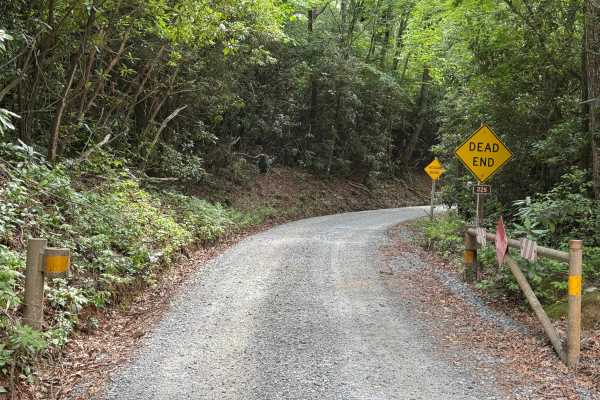
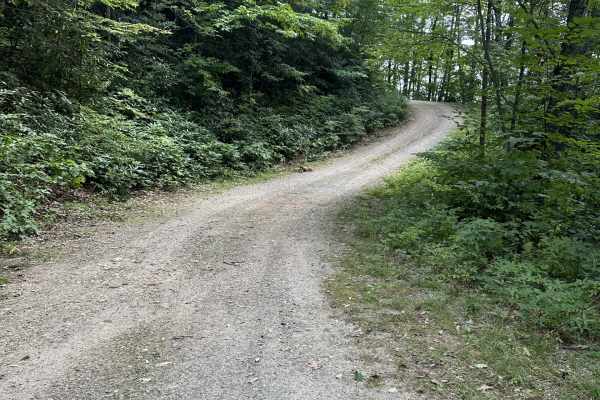
Trail Overview
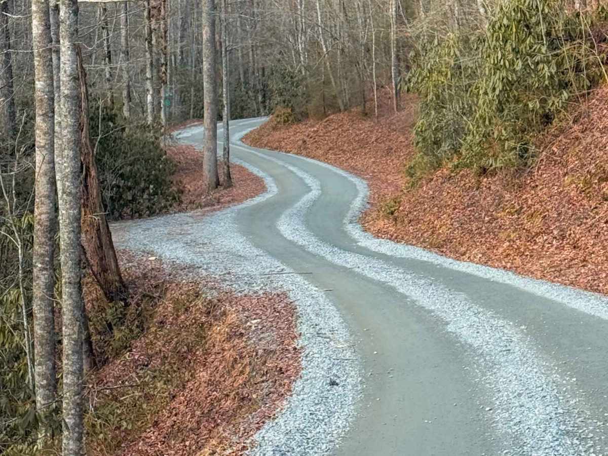
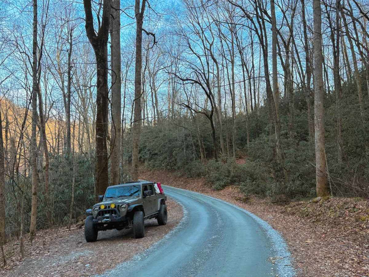
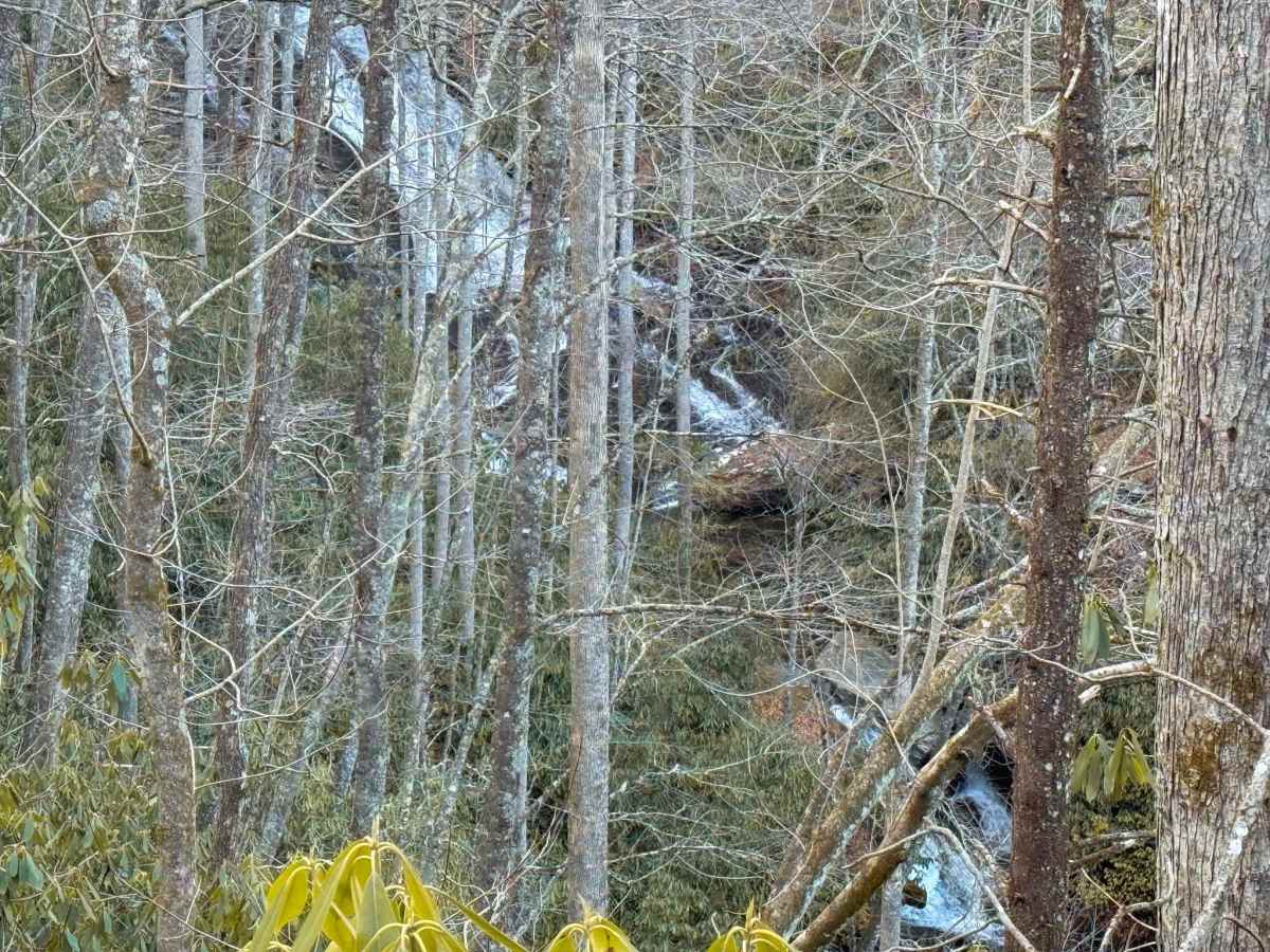
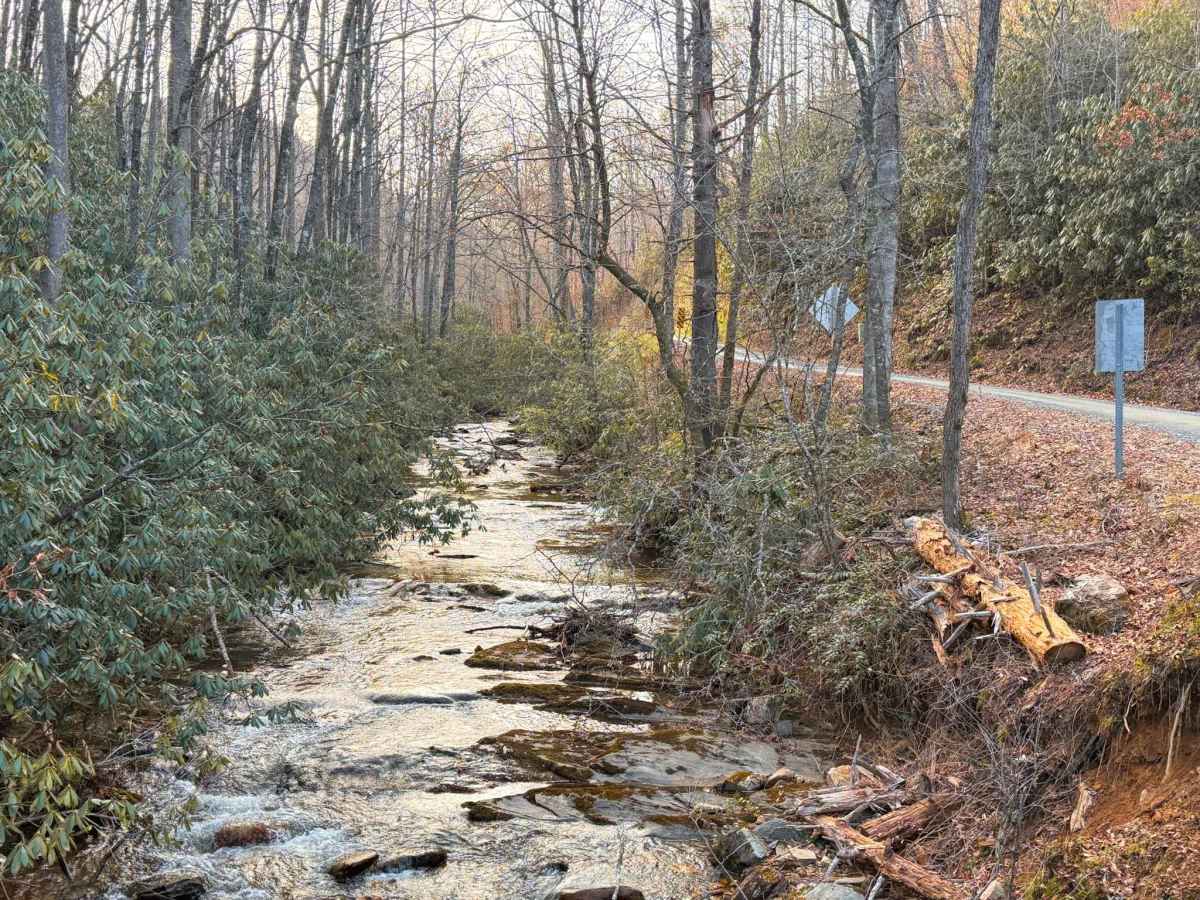
Cathey's Creek Road (FS 471) is a quintessential 7.4-mile gravel route through the lush, high-canopy forests of the Pisgah National Forest. Starting off US Route 64, the trail maintains a steady, winding climb as it tracks the path of the creek. This route is a popular connector for overlanders and dual-sport riders traveling between the Davidson River area and the high ridges of the Gloucester district. The trail is defined by its dense rhododendron tunnels and the sound of rushing water, though visitors should plan their stops carefully. Dispersed camping is strictly prohibited within 1,000 feet of Cathey's Creek Road. This regulation is strictly enforced to protect the delicate riparian ecosystem and manage high-traffic impact in the area. While you won't find roadside sites here, the drive offers world-class scenery and access to one of the forest's most iconic "hidden" waterfalls.
Difficulty
While the road is fairly easy, it can feel narrower in the upper elevations where the shelf road begins, and passing oncoming traffic may require utilizing pull-outs.
History
Early Settlement: Named for George Cathey, a Revolutionary War veteran who settled the area in the late 1700s. The lower section was once part of the historic Selica community, a Cherokee-named area meaning "whispering waters." The Logging Boom: In the early 1900s, the road served as a vital timber corridor. It once featured a 6-mile-long wooden flume (a water-filled chute) used to slide massive logs from the mountain ridges down to the railroad depot in the valley. Conservation First: Following the Weeks Act of 1911, this land became part of the first National Forest in the Eastern U.S. Brevard’s Lifeblood: Since the early 20th century, the creek has been the primary water source for the City of Brevard. The road remains critical for maintaining the municipal water intake and protecting the watershed.