Davidson River Road - FS 475

Total Miles3.8
Technical Rating
1Easy
Best TimeSpring, Summer, Fall
Trail TypeFull-Width Road
Accessible By
Open Trail Map

Trail Overview

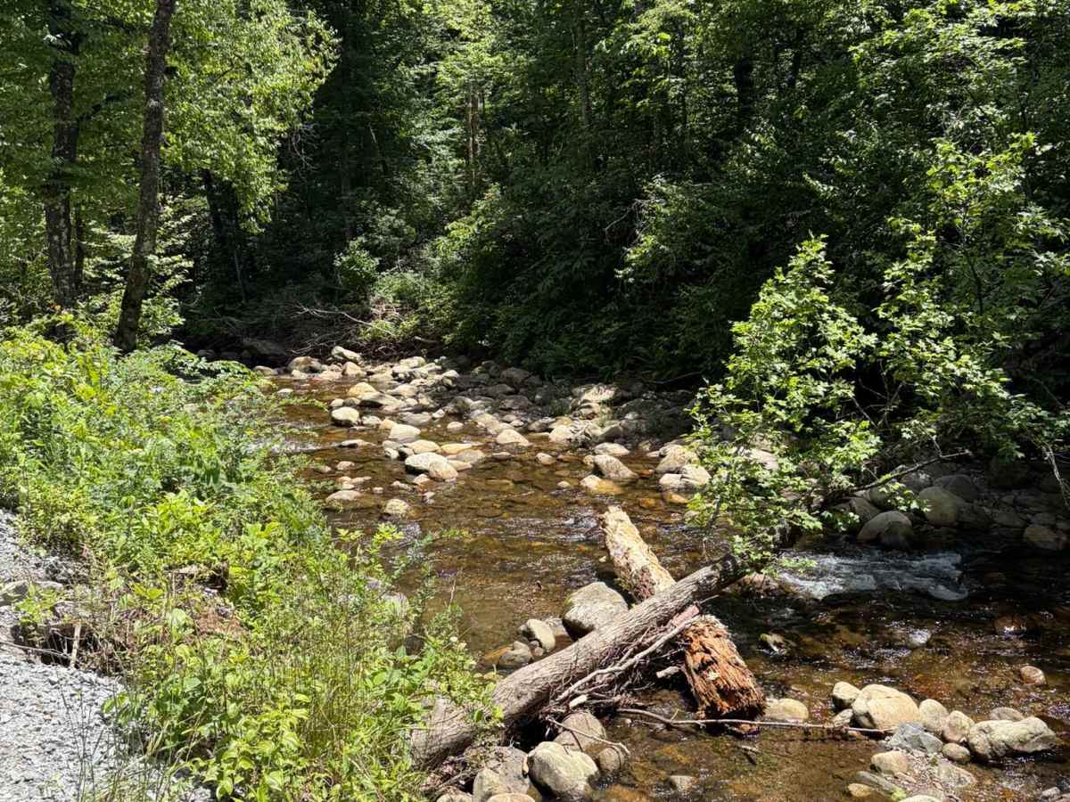
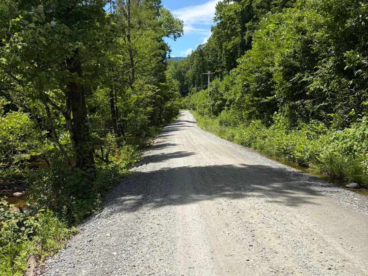
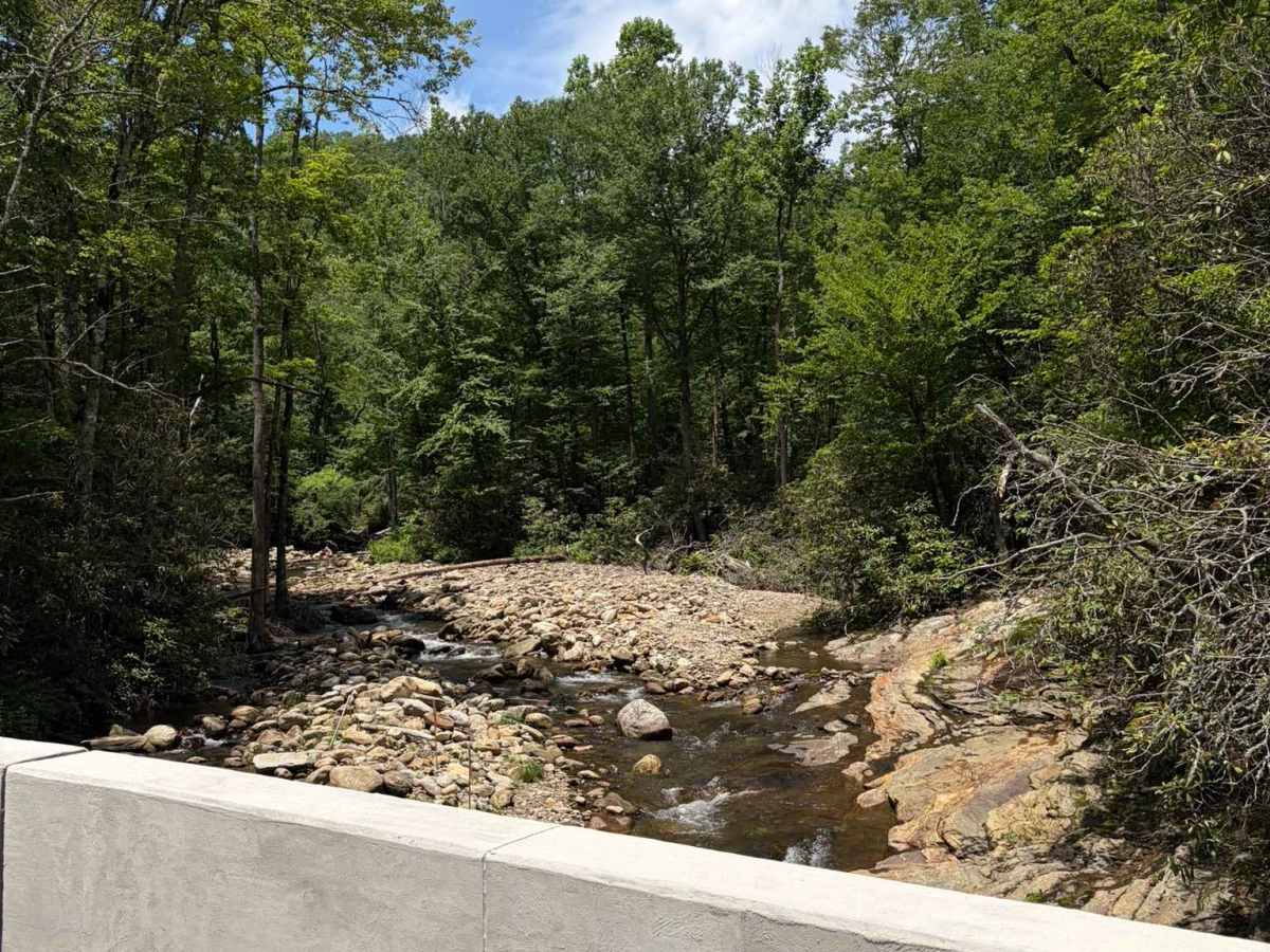
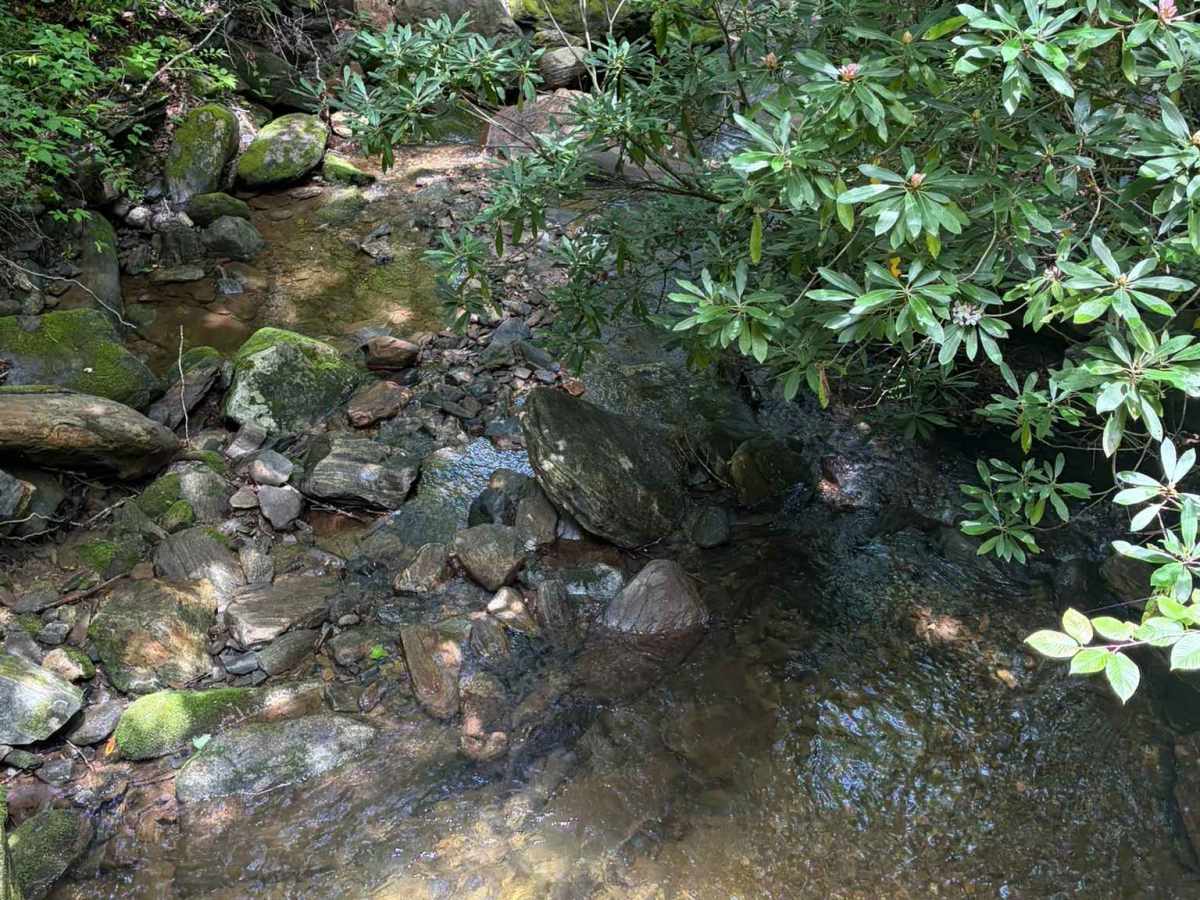
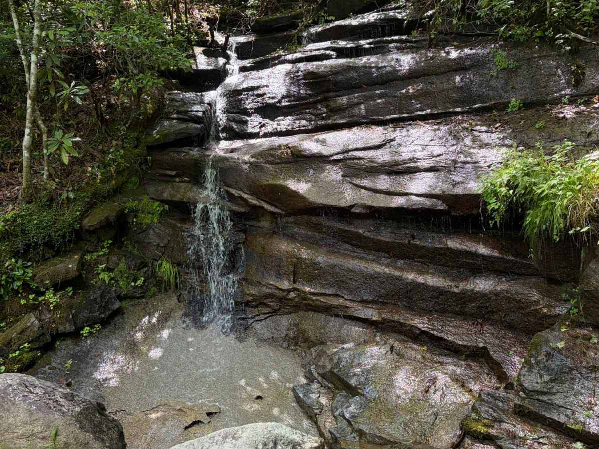
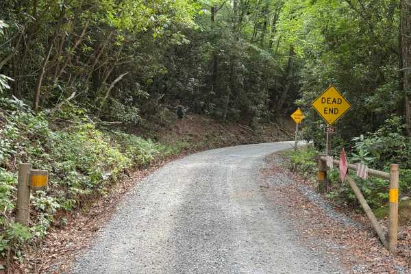
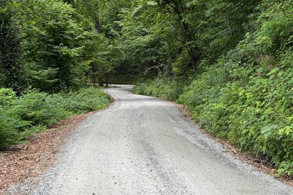
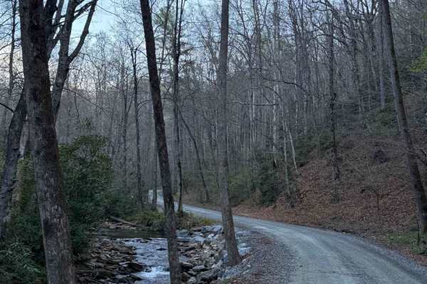
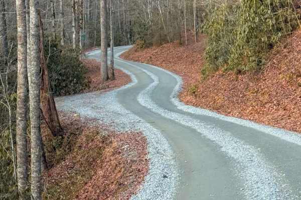
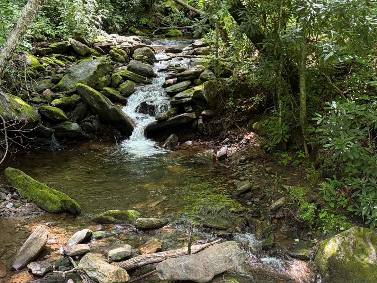
Davidson River Road is a well-maintained Forest Service road that travels through a portion of the Pisgah National Forest. The road runs adjacent to the Davidson River. There are several waterfalls visible from the trail and access points for the river. Several trailheads offer parking along the trail as well. The road is well maintained and passes through heavily forested terrain, offering an easy drive with a smooth surface and few obstacles from end to end. The route provides a peaceful forest drive with straightforward travel for highway-legal vehicles under normal conditions. Camping is prohibited within 1,000 feet of the road, helping preserve the corridor while maintaining access through this section of the National Forest. With its wide road, consistent maintenance, and uncomplicated terrain, Davidson River FSR475 serves as a reliable forest connector suitable for a relaxed drive. Access is restricted to highway-legal vehicles only.

Photos of Davidson River Road - FS 475

Difficulty

Well-maintained gravel road, but you may experience difficulties during inclement weather.

Technical Rating

1

Status Reports

Add Status Report
Del smith
Jul 31, 2026
1998 Toyota Tacoma
Open
Dusty
No road side camping allowed on this rd either per Ranger Station at the entrance of pisgah national forest . Wish on X off-road would take the yellow off the road .

Davidson River Road - FS 475 Trail can be accessed by the following ride types:

  • High Clearance
  • Full Width

Davidson River Road - FS 475 Map

The onX Offroad Difference

onX Offroad combines trail photos, descriptions, difficulty ratings, width restrictions, seasonality, and more in a user-friendly interface. Available on all devices, with offline access and full compatibility with CarPlay and Android Auto. Discover what you're missing today!

Open Trail Map