South Carolina Adventure Route Segment 4

Total Miles 214.5
Technical Rating
3 Easy
Best Time Spring, Summer, Fall, Winter
Trail Type Full-Width Road
Accessible By
Open Trail Map

Trail Overview

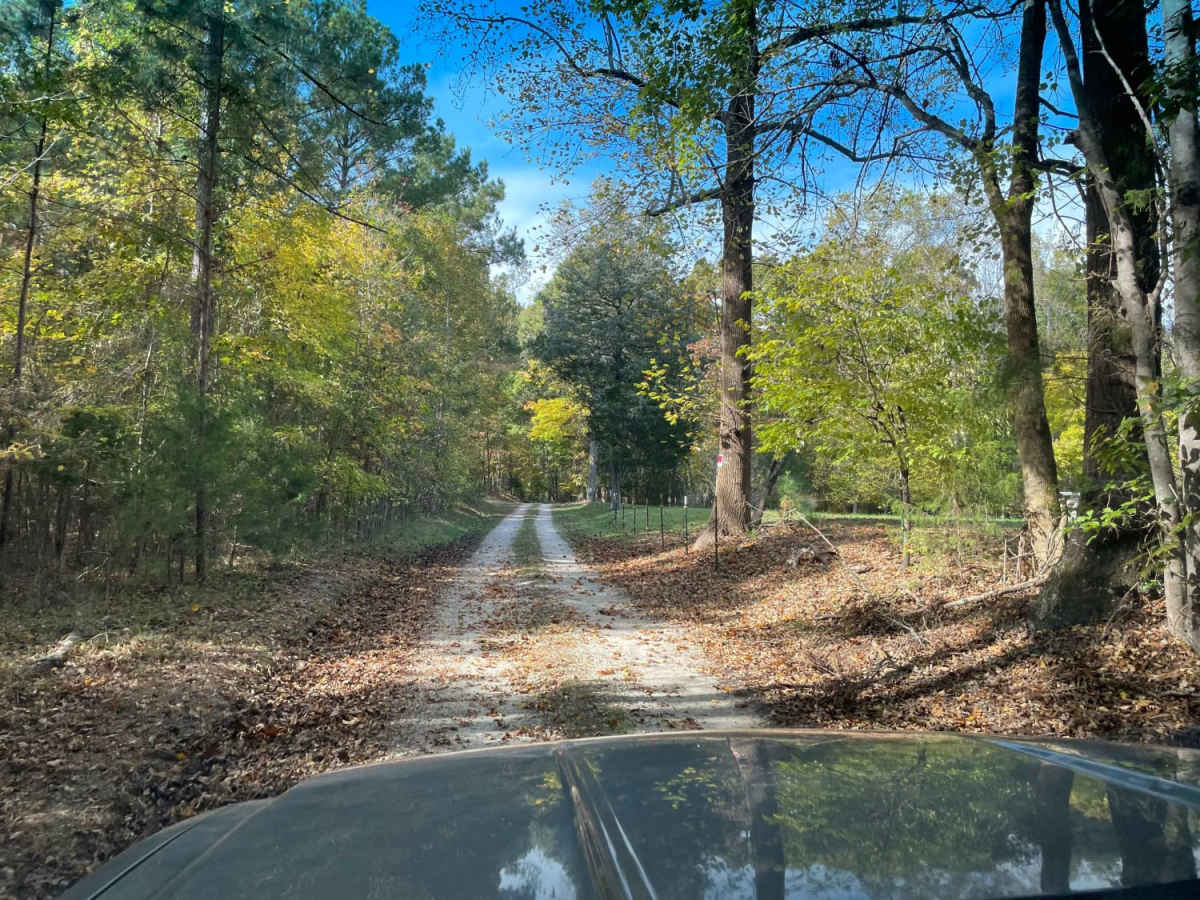
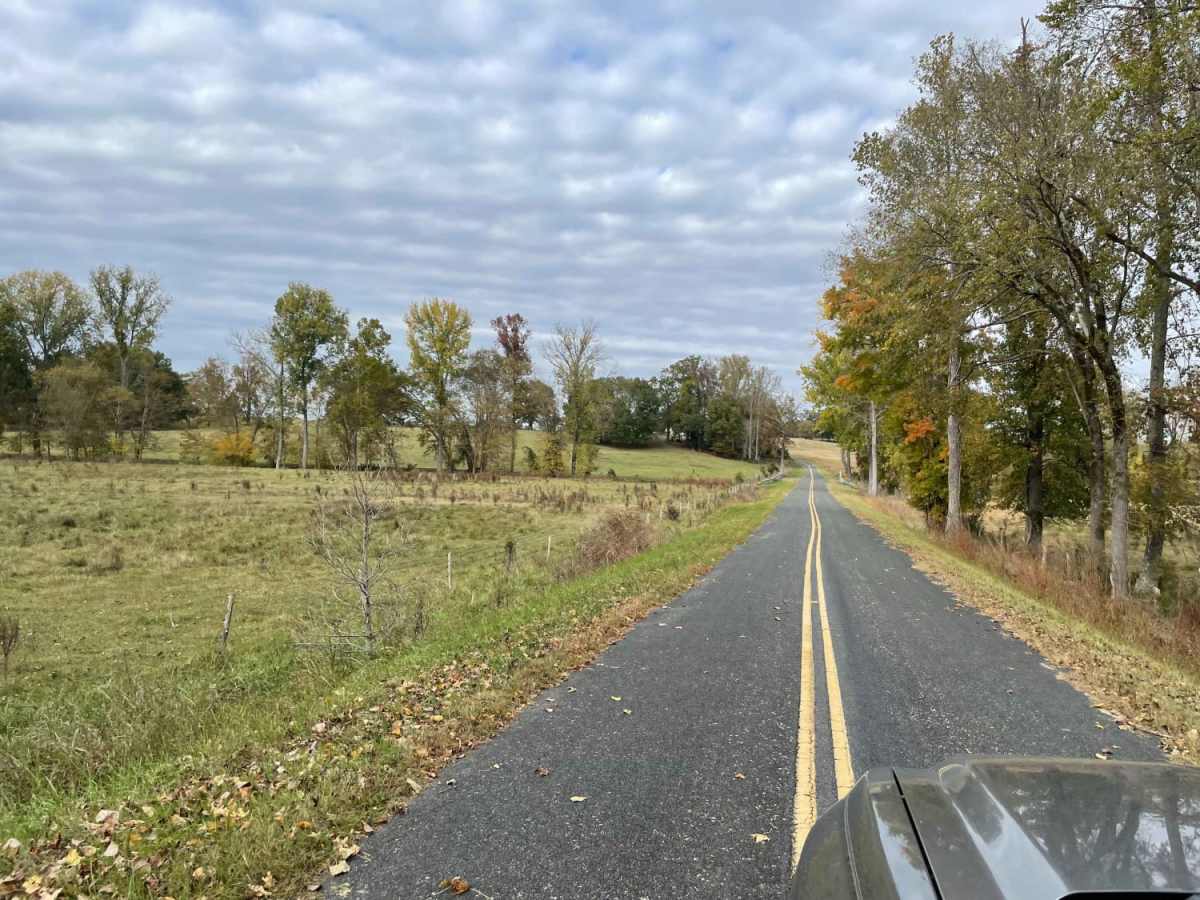
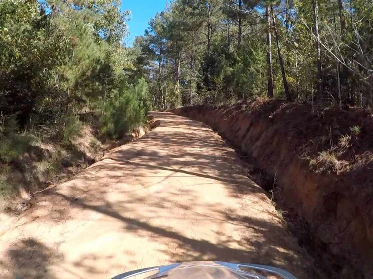
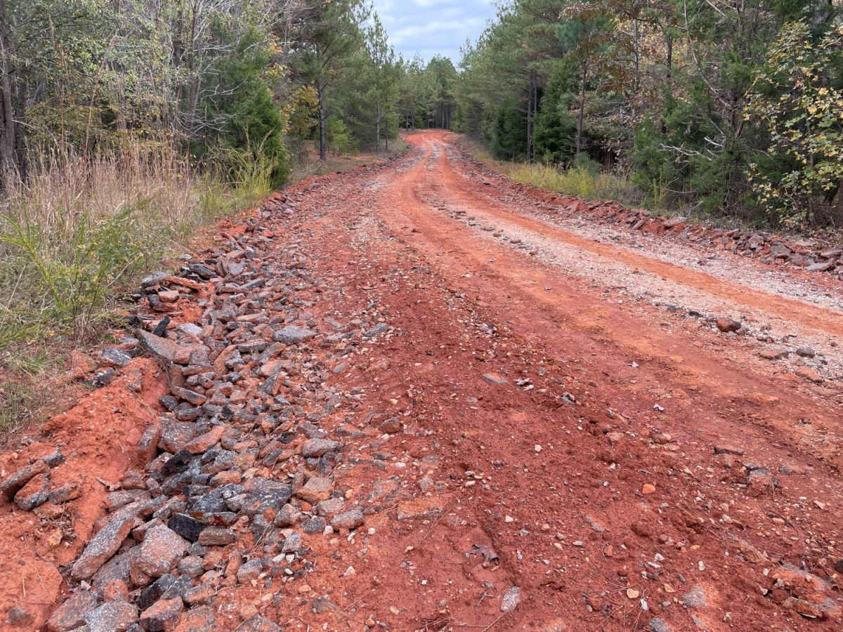
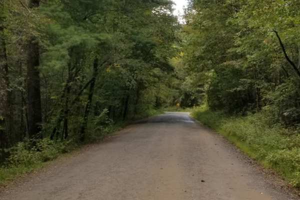
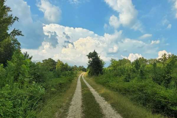
Segment 4 transits the "midlands" section of South Carolina, with the towns of Gaffney and Camden on each end. This section is mostly forested and contains a mixture of pavement, gravel, and clay roads. The clay can become quite slick and rutted when wet, and the ruts can hold their form when dry, so use caution, especially if on a motorcycle. During and after rainstorms you may encounter a small water crossing or two, so beware of low-lying roads and creeks. Notable sights include Kings Mountain National Military Park (and State Park), the dam at Great Falls, and the Battle of Camden National Historic Landmark. ATTENTION: This trail is prone to damage during wet conditions which could lead to closure. Please avoid traveling this route when mud and standing water are present. If you must traverse it, make sure to air down to improve flotation and drive with care to avoid creating ruts and damaging the surroundings. About the SCAR: The South Carolina Adventure Route loops through approximately 1,000 miles of rural South Carolina. Along this route, you'll enjoy the Blue Ridge Mountains, the Atlantic Ocean, diverse forests, cotton fields, state parks, historical sites, and quaint towns. The SCAR also connects to the Smokey Mountains 500, the Georgia Traverse, and the Trans-America Trail (TAT), providing riders on those trails with a scenic route to the Atlantic coast at Edisto Beach. The roads along the SCAR are a mix of pavement and dirt, 60% and 40% respectively, with the surface alternating between gravel, dirt, clay, and sand. The route is not exceptionally technical, but dry conditions can leave the sandy roads loose, while wet conditions can leave the mud and clay roads slick and rutted. Travelers should expect to encounter deep sand and sizable mud holes in the worst conditions.

Photos of South Carolina Adventure Route Segment 4

Difficulty

The clay can become quite slick and rutted when wet, and the ruts can hold their form when dry, so use caution, especially if on a motorcycle. During and after rainstorms you may also encounter a small water crossing or two, so beware of low-lying roads and creeks.

Technical Rating

3

Status Reports

Add Status Report
Otniel Menendez
Nov 23, 2025
Open
Trail was good, some questionable areas with no trespassing signs up. Other than that, the views are incredible.
O A
Nov 04, 2025
Open
Leg from the Gaffney area to Sumter National Forest is clear, with good road conditions and no obstructions. Saw some wild turkeys and its a good mix of pavement and trails, nothing serious with great leaf colors.
uno one
Oct 12, 2025
Open
Grant Kester
Aug 15, 2025
Open
Bob Beard
Jul 01, 2025
Open
Bridge temporarily closed on Possum Branch Rd.
Christa arroyo
May 26, 2025
Open
Matt Brown
Mar 09, 2025
Open
Motorcycles going north should be careful on Rocky Creek Rd!!! Close to the beginning there is a washed out rut in the right tire track that is 18+” deep and is on the back side of a blind hill and hard to see. Stay left here to avoid and proceed with caution.
Isaac Yoder
Feb 17, 2025
Open
Joe Steinberger
Aug 10, 2024
Open
Gravel road with two puddles of moving water. Not very exciting.
Rhys Wiggs
Feb 17, 2024
Open
The bridge on Little Hope Road over Blackrock Branch is closed and has dirt mounds blocking the road on both ends. Recommend continuing on Hwy 29 and not taking Little Hope.
Robert Lassiter
Feb 17, 2024
Open
Bridge out on a paved portion of the South Carolina Adventure Route in Chester County. You will need to find a detour.
Cholo Castillo
Aug 29, 2023
Open
Cholo Castillo
Aug 24, 2023
Open
xander dowd
Jul 02, 2023
Open

South Carolina Adventure Route Segment 4 Trail can be accessed by the following ride types:

  • High Clearance
  • Full Width

South Carolina Adventure Route Segment 4 Map

The onX Offroad Difference

onX Offroad combines trail photos, descriptions, difficulty ratings, width restrictions, seasonality, and more in a user-friendly interface. Available on all devices, with offline access and full compatibility with CarPlay and Android Auto. Discover what you're missing today!

Open Trail Map