
Beginner Off-Road Trails
Near Fort Frances, Ontario
Explore All Beginner Trails Near Fort Frances, Ontario
Beginner Off-Road Trails Near Fort Frances, Ontario
Discover the best beginner-friendly off-road trails near you. These easier, lower-rated trails are a great place to start — browse trail maps, check difficulty ratings, and find your next adventure.
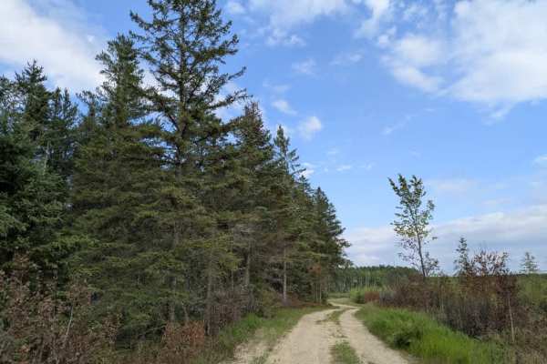
Galvin Road
This scenic trail follows a single-vehicle-width gravel surface that is generally smooth and well-maintained, though there are some potholes in places. It winds through a forested landscape with gentle elevation changes, offering a quiet and pleasant drive through the woods. Along the way, the trail...
Learn more about Galvin Road
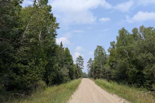
Haney Road
This trail is notably long and begins as a wide, level route designated for long-haul truck use. It winds through forested areas with relatively minimal elevation change, making for a straightforward drive in terms of gradient. Along the way, several side trails branch off from the main route, thoug...
Learn more about Haney Road
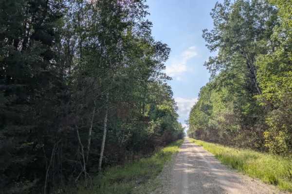
Gallagher Road
This scenic trail is a single-vehicle-width gravel route that is generally well-maintained. It winds through forested terrain with a series of gentle ascents and descents. At the beginning of the trail, there is a fenced industrial landfill, and this section tends to be muddy, particularly after rai...
Learn more about Gallagher Road
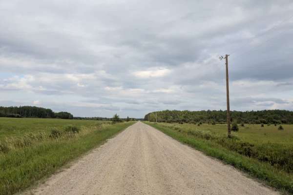
County Road 80
This scenic trail is a single-vehicle-width gravel road that is smooth and generally well-maintained throughout. It begins in an active logging area, where drivers should remain alert for trucks and equipment. The trail features a few minor bumps and passes through forested sections interspersed wit...
Learn more about County Road 80
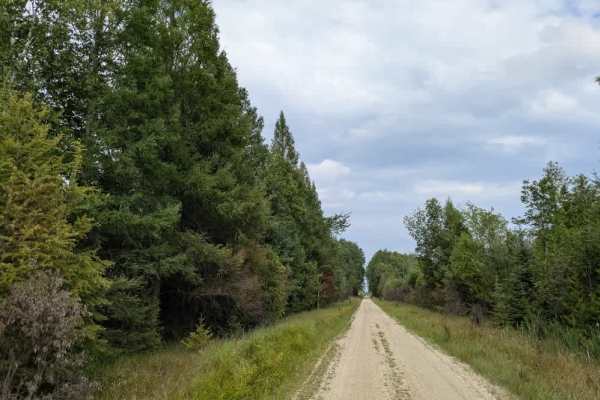
Budris Road
This scenic trail is a single-vehicle-width gravel route that is generally well-maintained and winds through a forested landscape with gentle elevation changes. The surrounding forest is relatively young and visually appealing, and several smaller trails branch off from the main route as it progress...
Learn more about Budris Road
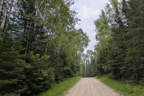
Johnson Farm Road
This trail begins on a well-maintained single-lane gravel surface. There are a few wider sections that allow for easier passing, but the majority of the trail remains narrow. It winds through a forested area with a series of gentle ascents and descents. Closer to the railway crossing, a few residenc...
Learn more about Johnson Farm Road
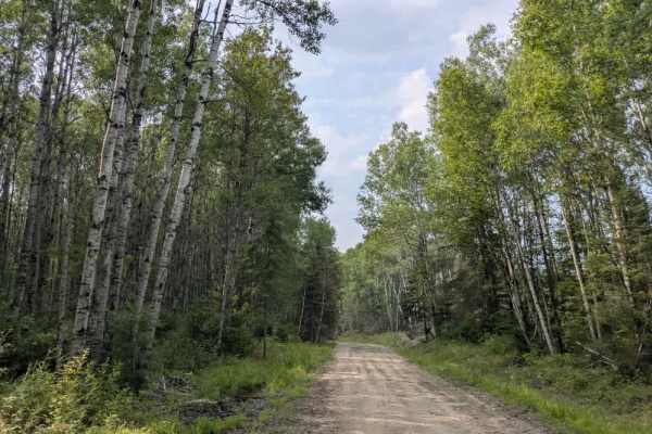
Indian Hill
This mostly scenic trail is composed of rough gravel and exposed rock, with several large potholes throughout. It clearly serves as a logging route and winds through forested terrain with a series of climbs and descents. Along the way, there are multiple clearings, likely remnants of previous loggin...
Learn more about Indian Hill
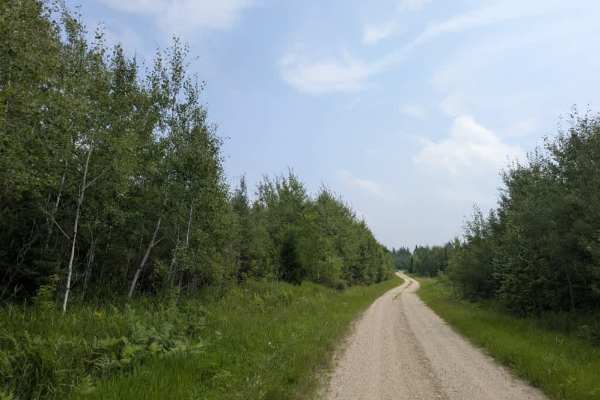
Biondich Road
This mostly scenic trail is accessed from Haney Road and begins as a wide, smooth gravel route that gradually climbs into the forest. As the elevation increases, the trail narrows to a two-track configuration but remains well-maintained and smooth throughout. Numerous clearings appear along the way,...
Learn more about Biondich Road
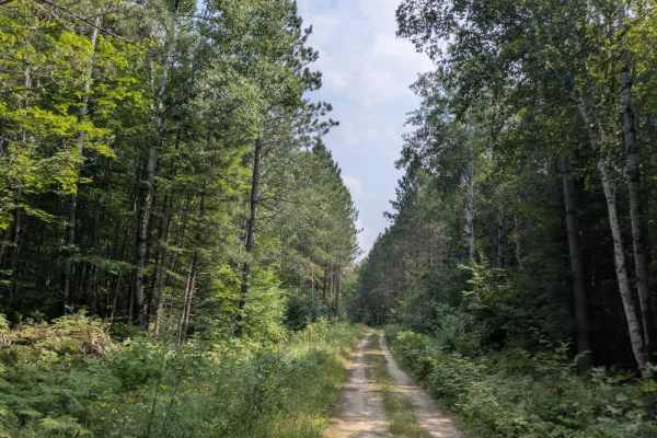
Rat Root Cascade
This mostly scenic trail consists of a mix of gravel and exposed rock, with occasional large potholes that may require careful navigation. It runs alongside marshland and boggy terrain for much of its length, so drivers should proceed with caution, especially after rain or during wetter seasons. The...
Learn more about Rat Root Cascade
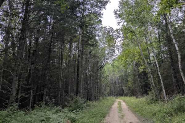
Cutacross Road
This mostly scenic trail is a narrow two-track route that is quite overgrown in places, with vegetation often encroaching on the trail. The route passes through wetlands, where several large puddles cross the trail. Although these water crossings may appear deep, the base is mostly rock, making them...
Learn more about Cutacross Road
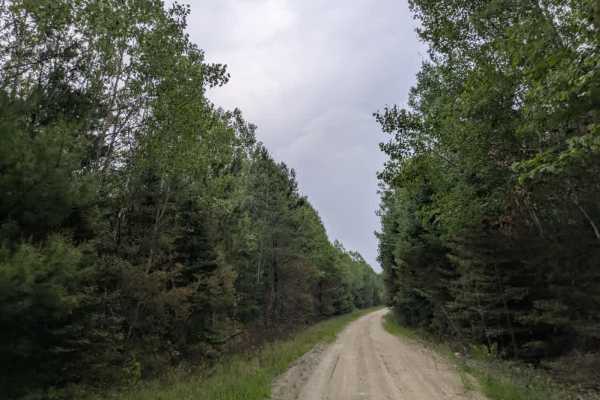
Camp 90 Forest Road
This scenic trail follows a well-maintained gravel surface that includes a few gentle ascents and fewer descents. It crosses a river via a wooden bridge and continues uphill toward the end of the route. While maps may indicate that the trail continues beyond the final hill, in reality, it ends at a ...
Learn more about Camp 90 Forest Road
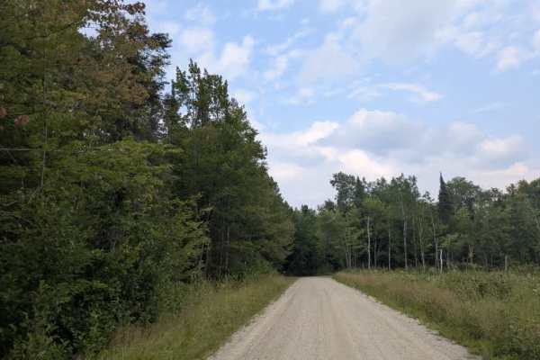
Keys Road
This western part of the trail begins at the railway crossing on Johnson Farm Road and continues through to the paved Highway 53. It is a scenic route consisting of well-maintained gravel that is wide enough to accommodate two vehicles. The trail winds through a forested landscape, featuring several...
Learn more about Keys Road
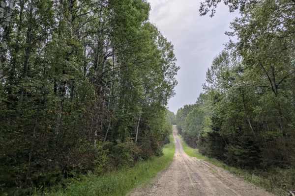
Camp 90 East
This scenic trail gradually climbs a hill, becoming more visually appealing the farther you travel. The forest along the route features a diverse mix of tree species, many of which begin to show fall colors as early as August. The trail surface is mostly well-maintained gravel, though there are some...
Learn more about Camp 90 East
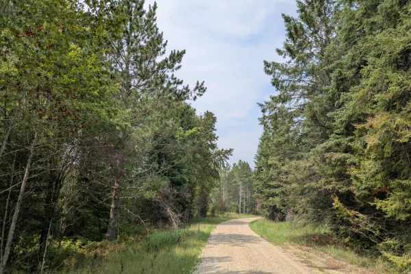
Sheep Ranch Road
This trail is a wide and well-maintained gravel that winds through a forested landscape with a mix of gentle ascents and descents. Along the route, there are signs of industrial use, including a salt storage facility and two quarries—one on the right that appears to be closed behind a gate, and anot...
Learn more about Sheep Ranch Road
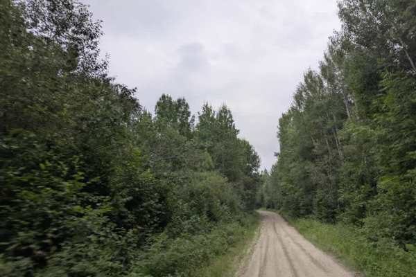
Fawn Creek Road
This scenic trail is accessed from Sheep Ranch Road and follows a well-maintained gravel surface that is generally wide enough for two vehicles. It winds through forested terrain and offers a peaceful drive, although it is a popular route for ATV riders, so caution is recommended. While the trail is...
Learn more about Fawn Creek Road
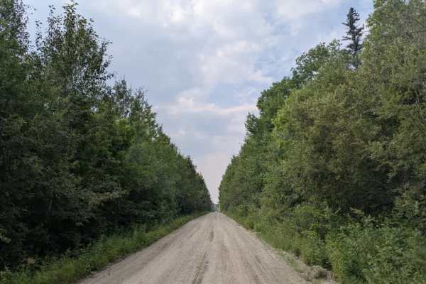
Boise Cascade
This trail follows a wide, maintained gravel road that winds through forested terrain with steep ascents, descents, and several sharp curves that require careful driving. Notably, there are a few residences at the beginning of the trail. The route is open to ATVs and passes through attractive stretc...
Learn more about Boise Cascade
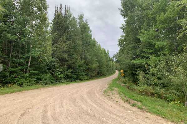
Ninemile - FS 612
Ninemile (FS 612) starts as a typical gravel road before gradually narrowing as the forest closes in around you. Farther along, it becomes a single-lane two-track with vegetation growing through the center. Several spurs along the route connect to other trails, including areas designated for ATV use...
Learn more about Ninemile - FS 612
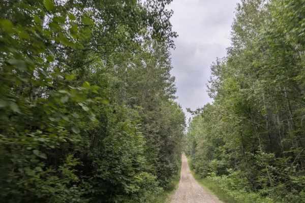
Fawn Creek Spur B
This scenic trail is accessed from Fawn Creek Road, narrowing at the split. From there, the surface becomes bumpier and more uneven, with rocky sections and a series of steep ascents, descents, and tight curves. The terrain requires careful driving, especially after rain or in low-traction condition...
Learn more about Fawn Creek Spur B
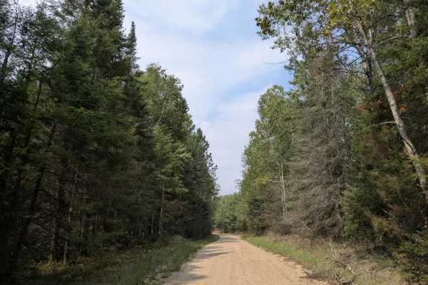
Ash Lake Road
This trail begins at a paved road (eastern side) and immediately crosses a set of railway tracks before continuing as a wide, well-maintained gravel route. It winds through forested terrain and passes several side trails and private residences. As of August 2025, an open gate marks a transition poin...
Learn more about Ash Lake Road
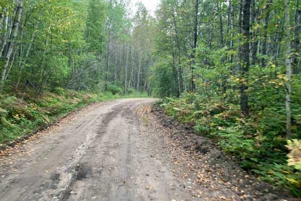
FR 612A
FR 612A starts as a typical gravel road before transitioning into a mix of mud and sand. Along the way, you'll encounter washouts and mud holes that can hold water, adding some challenge depending on recent weather. There are also several dispersed camping areas along the route, providing good optio...
Learn more about FR 612A
Beginner ATV trails near Fort Frances, Ontario
Explore ATV-friendly trails near you. These trails are accessible for vehicles up to 50 inches wide, perfect for ATVs and smaller off-road machines.
Budris Road
This scenic trail is a single-vehicle-width gravel route that is generally well-maintained and winds through a forested landscape with gentle elevation changes. The surrounding forest is relatively young and visually appealing, and several smaller trails branch off from the main route as it progress...
Learn more about Budris Road
Indian Hill
This mostly scenic trail is composed of rough gravel and exposed rock, with several large potholes throughout. It clearly serves as a logging route and winds through forested terrain with a series of climbs and descents. Along the way, there are multiple clearings, likely remnants of previous loggin...
Learn more about Indian Hill
Biondich Road
This mostly scenic trail is accessed from Haney Road and begins as a wide, smooth gravel route that gradually climbs into the forest. As the elevation increases, the trail narrows to a two-track configuration but remains well-maintained and smooth throughout. Numerous clearings appear along the way,...
Learn more about Biondich Road
Rat Root Cascade
This mostly scenic trail consists of a mix of gravel and exposed rock, with occasional large potholes that may require careful navigation. It runs alongside marshland and boggy terrain for much of its length, so drivers should proceed with caution, especially after rain or during wetter seasons. The...
Learn more about Rat Root Cascade
Beginner UTV/side-by-side trails near Fort Frances, Ontario
Find UTV and side-by-side trails near you. These trails accommodate vehicles up to 60 inches wide, ideal for UTVs, side-by-sides, and wider off-road rigs.
Budris Road
This scenic trail is a single-vehicle-width gravel route that is generally well-maintained and winds through a forested landscape with gentle elevation changes. The surrounding forest is relatively young and visually appealing, and several smaller trails branch off from the main route as it progress...
Learn more about Budris Road
Indian Hill
This mostly scenic trail is composed of rough gravel and exposed rock, with several large potholes throughout. It clearly serves as a logging route and winds through forested terrain with a series of climbs and descents. Along the way, there are multiple clearings, likely remnants of previous loggin...
Learn more about Indian Hill
Biondich Road
This mostly scenic trail is accessed from Haney Road and begins as a wide, smooth gravel route that gradually climbs into the forest. As the elevation increases, the trail narrows to a two-track configuration but remains well-maintained and smooth throughout. Numerous clearings appear along the way,...
Learn more about Biondich Road
Rat Root Cascade
This mostly scenic trail consists of a mix of gravel and exposed rock, with occasional large potholes that may require careful navigation. It runs alongside marshland and boggy terrain for much of its length, so drivers should proceed with caution, especially after rain or during wetter seasons. The...
Learn more about Rat Root Cascade
The onX Offroad Difference
onX Offroad combines trail photos, descriptions, difficulty ratings, width restrictions, seasonality, and more in a user-friendly interface. Available on all devices, with offline access and full compatibility with CarPlay and Android Auto. Discover what you're missing today!
Open Trail Map