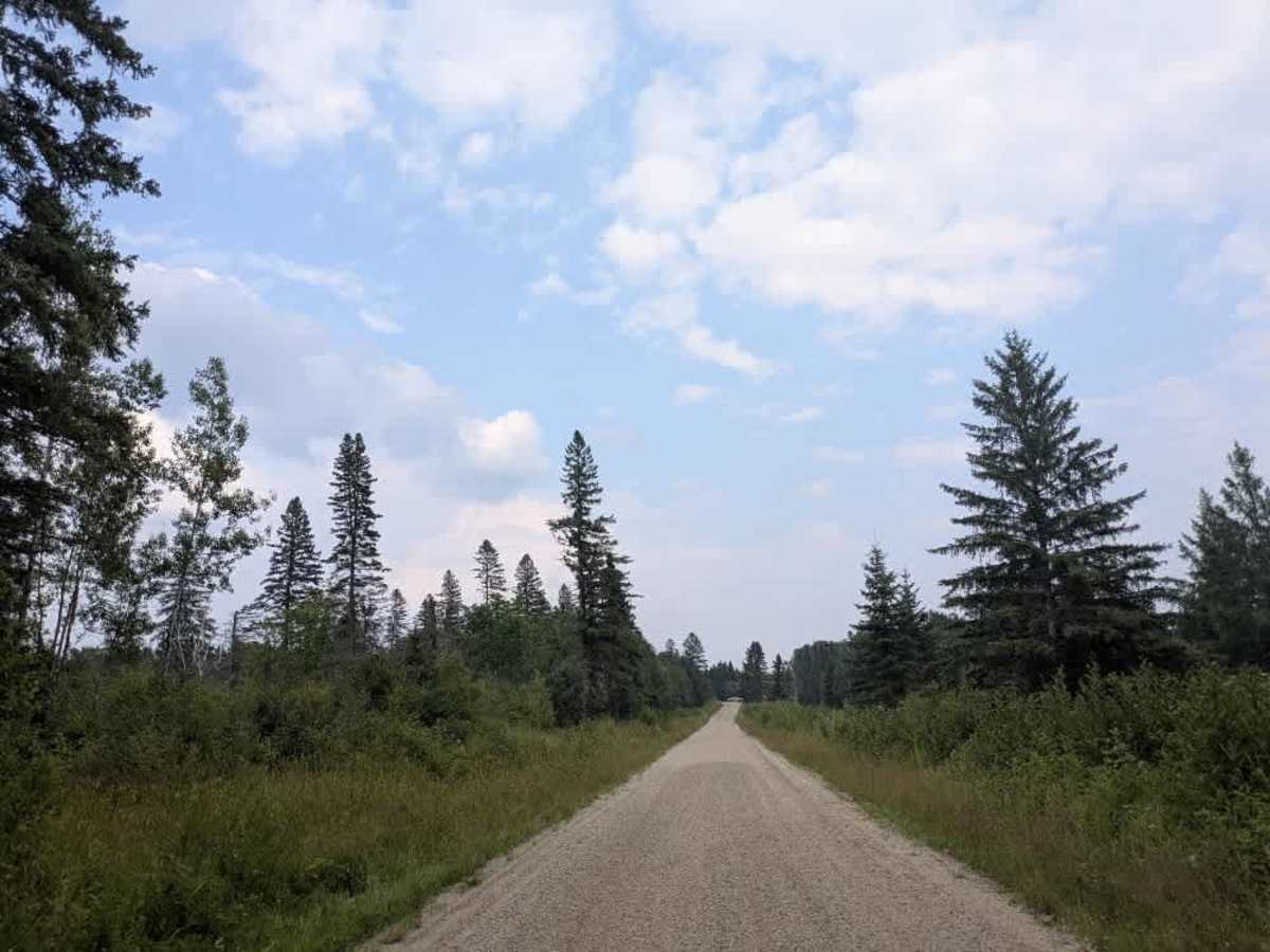
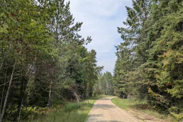
Trail Overview
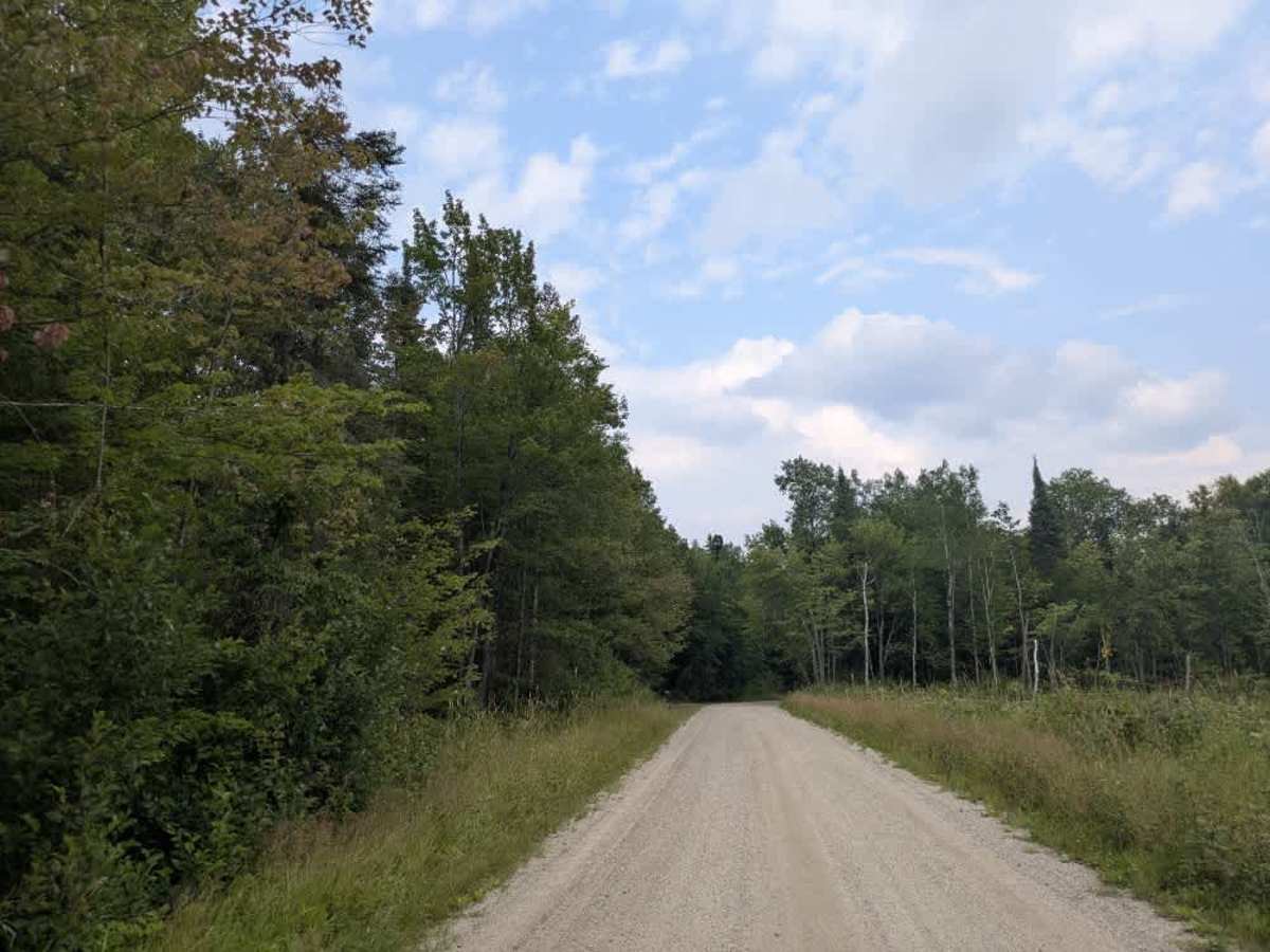
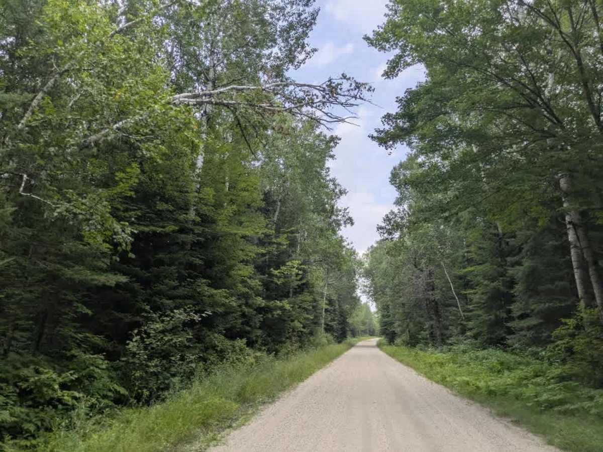
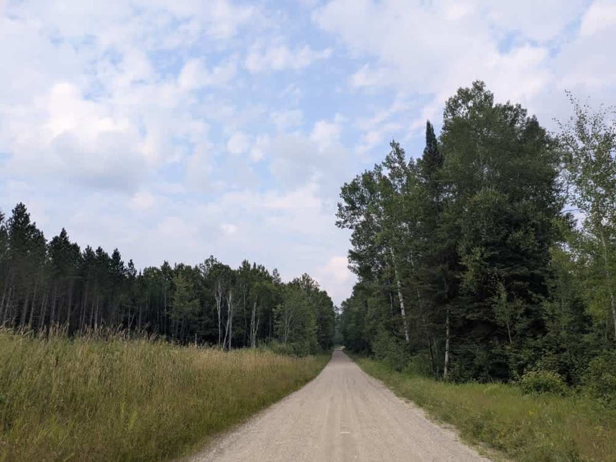
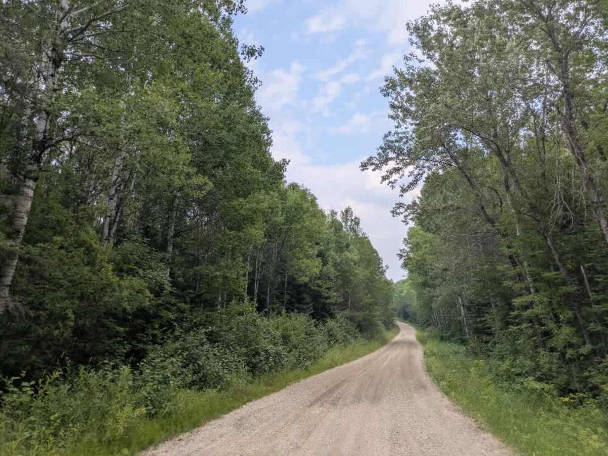
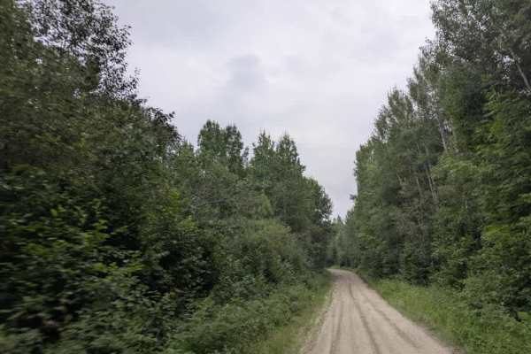
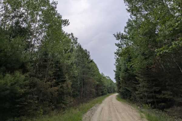
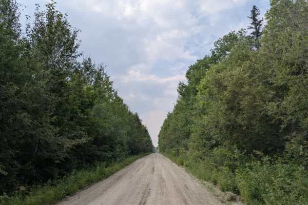
This western part of the trail begins at the railway crossing on Johnson Farm Road and continues through to the paved Highway 53. It is a scenic route consisting of well-maintained gravel that is wide enough to accommodate two vehicles. The trail winds through a forested landscape, featuring several sharp curves and mild elevation changes. Several private residences are located along the route, and the trail also passes by two quarry pits. In addition to these, a number of smaller trails branch off from the main track, though many are unmarked. As of August 2025, fresh gravel has been laid along much of the route. In some sections, the new gravel is deep and may feel loose or slippery under tires, particularly during or after wet conditions. Drivers should proceed with caution in these areas. There are no formal or dispersed campsites along the trail, and it does not offer amenities such as trash disposal or potable water. Cell coverage may be unreliable in some stretches.
Difficulty
The trail is maintained but can develop light overgrowth between trims, especially in the summer months. Commonly used by local OHV traffic, the path remains visible and passable, though branches and low brush may occasionally encroach.