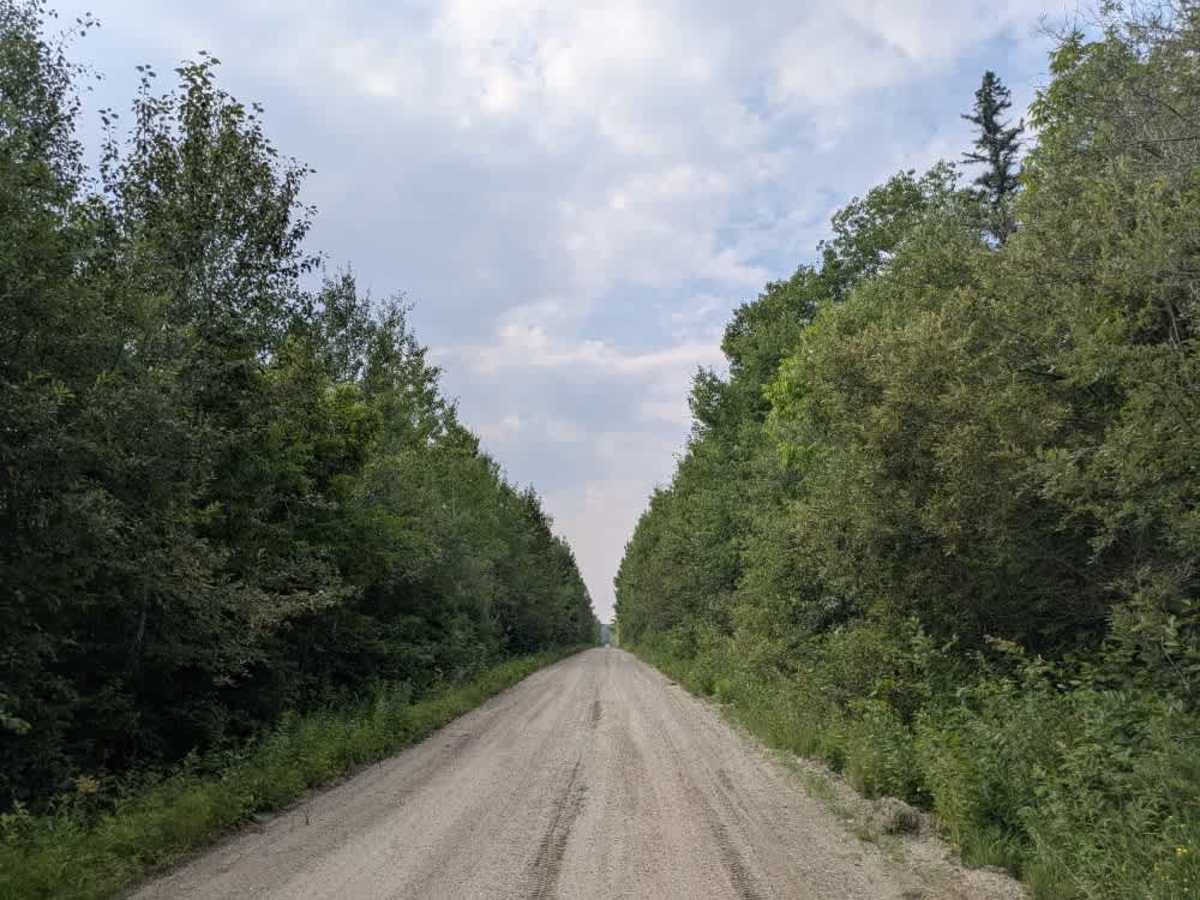
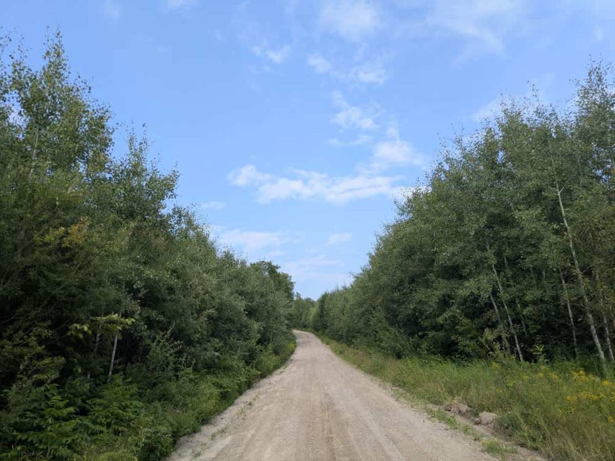
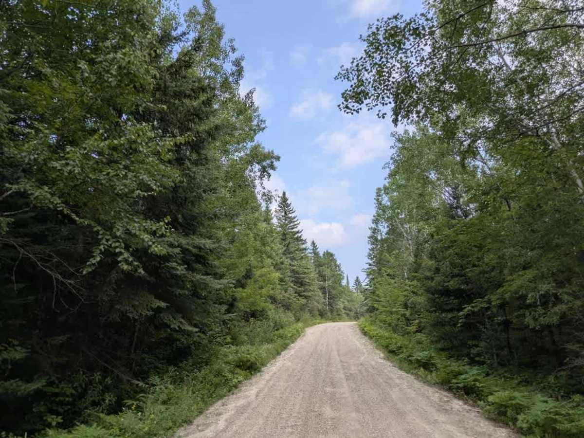
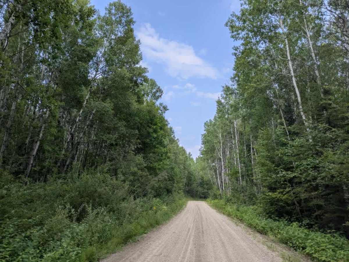
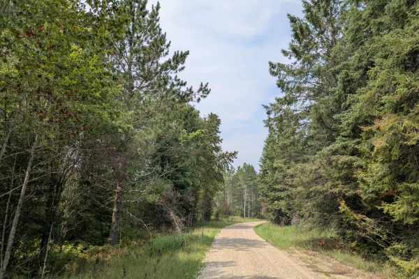
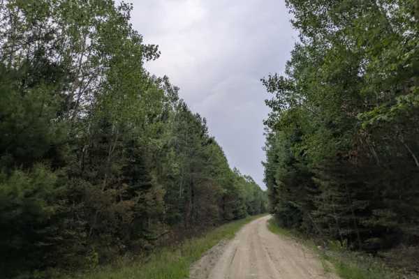
Trail Overview
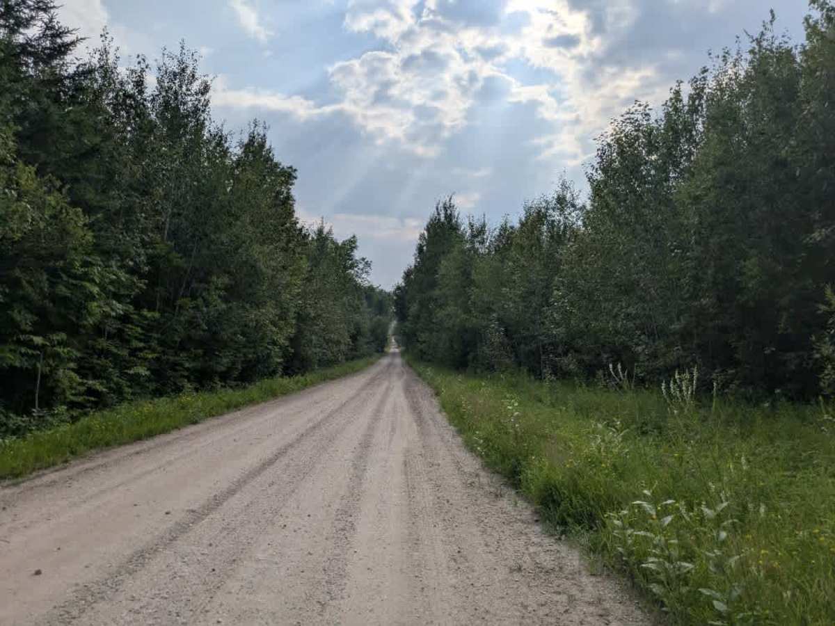
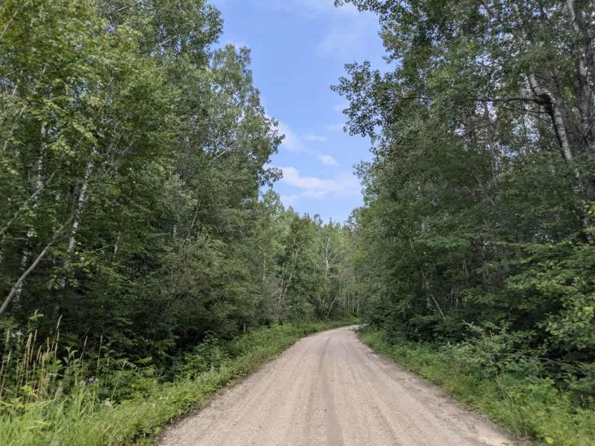
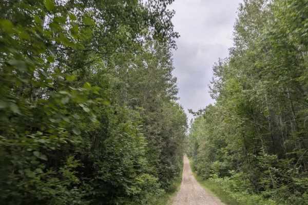
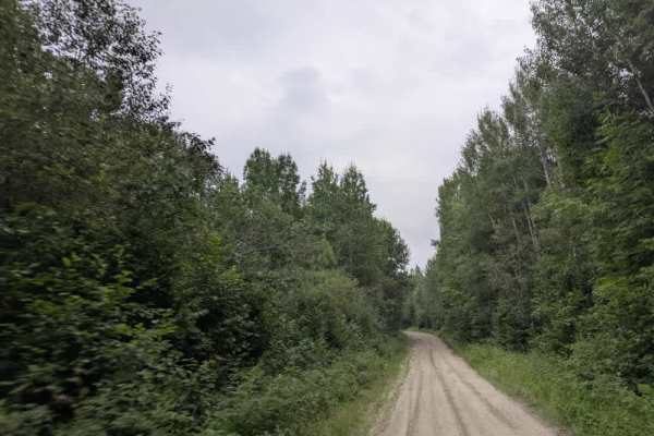
This trail follows a wide, maintained gravel road that winds through forested terrain with steep ascents, descents, and several sharp curves that require careful driving. Notably, there are a few residences at the beginning of the trail. The route is open to ATVs and passes through attractive stretches of forest that feature seasonal wildflowers. A number of smaller trails, including designated ATV routes, branch off from the main track. There is also a large clearing partway along the trail that may be suitable for dispersed camping, although no formal campsite is established there. The trail eventually comes to a dead end at a private road, with no further public access beyond that point. While the route is generally well maintained, it offers no formal camping facilities and lacks basic services such as trash disposal or a water source. Cell service may be intermittent or unavailable in this area, so visitors should plan accordingly and be self-sufficient during their time on the trail.
Difficulty
This forest trail is well-maintained and used by adventurers. The route is wide and clear of debris, with established tread and minimal overgrowth, making it ideal for a smooth and scenic drive.