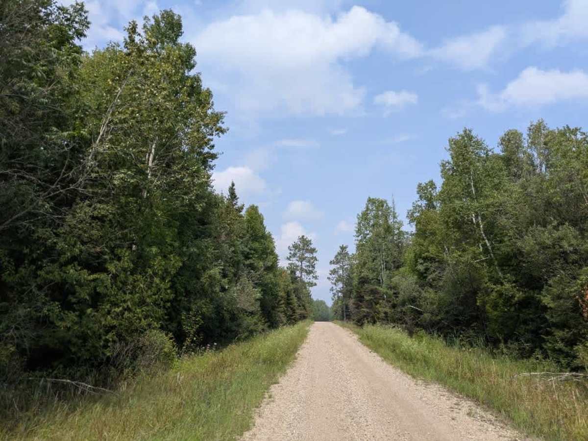
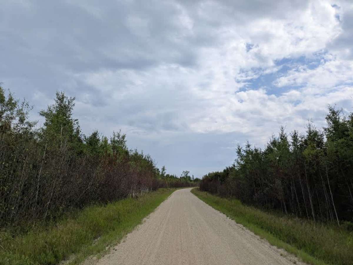
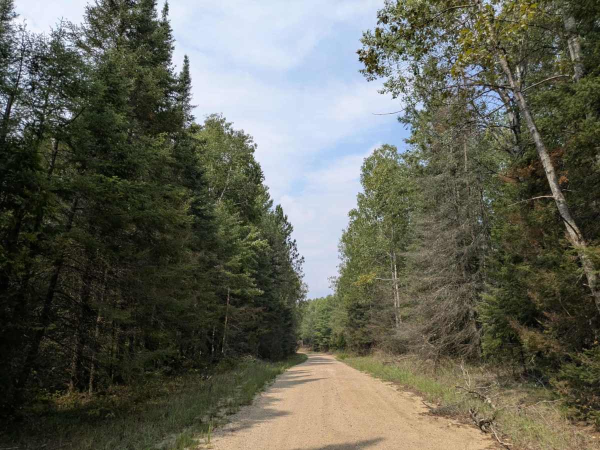
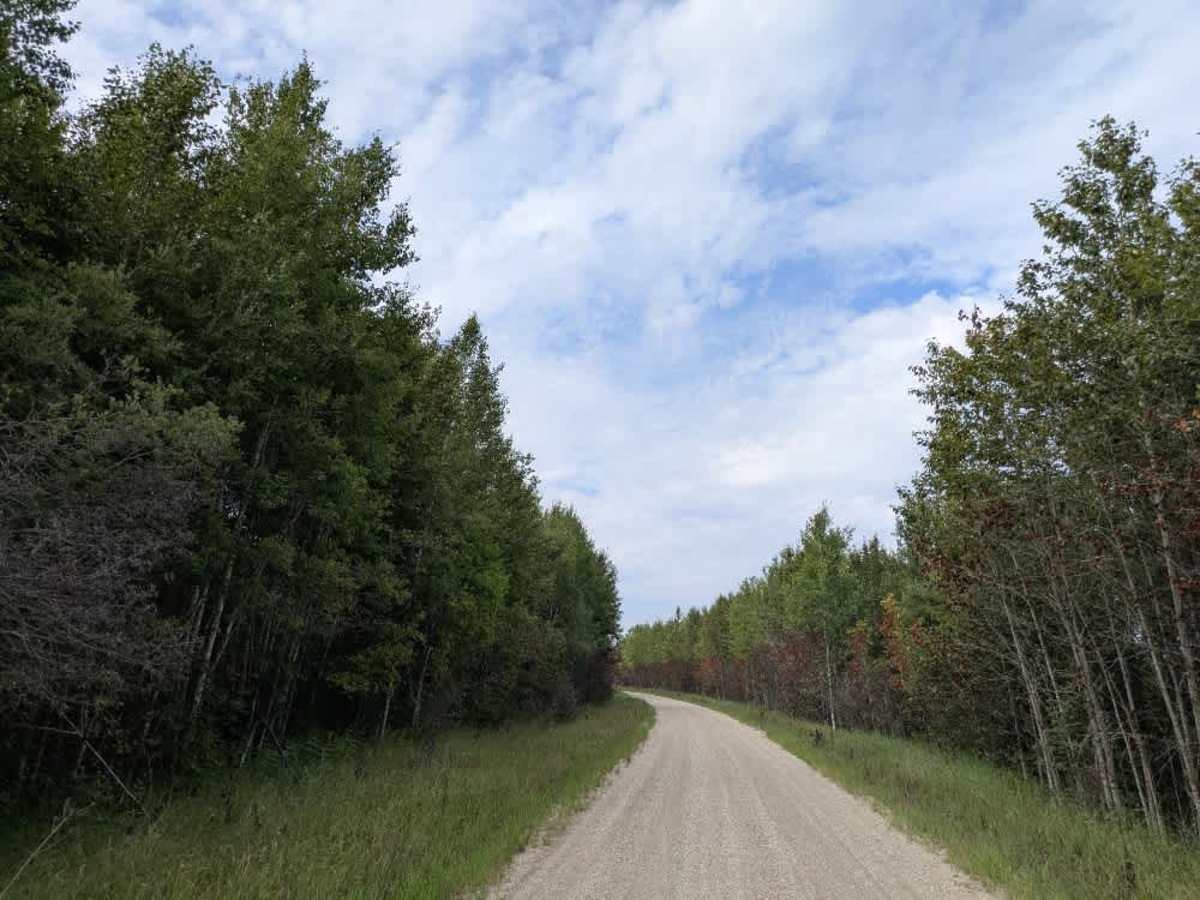
Trail Overview
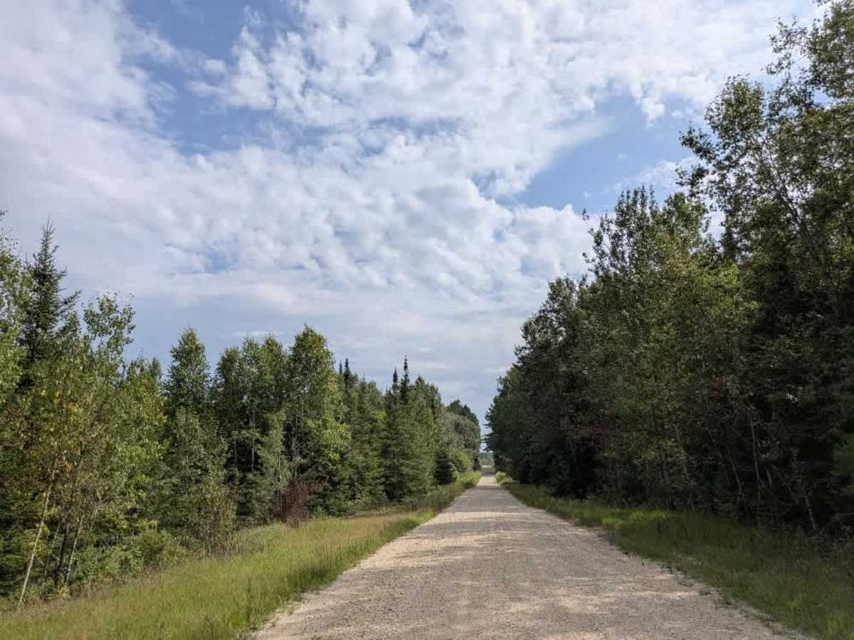
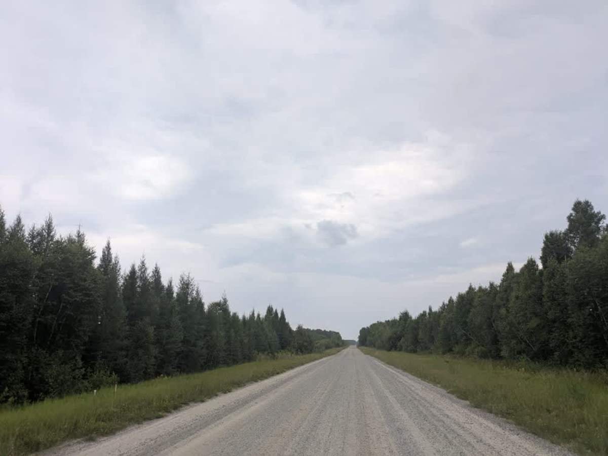
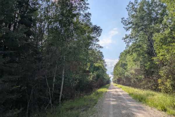
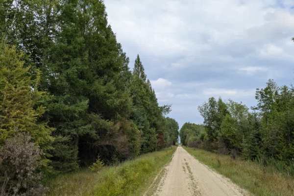
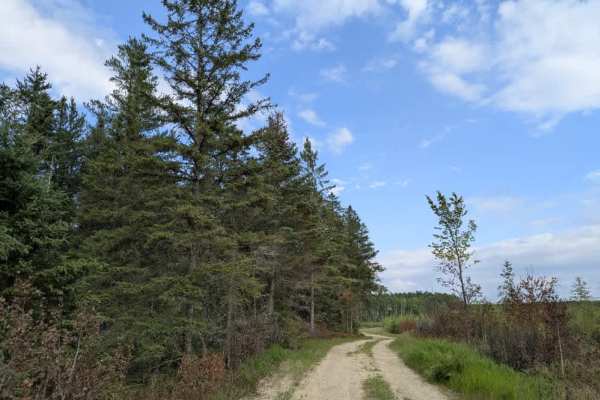
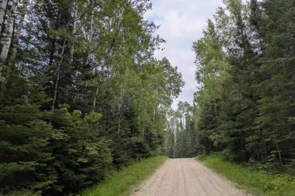
This trail is notably long and begins as a wide, level route designated for long-haul truck use. It winds through forested areas with relatively minimal elevation change, making for a straightforward drive in terms of gradient. Along the way, several side trails branch off from the main route, though many are unnamed and may be overgrown. Others are better maintained and easier to follow. The trail crosses a small river known as Beaver Creek, where we happened to spot a beaver during our visit. Logging operations are present along sections of the trail, and it’s not uncommon to encounter machinery or equipment parked nearby. Interestingly, despite its industrial use, the trail also appears to attract many cyclists. At a certain point, the route transitions onto North Ash Road. Before the transition, the trail narrows significantly, and although the surface remains smooth gravel, the terrain becomes more enclosed by vegetation. Large wet bogs begin to appear beside the trail, and some may extend partially onto the roadway in wetter conditions. The trail does not offer any formal camping areas and lacks basic services such as trash disposal or access to potable water. Cell phone coverage may be limited or unreliable throughout much of the route.
Difficulty
The trail is maintained but can develop light overgrowth between trims, especially in the summer months. Commonly used by local OHV traffic, the path remains visible and passable, though branches and low brush may occasionally encroach. Towards the end of the trail, it becomes overgrown and narrower.