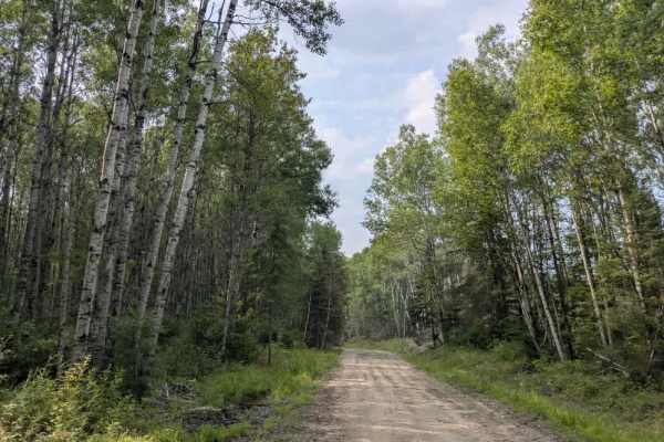
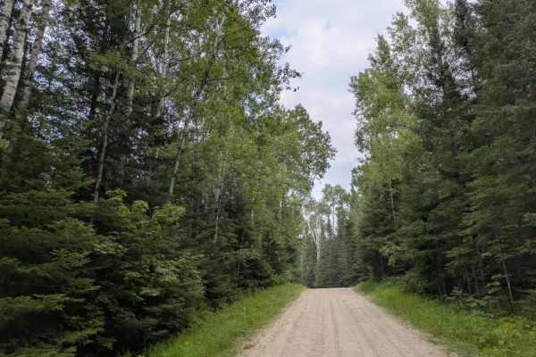
Trail Overview
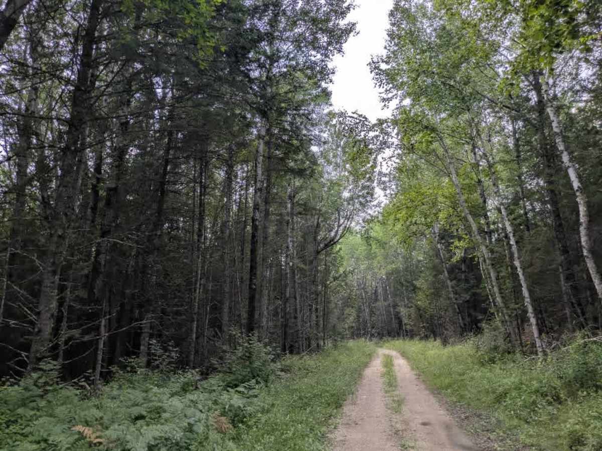
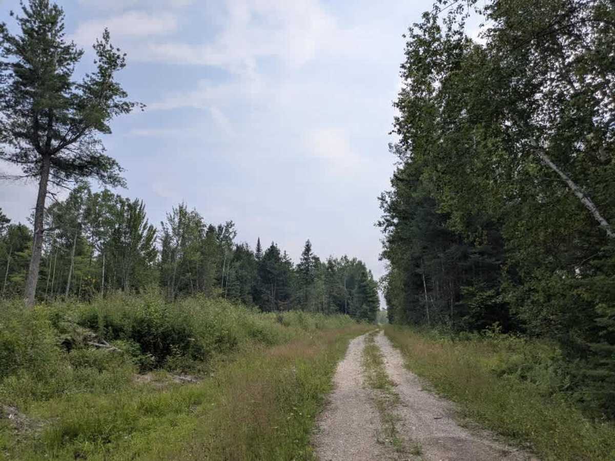
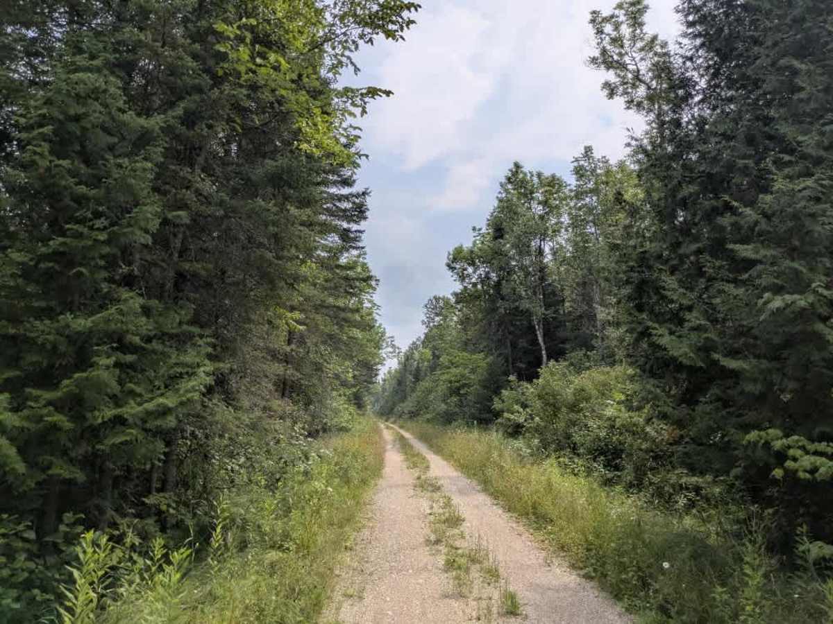
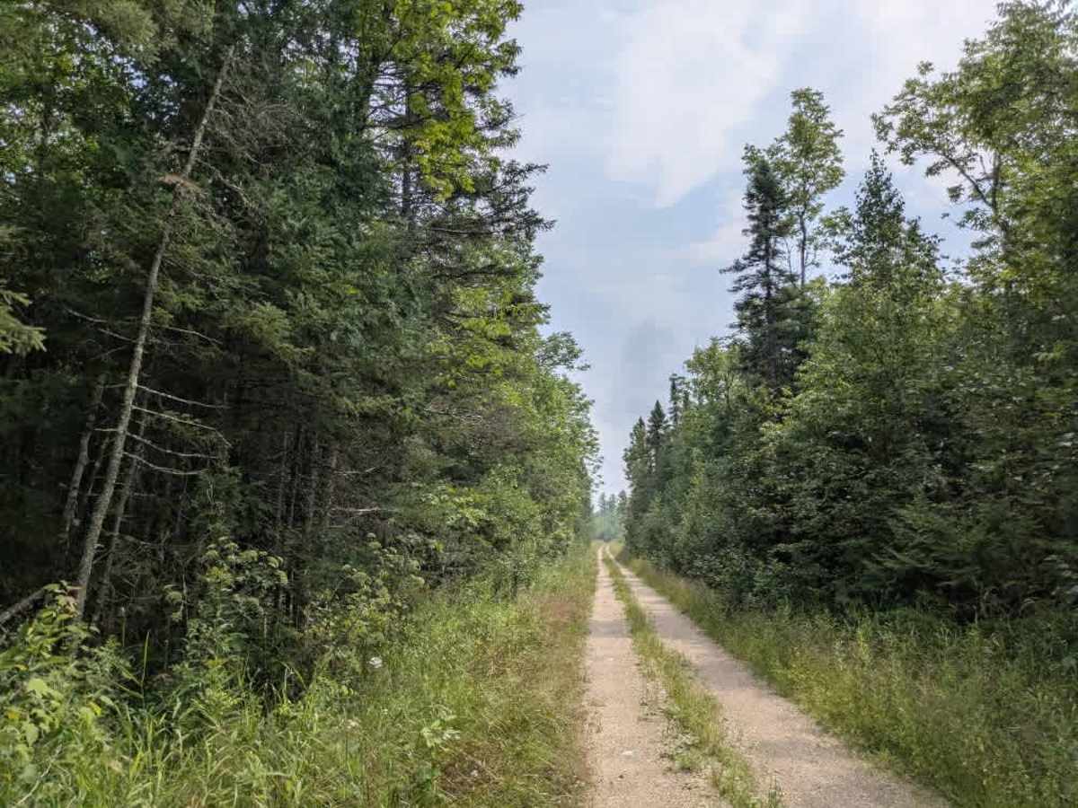
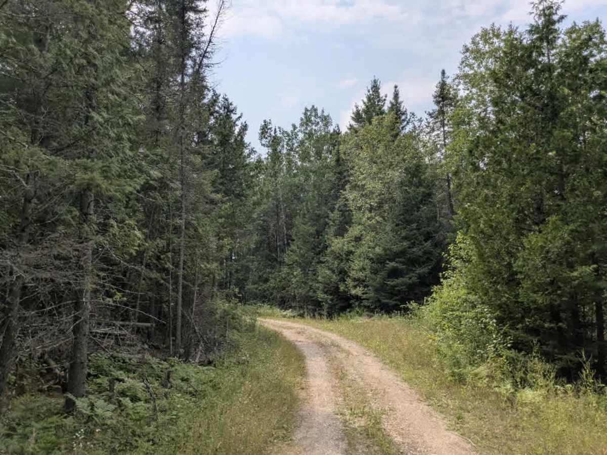
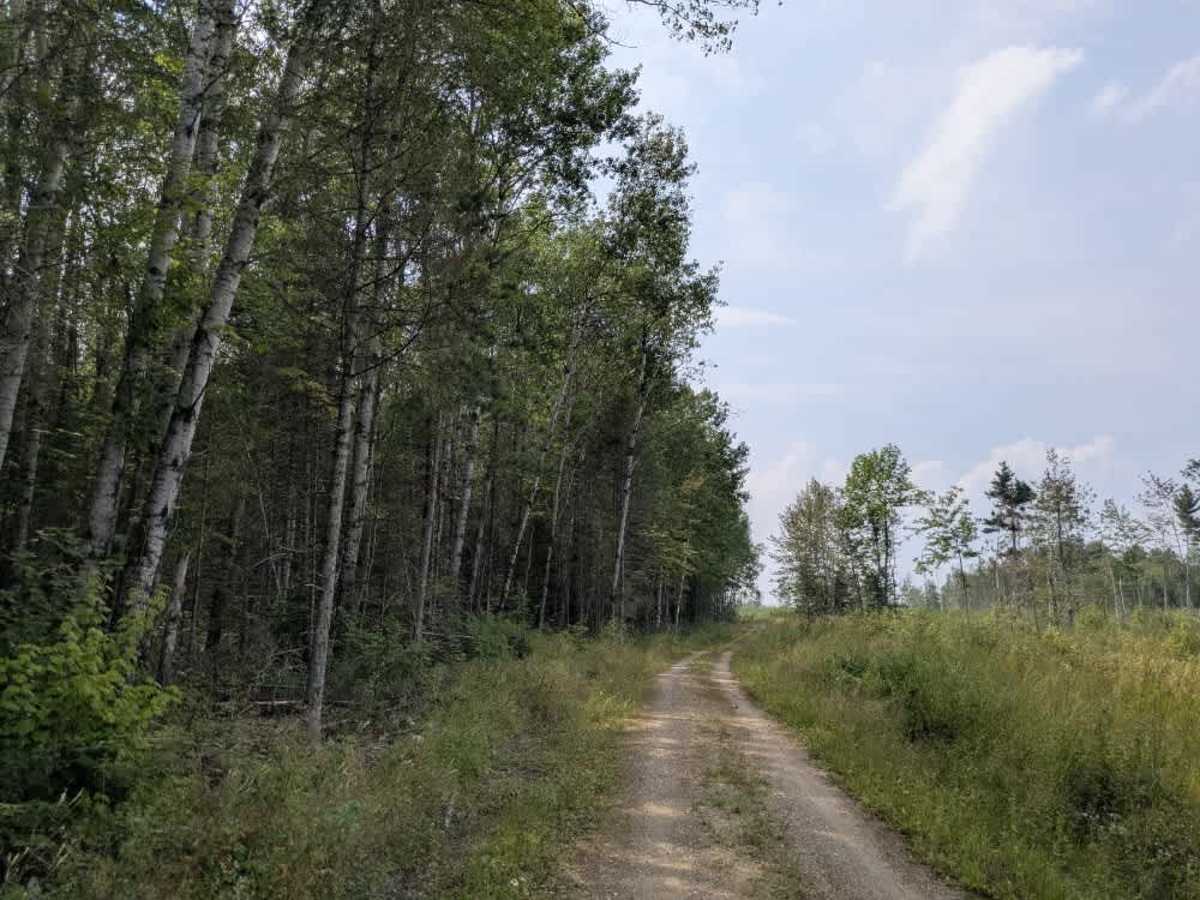
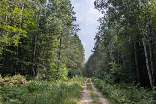
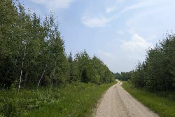
This mostly scenic trail is a narrow two-track route that is quite overgrown in places, with vegetation often encroaching on the trail. The route passes through wetlands, where several large puddles cross the trail. Although these water crossings may appear deep, the base is mostly rock, making them more manageable than they seem. The trail travels primarily through brushland and open grassland, with minimal forest cover. The surface is mostly smooth gravel. There are no residences along the route, and the area may see seasonal use by hunters. Several unnamed trails branch off from the main route, and there are a few dry clearings at higher elevations. This trail serves as a connector between two other routes and provides an alternative to the Haney Trail. Wildlife is common in the area, and deer are frequently seen along the trail. There are no formal campgrounds, and the trail lacks amenities such as trash disposal and potable water. Cell reception may be limited depending on the location.
Difficulty
This forested route is lightly maintained and typically sees use during peak seasons. Expect occasional fallen limbs, narrowing sections from plant growth, and minor obstacles.