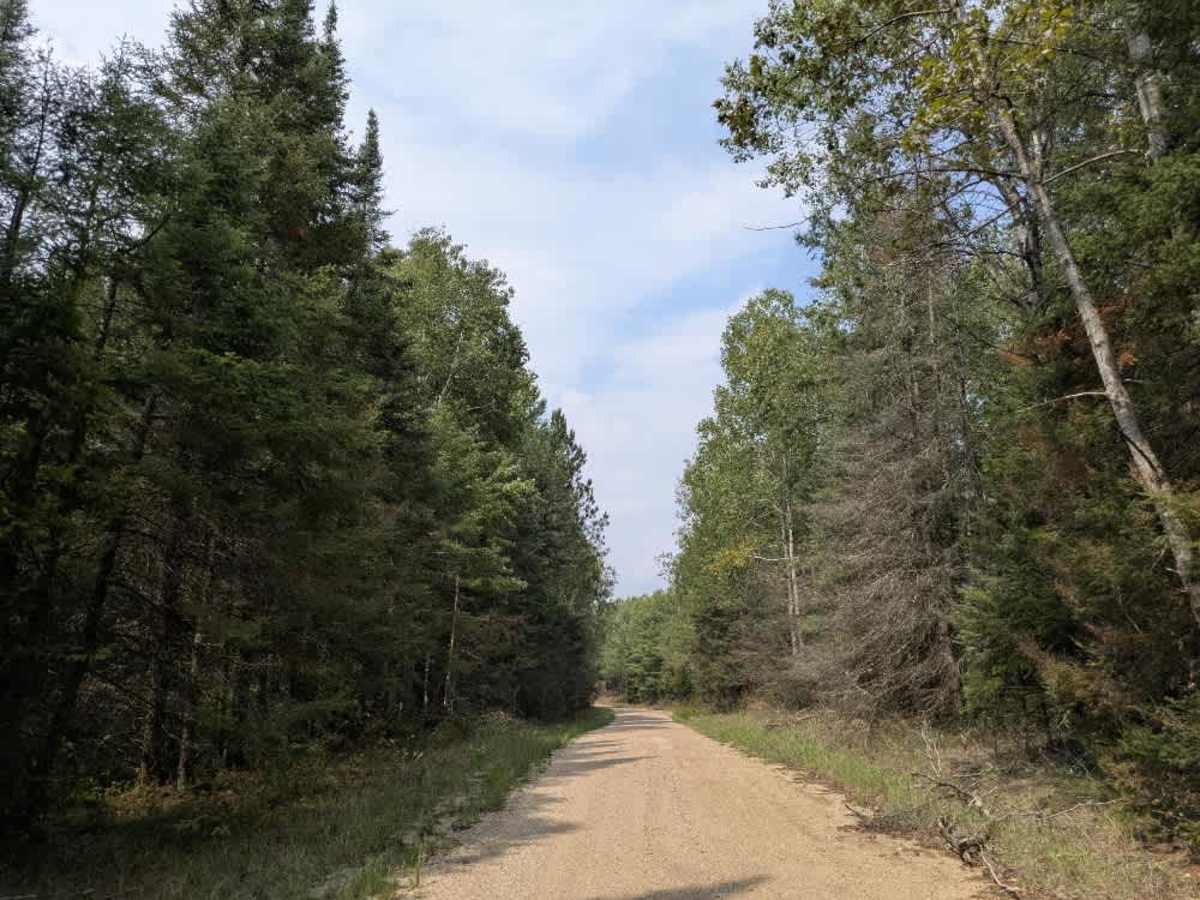
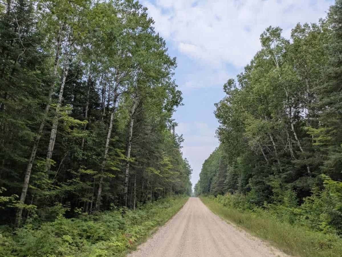
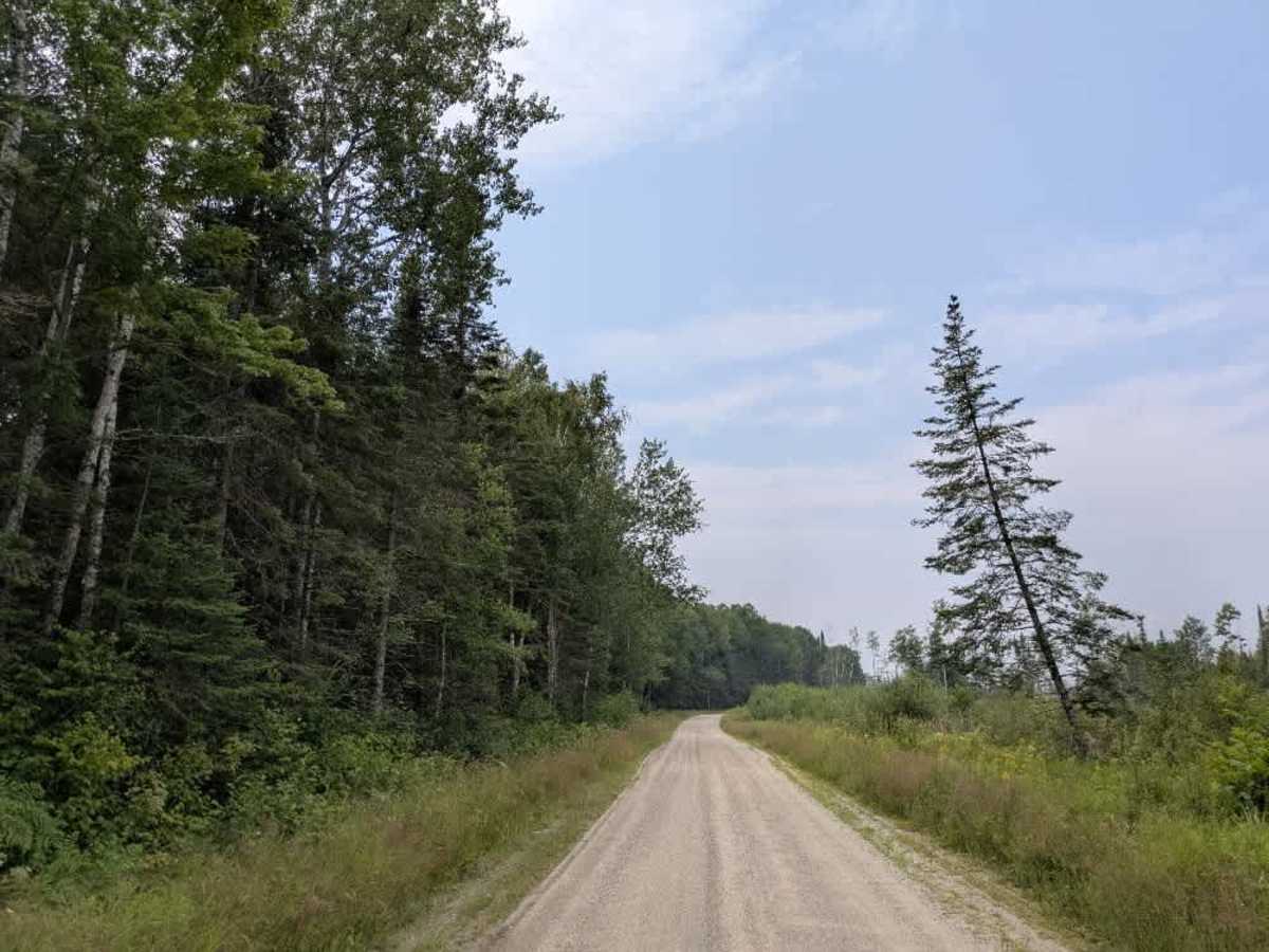
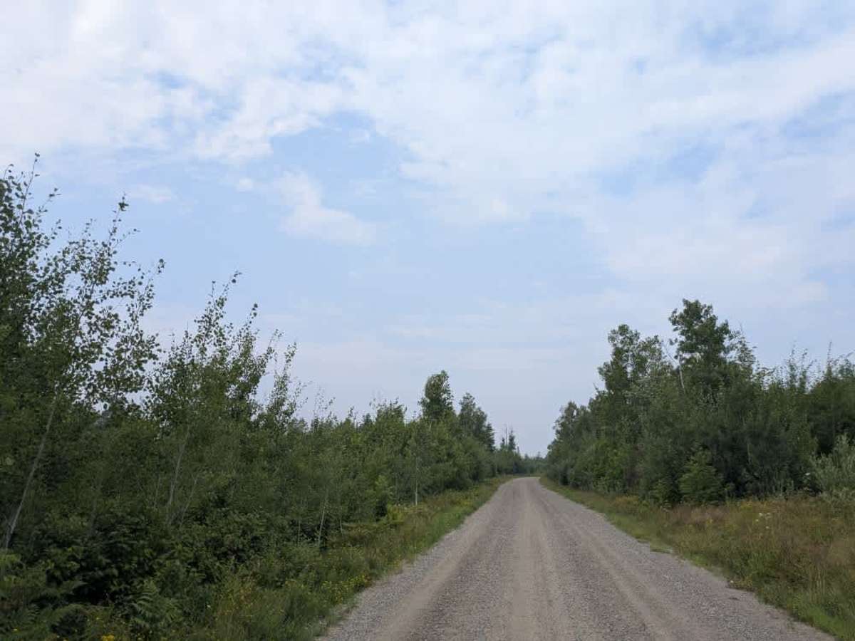
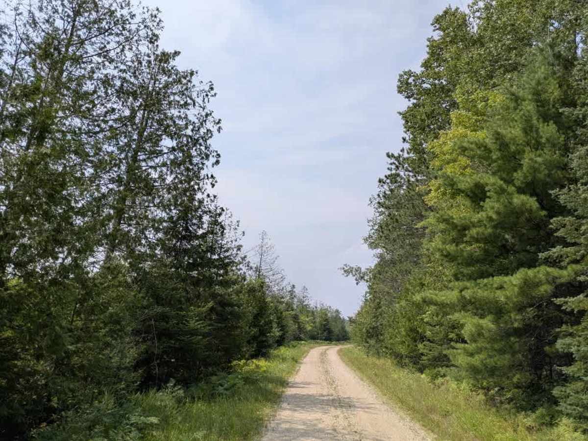
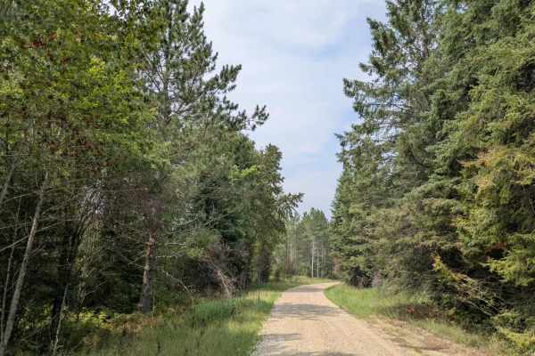
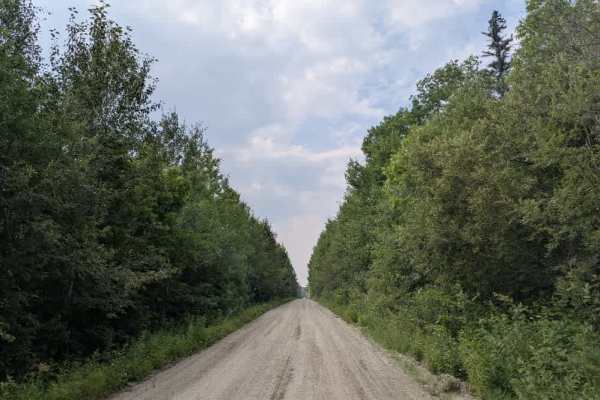
Trail Overview
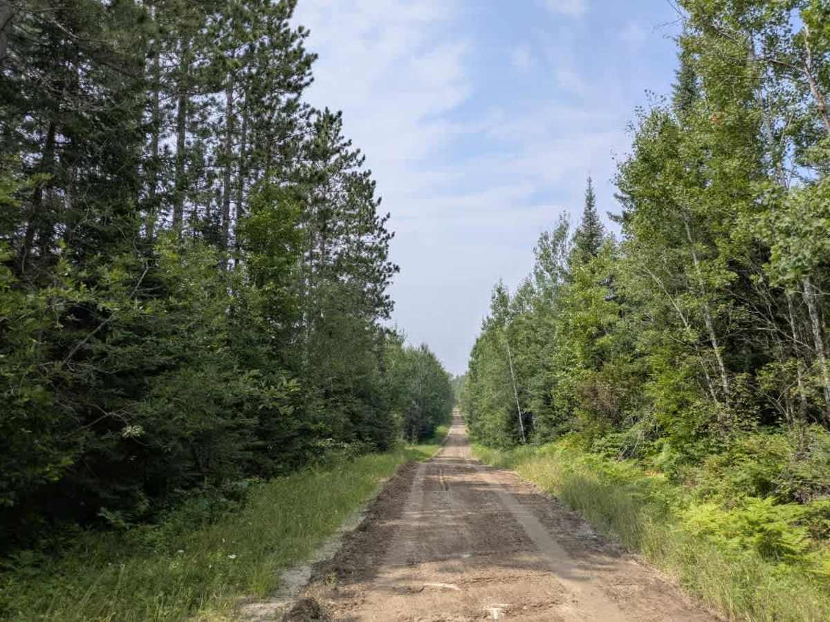
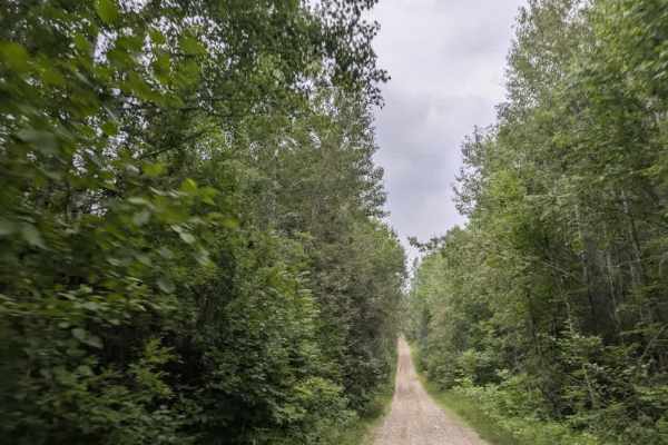
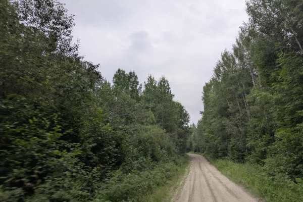
This trail begins at a paved road (eastern side) and immediately crosses a set of railway tracks before continuing as a wide, well-maintained gravel route. It winds through forested terrain and passes several side trails and private residences. As of August 2025, an open gate marks a transition point where the trail narrows and enters a section that was undergoing maintenance at the time of travel. The full length of the trail is approximately 17 miles, with a number of spur routes branching off along the way. It passes through wetlands, unnamed forest roads, and additional residential areas before ending at a corner where it continues under a different trail name. While the main route is generally navigable, it can be narrow and uneven in places, particularly where maintenance is incomplete. Drivers should remain cautious of local traffic and logging vehicles, especially on tighter sections. The trail does not offer any formal camping areas and lacks services such as trash disposal or potable water. Cell service may be limited depending on the section of the trail.
Difficulty
The trail is maintained but can develop light overgrowth between trims, especially in the summer months. Commonly used by local OHV traffic, the path remains visible and passable, though branches and low brush may occasionally encroach.