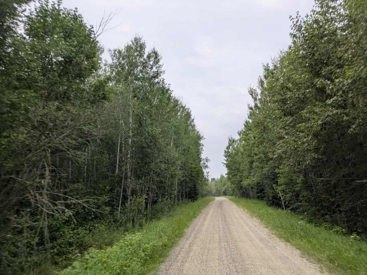
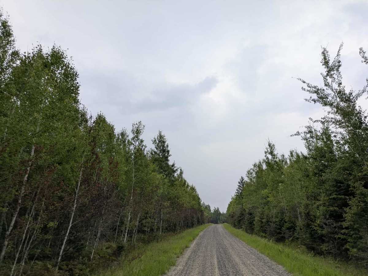
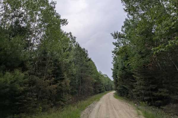
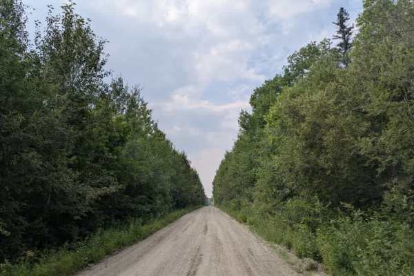
Trail Overview
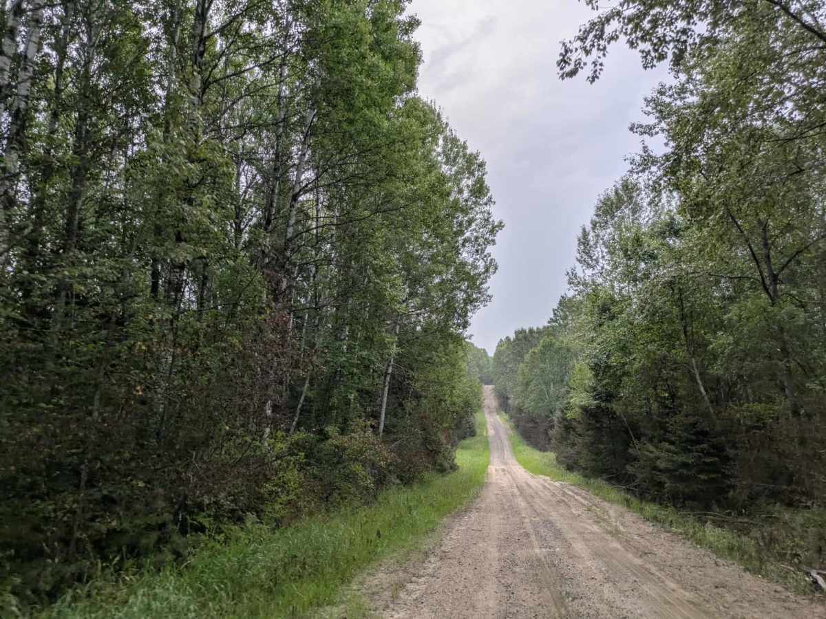
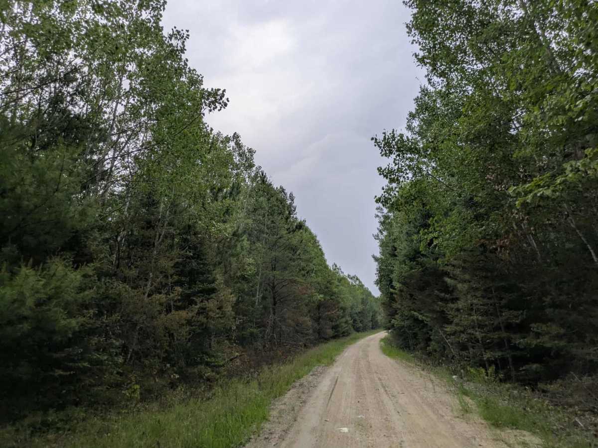
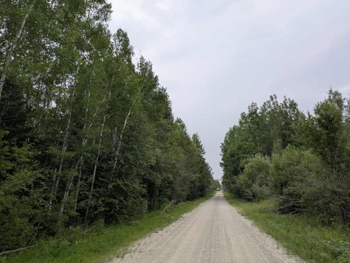
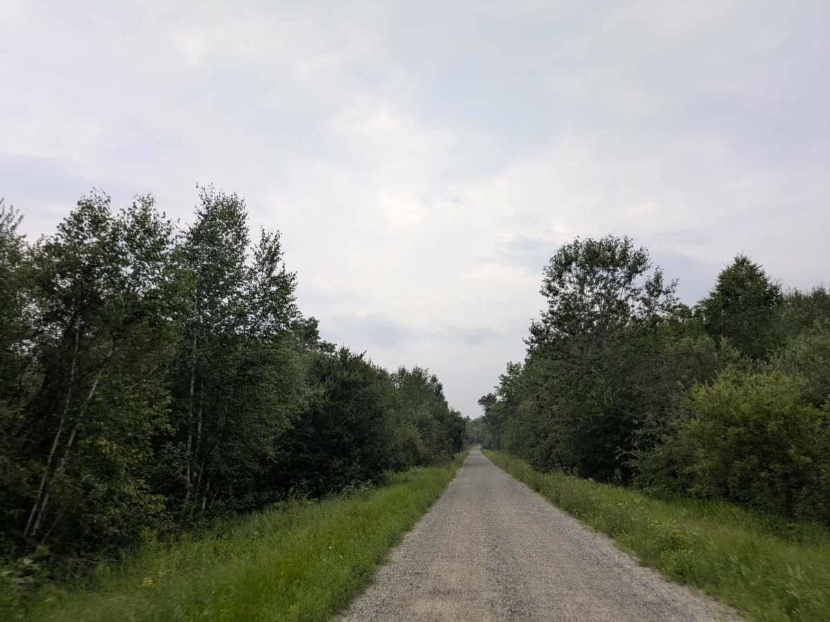
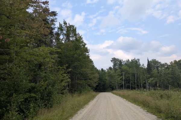
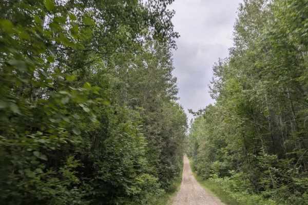
This scenic trail gradually climbs a hill, becoming more visually appealing the farther you travel. The forest along the route features a diverse mix of tree species, many of which begin to show fall colors as early as August. The trail surface is mostly well-maintained gravel, though there are some sections with freshly laid gravel that can be thick, loose, and slippery, requiring slower, more controlled driving. Several smaller trails branch off from the main route, and the trail eventually crosses a river before continuing toward what is believed to be a residential area. Near the top of the hill, there is a rocky clearing with a fire ring that is popular with locals as a spot for informal camping or picnicking. Beyond this point, the trail narrows and transitions into an ATV route. Drivers should be aware that the edges of the trail can become boggy, particularly after rain, and there is a hunting stand visible near another forest road that intersects the trail. The trail does not offer any formal campsites or facilities, and there are no services such as trash disposal or access to drinking water. Cell coverage may be limited along portions of the route.
Difficulty
This forested route is lightly maintained and typically sees use during peak seasons. Expect occasional fallen limbs, narrowing sections from plant growth, and minor obstacles.