
Beginner Off-Road Trails
Near East Ellijay, Georgia
Explore All Beginner Trails Near East Ellijay, Georgia
Beginner Off-Road Trails Near East Ellijay, Georgia
Discover the best beginner-friendly off-road trails near you. These easier, lower-rated trails are a great place to start — browse trail maps, check difficulty ratings, and find your next adventure.
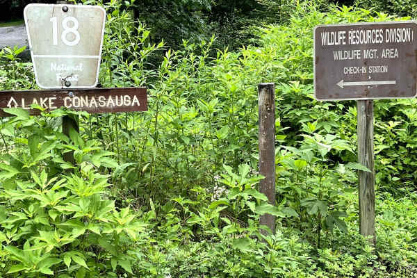
Mulberry Gap Road
Forrest Service Road 18 Mulberry Gap Road is an easy gravel road that will allow you access to some of the most world-class mountain biking in the area. Several trails for hiking can be accessed from this road, as well. There is also some cool scenery along the trail like an old fire truck, interest...
Learn more about Mulberry Gap Road
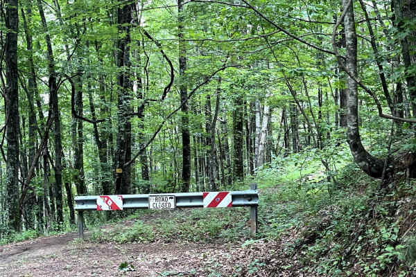
Pinhoti
Pinhoti (also known as 90B) rides through the Chattahoochee National Forest. This is an easy, shaded drive that winds through the mountains. The end of the trail opens up to a grassy clearing that would be perfect for camping or stopping for a picnic. Small trails (not suitable for vehicles) branch ...
Learn more about Pinhoti

Bush Head Gap Road
Relatively easy trail with no serious obstacles, but the route is very overgrown and only one vehicle wide. If you drive a full-size vehicle, prepare for scratches on the vehicle. If you look at a map of Bush Head Gap Road, the map will show that the trail is 1-2 miles longer than shown. However, th...
Learn more about Bush Head Gap Road
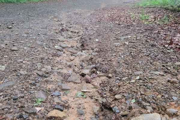
631- Tatum Lead
Tatum Lead Road begins in the Northern end of the Chattahoochee National Forest. The access road is given right of way through private property. It starts out on Georgia's scenic byway on Highway 52. There is an abundance of signs on the private property with no trespassing and no parking signs. The...
Learn more about 631- Tatum Lead
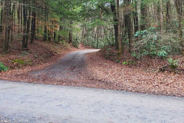
Cold Mountain - FSR 295
Cold Mountain, FSR 295, is a seasonally closed in-and-out forest service road in the Rich Mountain Wilderness. It serves primarily as access for hunters but does afford many nice primitive campsites along the road. Current 2024 MVUM maps list the open dates of 8/13- 6/1. Please report any dumpsites ...
Learn more about Cold Mountain - FSR 295
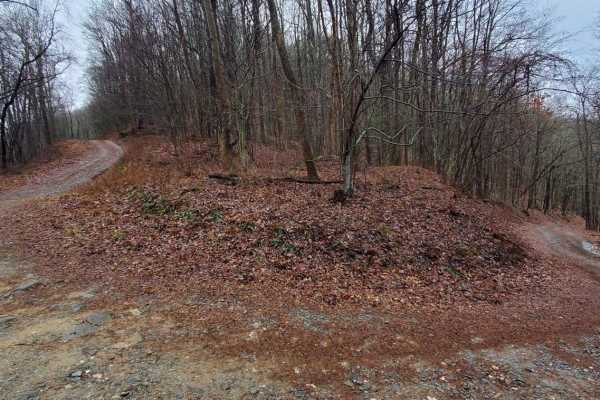
Stanley Gap - FSR 338
Stanley Gap, FSR 338, is a seasonally closed in-and-out forest service road in the Rich Mountain Wilderness. Being an in-and-out road, the return trip is included in the time estimate for this road. Primarily used as access for hunters, Stanley Gap also has plenty of great primitive campsites to enj...
Learn more about Stanley Gap - FSR 338
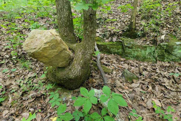
3 - Peeples Lake
Peeple's Lake begins in the heart of the city of Chatsworth. It is a dirt trail from beginning to the end, starting inside of a small residential area, and ending in the parking area of Rock Creek OHV trail (Less than 50" trails). The trail has heavy traffic with other vehicles pulling trailers, so ...
Learn more about 3 - Peeples Lake
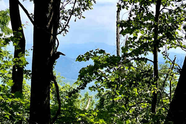
Flat Top Mountain
Forrest Service Road 64A is a rollercoaster of a road. On this road, you will feel like you are on a rollercoaster with how you climb this hill climb. long accents before dropping shortly to another hill climb. After the beautiful hill climb with amazing overlooks and some awesome rock faces along t...
Learn more about Flat Top Mountain
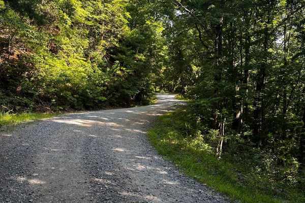
Springer Mountain Trail
Welcome to the Southern Terminus of the Appalachian Trail! This route takes you through the North Georgia mountains, passing right by the beginning of the historic AT. The trail is mostly dirt and gravel, with much of it wide enough for two cars. Along the way, you'll find small spurs that lead to d...
Learn more about Springer Mountain Trail
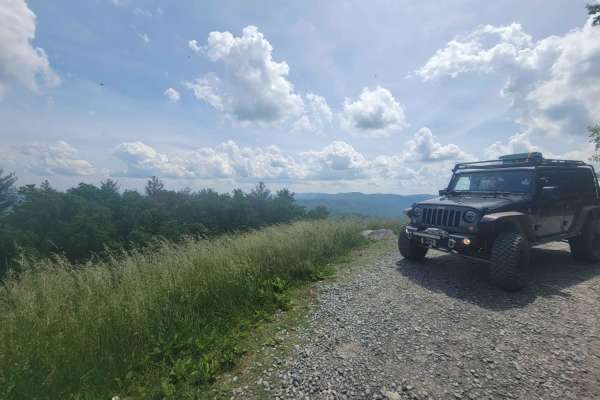
Old CCC Camp Road
This route has many wonderful views and is accessible by most vehicles. Connecting to the Georgia Traverse, it provides many options to continue your travels through the mountains and camping along the way. Depending on the weather, traveling in most vehicles that are not high clearance is possible;...
Learn more about Old CCC Camp Road
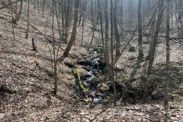
Williamson Cove
Williamson Cove is an out-and-back branch trail from Hickorynut Gap in the Chattahoochee National Forest in Fannin County, Georgia. These trails are exclusively for full-sized, high-clearance vehicles, with clear signage prohibiting access for SxS and ATVs. The trail is mainly a one-lane trail that ...
Learn more about Williamson Cove

Buchtown - FS 665
Buchtown - FS 665 is a 4.6-mile out-and-back route that travels through heavily forested terrain on a packed dirt and gravel surface. The trail remains a single lane with few places to pass and is described as not maintained, although it carries an easy difficulty rating. An open area marks the end ...
Learn more about Buchtown - FS 665
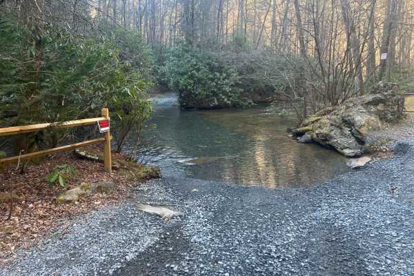
Cashes Valley Road
Cashes Valley Road is a hidden gem, perfect for an out-and-back adventure in the Chattahoochee National Forest, spanning Fannin and Gilmer Counties in Georgia. This picturesque trail features several water crossings, approximately a foot deep under dry conditions. However, be prepared for these cros...
Learn more about Cashes Valley Road
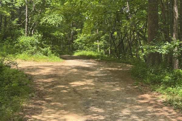
Buzzard Roost - FS 188
Buzzard Roost - FS 188 is a 2.8-mile out-and-back route that follows a lightly maintained packed dirt surface through heavily forested terrain. The trail remains a single lane with few places to pass and carries an easy difficulty rating. An open area marks the end of the route. A quiet forest setti...
Learn more about Buzzard Roost - FS 188
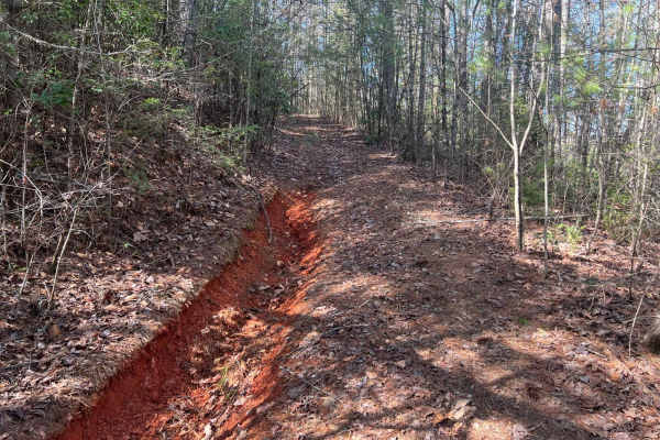
Postelle
The Postelle Trail is an out-and-back route in the Chattahoochee National Forest within Fannin County, Georgia. This trail is defined by its single-lane path, which is rarely traversed and has become overgrown, rendering it unsuitable for full-sized vehicles. The narrow trail accommodates only one v...
Learn more about Postelle
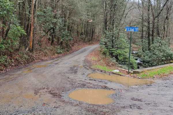
Hickorynut Gap - FSR 797
Hickorynut Gap, FSR 797, is an in-and-out forest service road in the Chattahoochee-Oconee National Forest just on the edge of the Cohutta Wilderness. Being an in-and-out road, the travel time reflects this with the return trip. It is a longer than usual forest service road for the area. Hickorynut G...
Learn more about Hickorynut Gap - FSR 797
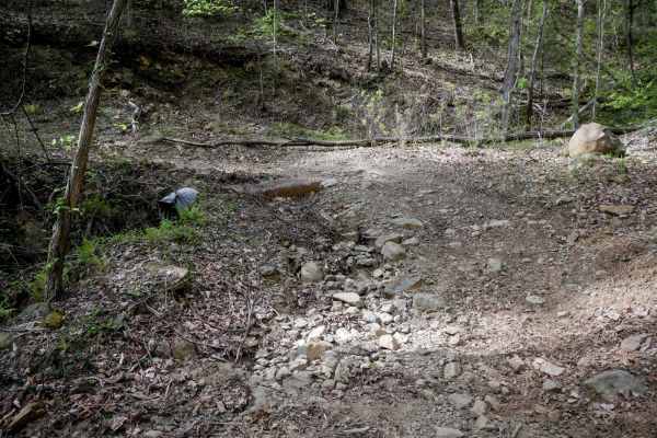
Tibbs ATV
Tibbs ATV Trail is a 2.2-mile out-and-back route starting at a large intersection with Milma Creek Trail. The northern section has been decommissioned and no longer connects to the Tibbs ORV Trailhead, according to the Forest Service. The trail is a wide, shelfy two-track traversing the mountainside...
Learn more about Tibbs ATV
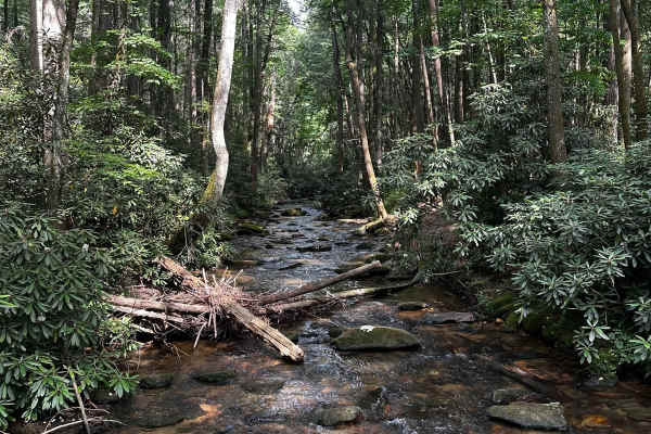
Noontootla
If you are looking for group camping opportunities alongside a rushing creek, this is your trail! This route is very beginner-friendly, consisting mostly of loose gravel and dirt. Many families and larger groups car camp in designated areas along the creek on the west side of the road. Be sure to ar...
Learn more about Noontootla
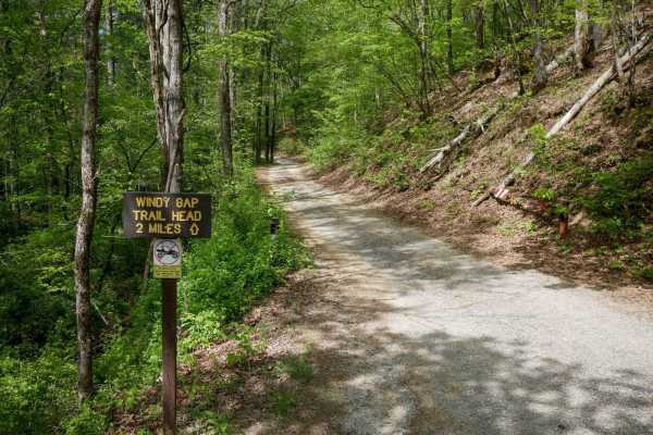
Muskrat Creek
Muskrat Creek Road is a 5-mile dirt road starting from Old CCC Camp Road, restricted to street-legal vehicles--no OHVs or ATVs. The road is narrow with low-hanging branches and may not be suitable for RVs or high-clearance vehicles, despite being generally easy to drive. Expect a one-vehicle width w...
Learn more about Muskrat Creek
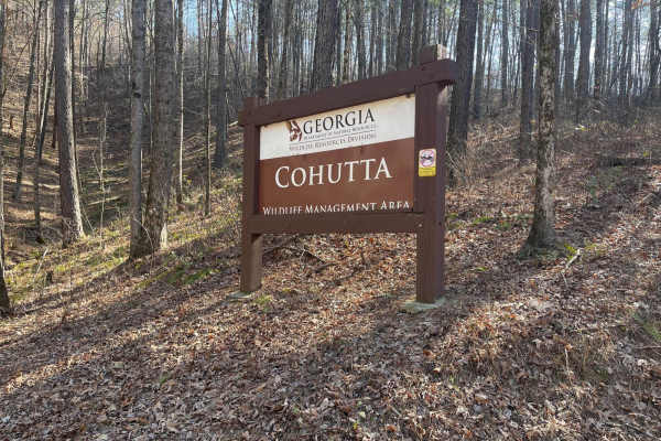
FS-68 Lake Conasauga
The Lake Conasauga trail system is located in the Cohutta Wilderness area of the Chattahoochee National Forest. Plan to spend the better part of your daily adventure here and enjoy the peaceful serenity of this mountain lake. Most legally tagged full-sized vehicles can easily be accessed from the FS...
Learn more about FS-68 Lake Conasauga
Beginner ATV trails near East Ellijay, Georgia
Explore ATV-friendly trails near you. These trails are accessible for vehicles up to 50 inches wide, perfect for ATVs and smaller off-road machines.
Bush Head Gap Road
Relatively easy trail with no serious obstacles, but the route is very overgrown and only one vehicle wide. If you drive a full-size vehicle, prepare for scratches on the vehicle. If you look at a map of Bush Head Gap Road, the map will show that the trail is 1-2 miles longer than shown. However, th...
Learn more about Bush Head Gap Road
631- Tatum Lead
Tatum Lead Road begins in the Northern end of the Chattahoochee National Forest. The access road is given right of way through private property. It starts out on Georgia's scenic byway on Highway 52. There is an abundance of signs on the private property with no trespassing and no parking signs. The...
Learn more about 631- Tatum Lead
3 - Peeples Lake
Peeple's Lake begins in the heart of the city of Chatsworth. It is a dirt trail from beginning to the end, starting inside of a small residential area, and ending in the parking area of Rock Creek OHV trail (Less than 50" trails). The trail has heavy traffic with other vehicles pulling trailers, so ...
Learn more about 3 - Peeples Lake
Springer Mountain Trail
Welcome to the Southern Terminus of the Appalachian Trail! This route takes you through the North Georgia mountains, passing right by the beginning of the historic AT. The trail is mostly dirt and gravel, with much of it wide enough for two cars. Along the way, you'll find small spurs that lead to d...
Learn more about Springer Mountain Trail
Beginner UTV/side-by-side trails near East Ellijay, Georgia
Find UTV and side-by-side trails near you. These trails accommodate vehicles up to 60 inches wide, ideal for UTVs, side-by-sides, and wider off-road rigs.
Bush Head Gap Road
Relatively easy trail with no serious obstacles, but the route is very overgrown and only one vehicle wide. If you drive a full-size vehicle, prepare for scratches on the vehicle. If you look at a map of Bush Head Gap Road, the map will show that the trail is 1-2 miles longer than shown. However, th...
Learn more about Bush Head Gap Road
631- Tatum Lead
Tatum Lead Road begins in the Northern end of the Chattahoochee National Forest. The access road is given right of way through private property. It starts out on Georgia's scenic byway on Highway 52. There is an abundance of signs on the private property with no trespassing and no parking signs. The...
Learn more about 631- Tatum Lead
3 - Peeples Lake
Peeple's Lake begins in the heart of the city of Chatsworth. It is a dirt trail from beginning to the end, starting inside of a small residential area, and ending in the parking area of Rock Creek OHV trail (Less than 50" trails). The trail has heavy traffic with other vehicles pulling trailers, so ...
Learn more about 3 - Peeples Lake
Springer Mountain Trail
Welcome to the Southern Terminus of the Appalachian Trail! This route takes you through the North Georgia mountains, passing right by the beginning of the historic AT. The trail is mostly dirt and gravel, with much of it wide enough for two cars. Along the way, you'll find small spurs that lead to d...
Learn more about Springer Mountain Trail
The onX Offroad Difference
onX Offroad combines trail photos, descriptions, difficulty ratings, width restrictions, seasonality, and more in a user-friendly interface. Available on all devices, with offline access and full compatibility with CarPlay and Android Auto. Discover what you're missing today!
Open Trail Map