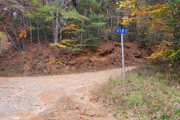
Stanley Gap - FSR 338

Total Miles 7.6
Technical Rating
3 Easy
Best Time Fall, Winter
Trail Type Full-Width Road
Accessible By
Open Trail Map

Trail Overview

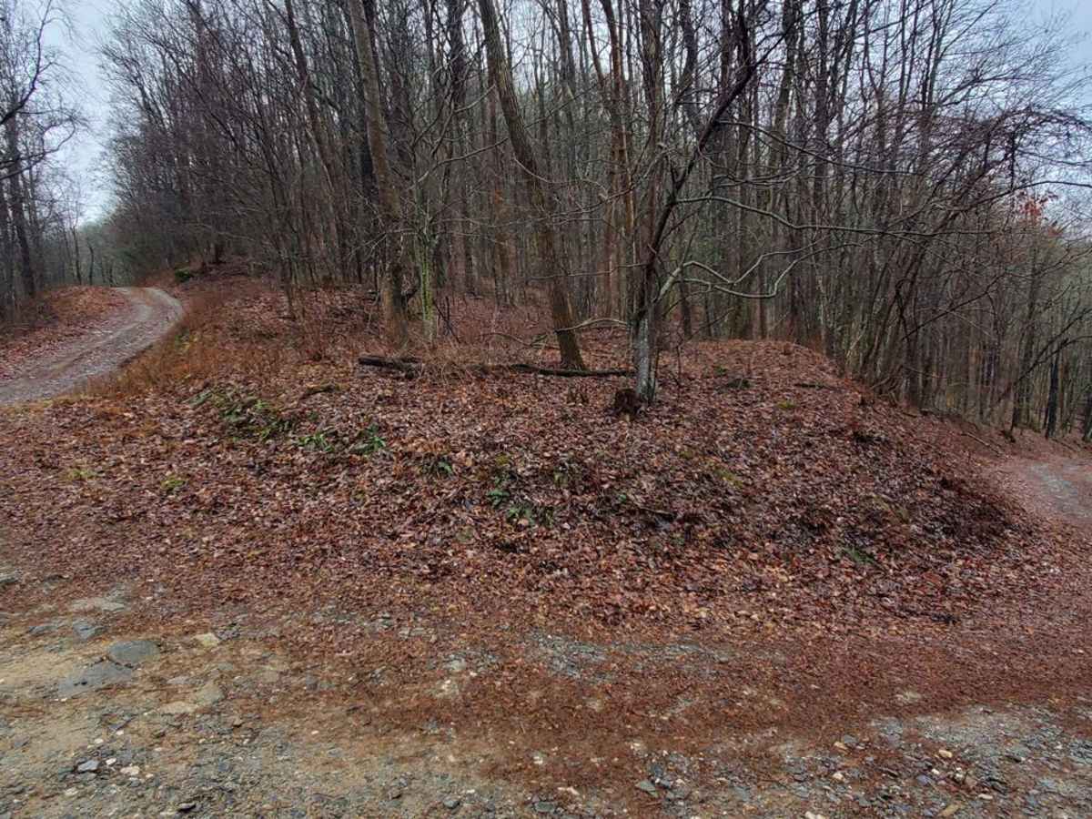
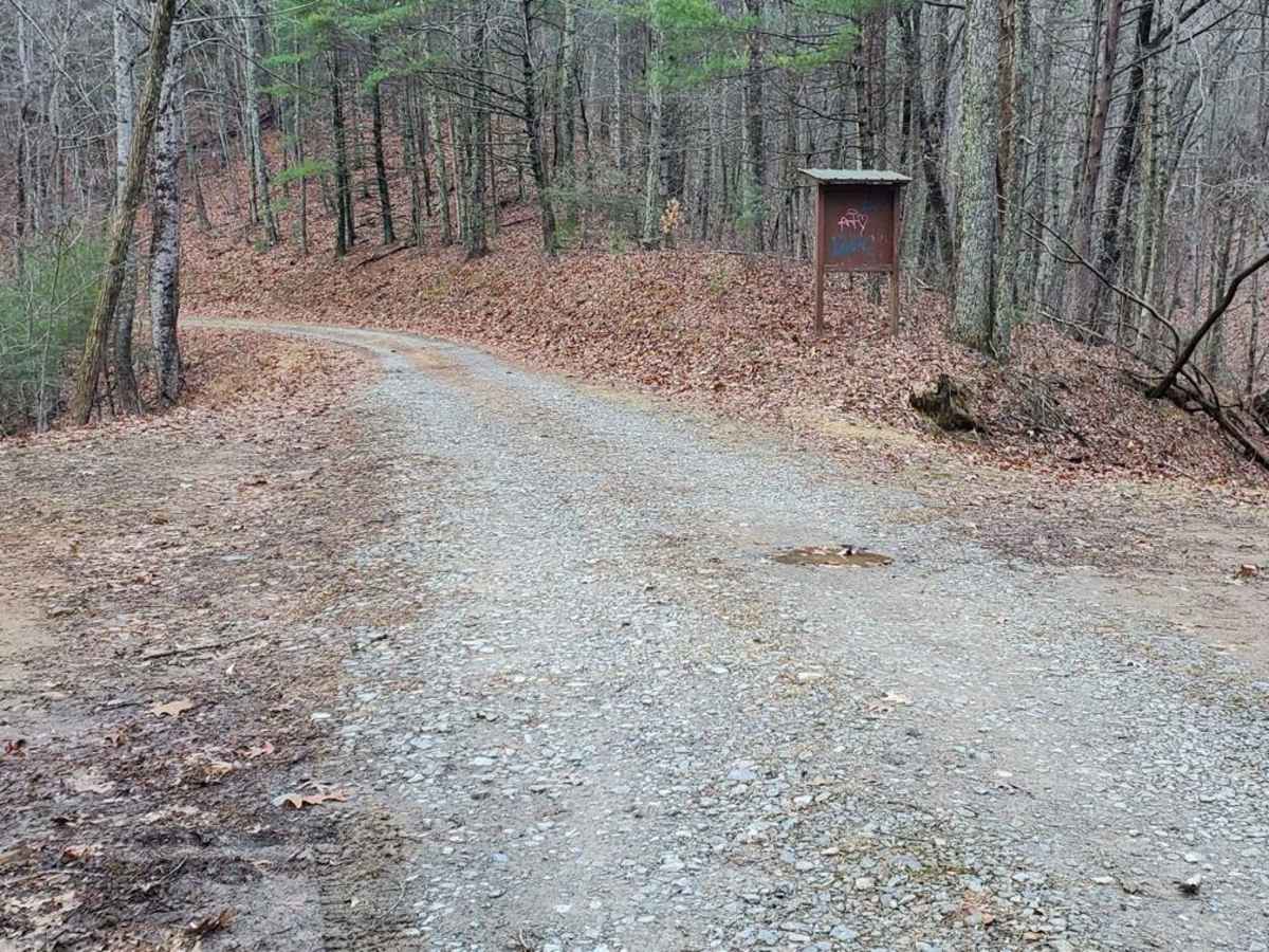
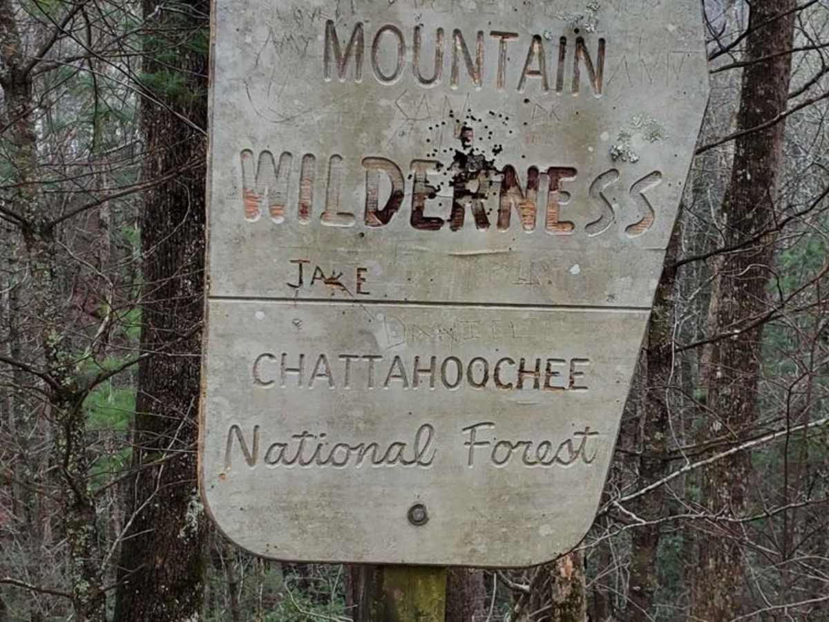
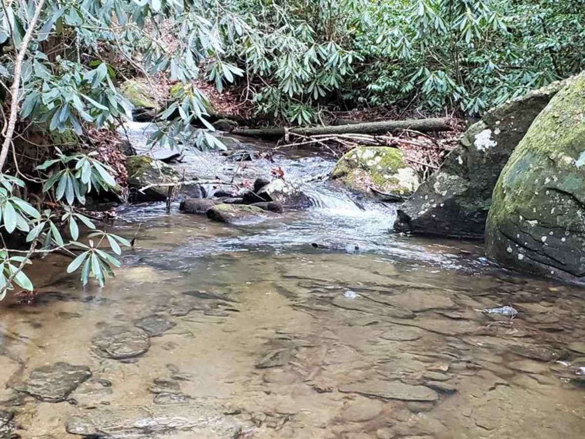
Stanley Gap, FSR 338, is a seasonally closed in-and-out forest service road in the Rich Mountain Wilderness. Being an in-and-out road, the return trip is included in the time estimate for this road. Primarily used as access for hunters, Stanley Gap also has plenty of great primitive campsites to enjoy. This road gets fairly high in elevation for the area and thus weather shifts can take place, plan accordingly. Current 2024 MVUM maps list the open dates of 8/13-6/1. Please report any dumpsites or illegal activities to the Blue Ridge Ranger District at 706 745-6928.

Photos of Stanley Gap - FSR 338

Difficulty

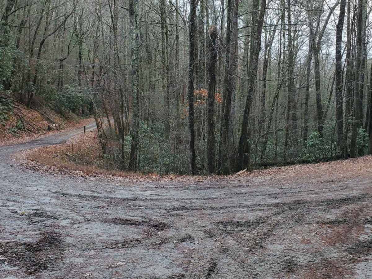
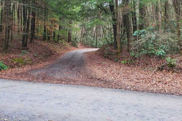
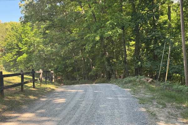
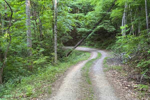
Most of this road is typical of the forest service roads in the area. A smooth gravel road with occasional potholes that can often be filled with water and/or mud. However, there are a few spots where erosion is starting to take its toll, and some suspension flex and ground clearance would be helpful. In said sections, the road is wide enough to pick an easy line for those with less ground clearance. 4-wheel drive/all-wheel drive is recommended, but when dry, 2wd vehicles with a little ground clearance could get by. There are a few water crossings but nothing to give pause.

Technical Rating

3

Status Reports

Add Status Report
Franz Kinkhorst
Jun 10, 2026
Open
Shannon Massey
May 24, 2026
Open
This trail is deceiving upon entry terrain is smooth gravel & well maintained until soon after 1st crossing the terrian becomes rutted, off camber spot and mostly at a steep incline. Best to engage 4L for remainder of trail both in & out. This trail was probably more technical with the wet weather but fun when ridden smart & choosing safe lanes over fun lanes. I wouldn't do this route alone especially if at beginner level. This trail is rated a 3, but is more of a moderate 4 ranking trail. Highest elevation was 3800 plus. Took us over 2.5 hrs weather deteriorated on our way back down & out. Great trail!!
Blair Thompson
Apr 02, 2026
Open
Easy start on the trail Not much room for on coming vehicle. Once past hiking trail gets more difficult. Lots of steep grades and not much gravel or any left Some small creek crossings and large turn around at end. 4x4 recommended. If you want some elevation to climb this one has it
Tyler McGinnis
Mar 14, 2026
Open
Tree down about 1.5 miles in
Gilbert T
Feb 28, 2026
Open
ben
Jan 11, 2026
Open
Bob Hochstetter
Nov 24, 2025
Open
John Szczesniak
Oct 23, 2025
Open
Good trails with some slight divots and obstacles. Nothing too hard and only needed 4H, 4L wasn’t really required. Some decent ruts and wash outs on parts of the road but medium difficulty. Ran with AT tires.
Ian Prester
Oct 16, 2025
Open
Luis Garcia
Aug 31, 2025
Open
Ron Fuller
Jul 06, 2025
Open
Felix Miller
Jun 28, 2025
Open
Gate was closed with no information posted.
Priyo L
Apr 12, 2025
Open
Trail is open now. Fair number of stream crossings, nothing too deep. I rated 3 due to the numerous ups and downs (like camel jumps) that you have to cross, some has up to 17 degrees of pitch. Most of the trail will have enough space for 2 vehicles to pass, apart from some narrow section. That’s where I encountered a full sized Silverado truck (USFS), the person driving it backed up about a quarter of a mile so that I could pass. He had right of way, but still did it which I appreciate. It would have sucked to back down the trail to the open area. A number of camping spots along the route and at the top. Took me an hour to get down and a little more than that to get up. A note: this trail can get very slippery due to the rocks and gravels when wet. I used 4 low even when it was dry today to ensure I don’t heat up brakes while coming down
Nolan Logsdon
Mar 01, 2025
Open
Just a closed gate. No sign saying when it will be open again or why it was closed.

Stanley Gap - FSR 338 Trail can be accessed by the following ride types:

  • High Clearance
  • Full Width

Stanley Gap - FSR 338 Map

The onX Offroad Difference

onX Offroad combines trail photos, descriptions, difficulty ratings, width restrictions, seasonality, and more in a user-friendly interface. Available on all devices, with offline access and full compatibility with CarPlay and Android Auto. Discover what you're missing today!

Open Trail Map