
Beginner Off-Road Trails
Near Talking Rock, Georgia
Explore All Beginner Trails Near Talking Rock, Georgia
Beginner Off-Road Trails Near Talking Rock, Georgia
Discover the best beginner-friendly off-road trails near you. These easier, lower-rated trails are a great place to start — browse trail maps, check difficulty ratings, and find your next adventure.
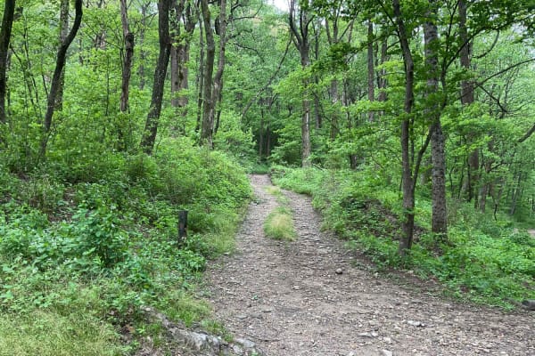
Amicalola Creek - FS 46
FS 46, Amicalola Creek Trail, is approximately 4.5 miles long and a relatively easy trail to navigate. You can enter from Nimblewill Road and exit the trail at an amazing campground associated with the Amicalola Falls State Park. The trail is a good mix of terrain. The portion closer to the State Pa...
Learn more about Amicalola Creek - FS 46

Buchtown - FS 665
Buchtown - FS 665 is a 4.6-mile out-and-back route that travels through heavily forested terrain on a packed dirt and gravel surface. The trail remains a single lane with few places to pass and is described as not maintained, although it carries an easy difficulty rating. An open area marks the end ...
Learn more about Buchtown - FS 665

Etowah River Access
Trail access is located directly off Conns Creek Road. The entrance is not marked, and it is easy to miss the freshly graveled access point if you are not paying close attention. The trailhead includes a porta-potty before entering and proceeding down the trail. The trail itself is relatively short ...
Learn more about Etowah River Access
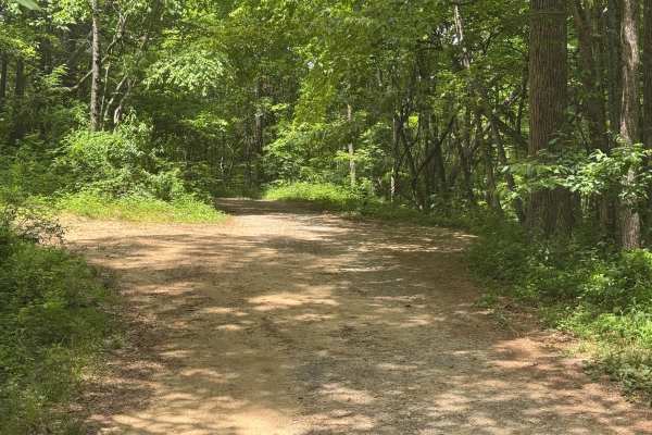
Buzzard Roost - FS 188
Buzzard Roost - FS 188 is a 2.8-mile out-and-back route that follows a lightly maintained packed dirt surface through heavily forested terrain. The trail remains a single lane with few places to pass and carries an easy difficulty rating. An open area marks the end of the route. A quiet forest setti...
Learn more about Buzzard Roost - FS 188
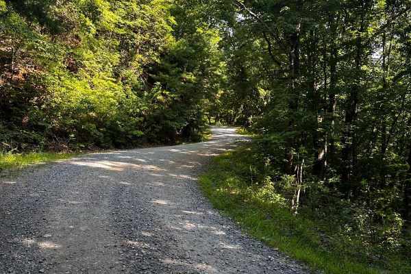
Springer Mountain Trail
Welcome to the Southern Terminus of the Appalachian Trail! This route takes you through the North Georgia mountains, passing right by the beginning of the historic AT. The trail is mostly dirt and gravel, with much of it wide enough for two cars. Along the way, you'll find small spurs that lead to d...
Learn more about Springer Mountain Trail
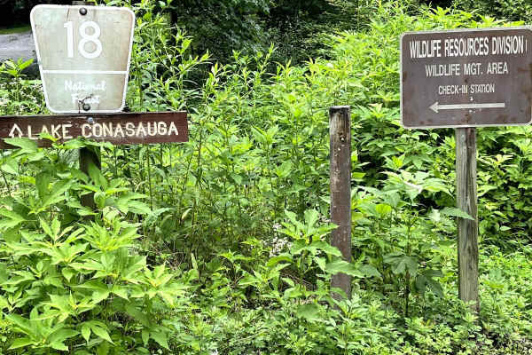
Mulberry Gap Road
Forrest Service Road 18 Mulberry Gap Road is an easy gravel road that will allow you access to some of the most world-class mountain biking in the area. Several trails for hiking can be accessed from this road, as well. There is also some cool scenery along the trail like an old fire truck, interest...
Learn more about Mulberry Gap Road
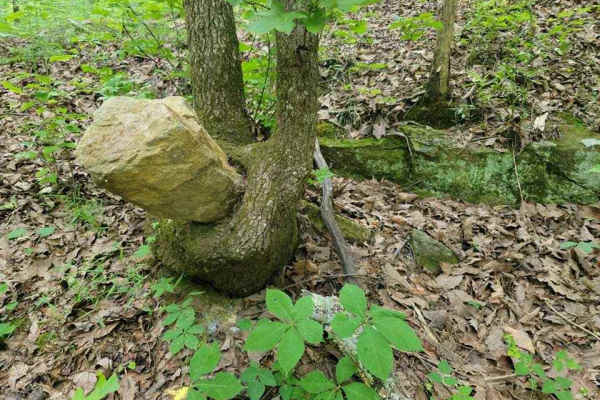
3 - Peeples Lake
Peeple's Lake begins in the heart of the city of Chatsworth. It is a dirt trail from beginning to the end, starting inside of a small residential area, and ending in the parking area of Rock Creek OHV trail (Less than 50" trails). The trail has heavy traffic with other vehicles pulling trailers, so ...
Learn more about 3 - Peeples Lake
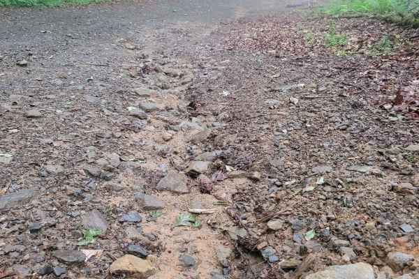
631- Tatum Lead
Tatum Lead Road begins in the Northern end of the Chattahoochee National Forest. The access road is given right of way through private property. It starts out on Georgia's scenic byway on Highway 52. There is an abundance of signs on the private property with no trespassing and no parking signs. The...
Learn more about 631- Tatum Lead
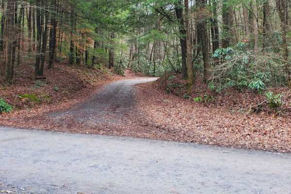
Cold Mountain - FSR 295
Cold Mountain, FSR 295, is a seasonally closed in-and-out forest service road in the Rich Mountain Wilderness. It serves primarily as access for hunters but does afford many nice primitive campsites along the road. Current 2024 MVUM maps list the open dates of 8/13- 6/1. Please report any dumpsites ...
Learn more about Cold Mountain - FSR 295
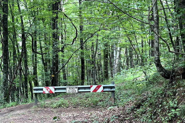
Pinhoti
Pinhoti (also known as 90B) rides through the Chattahoochee National Forest. This is an easy, shaded drive that winds through the mountains. The end of the trail opens up to a grassy clearing that would be perfect for camping or stopping for a picnic. Small trails (not suitable for vehicles) branch ...
Learn more about Pinhoti
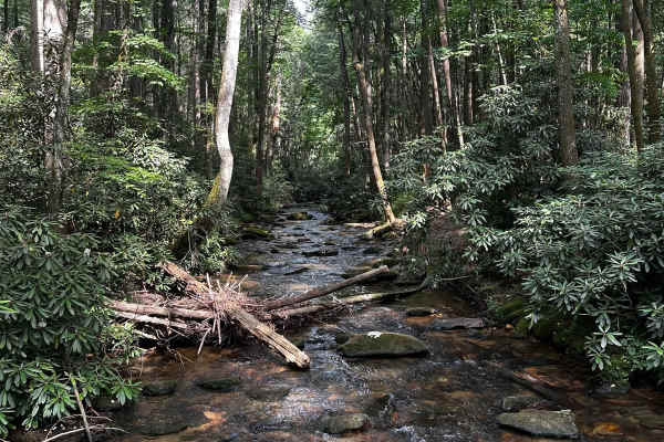
Noontootla
If you are looking for group camping opportunities alongside a rushing creek, this is your trail! This route is very beginner-friendly, consisting mostly of loose gravel and dirt. Many families and larger groups car camp in designated areas along the creek on the west side of the road. Be sure to ar...
Learn more about Noontootla
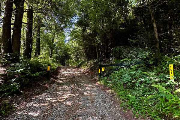
Long Creek Trail
This out-and-back trail consists mostly of hard-packed gravel and dirt. As you veer onto the section at (34.65449, -84.17772), be mindful of seasonal gate closures. This trail features a few deeper ruts and narrower passages, making it difficult to find turn-around points. At the end of the trail, t...
Learn more about Long Creek Trail
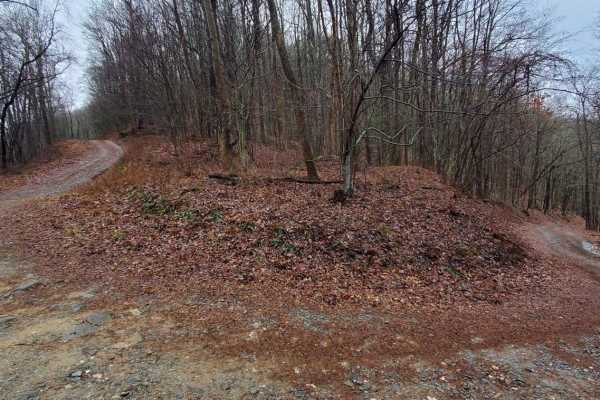
Stanley Gap - FSR 338
Stanley Gap, FSR 338, is a seasonally closed in-and-out forest service road in the Rich Mountain Wilderness. Being an in-and-out road, the return trip is included in the time estimate for this road. Primarily used as access for hunters, Stanley Gap also has plenty of great primitive campsites to enj...
Learn more about Stanley Gap - FSR 338
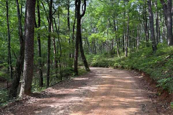
Winding Stair Gap - FS 77
The Winding Stair Gap, also known as FS 77, connects FS 28-1 at the south end with FS 42 at the north end of the trail. That trail takes you to the Winding Stair Trailhead. It is a gravel forestry road with some soft sand spots that can turn into mud holes after heavy rain. The road is not always w...
Learn more about Winding Stair Gap - FS 77
Blue Ridge - FS 42
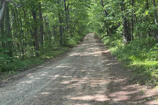
Blue Ridge - FS 42 is a 3.7-mile point-to-point route that follows a well-maintained packed dirt and gravel surface through heavily forested terrain. The trail features a generous single-lane width and carries an easy difficulty rating, making it a straightforward forest road for highway-legal vehic...
Learn more about Blue Ridge - FS 42

Bush Head Gap Road
Relatively easy trail with no serious obstacles, but the route is very overgrown and only one vehicle wide. If you drive a full-size vehicle, prepare for scratches on the vehicle. If you look at a map of Bush Head Gap Road, the map will show that the trail is 1-2 miles longer than shown. However, th...
Learn more about Bush Head Gap Road
FS 83 (Bull Mountain Rd.)
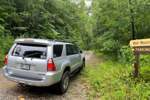
Bull Mountain Road is in the Chattahoochee-Oconee National Forest. The trail branches off Winding Stair Gap Road, and, like many north Georgia Forest Service routes, the surface is mostly gravel with patches and brief stretches of dirt (red clay). 4WD is recommended, especially during or after rainf...
Learn more about FS 83 (Bull Mountain Rd.)
Nimblewill Branch 1
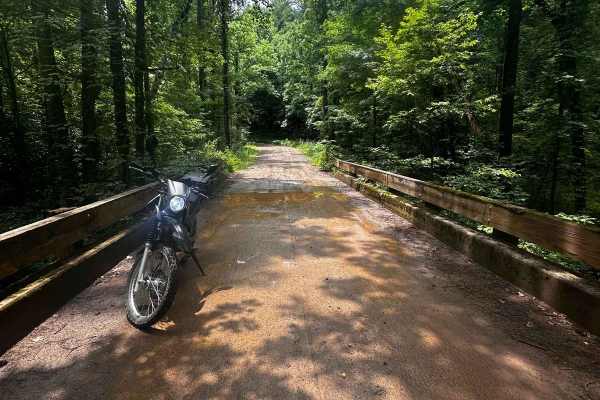
Branching off from Winding Stair Mountain Trail, this beginner-friendly path leads you through the North Georgia mountains on hard-packed dirt and gravel. At the northern end of this branch, you will find an Army Ranger base marking the transition to the next trail. Along the route, there are option...
Learn more about Nimblewill Branch 1
Jones Creek Road - FS 77A
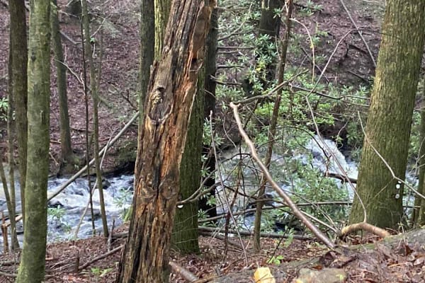
This deceptively fun out-and-back drive branches west from Winding Stair Gap Road in the Chattahoochee-Oconee National Forest. The surface is gravel, rock, and red Georgia clay and runs through dense forest along its namesake Jones Creek. The rushing water can be heard with the windows down. 4WD is ...
Learn more about Jones Creek Road - FS 77A
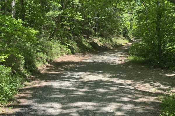
Peter Knob - FS 339
Peter Knob - FS 339 is a 2-mile out-and-back route that follows a packed dirt and gravel surface through heavily forested terrain. The trail remains a single lane with places to pass and is moderately maintained, providing generally straightforward travel. With an easy difficulty rating, the route f...
Learn more about Peter Knob - FS 339
Beginner ATV trails near Talking Rock, Georgia
Explore ATV-friendly trails near you. These trails are accessible for vehicles up to 50 inches wide, perfect for ATVs and smaller off-road machines.
Springer Mountain Trail
Welcome to the Southern Terminus of the Appalachian Trail! This route takes you through the North Georgia mountains, passing right by the beginning of the historic AT. The trail is mostly dirt and gravel, with much of it wide enough for two cars. Along the way, you'll find small spurs that lead to d...
Learn more about Springer Mountain Trail
3 - Peeples Lake
Peeple's Lake begins in the heart of the city of Chatsworth. It is a dirt trail from beginning to the end, starting inside of a small residential area, and ending in the parking area of Rock Creek OHV trail (Less than 50" trails). The trail has heavy traffic with other vehicles pulling trailers, so ...
Learn more about 3 - Peeples Lake
631- Tatum Lead
Tatum Lead Road begins in the Northern end of the Chattahoochee National Forest. The access road is given right of way through private property. It starts out on Georgia's scenic byway on Highway 52. There is an abundance of signs on the private property with no trespassing and no parking signs. The...
Learn more about 631- Tatum Lead
Noontootla
If you are looking for group camping opportunities alongside a rushing creek, this is your trail! This route is very beginner-friendly, consisting mostly of loose gravel and dirt. Many families and larger groups car camp in designated areas along the creek on the west side of the road. Be sure to ar...
Learn more about Noontootla
Beginner UTV/side-by-side trails near Talking Rock, Georgia
Find UTV and side-by-side trails near you. These trails accommodate vehicles up to 60 inches wide, ideal for UTVs, side-by-sides, and wider off-road rigs.
Springer Mountain Trail
Welcome to the Southern Terminus of the Appalachian Trail! This route takes you through the North Georgia mountains, passing right by the beginning of the historic AT. The trail is mostly dirt and gravel, with much of it wide enough for two cars. Along the way, you'll find small spurs that lead to d...
Learn more about Springer Mountain Trail
3 - Peeples Lake
Peeple's Lake begins in the heart of the city of Chatsworth. It is a dirt trail from beginning to the end, starting inside of a small residential area, and ending in the parking area of Rock Creek OHV trail (Less than 50" trails). The trail has heavy traffic with other vehicles pulling trailers, so ...
Learn more about 3 - Peeples Lake
631- Tatum Lead
Tatum Lead Road begins in the Northern end of the Chattahoochee National Forest. The access road is given right of way through private property. It starts out on Georgia's scenic byway on Highway 52. There is an abundance of signs on the private property with no trespassing and no parking signs. The...
Learn more about 631- Tatum Lead
Noontootla
If you are looking for group camping opportunities alongside a rushing creek, this is your trail! This route is very beginner-friendly, consisting mostly of loose gravel and dirt. Many families and larger groups car camp in designated areas along the creek on the west side of the road. Be sure to ar...
Learn more about Noontootla
The onX Offroad Difference
onX Offroad combines trail photos, descriptions, difficulty ratings, width restrictions, seasonality, and more in a user-friendly interface. Available on all devices, with offline access and full compatibility with CarPlay and Android Auto. Discover what you're missing today!
Open Trail Map