
Beginner Off-Road Trails
Near Crystal Bay, Nevada
Explore All Beginner Trails Near Crystal Bay, Nevada
Beginner Off-Road Trails Near Crystal Bay, Nevada
Discover the best beginner-friendly off-road trails near you. These easier, lower-rated trails are a great place to start — browse trail maps, check difficulty ratings, and find your next adventure.
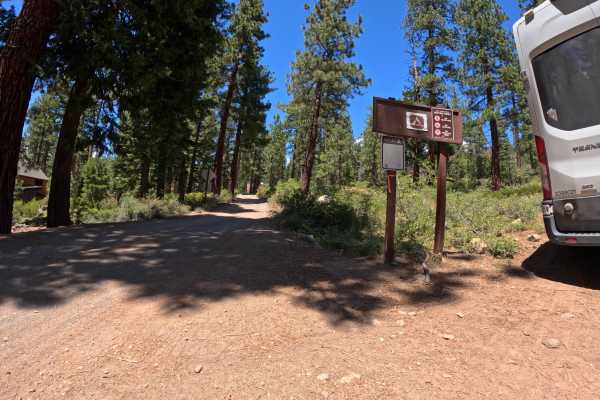
Beaver Street Extension - FS 16N86
Beginning from the back of the Brockway Vista neighborhood, the Beaver Street Extension - FS 16N86 sneaks into the forest as a nicely graded dirt road. It maintains an easy character until you pass the junction with FS 16N57. Here, the road takes a hard right and ascends a steep, loose hill, signifi...
Learn more about Beaver Street Extension - FS 16N86
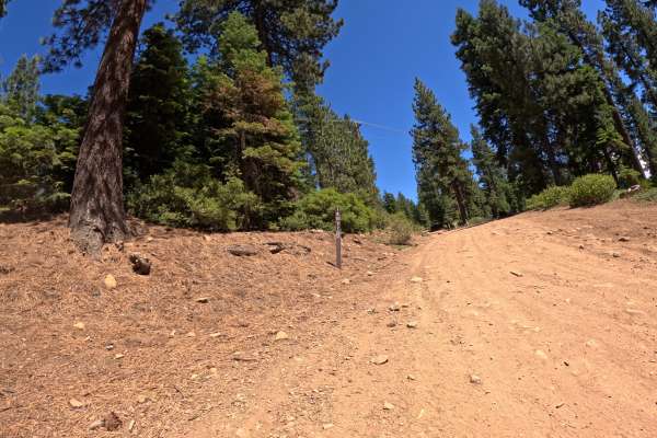
Red Cedar Overlook - FS 16N57
From the junction of FS 16N86, this route takes off to the right and begins climbing a rocky dirt road past some impressively large cedar trees. The road climbs at a steady grade up the hill. After navigating a couple of rock gardens, you quickly arrive at a spacious parking area surrounded by large...
Learn more about Red Cedar Overlook - FS 16N57
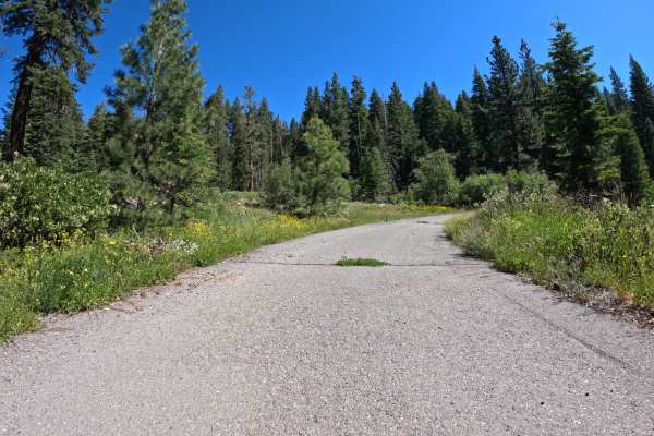
Martis Slope - FS 16N55
Martis Slope - FS 16N55 begins at the junction with Martis Peak Road - FS 17E02, starting as a mellow forest traverse across a beautiful mix of ponderosa pine and small meadows. The track is primarily dirt, with some loose-gravel sections. Once you pass the junction for Gas Line Road - FS 16N52, the...
Learn more about Martis Slope - FS 16N55
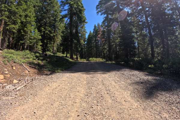
Martis Tie - FS 16N56
Martis Tie - FS 16N56 begins at the junction of FS 267, located directly across from the popular trailhead for Brockway Summit and the Tahoe Rim Trail. The start of this route is marked by a seasonally closed gate. Once past the gate, the trail begins a climb up a gentle grade, winding through a pon...
Learn more about Martis Tie - FS 16N56
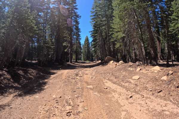
FS 16N92B
FS 16N92B is a nice mellow forest road that connects from Martis Peak Road. The route proceeds to the boundary where Sierra Pacific Industries' private property prevents further access. Towards the Martis Peak Road junction, there is a parking area located at the Tahoe Rim Trail junction. The surfac...
Learn more about FS 16N92B
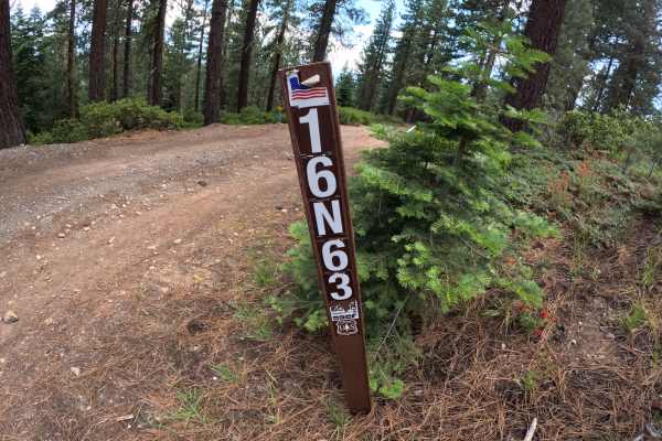
Carnelian Road - FS 16N63
Beginning from the back of the Agate Bay neighborhood, Carnelian Road - FS 16N63 climbs through a ponderosa pine forest at a moderate grade with minimal obstacles. Along the way, a couple of small obstacles provide passage as the trail continues to the junction of 73 - Mt. Watson Boulevard. Overall,...
Learn more about Carnelian Road - FS 16N63
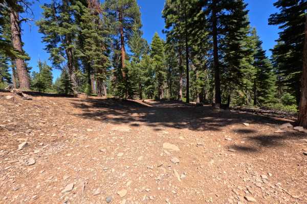
Shivagiri Extension - FS 16N95
The Shivagiri Extension climbs out of the back of Carnelian Bay, providing a good dirt road route up to the junction of Sawmill Flat. The lower portion of the road traverses through private property before crossing the boundary into Forest Service land. Overall, it is a straightforward Grade 1 drive...
Learn more about Shivagiri Extension - FS 16N95
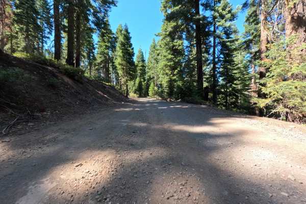
Sawmill Flat - FS 16N74
Sawmill Flat is a good gravel road that climbs out of the Carnelian Heights area. It winds through the forest and eventually comes to an end at the junction of Road 73. Along the way, this road crosses several other spur roads and trail junctions, offering decent parking options for those looking to...
Learn more about Sawmill Flat - FS 16N74
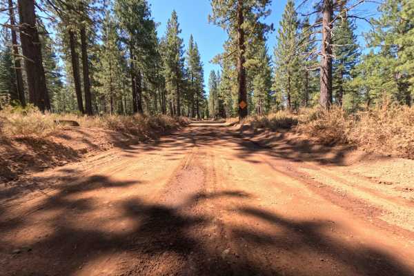
Sawtooth - FS 6
Sawtooth - FS 6, a beautiful and highly accessible forest route! Starting just behind a quiet Truckee neighborhood, this trail acts as a vital recreation thoroughfare, winding its way through a stunning, mature ponderosa pine forest before eventually connecting to the main east/west route, Mt Watson...
Learn more about Sawtooth - FS 6
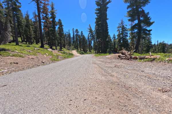
Watson Peak - FS 16N73E
This road climbs steeply up the hill, eventually terminating at a medium-sized turnout that offers a view of Lake Tahoe. The majority of the route is characterized by loose rocks (less than 12 inches) and rides as a solid Grade 2. However, a couple of short sections featuring larger rocks bump the o...
Learn more about Watson Peak - FS 16N73E
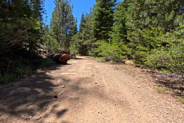
Wells Road
Wells Road is a narrow, scratchy trail that traverses down the hill alongside the Deer Creek Trail. It’s an easy-rated Grade 1 drive with no significant obstacles, but the tightness of the brush makes it less than ideal for full-size rigs. Towards the end of the track, the road narrows even further,...
Learn more about Wells Road

Watson Access - FS 16N71
Watson Access - FS 16N71 climbs out of the back of the Lake Forest neighborhood, passing through the edge of Burton Creek State Park. The road starts as good gravel with old sections of pavement, giving way to looser and rockier sections as it climbs to reach the junction of Road 73. Mostly riding a...
Learn more about Watson Access - FS 16N71

Sawtooth - Spur D
Beginning at mile marker 6 on the main Sawtooth Road, this spur heads west directly into the forest. The road can get a little narrow at times, making it a tight squeeze for full-size rigs.
Learn more about Sawtooth - Spur D
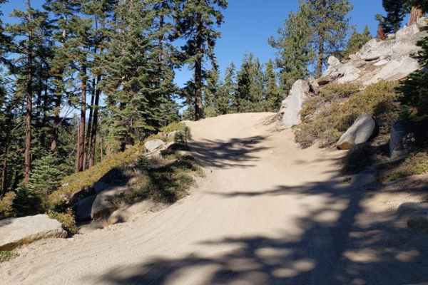
Genoa Peak Road - 41306
You'll get some great views of Lake Tahoe from this trail. It's a wide, single-lane gravel trail that's moderately to heavily used during the summer. The gates at both ends of the road are locked from November 15 to June 1st due to snowy conditions. It is recommended for 4x4s with high clearance, Je...
Learn more about Genoa Peak Road - 41306
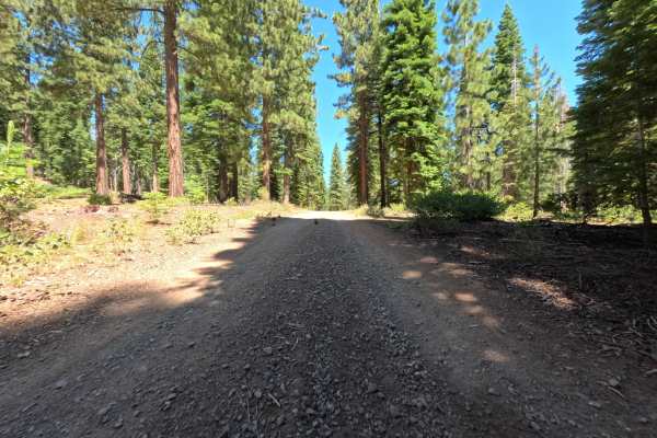
Bald Mountain Road
Bald Mountain Road is a gravel road that climbs from Bell Road up towards Bald Mountain. As you ascend, several mountain bike trail junctions cross the road. The road eventually ends at a large logging turnout. It is an easy drive with no significant obstacles, making it highly accessible for most s...
Learn more about Bald Mountain Road
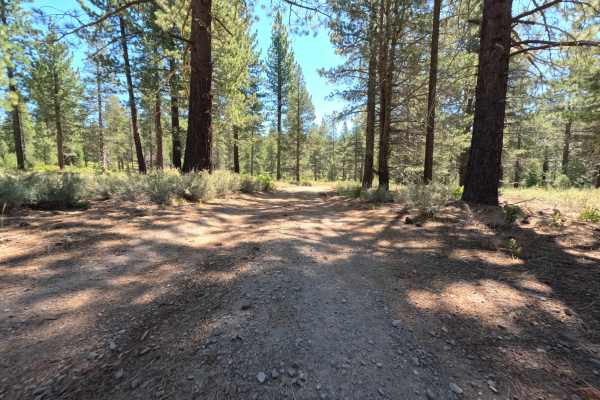
Bell - FS 6
Bell - FS 6 is a flat, easy dirt and gravel road that heads out through the forest. The route serves as a quick transit path, leading to a large logging turnaround area. From this turnaround, drivers can access connecting routes, specifically Bald Mtn Rd. and 16E05. There are no significant obstacle...
Learn more about Bell - FS 6
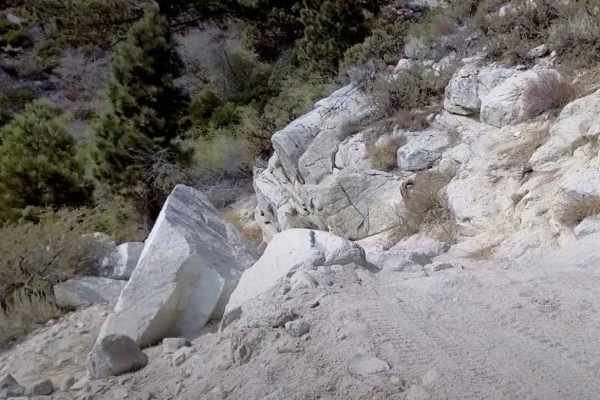
Kings Canyon Road
Kings Canyon Road (Forest Road 41039) is a solid choice for offroaders looking for a moderate 4x4 trail near Carson City, Nevada, with easy access to Tahoe and the Sierras. This route is ideal for high-clearance vehicles, side-by-sides, dirt bikes, and adventurous ATVs, especially during the snow-fr...
Learn more about Kings Canyon Road
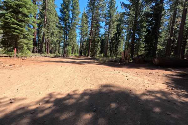
Sawtooth Spur C - FS 6-6
Heading east from the middle Sawtooth trailhead, this route starts as a good, wide dirt road traversing through a beautiful ponderosa pine forest. It leads out to a large logging turnout. From the turnout, the road drops to the left and increases to a Level 2 difficulty, transitioning into a narrowe...
Learn more about Sawtooth Spur C - FS 6-6
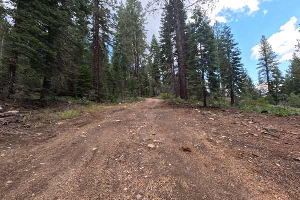
Deep Creek - FS 89-015
This scenic out-and-back route begins right at the junction of Highway 89, heading west into a beautiful, dense pine forest. The journey starts out on a well-maintained, wide gravel and dirt road, gently following the natural, shaded lines of the Deep Creek drainage. As you venture deeper into the w...
Learn more about Deep Creek - FS 89-015
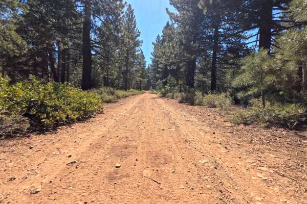
Sawtooth Spur B - FS - 6-4
Sawtooth - Spur B - FS 6 - 4 starts past an open seasonal gate, giving access to a nicely graded forest road. The dirt road winds past several mountain bike trail junctions before ultimately ending in a large logging turnaround area. Important Note: the road does NOT extend beyond the end of this tr...
Learn more about Sawtooth Spur B - FS - 6-4
Beginner ATV trails near Crystal Bay, Nevada
Explore ATV-friendly trails near you. These trails are accessible for vehicles up to 50 inches wide, perfect for ATVs and smaller off-road machines.
Beaver Street Extension - FS 16N86
Beginning from the back of the Brockway Vista neighborhood, the Beaver Street Extension - FS 16N86 sneaks into the forest as a nicely graded dirt road. It maintains an easy character until you pass the junction with FS 16N57. Here, the road takes a hard right and ascends a steep, loose hill, signifi...
Learn more about Beaver Street Extension - FS 16N86
Red Cedar Overlook - FS 16N57
From the junction of FS 16N86, this route takes off to the right and begins climbing a rocky dirt road past some impressively large cedar trees. The road climbs at a steady grade up the hill. After navigating a couple of rock gardens, you quickly arrive at a spacious parking area surrounded by large...
Learn more about Red Cedar Overlook - FS 16N57
Martis Slope - FS 16N55
Martis Slope - FS 16N55 begins at the junction with Martis Peak Road - FS 17E02, starting as a mellow forest traverse across a beautiful mix of ponderosa pine and small meadows. The track is primarily dirt, with some loose-gravel sections. Once you pass the junction for Gas Line Road - FS 16N52, the...
Learn more about Martis Slope - FS 16N55
Martis Tie - FS 16N56
Martis Tie - FS 16N56 begins at the junction of FS 267, located directly across from the popular trailhead for Brockway Summit and the Tahoe Rim Trail. The start of this route is marked by a seasonally closed gate. Once past the gate, the trail begins a climb up a gentle grade, winding through a pon...
Learn more about Martis Tie - FS 16N56
Beginner UTV/side-by-side trails near Crystal Bay, Nevada
Find UTV and side-by-side trails near you. These trails accommodate vehicles up to 60 inches wide, ideal for UTVs, side-by-sides, and wider off-road rigs.
Beaver Street Extension - FS 16N86
Beginning from the back of the Brockway Vista neighborhood, the Beaver Street Extension - FS 16N86 sneaks into the forest as a nicely graded dirt road. It maintains an easy character until you pass the junction with FS 16N57. Here, the road takes a hard right and ascends a steep, loose hill, signifi...
Learn more about Beaver Street Extension - FS 16N86
Red Cedar Overlook - FS 16N57
From the junction of FS 16N86, this route takes off to the right and begins climbing a rocky dirt road past some impressively large cedar trees. The road climbs at a steady grade up the hill. After navigating a couple of rock gardens, you quickly arrive at a spacious parking area surrounded by large...
Learn more about Red Cedar Overlook - FS 16N57
Martis Slope - FS 16N55
Martis Slope - FS 16N55 begins at the junction with Martis Peak Road - FS 17E02, starting as a mellow forest traverse across a beautiful mix of ponderosa pine and small meadows. The track is primarily dirt, with some loose-gravel sections. Once you pass the junction for Gas Line Road - FS 16N52, the...
Learn more about Martis Slope - FS 16N55
Martis Tie - FS 16N56
Martis Tie - FS 16N56 begins at the junction of FS 267, located directly across from the popular trailhead for Brockway Summit and the Tahoe Rim Trail. The start of this route is marked by a seasonally closed gate. Once past the gate, the trail begins a climb up a gentle grade, winding through a pon...
Learn more about Martis Tie - FS 16N56
The onX Offroad Difference
onX Offroad combines trail photos, descriptions, difficulty ratings, width restrictions, seasonality, and more in a user-friendly interface. Available on all devices, with offline access and full compatibility with CarPlay and Android Auto. Discover what you're missing today!
Open Trail Map