FS 16N92B

Total Miles0.7
Technical Rating
2Easy
Best TimeSummer, Fall
Trail TypeFull-Width Road
Accessible By
Open Trail Map

Trail Overview

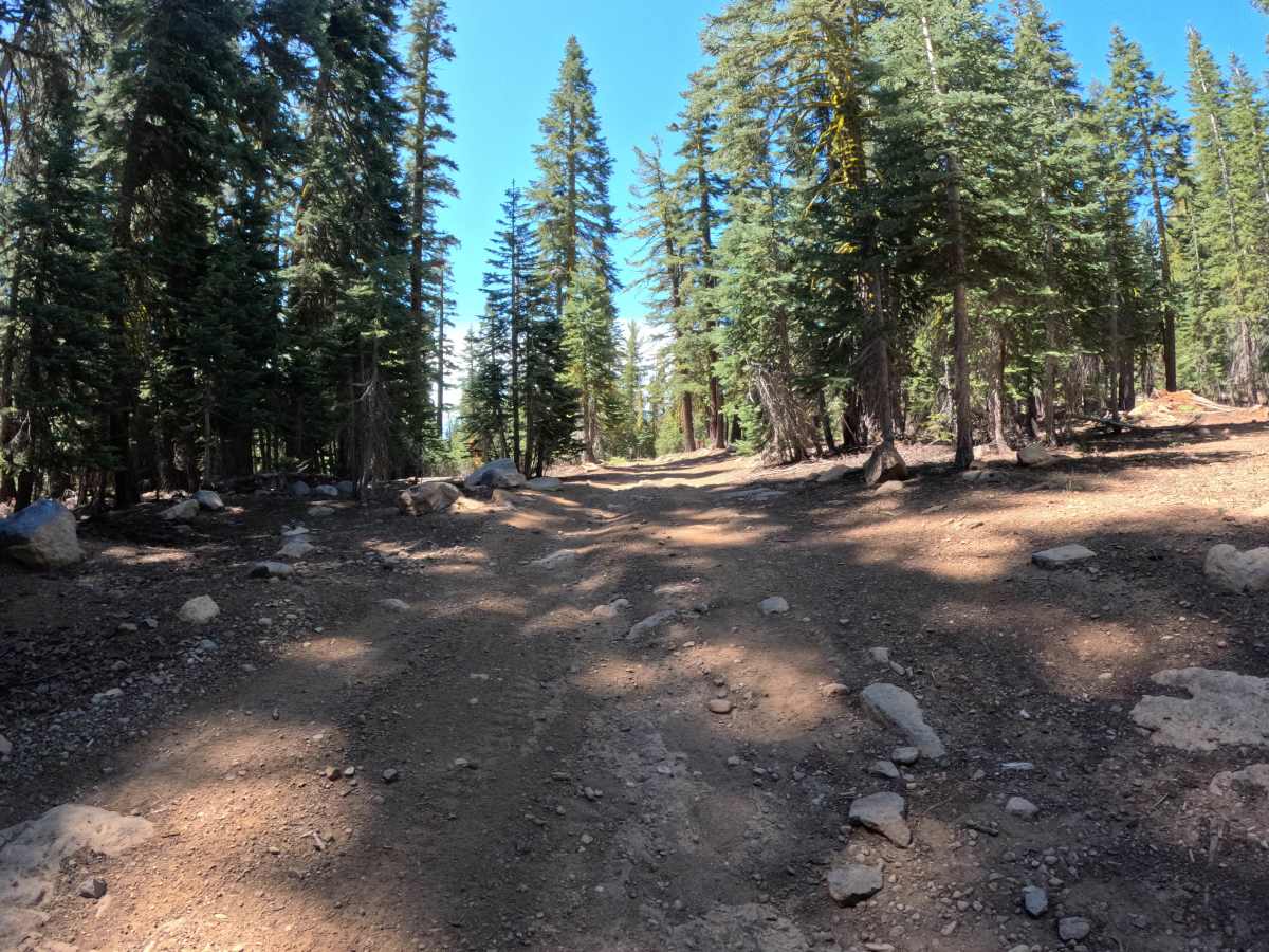
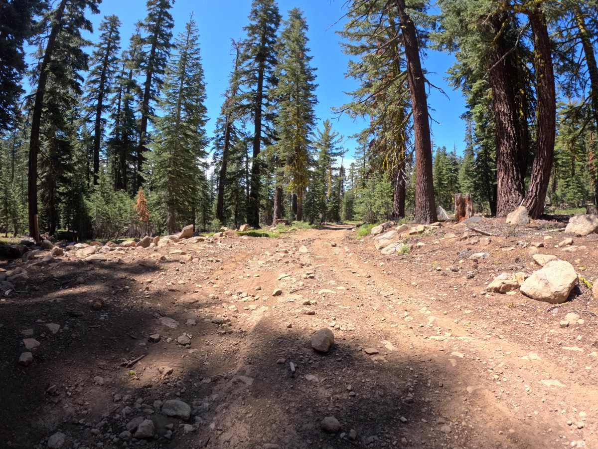
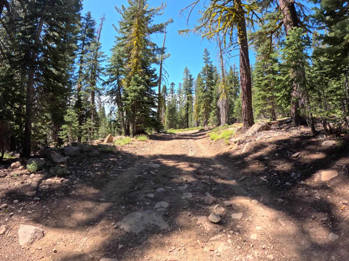
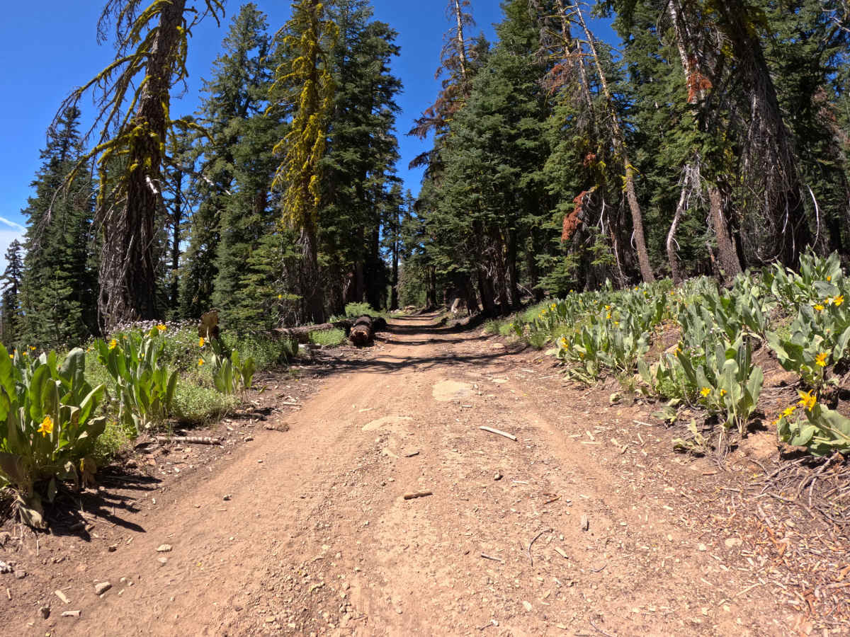
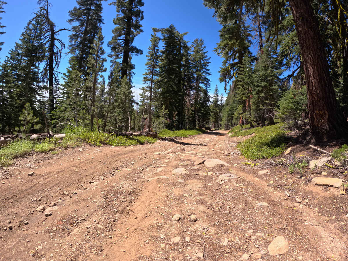
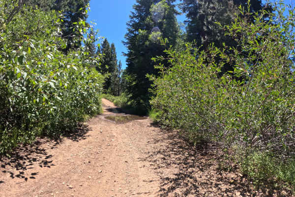
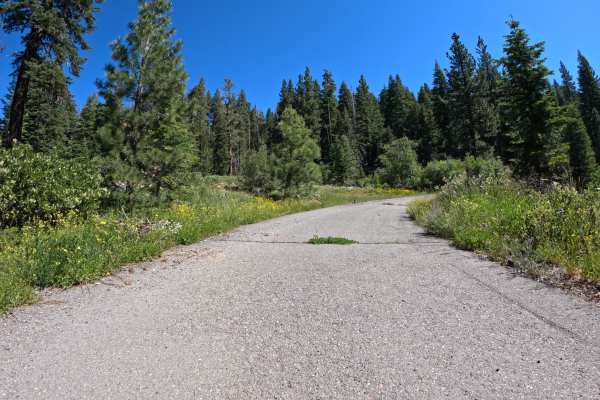
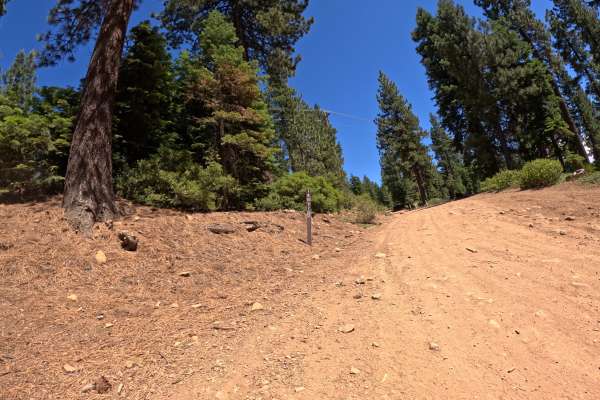
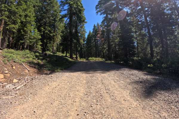
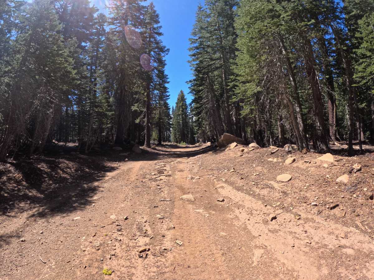
FS 16N92B is a nice mellow forest road that connects from Martis Peak Road. The route proceeds to the boundary where Sierra Pacific Industries' private property prevents further access. Towards the Martis Peak Road junction, there is a parking area located at the Tahoe Rim Trail junction. The surface is a dirt forest road with little elevation change. Throughout the drive, you will encounter small sections of embedded rocks in the 4-to-6-inch range

Photos of FS 16N92B

Difficulty

This trail earns a Level 2 rating. While it is a generally flat and mellow dirt road, the presence of minor ruts and small sections of embedded rocks in the 4-to-6-inch range bumps it slightly above a basic graded surface.

Technical Rating

2

FS 16N92B Trail can be accessed by the following ride types:

  • Single Track
  • 50 Inch
  • 60 Inch
  • High Clearance
  • Full Width

FS 16N92B Map

The onX Offroad Difference

onX Offroad combines trail photos, descriptions, difficulty ratings, width restrictions, seasonality, and more in a user-friendly interface. Available on all devices, with offline access and full compatibility with CarPlay and Android Auto. Discover what you're missing today!

Open Trail Map