Trail Overview
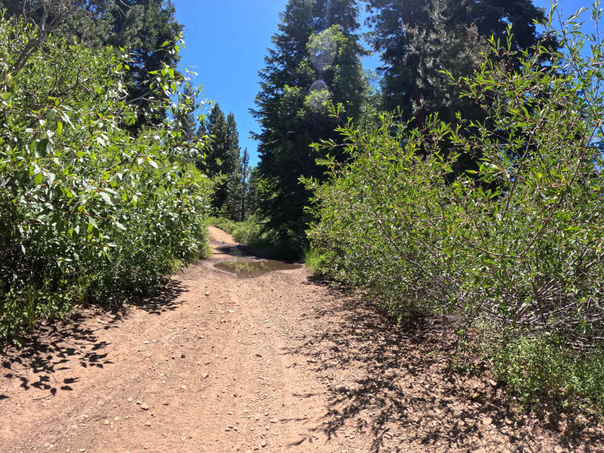
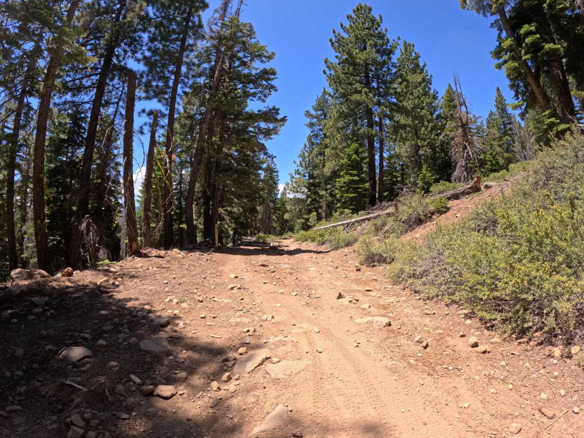
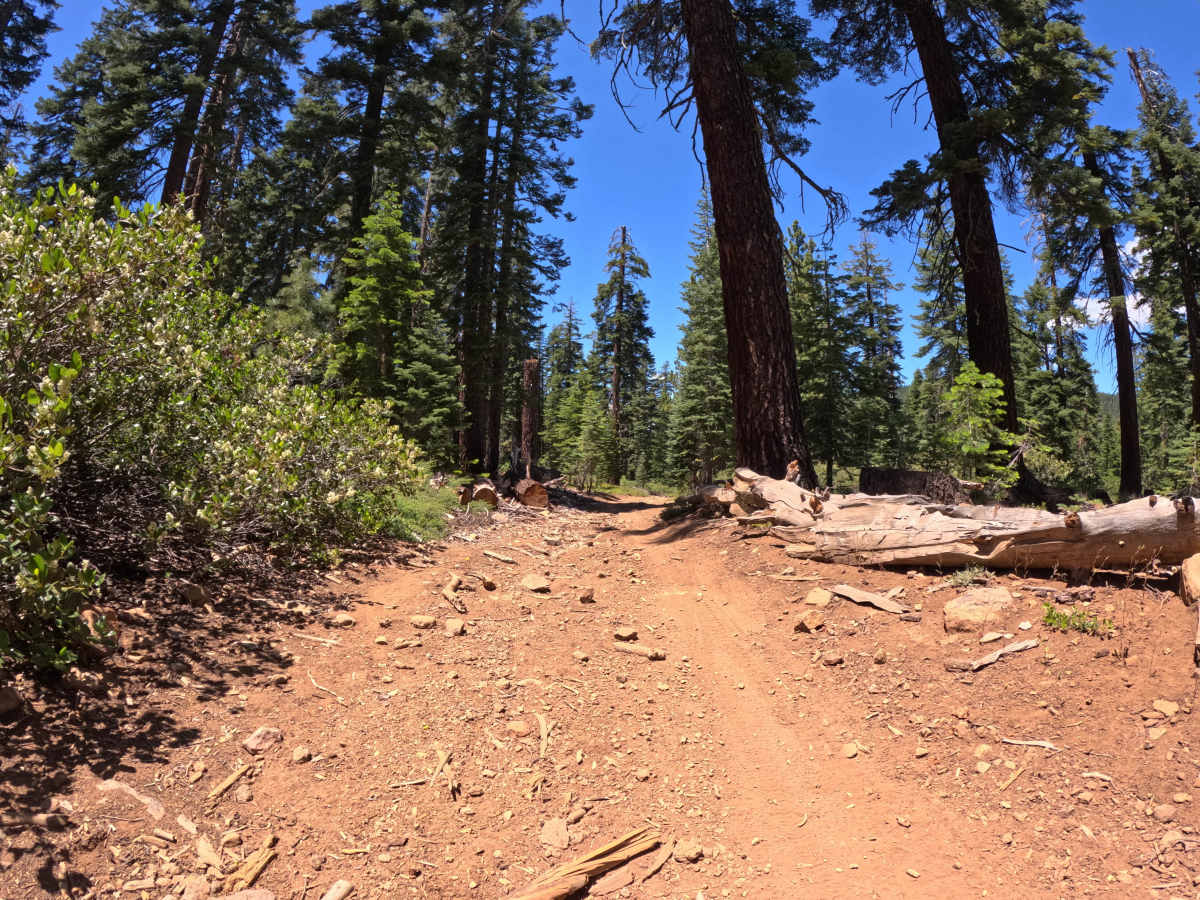
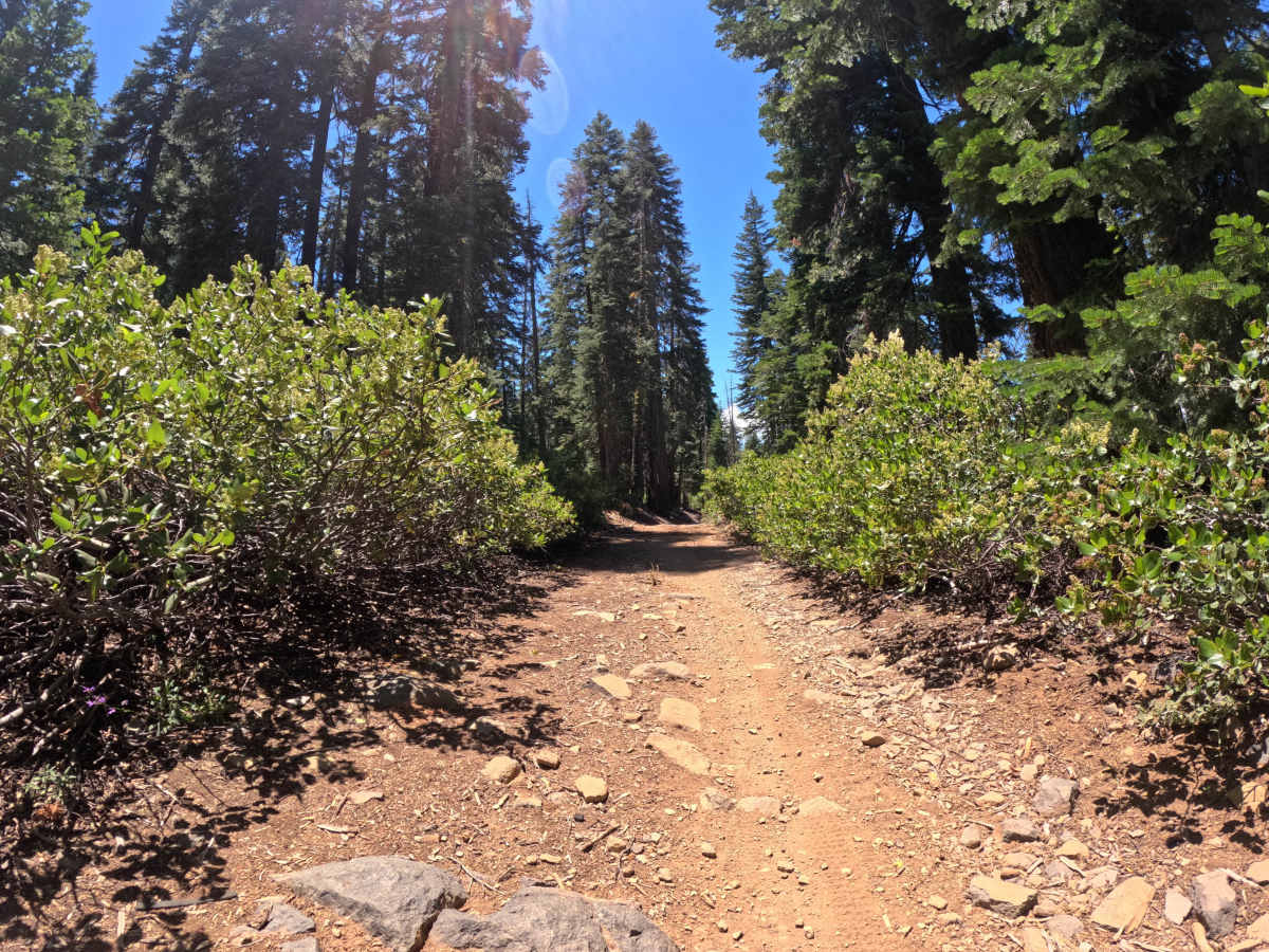
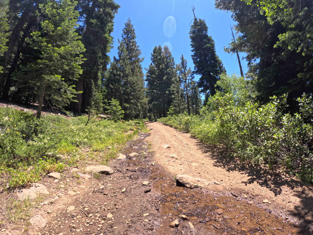
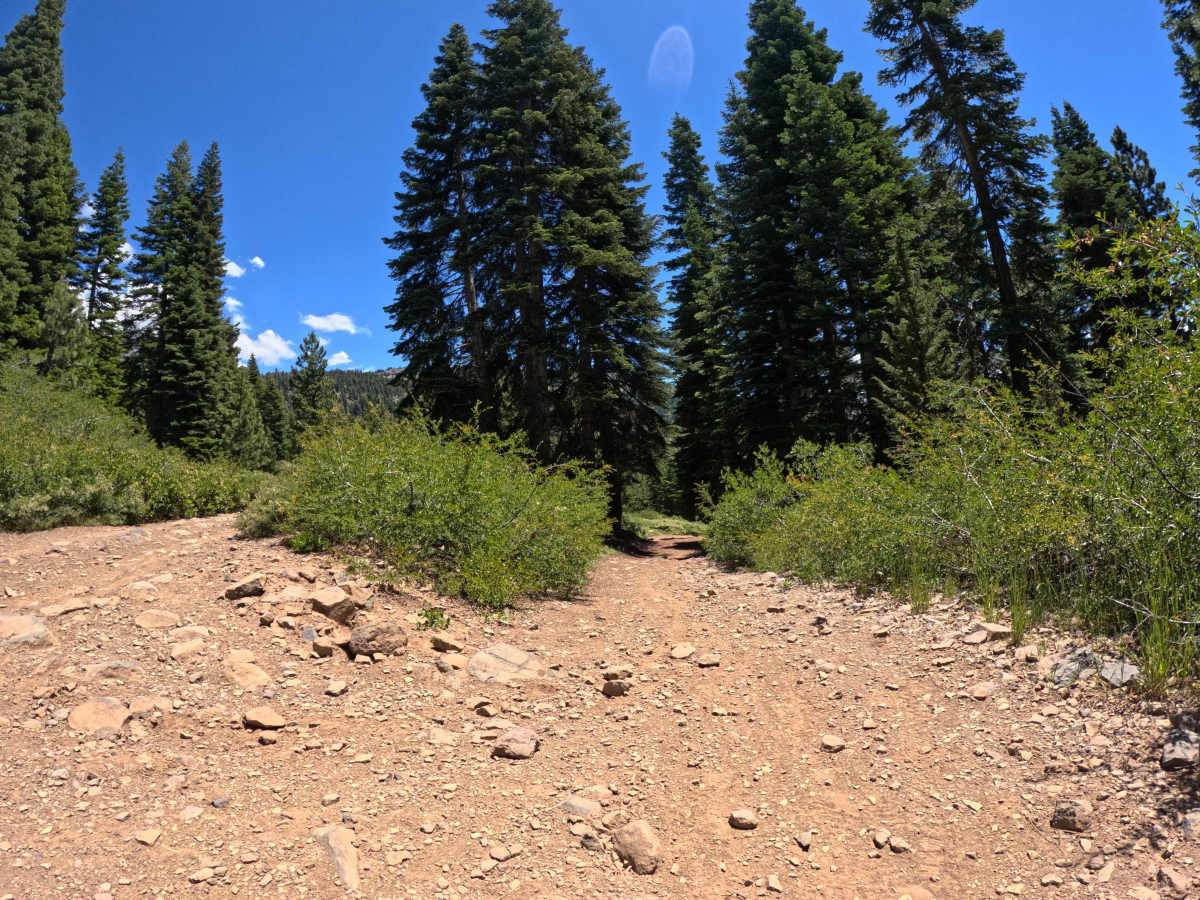
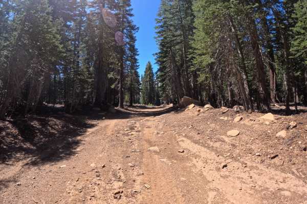
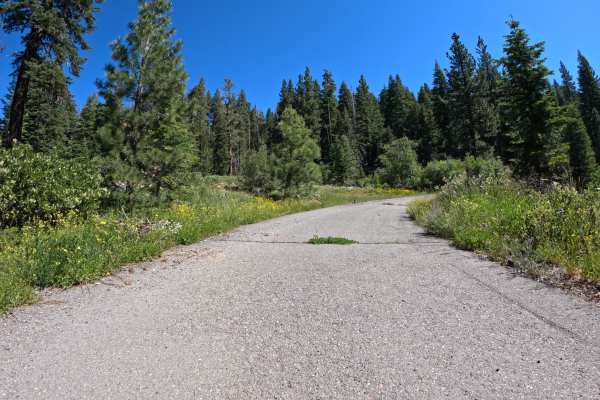
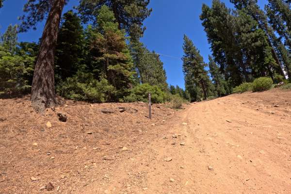
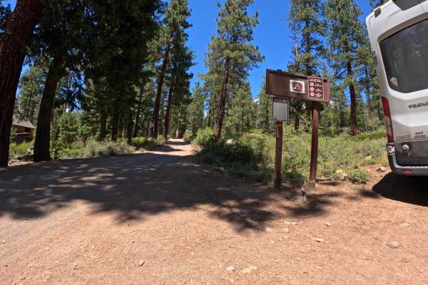
Gas Line Rd - FS 16N52 is a challenging 4.2-mile trail. If approaching from the bottom at the junction with Highway 267, you will quickly reach a wooden bridge. Important Note: Crossing this bridge in a full-size vehicle is NOT recommended. After the bridge, the road climbs steeply through boulder gardens featuring rocks up to 12 inches and becomes very narrow and overgrown. Some steep and loose climbs lead into off-camber and rutted sections of road, showing erosion from poor drainage. Overall, the route is a mix of overgrown, narrow Level 2-3 sections intermixed with some steep, loose Level 4 segments. It is very narrow and scratchy, making it unsuitable for full-size vehicles.
Difficulty
The trail earns a Level 4 rating due to steep and loose climbs, off-camber rutted sections with poor drainage and erosion, and boulder gardens featuring rocks up to 12 inches. Intermixed with easier sections, these difficult spots—along with severe overgrowth—make the trail highly technical and tight.