Trail Overview
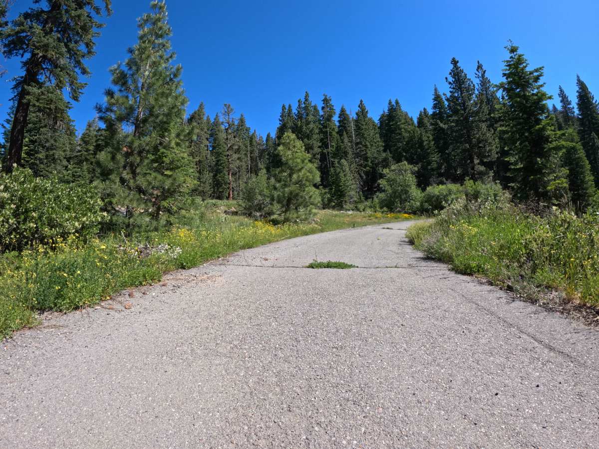
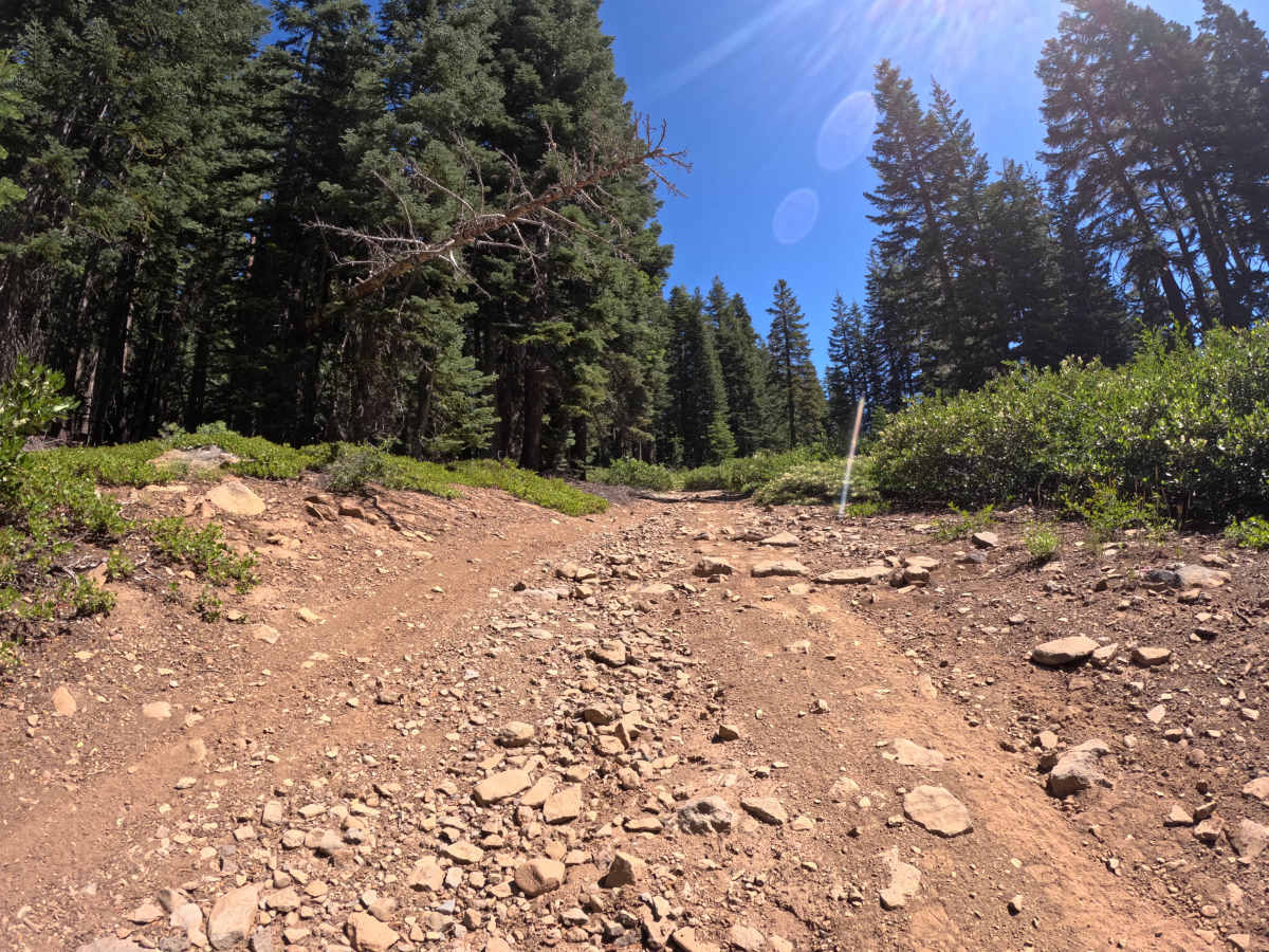
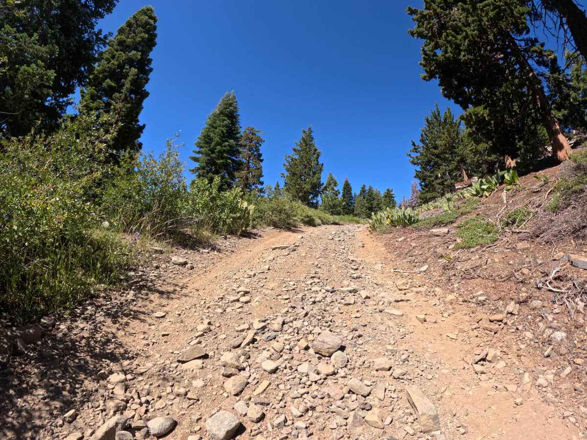
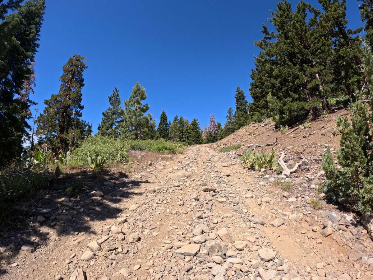
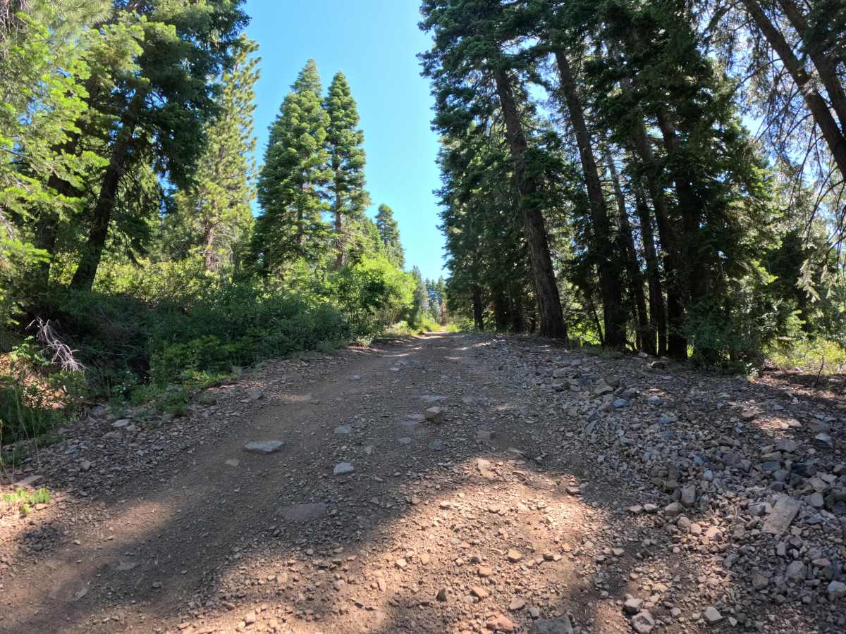
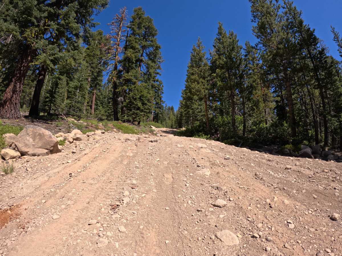
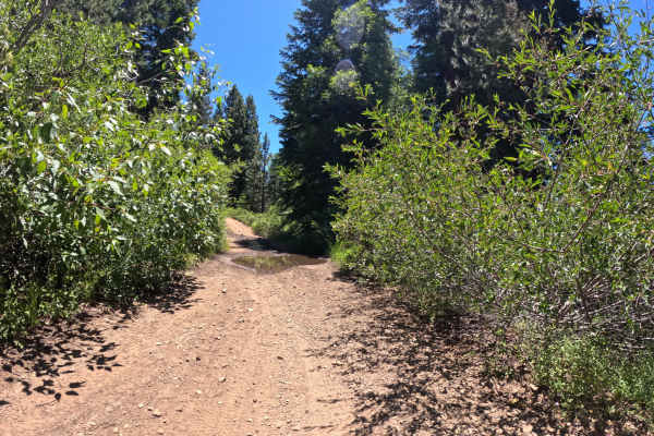
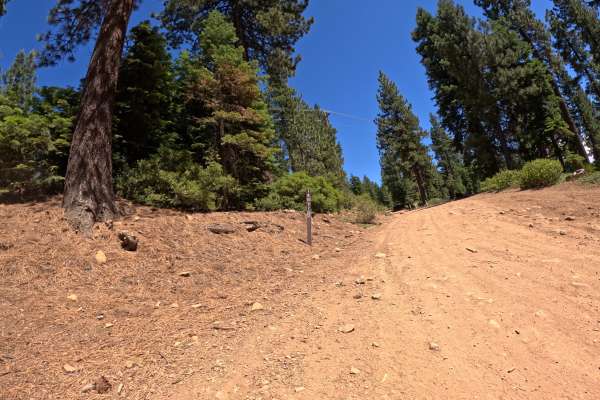
Martis Slope - FS 16N55 begins at the junction with Martis Peak Road - FS 17E02, starting as a mellow forest traverse across a beautiful mix of ponderosa pine and small meadows. The track is primarily dirt, with some loose-gravel sections. Once you pass the junction for Gas Line Road - FS 16N52, the road character begins to change as it climbs more steeply, culminating in a bumpy boulder garden climb up to the junction of FS 16N92B. While the majority of the route stays within the Level 2 difficulty range (with occasional Level 3 rocky sections), the absolute highlight of the trail sits right at the very end. At the junction of FS 16N92B, drivers must tackle a steep, punchy 100-foot section of solid Level 4 trail filled with large loose rocks that requires some skillful tire placement and momentum to clear smoothly.
Difficulty
The trail earns a Level 3 rating overall due to its steep climbs and steady rock gardens past the halfway mark. However, the short 100-foot punch right at the 16N92B junction scales up to a solid Level 4, throwing a steep pitch and chunky loose boulders at your rig that will require high clearance, good traction, and a steady foot.