Trail Overview
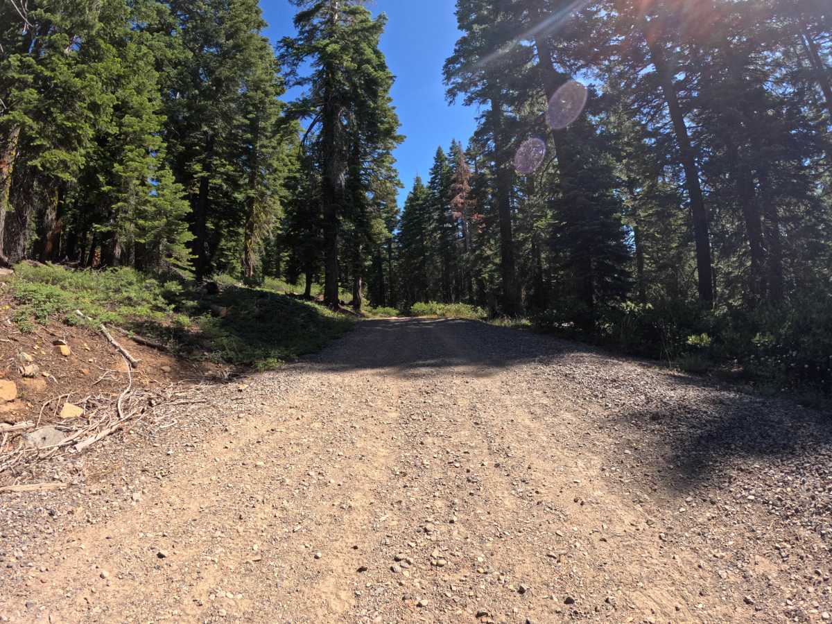
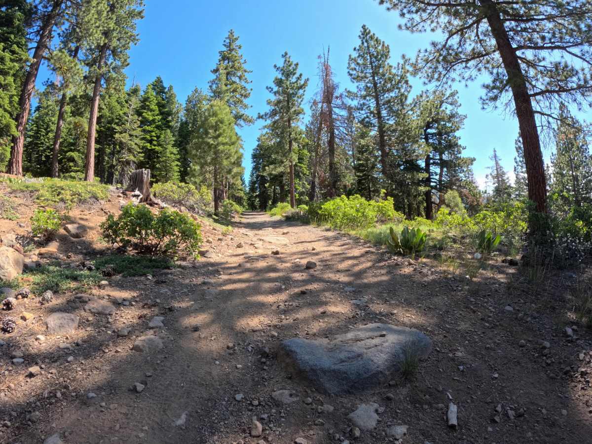
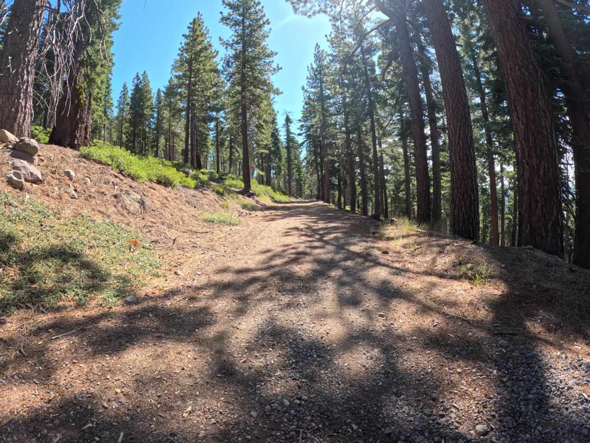
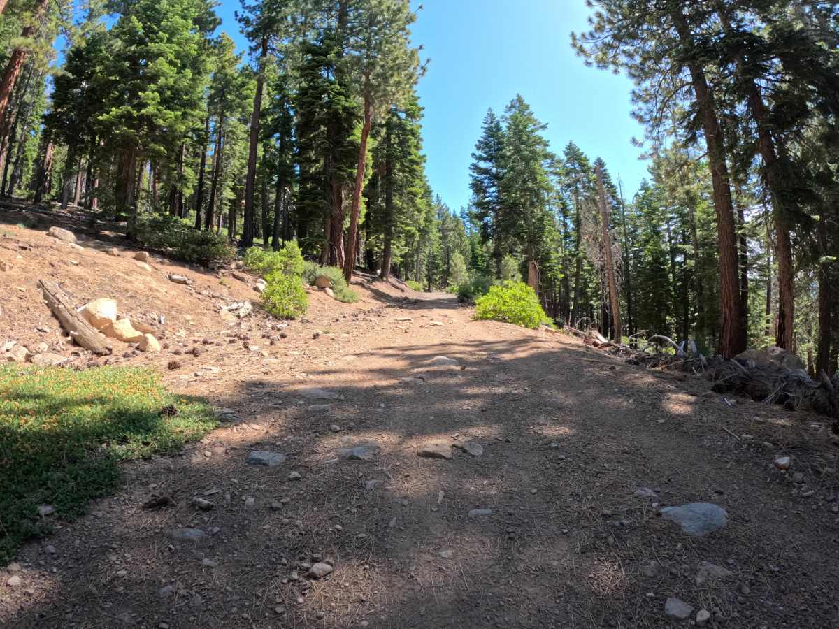
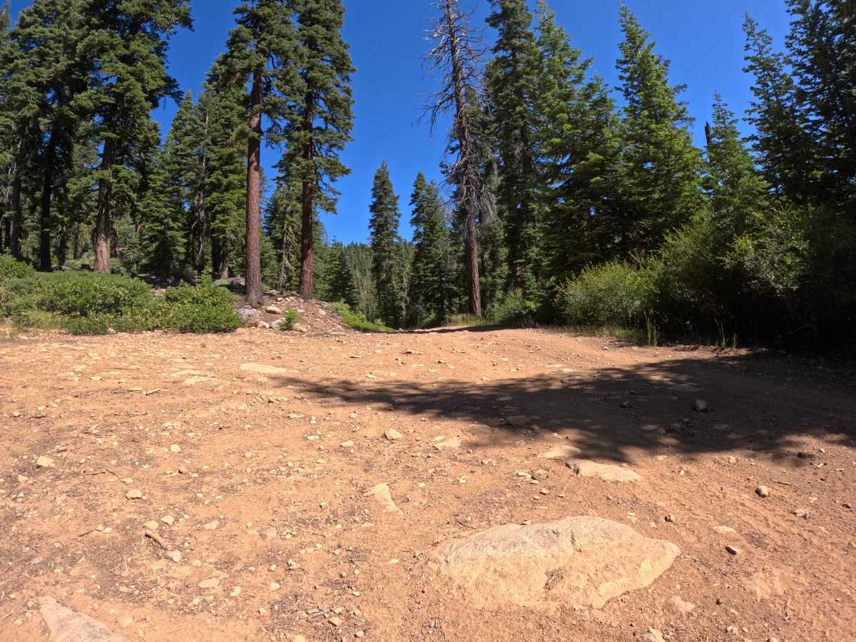
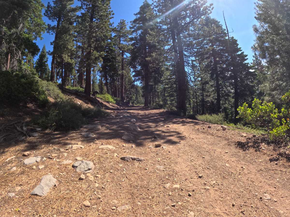
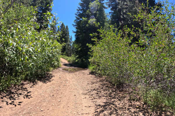
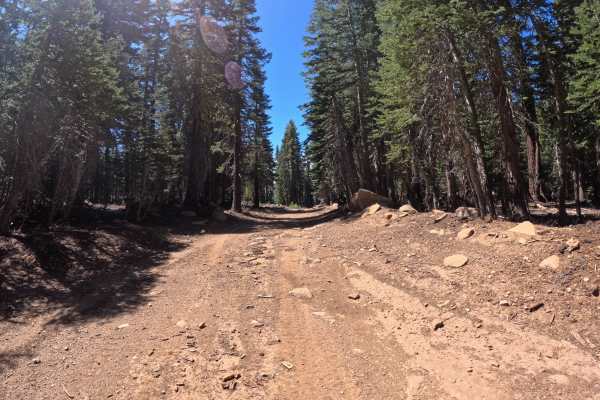
Martis Tie - FS 16N56 begins at the junction of FS 267, located directly across from the popular trailhead for Brockway Summit and the Tahoe Rim Trail. The start of this route is marked by a seasonally closed gate. Once past the gate, the trail begins a climb up a gentle grade, winding through a ponderosa pine forest and offering occasional scenic views through the trees down to Lake Tahoe. The route is generally a single-car-width dirt and gravel road that maintains a consistent character all the way to its junction with FS 16N55 - Martis Slope. While primarily narrow, there are occasional wider points that allow vehicles to pass or turn around. The surface features embedded rocks in the 4-to-6-inch range, providing a bumpy ride but remaining easily accessible.
Difficulty
The trail earns a solid Level 2 rating. It climbs a gentle grade on a dirt and gravel surface, but the presence of embedded 4-6" rocks and mild ruts creates a slightly bumpy ride that elevates it above a basic graded road.