Kings Canyon Road

Total Miles9.3
Technical Rating
3Easy
Best TimeSummer
Trail TypeHigh-Clearance 4x4 Trail
Accessible By
Open Trail Map

Trail Overview

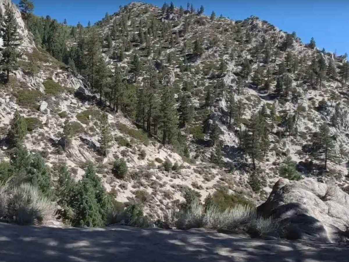
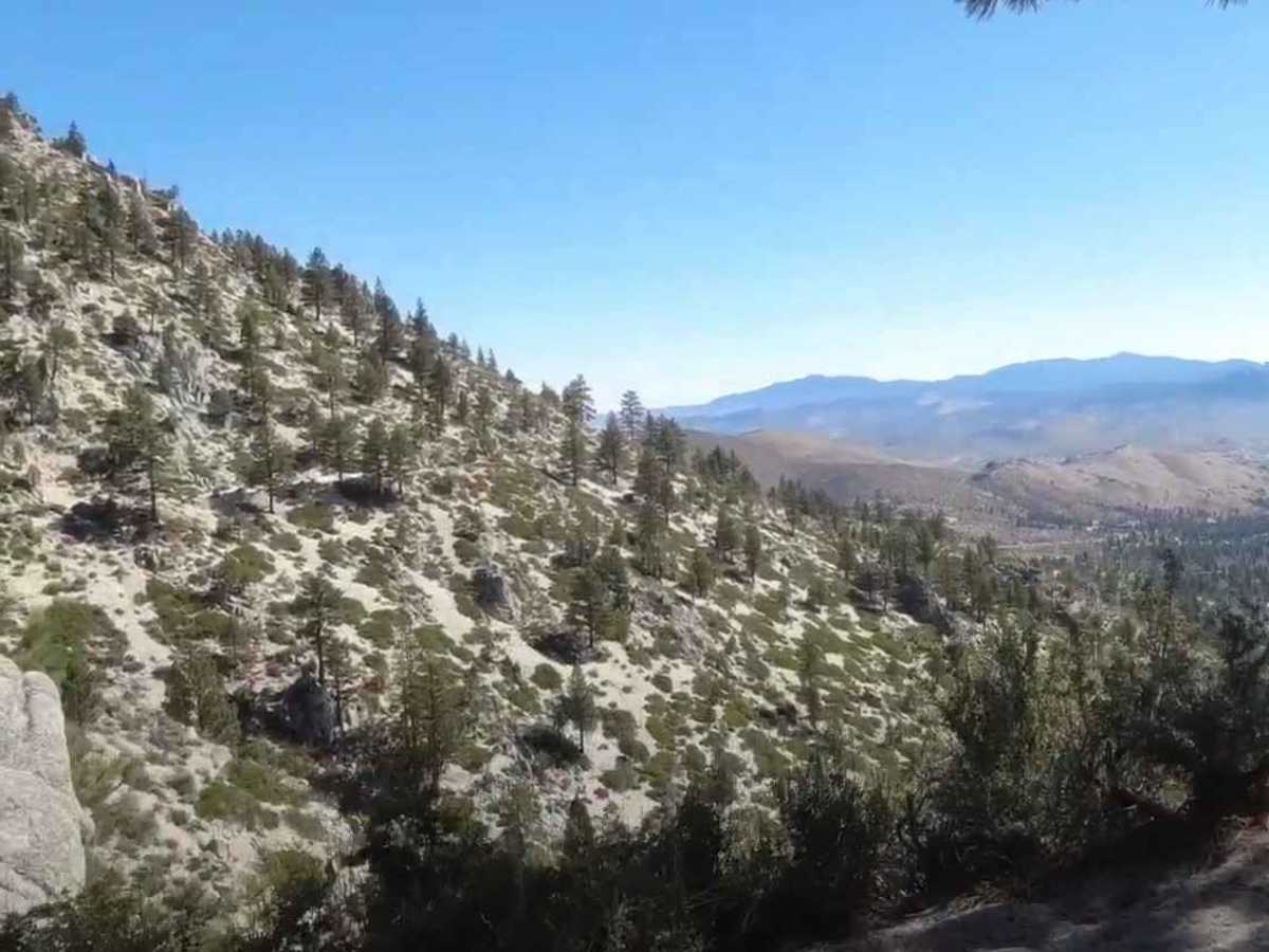
Kings Canyon Road is a moderate 9.3-mile point-to-point offroad trail near Carson City, Nevada, climbing over 1,960 feet through the Carson Range to provide a scenic connection toward Lake Tahoe.

Photos of Kings Canyon Road

Difficulty

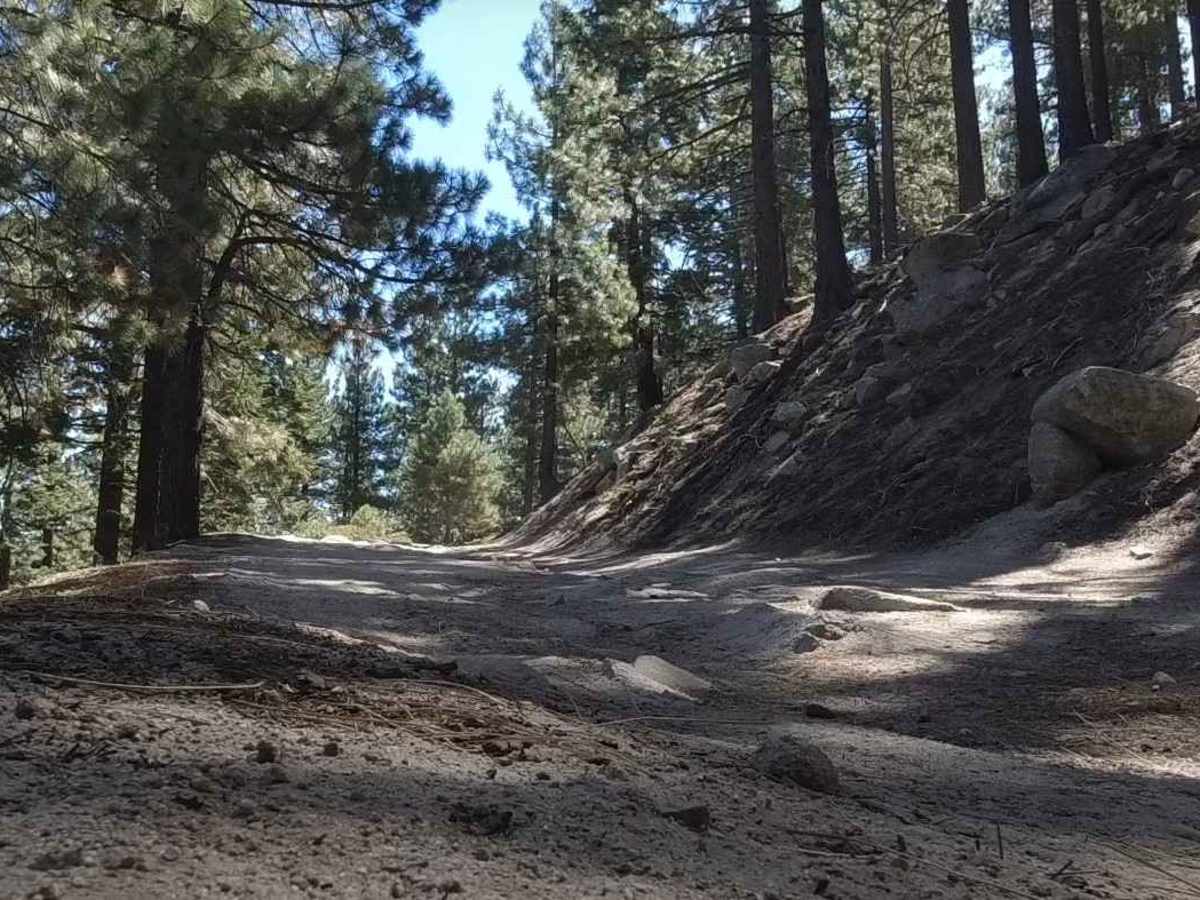
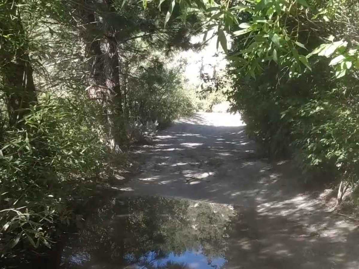
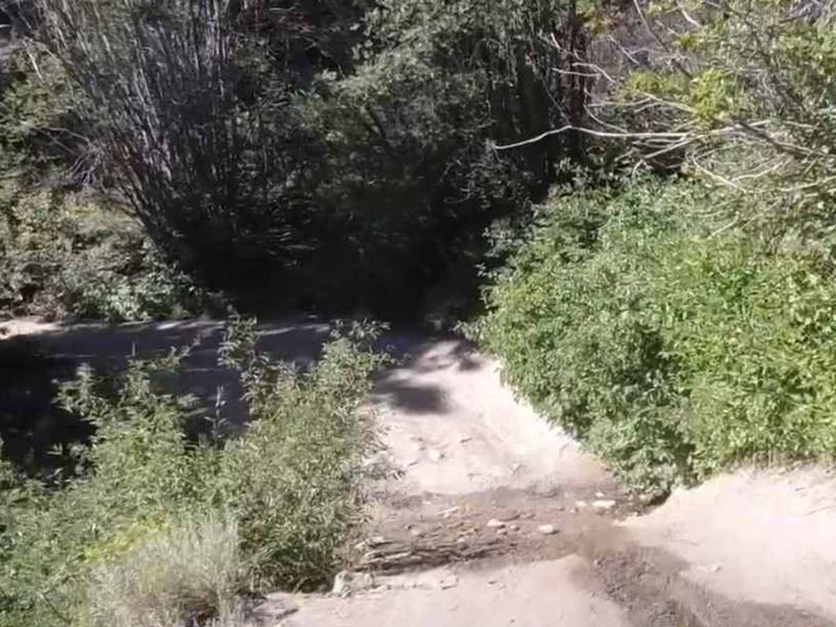
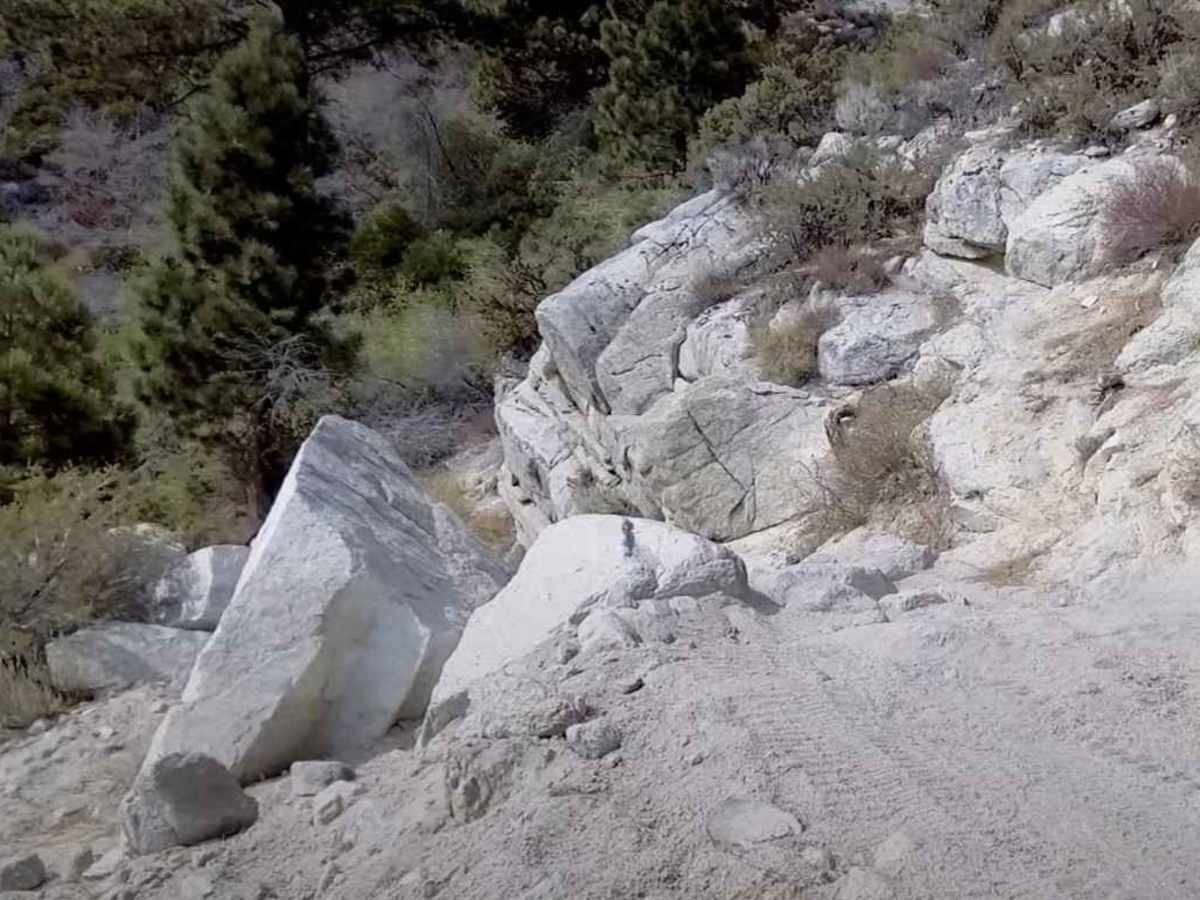
Trail consisting of loose rocks, dirt, and sand with some slickrock surfaces; mud holes possible; no steps higher than 12 inches. 4WD may be required, aggressive tires a plus.

History

Kings Canyon Trail was originally built in the early 1860s by early Nevada settlers as a transit trail across the Sierras as well as a timber and mining trail. The original trail was completed in 1863.

Technical Rating

3

Status Reports

Add Status Report
ClaytonW W
yesterday
2026 Jeep Rubicon
Open
Normal
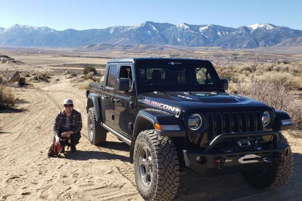
Kings Canyon Road is about 9 miles long and took us roughly one hour. Most of the trail is a relatively easy, fast sandy/dirt road, but the current 3/10 Easy rating can be misleading. The description says “4WD may be required.” I would go considerably further: do not attempt this trail without a real 4WD high-clearance vehicle. There are several spots where good approach, departure, and breakover angles are essential, and there are also sections where some pinstriping from branches is difficult to avoid. About halfway through the trail is a short rocky section that determines most of the overall difficulty. It is currently easier than it has been in previous years, but it still requires careful tire placement and good clearance. This one obstacle is enough that I could reasonably see the trail rated 4/10 / Moderate, even though most of the remaining nine miles are closer to an easy trail. A stock Wrangler or similar proper 4x4 should have no problem with an experienced driver.

Kings Canyon Road Trail can be accessed by the following ride types:

  • Single Track
  • 50 Inch
  • 60 Inch
  • High Clearance

Access Description

The route is managed by the U.S. Forest Service under the Humboldt-Toiyabe National Forest, Carson Ranger District. OHVs are permitted on the forest road; however, vehicles must be street-legal if continuing onto paved highways like US-50 or returning via public roads. The trail is subject to seasonal closures due to winter snowpack, typically opening in late spring and closing in late fall. No permit is required for driving, but users should check the current Motor Vehicle Use Map (MVUM) for active restrictions or wildfire-related closures.

Kings Canyon Road Map

The onX Offroad Difference

onX Offroad combines trail photos, descriptions, difficulty ratings, width restrictions, seasonality, and more in a user-friendly interface. Available on all devices, with offline access and full compatibility with CarPlay and Android Auto. Discover what you're missing today!

Open Trail Map