
Beginner Off-Road Trails
Near Cle Elum, Washington
Explore All Beginner Trails Near Cle Elum, Washington
Beginner Off-Road Trails Near Cle Elum, Washington
Discover the best beginner-friendly off-road trails near you. These easier, lower-rated trails are a great place to start — browse trail maps, check difficulty ratings, and find your next adventure.
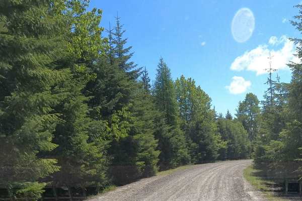
Lankin Loop - NF3350-119
Lankin Loop - NF3350-119 is an easy, scenic 2-mile gravel connector ideal for beginner overlanders and families looking to explore the scenic ridges of the Wenatchee National Forest. This maintained Forest Service road links the high elevations of South Cle Elum Ridge down to Miners Point Road and t...
Learn more about Lankin Loop - NF3350-119
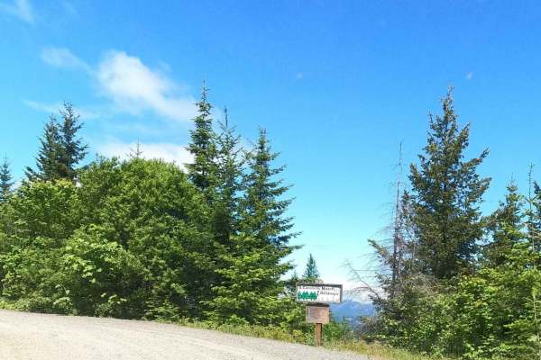
South Cle Elum Ridge - NF3350
South Cle Elum Ridge - NF3350 offers scenic and accessible driving for overlanders, beginners, and families seeking a scenic gateway into the Okanogan-Wenatchee National Forest. This 6.5-mile maintained gravel route serves as a crucial segment of a massive 60-mile north-south overland passage connec...
Learn more about South Cle Elum Ridge - NF3350
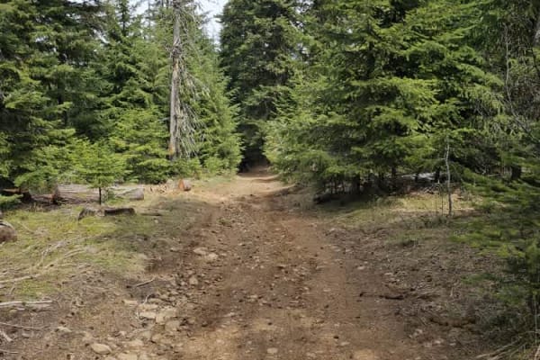
3350-114
The trail leads you into high alpine terrain, offering stunning views of the valleys and meadows of the Wenatchee National Forest. Wildlife is abundant along the route, and you may have a good chance of spotting deer or elk while traversing the trail. In early summer, wildflowers bloom beautifully. ...
Learn more about 3350-114
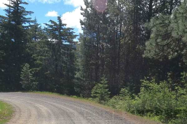
Miners Point - NF3300-133
Miners Point is a 2.5-mile maintained gravel Forest Service road above the North Fork of Taneum Creek, spurring off Taneum Road at the Taneum Junction. This is a segment of a larger north-south 60-mile overlanding route connecting Cle Elum and the Highway 90 corridor to Nile on the Highway 410 corri...
Learn more about Miners Point - NF3300-133
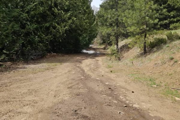
Lower South Cle Elum Ridge
The trail is rated as level 1 and winds through a thick forest with no major obstacles, aside from occasional squirrels. The view at Taneum Point is breathtaking on a clear day. Be sure to check out the US Geological Survey marker for Taneum Point. The trail can be dusty, so wearing a bandana is rec...
Learn more about Lower South Cle Elum Ridge
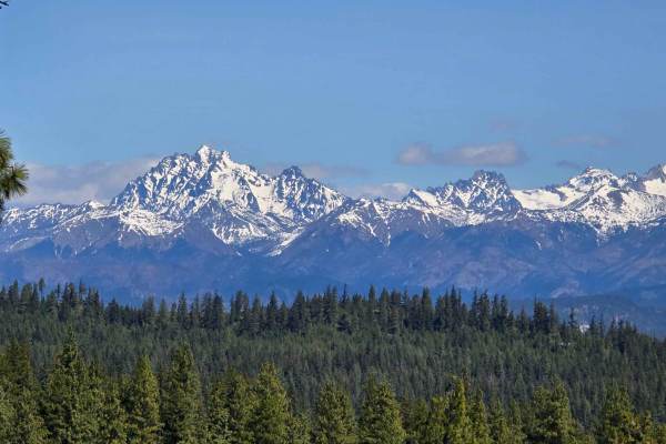
Skull Springs - E1730
This trail winds through a lush, thick forest, and the views of the Cascades make it truly worthwhile. You won't encounter any major obstacles--just the occasional squirrel with a bit too much adventure in its heart! Although I didn't see any other riders during my visit, the trail was a bit dusty,...
Learn more about Skull Springs - E1730
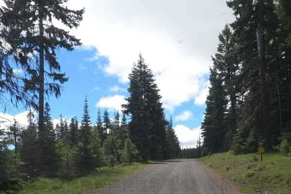
Gnat Flat - NF3300
Gnat Flat is a 8.5-mile, maintained gravel forest service road connecting West Taneum Road up through Gnat Flat to Tamarack Springs Road at roughly 5,000'. This is a segment of a larger North-South 60-mile Overlanding route connecting Cle Elum and the Highway 90 Corridor to Nile on the Highway 410 c...
Learn more about Gnat Flat - NF3300
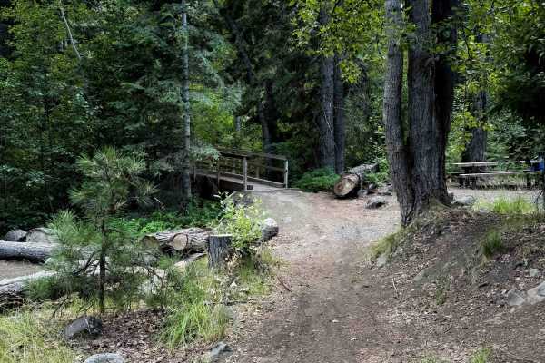
Taneum Cub Trail - FS 1370
This is a short route near the Ice Water Campground that is designed for newer or younger riders, as it likely won’t have much traffic on it, being accessed directly from the campground, but it does have a few moderate technical features such as a couple of small rocky stream crossings, mild exposur...
Learn more about Taneum Cub Trail - FS 1370
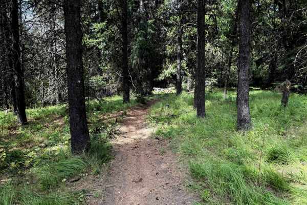
Gooseberry Flat - FS 1227
This is a short and easy dirt bike trail through the Wenatchee National Forest. The north entrance starts at the Taneum Junction Campground and staging area. It is overall a fun forested trail that follows a wide but shelfy traverse following the curvature of the mountains. It is a semi-gradual asce...
Learn more about Gooseberry Flat - FS 1227
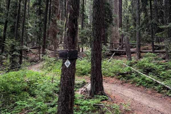
Gnat Flat - FS 1236
The Gnat Flat trail is a nearly one-mile-long, steady, steep climb from north to south, connecting the Hoyt Trail to FS 3300. It climbs relentlessly up a steep grade that is lightly troughed and rutted in spots, and often covered in small roots or small loose rocks. Some sections are rockier and hav...
Learn more about Gnat Flat - FS 1236
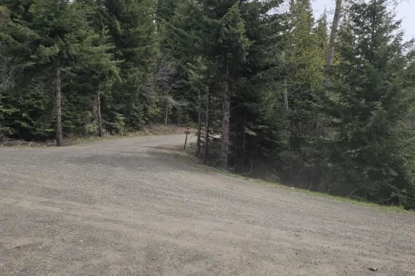
Cedar Creek Road
The trail can accommodate 1 to 2 vehicles, depending on the location, with many pull-off areas available if needed. It has an elevation gain of 1,600 feet, reaching over 4,000 feet at the summit. As you ascend into the alpine forest, the terrain will change;trees become thinner, and views will open ...
Learn more about Cedar Creek Road
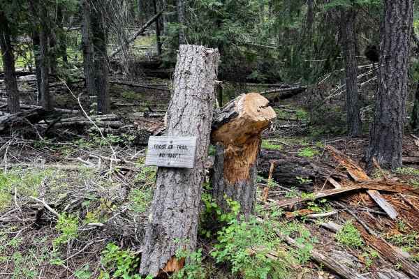
Frost Creek - FS 1347.1
Frost Creek is a 2-mile loop off of the Hoyt singletrack. It is a steep singletrack that curves through a forested hillside, with light ruts, troughs, and frequent small roots and loose rocks in the trail. It mostly ascends from north to south, gaining over 1,000 feet elevation in 2 miles. There are...
Learn more about Frost Creek - FS 1347.1
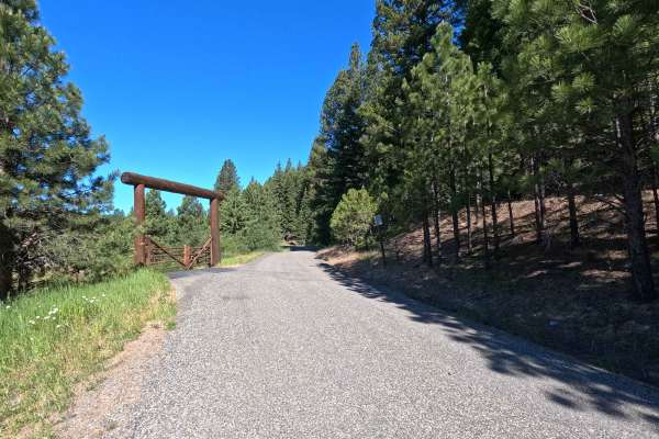
Middle Fork Teanaway - FS 4305113
Middle Fork Teanaway is a 1.5-mile out-and-back route that follows a single-lane gravel road into the Teanaway Community Forest. A Discover Pass is required for access. The route provides access to Indian Camp Campground and follows the Middle Fork Teanaway River through a scenic forested corridor. ...
Learn more about Middle Fork Teanaway - FS 4305113
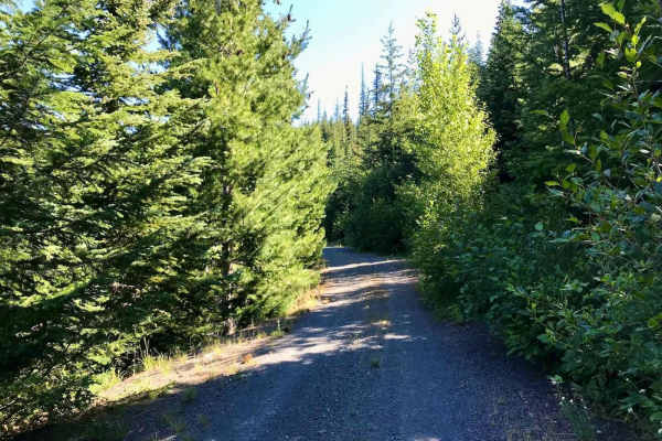
Taneum - NF 3300
The trail consists of hard-packed dirt and gravel, and you'll find it mostly clear of obstacles. You might come across a tree that's fallen onto the trail, so having a handsaw or chainsaw handy can be really helpful for clearing any deadfall. The trail winds around a beautiful ridge, surrounded by a...
Learn more about Taneum - NF 3300
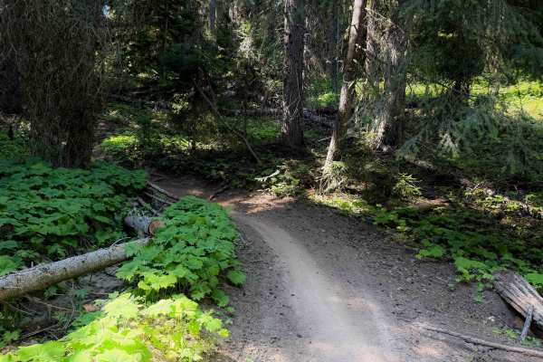
Fishhook Flat - FS 1378
Fishhook Flat is an easy connector trail between the North Fork Taneum and South Fork Taneum trails in the Wenatchee National Forest. The trail is 4.3 miles long and is full of easy technical features such as short but steep climbs and descents, easy switchbacks, loose rocks, mild exposure, and smal...
Learn more about Fishhook Flat - FS 1378
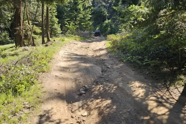
Moonlight Canyon
This is an easy-going trail that meanders through the forest. There are no significant obstacles, aside from the occasional adventurous chipmunk. Several offshoot trails can be accessed without the need to backtrack. Although there were no riders on the trail, it was dusty; a bandana is recommended ...
Learn more about Moonlight Canyon
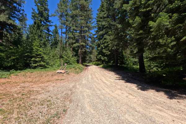
Corral Creek - FS 4305
Corral Creek is a 4.5-mile point-to-point route that follows a rough single-lane gravel road through the Okanogan-Wenatchee National Forest. The road features moderate rutting and water damage throughout, with larger ruts becoming more common farther up the route. Corral Creek provides access to sev...
Learn more about Corral Creek - FS 4305
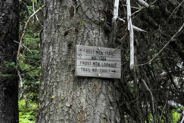
Frost Mountain Lookout - 1366.1
This is a fun spur off of Frost Mountain Trail that climbs to the overlook at the top of Frost Mountain, with 360-degree views. This short spur trail is about a half mile long. It starts in a wide meadow at the intersection with Trail 1366, and there is a sign on the tree, making it easy to know whe...
Learn more about Frost Mountain Lookout - 1366.1
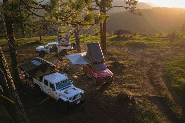
Tamarack Springs
This is roughly a nearly 7-mile section of trail connecting the Manastash and Gnat Flat Trails. This is a mostly well-groomed forest service road with the occasional pothole, or loose rock, however, is primarily compacted dirt. There are numerous turns off the main trail that would make for some gre...
Learn more about Tamarack Springs
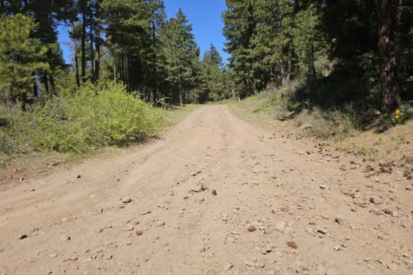
Morris Canyon - NF 629
This trail features hard-packed dirt and offers wide-open terrain, providing visibility for many miles in every direction. There are pullouts available along the way, allowing for easy stops. The trail is wide enough to accommodate one to two vehicles. The chances of spotting wildlife are quite good...
Learn more about Morris Canyon - NF 629
Beginner ATV trails near Cle Elum, Washington
Explore ATV-friendly trails near you. These trails are accessible for vehicles up to 50 inches wide, perfect for ATVs and smaller off-road machines.
Lankin Loop - NF3350-119
Lankin Loop - NF3350-119 is an easy, scenic 2-mile gravel connector ideal for beginner overlanders and families looking to explore the scenic ridges of the Wenatchee National Forest. This maintained Forest Service road links the high elevations of South Cle Elum Ridge down to Miners Point Road and t...
Learn more about Lankin Loop - NF3350-119
South Cle Elum Ridge - NF3350
South Cle Elum Ridge - NF3350 offers scenic and accessible driving for overlanders, beginners, and families seeking a scenic gateway into the Okanogan-Wenatchee National Forest. This 6.5-mile maintained gravel route serves as a crucial segment of a massive 60-mile north-south overland passage connec...
Learn more about South Cle Elum Ridge - NF3350
3350-114
The trail leads you into high alpine terrain, offering stunning views of the valleys and meadows of the Wenatchee National Forest. Wildlife is abundant along the route, and you may have a good chance of spotting deer or elk while traversing the trail. In early summer, wildflowers bloom beautifully. ...
Learn more about 3350-114
Lower South Cle Elum Ridge
The trail is rated as level 1 and winds through a thick forest with no major obstacles, aside from occasional squirrels. The view at Taneum Point is breathtaking on a clear day. Be sure to check out the US Geological Survey marker for Taneum Point. The trail can be dusty, so wearing a bandana is rec...
Learn more about Lower South Cle Elum Ridge
Beginner UTV/side-by-side trails near Cle Elum, Washington
Find UTV and side-by-side trails near you. These trails accommodate vehicles up to 60 inches wide, ideal for UTVs, side-by-sides, and wider off-road rigs.
Lankin Loop - NF3350-119
Lankin Loop - NF3350-119 is an easy, scenic 2-mile gravel connector ideal for beginner overlanders and families looking to explore the scenic ridges of the Wenatchee National Forest. This maintained Forest Service road links the high elevations of South Cle Elum Ridge down to Miners Point Road and t...
Learn more about Lankin Loop - NF3350-119
South Cle Elum Ridge - NF3350
South Cle Elum Ridge - NF3350 offers scenic and accessible driving for overlanders, beginners, and families seeking a scenic gateway into the Okanogan-Wenatchee National Forest. This 6.5-mile maintained gravel route serves as a crucial segment of a massive 60-mile north-south overland passage connec...
Learn more about South Cle Elum Ridge - NF3350
3350-114
The trail leads you into high alpine terrain, offering stunning views of the valleys and meadows of the Wenatchee National Forest. Wildlife is abundant along the route, and you may have a good chance of spotting deer or elk while traversing the trail. In early summer, wildflowers bloom beautifully. ...
Learn more about 3350-114
Lower South Cle Elum Ridge
The trail is rated as level 1 and winds through a thick forest with no major obstacles, aside from occasional squirrels. The view at Taneum Point is breathtaking on a clear day. Be sure to check out the US Geological Survey marker for Taneum Point. The trail can be dusty, so wearing a bandana is rec...
Learn more about Lower South Cle Elum Ridge
The onX Offroad Difference
onX Offroad combines trail photos, descriptions, difficulty ratings, width restrictions, seasonality, and more in a user-friendly interface. Available on all devices, with offline access and full compatibility with CarPlay and Android Auto. Discover what you're missing today!
Open Trail Map