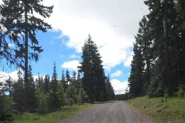
Trail Overview
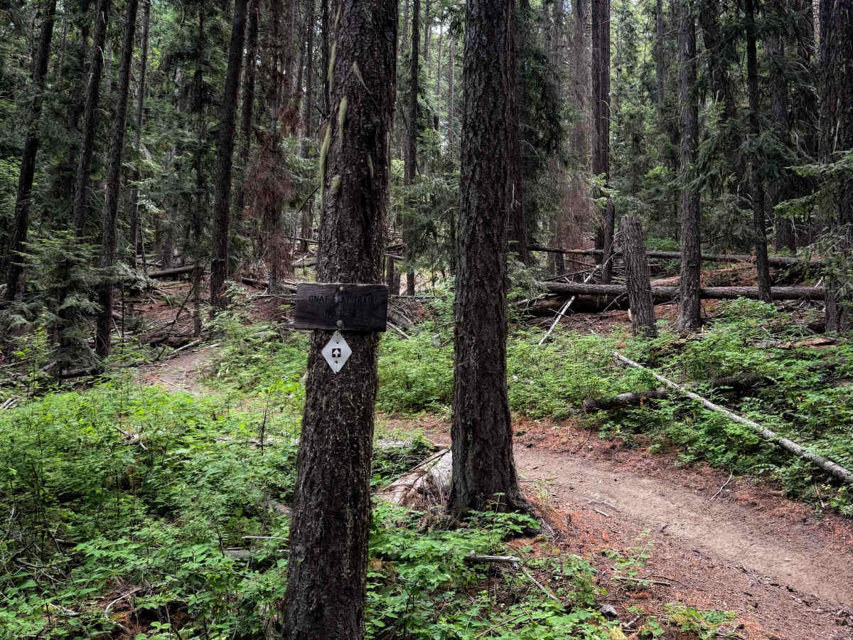
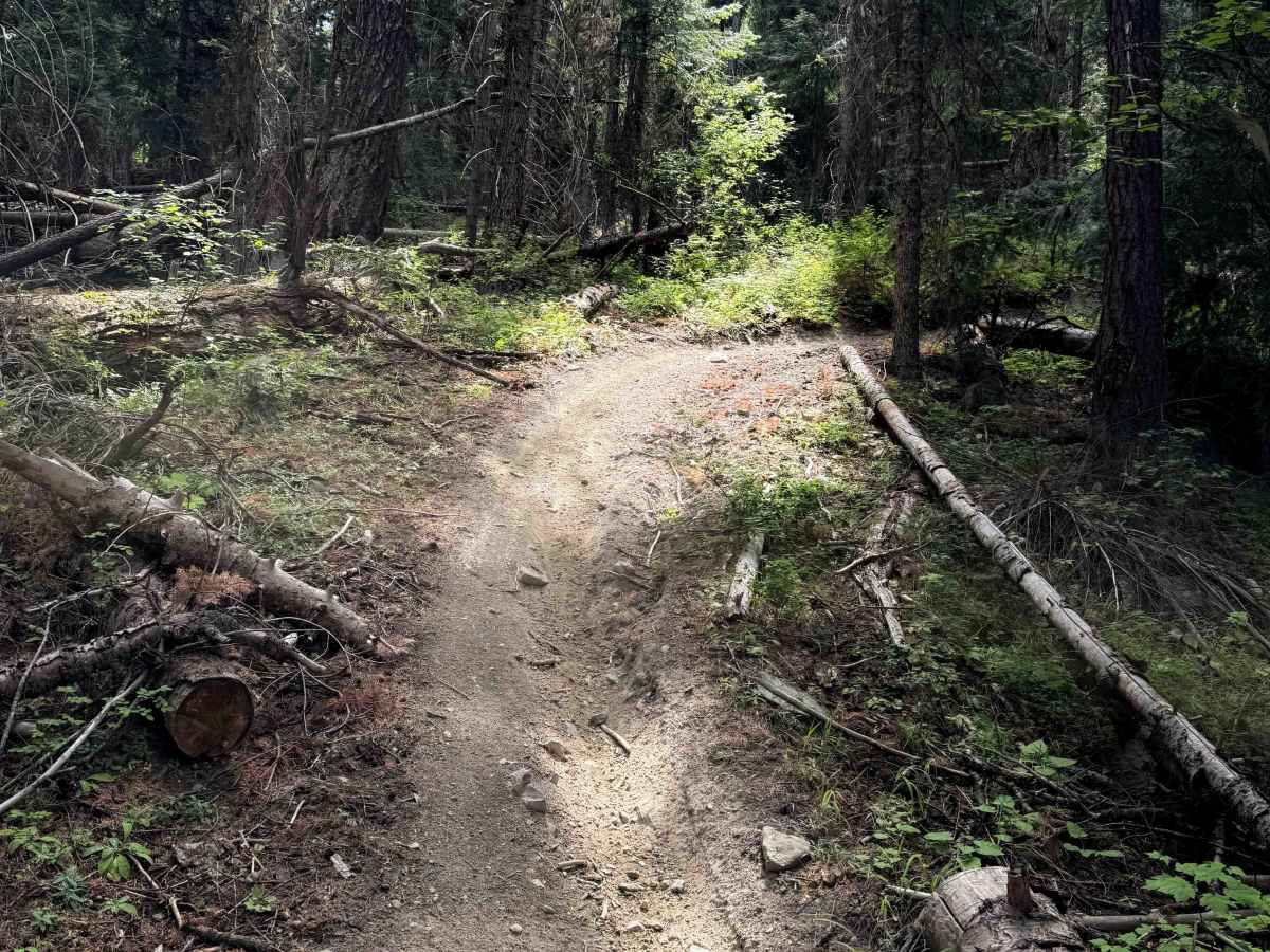
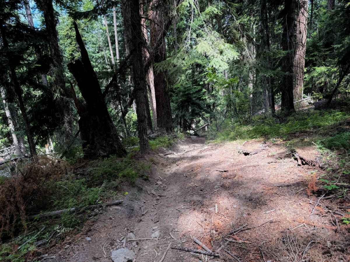
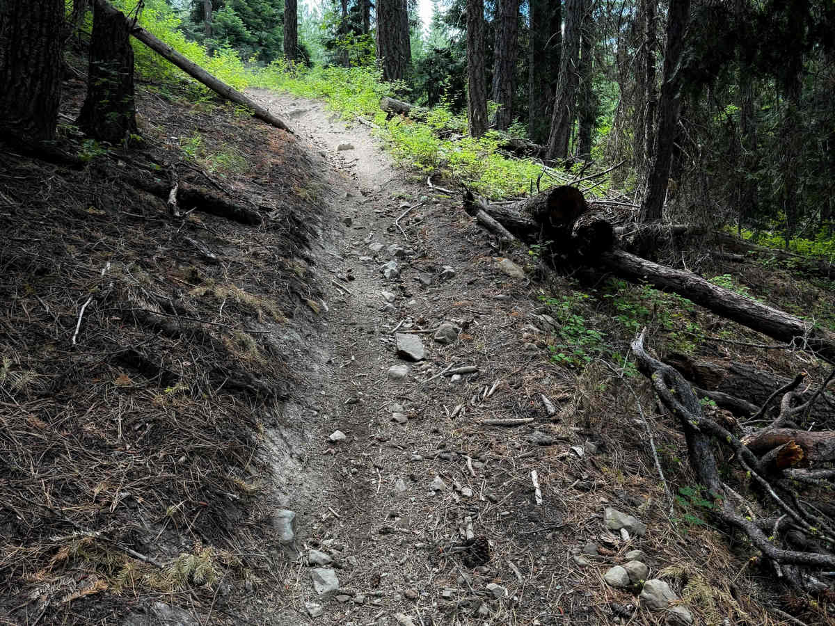
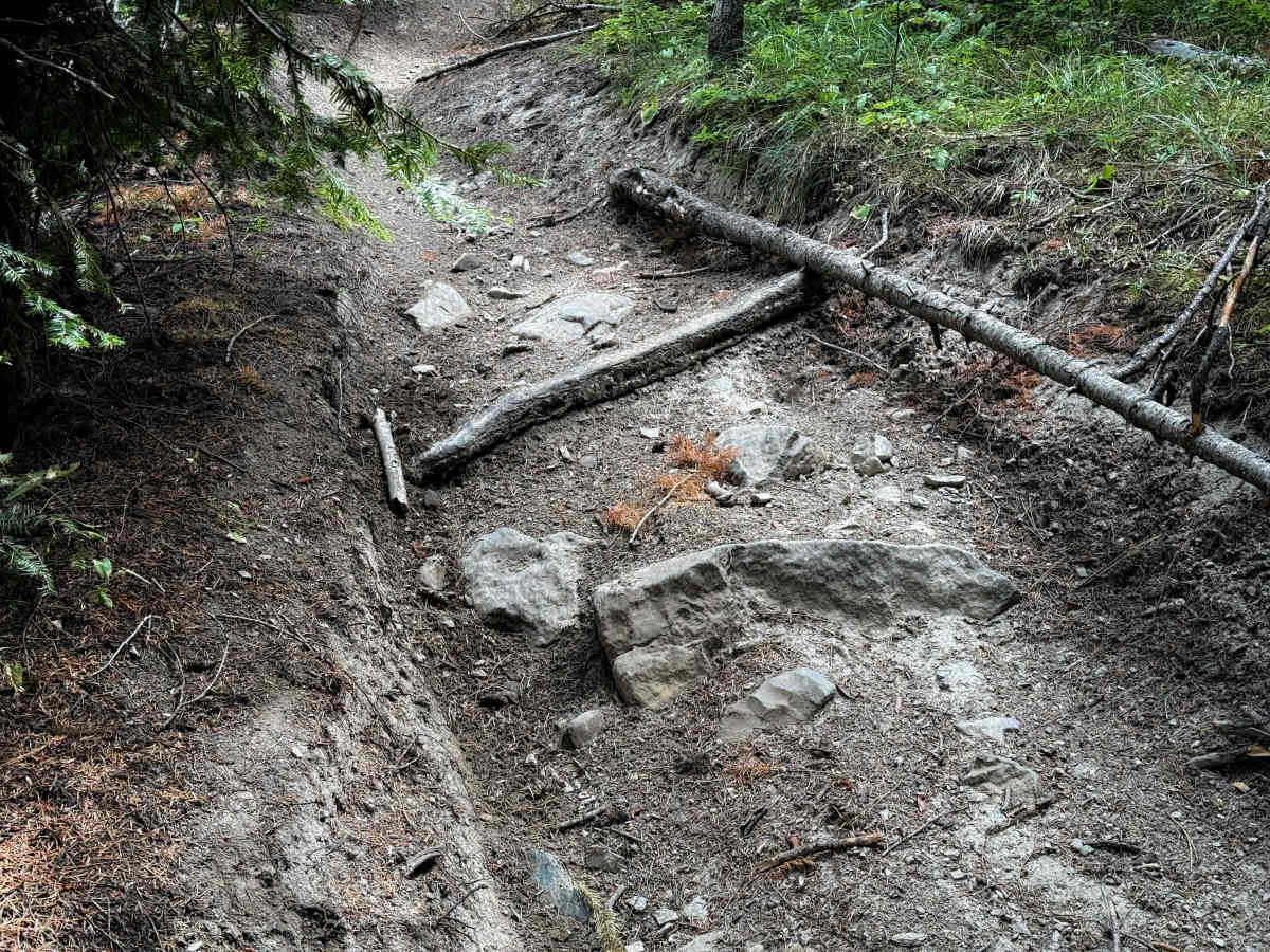
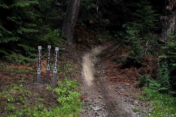
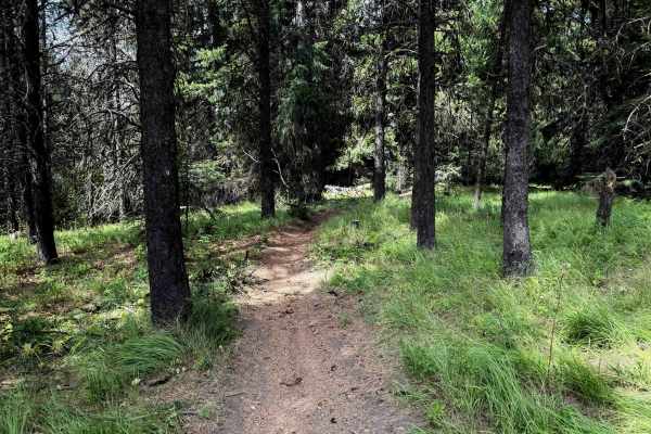
The Gnat Flat trail is a nearly one-mile-long, steady, steep climb from north to south, connecting the Hoyt Trail to FS 3300. It climbs relentlessly up a steep grade that is lightly troughed and rutted in spots, and often covered in small roots or small loose rocks. Some sections are rockier and have more embedded rock layers as well. You’ll need to keep your momentum up through sweeping corners and tight maneuvers through the trees. There is also a lot of slash and log debris in the trail from recent downfall that has been cut. The trail was clear of any downfall by early summertime. The trail also crosses several logging roads throughout the route.
Difficulty
This is a moderately easy trail, as although it is pretty steep, there aren’t any major obstacles or exposure. The trail climbs directly up a hillside with some sweeping corners, and lots of loose rock, but there are no major ledges. Expect loose rock and roots and steep grades that still may test the novice rider.