Trail Overview
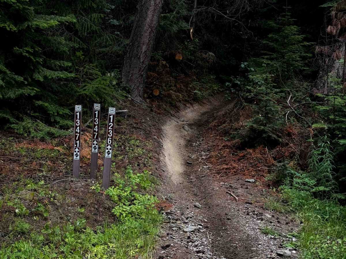
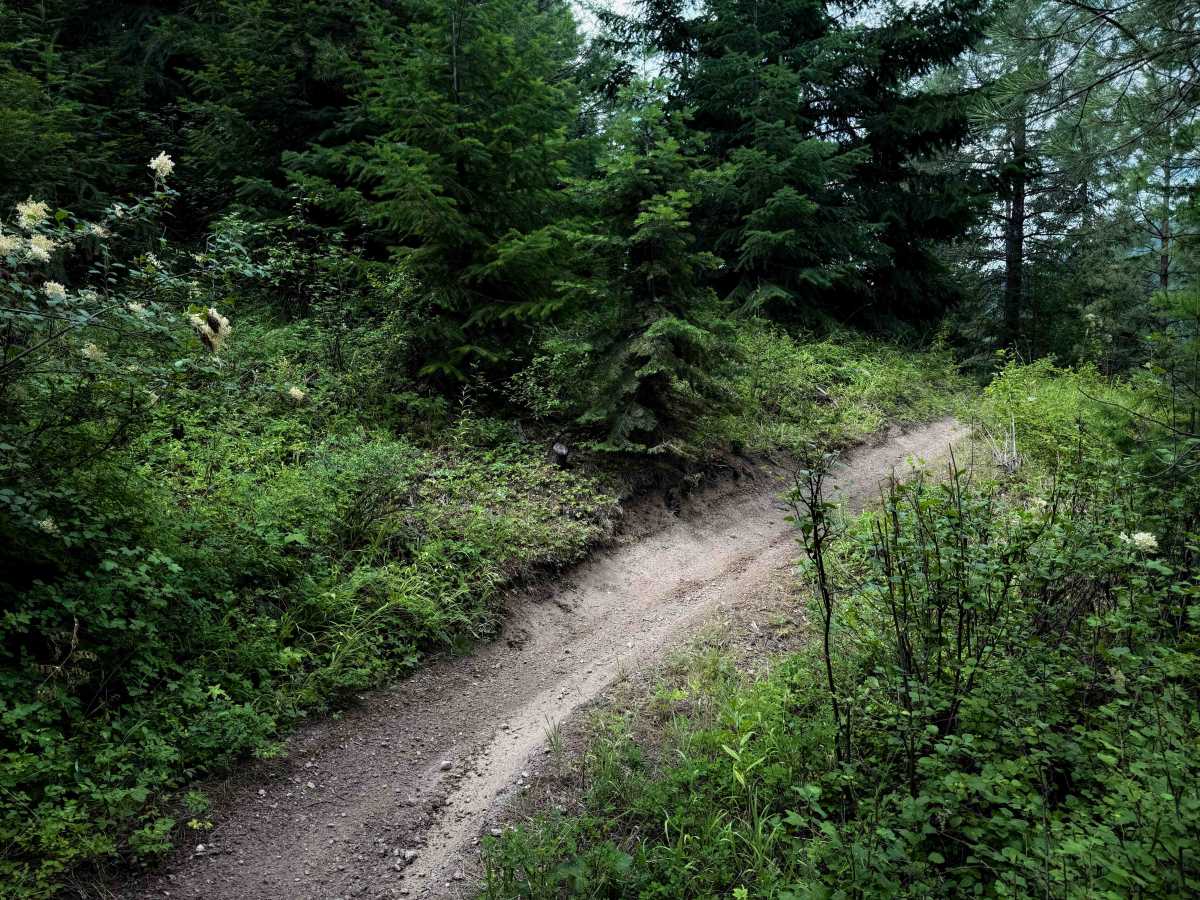
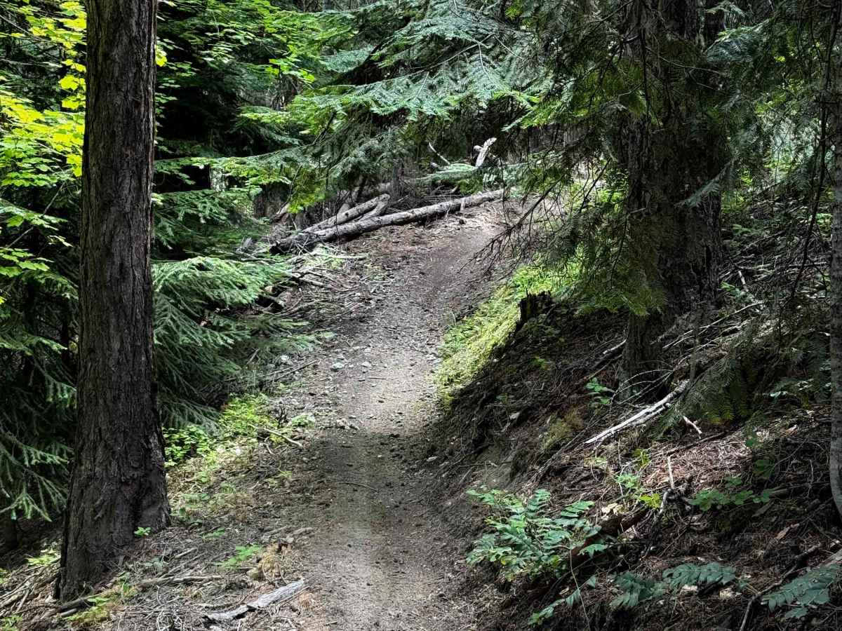
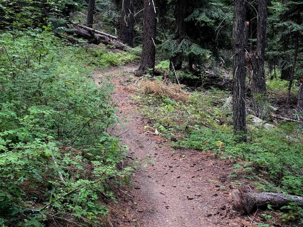
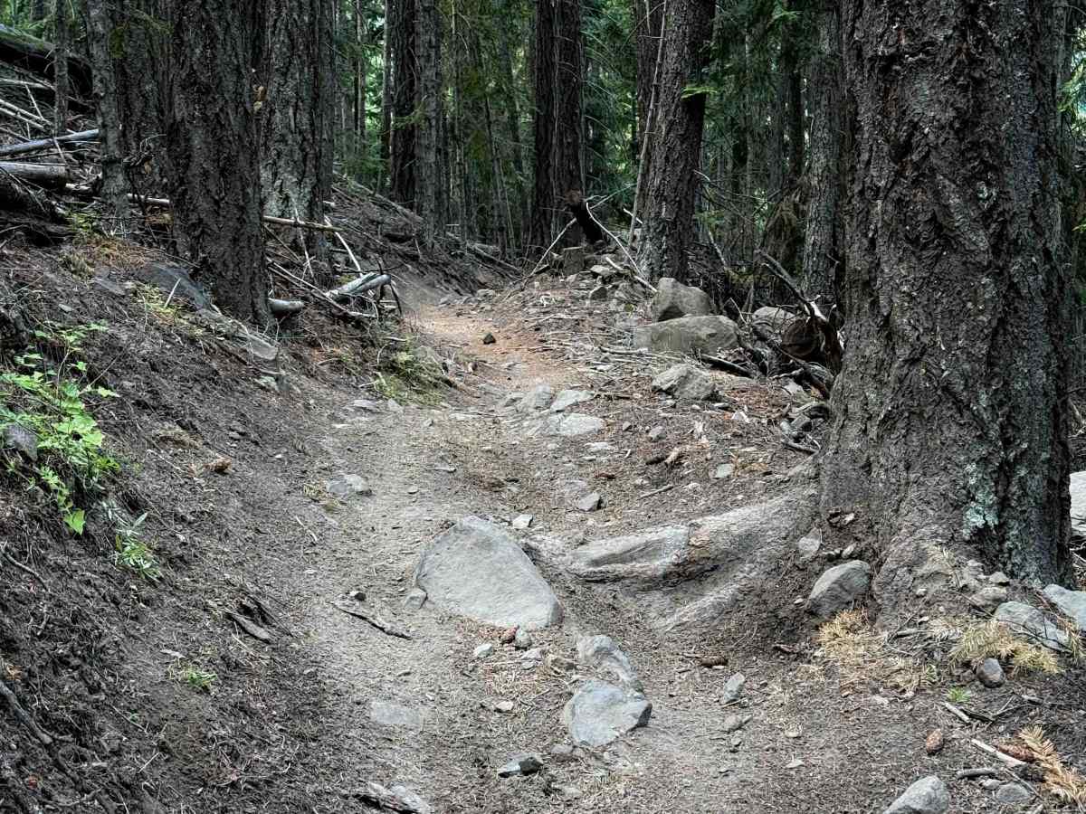
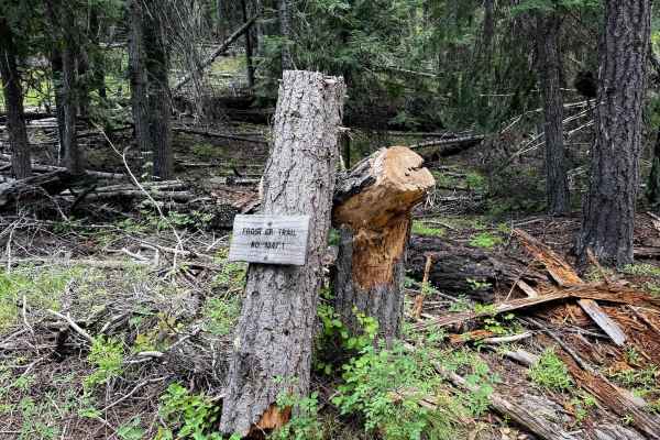
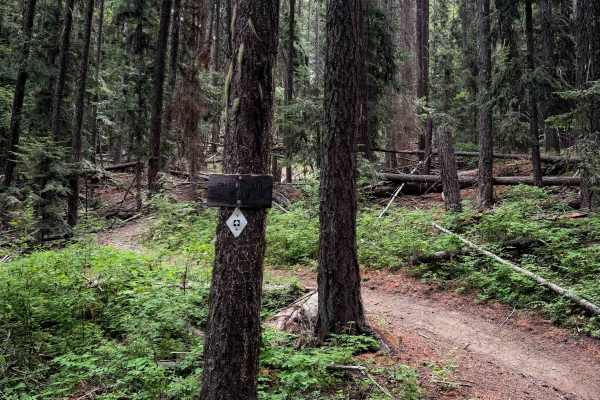
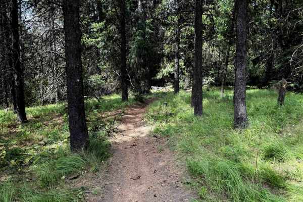
Hoyt is a 6.3-mile-long single-track through the Wenatchee National Forest, easily accessible from West Taneum Road. The north entrance to Hoyt starts just south of a backcountry cabin, after a shallow water crossing over the South Fork Taneum Creek. It starts with a very steep and constant climb for the first mile. It’s a long steady climb, up a somewhat trodden trail, but on mostly just dirt with not many rocks, weaving up a couple sweeping hairpin corners. After about .8 miles, it connects with Gnat Flat. Then it continues as a shelfy, curvy trail meandering through dense forest, with small rocks in the trail. It is shelfy in spots, with little drop-offs from embedded rocks and roots, and a few chunkier sections with small embedded rocks. There are many fast and flowy sections on the hilltops through meadows and pine forests on smoother dirt, though. The trail requires lots of tight maneuvers as it weaves between the trees, with several moderately tight switchbacks with shelfy and narrow sections of side-hilling in between the corners. There are also lots of brake bumps in sections, and a few wooden bridges over small stream crossings. The north half of the trail has been rerouted around sections of private property, but there are lots of trail signs to mark the route, so it is easy to follow.
Difficulty
This is a moderate route due to several switchbacks, small rock and root obstacles, and exposed sections of side-hilling and narrow trail that are ideal for experienced riders with basic experience. It isn’t overly difficult, but riders should expect steep grades and tight maneuvers.