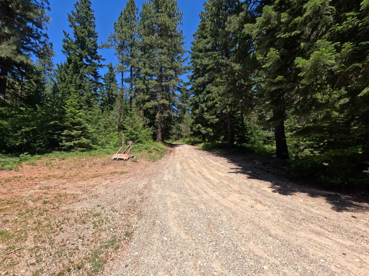
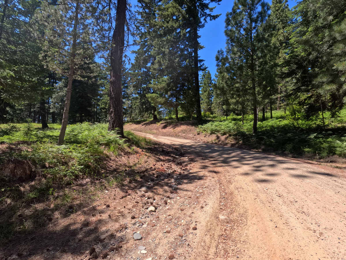
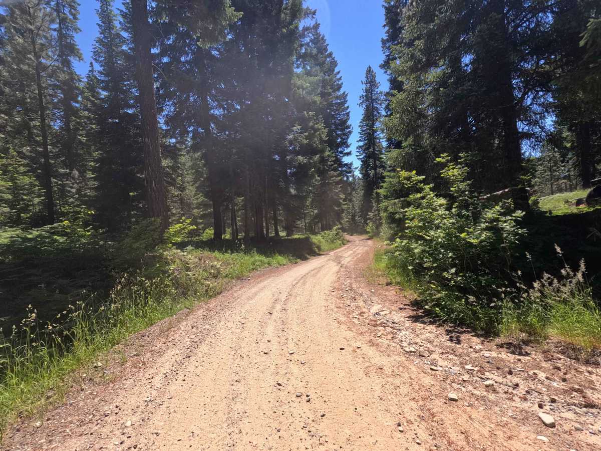
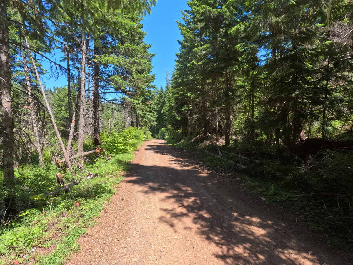
Trail Overview
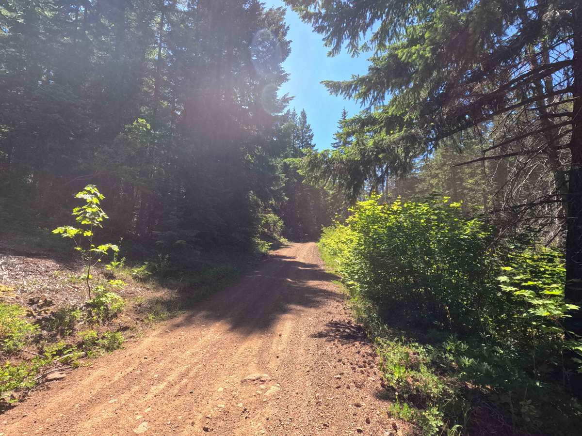
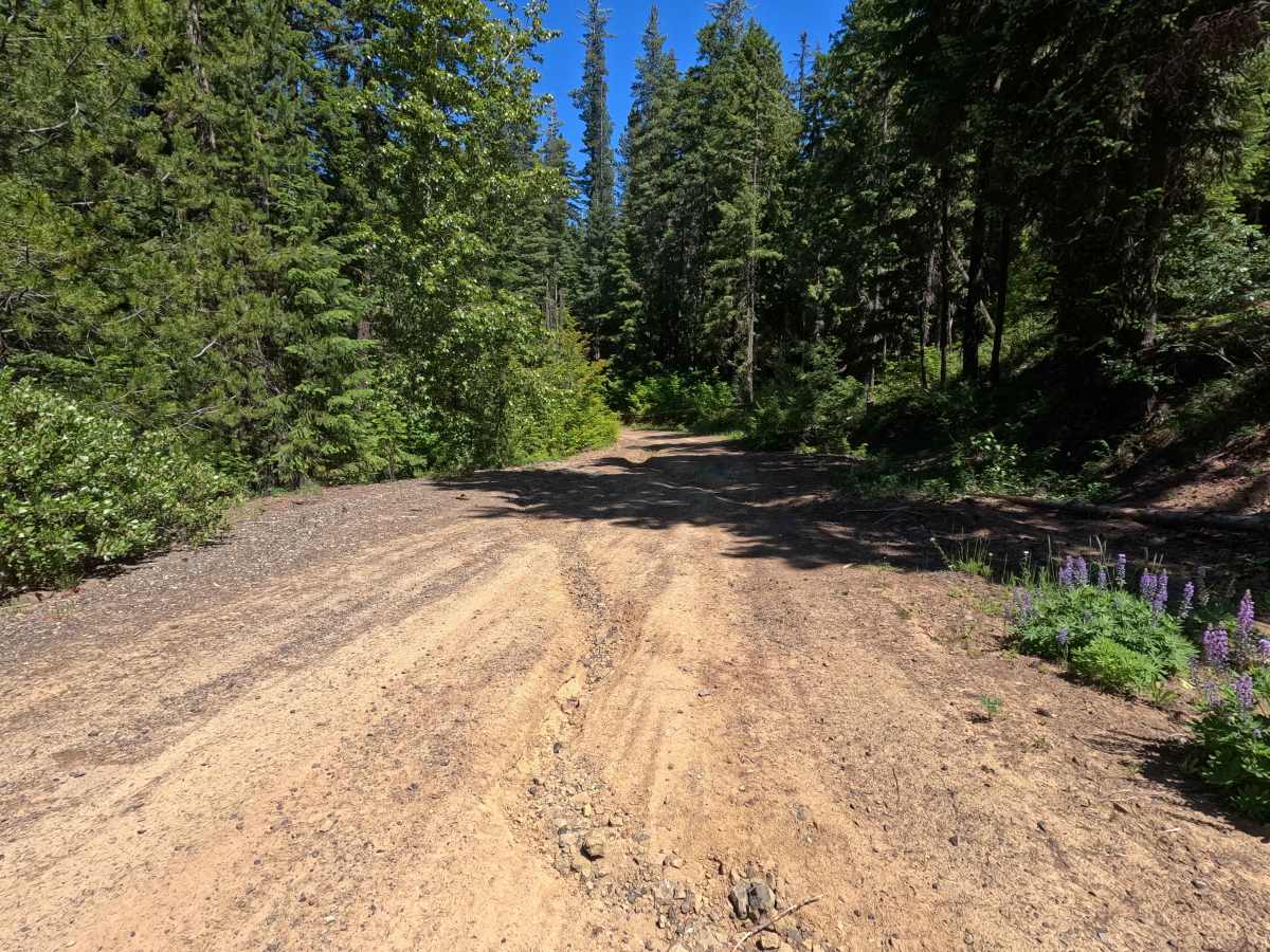
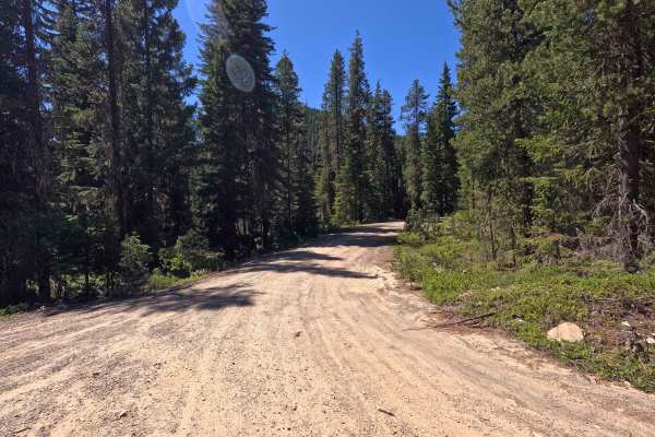
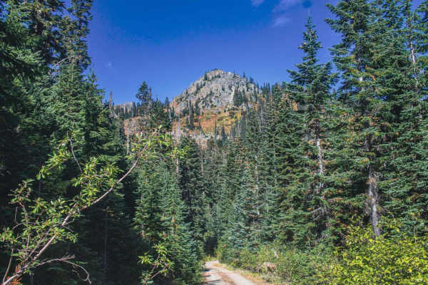
Corral Creek is a 4.5-mile point-to-point route that follows a rough single-lane gravel road through the Okanogan-Wenatchee National Forest. The road features moderate rutting and water damage throughout, with larger ruts becoming more common farther up the route. Corral Creek provides access to several single-track motorcycle trails, making it a popular staging route for trail riders exploring the surrounding area. Signs along the road note that dirt bikes and ATVs are prohibited from operating on Forest Service roads unless they meet applicable street-legal requirements. The route ends at an intersection with Middle Teanaway Road.
Difficulty
Corral Creek is moderately challenging due to its rough road surface, water damage, and increasingly large ruts near the upper end of the route. While there are no major technical obstacles, drivers should be prepared for uneven terrain that may require careful tire placement in some areas. High-clearance vehicles are recommended, particularly later in the season when erosion features become more pronounced. Weather conditions can significantly increase difficulty, especially where ruts hold water or become muddy. As with most trails in the area, bringing a chainsaw or equipment to clear fallen trees is recommended.