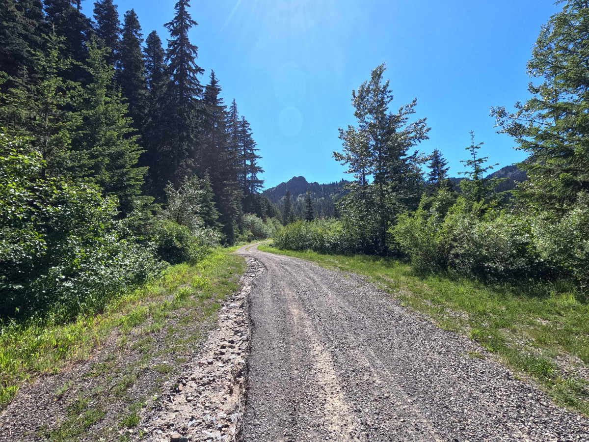
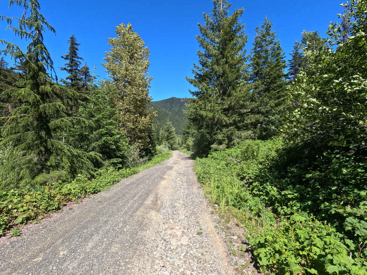
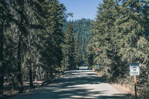
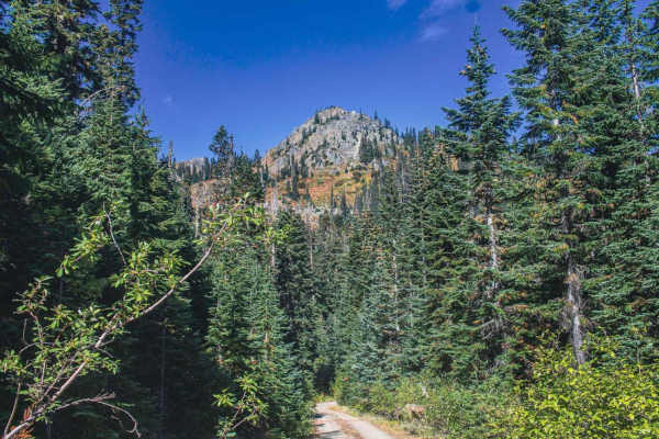
Trail Overview
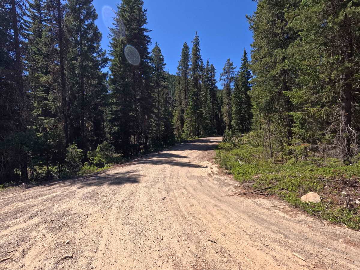
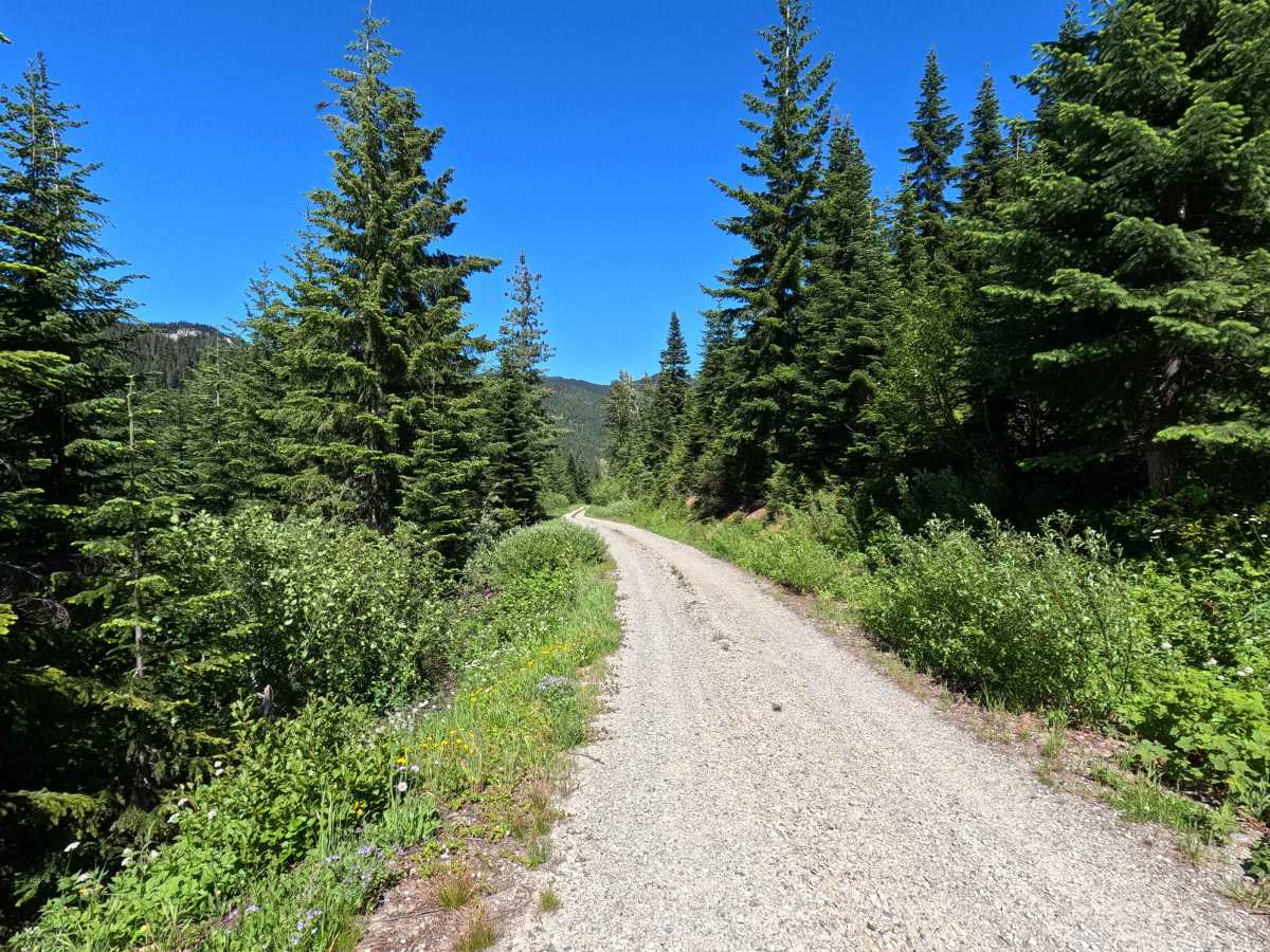
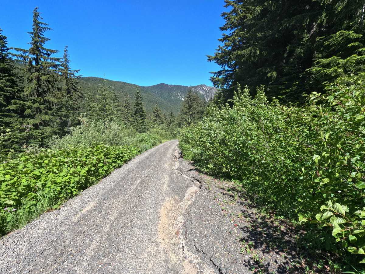
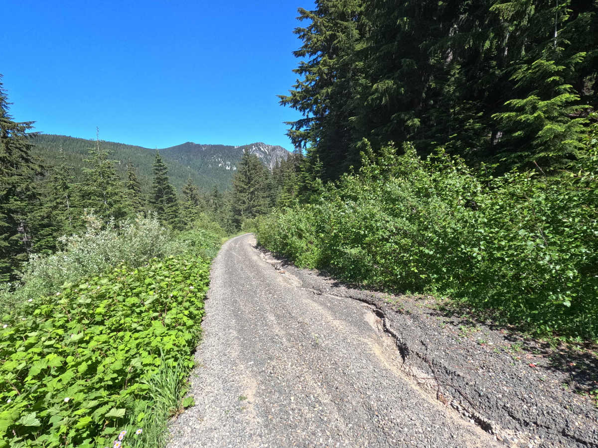
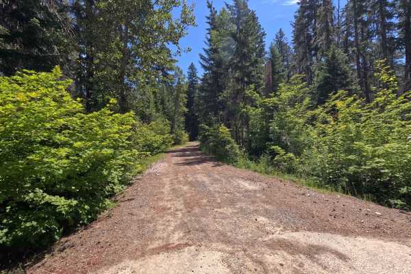
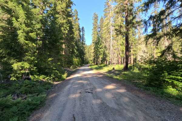
Thorp Creek is a 2.8-mile out-and-back route that climbs through dense forest toward the upper reaches of the Thorp Creek drainage. The single-lane gravel road becomes progressively rougher as it gains elevation, with larger ruts, increasing brush encroachment, and deteriorating road conditions in the upper portions. Full-width vehicles should expect pinstriping, particularly near the end of the route where vegetation begins to crowd the road. The trail provides access to the Thorp Creek Trail, which leads to the historic Thorp Mountain Lookout. The road ends at a small turnaround and an unnamed hiking trail.
Difficulty
Thorp Creek is moderately challenging due to increasing rutting, brush encroachment, and rough road conditions near the upper end of the route. Low-clearance vehicles are not recommended, particularly in the upper portions, where larger ruts and erosion features become more common. While there are no major technical obstacles, drivers should expect uneven terrain and potential paint damage from encroaching vegetation. Weather conditions can significantly increase difficulty, particularly where ruts hold water or become muddy. As with most trails in the area, bringing a chainsaw or equipment to clear fallen trees is recommended.