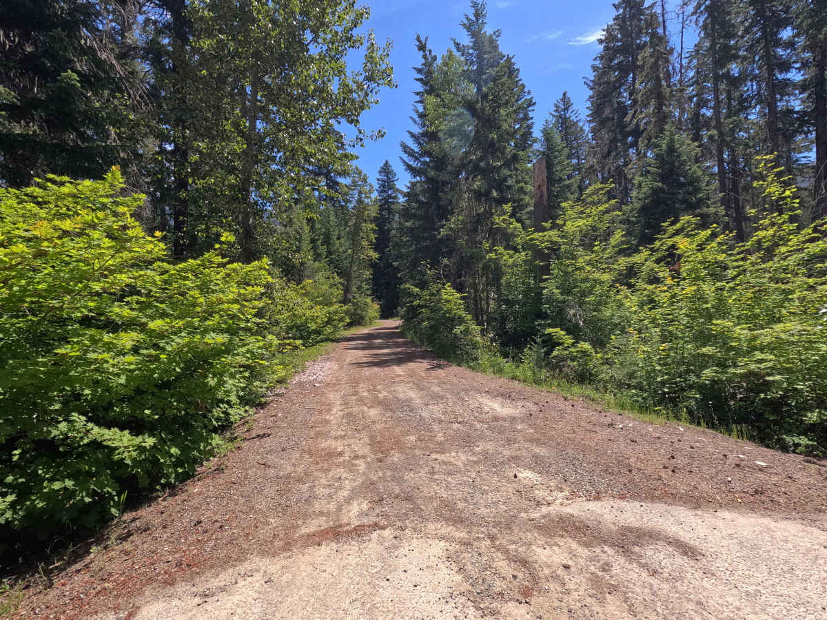
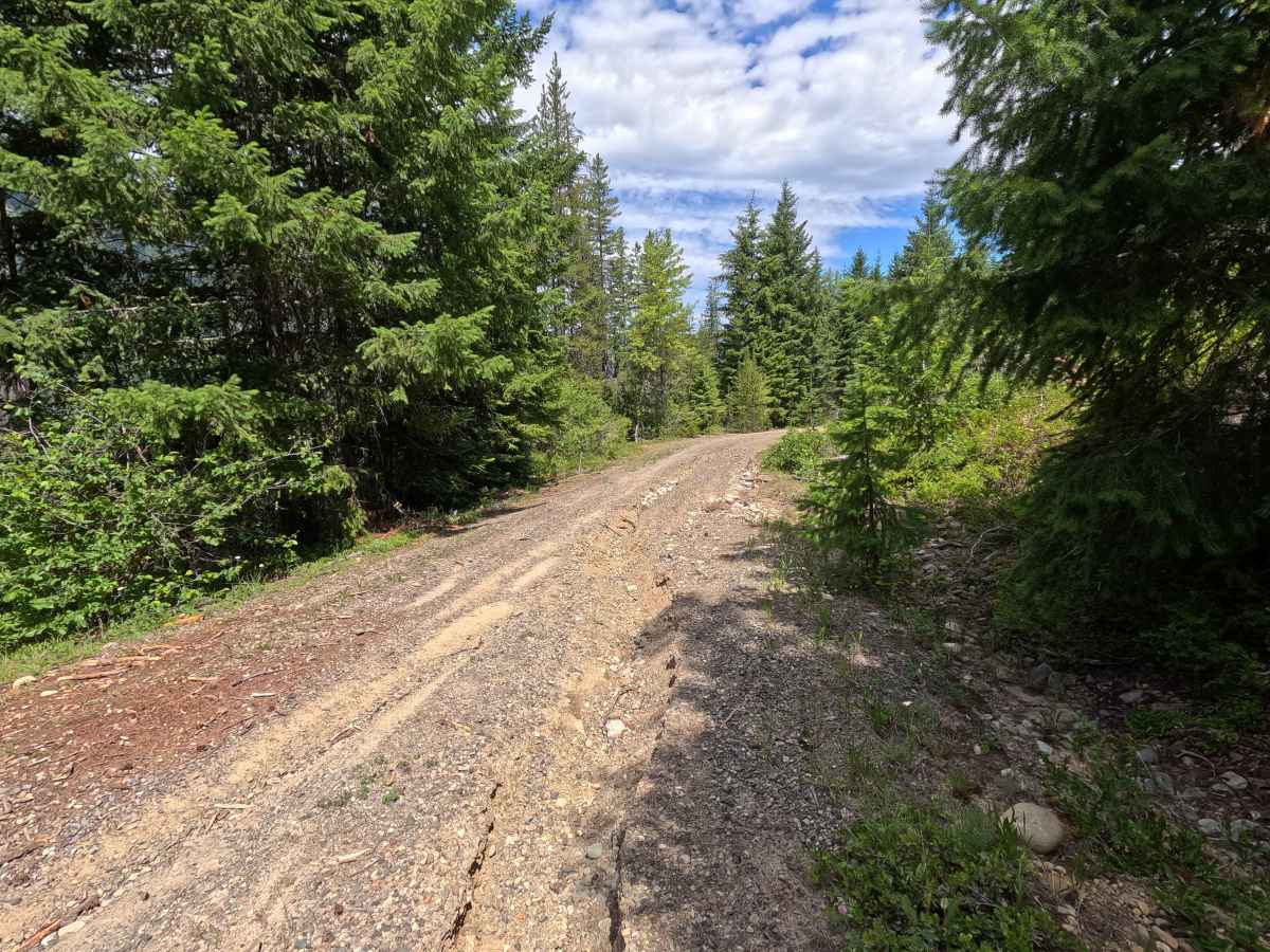
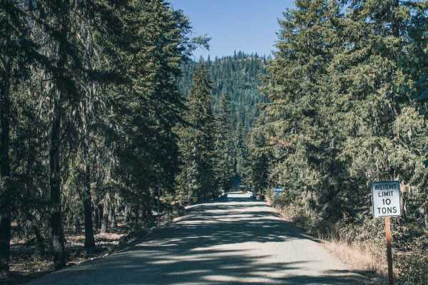
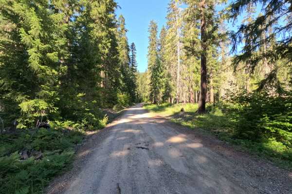
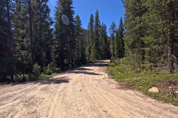
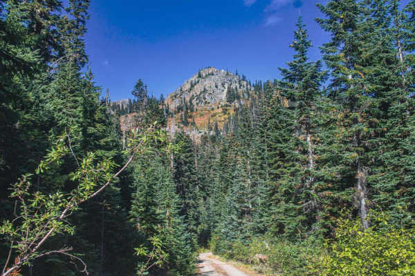
Trail Overview
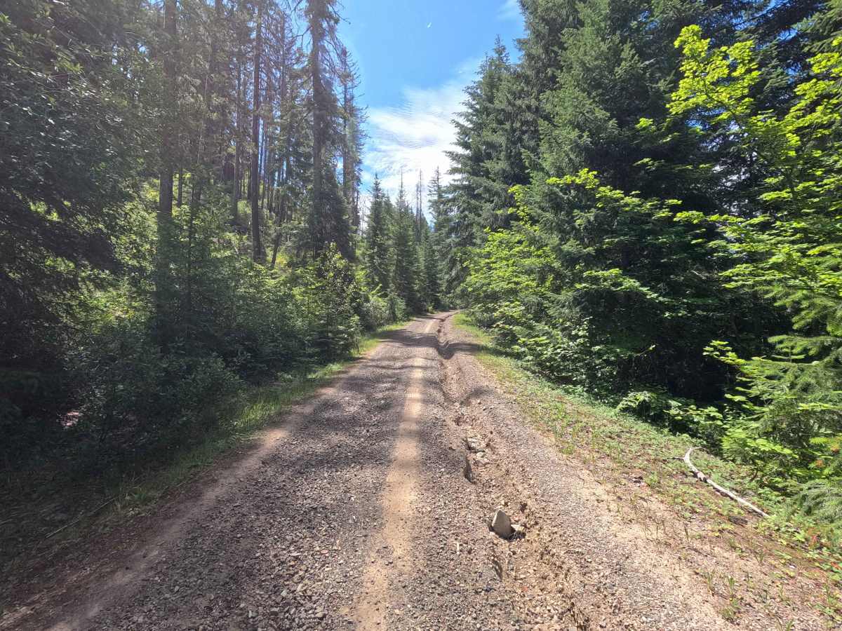
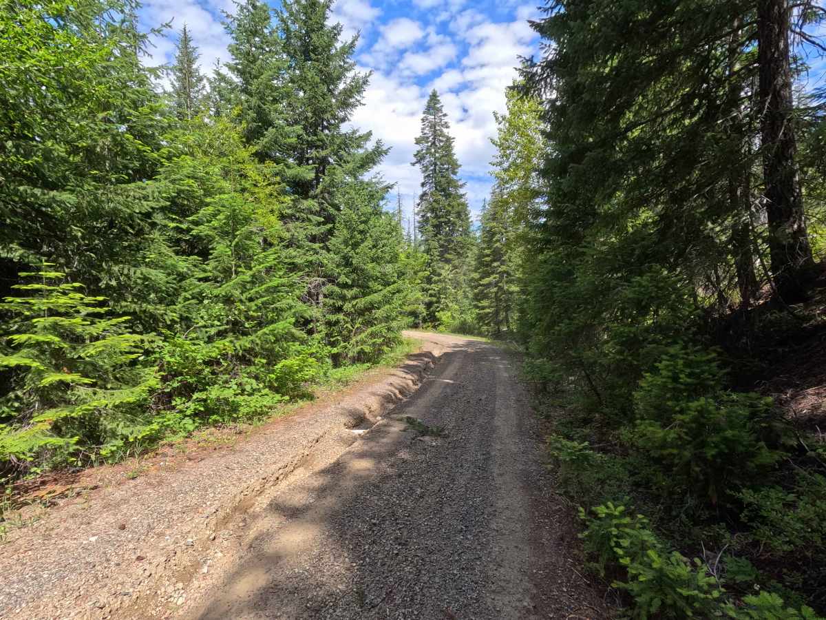
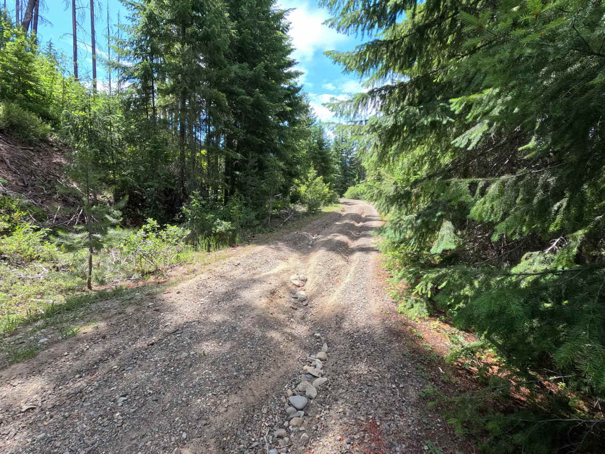
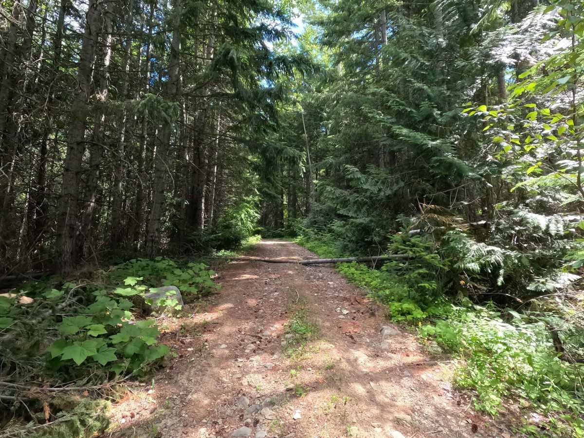
Hawson Creek is a 5.5-mile out-and-back route that climbs through forested terrain toward a basin below Sasse Mountain. The single-lane gravel road begins relatively straightforward but becomes progressively rougher with elevation. Significant rutting crosses the roadway in several locations, while larger rocks and sections of brush encroachment become more common farther up the trail. A short loose rock garden near the upper end adds one final obstacle before the route reaches its destination. Hawson Creek ends in a large basin near the summit of Sasse Mountain, terminating at a small turnaround where it intersects the Salmon La Sac hiking trail.
Difficulty
Hawson Creek is moderately challenging and best suited for high-clearance vehicles. Significant rutting crosses the road in multiple locations and can present problems for low-clearance vehicles. Road conditions become rougher toward the upper end of the route, with larger rocks, brush encroachment, and a short loose rock garden requiring additional attention. While the trail does not contain major technical obstacles, the combination of rutting and rough road conditions makes careful tire placement necessary in several areas. As with most trails in the area, bringing a chainsaw or equipment to clear fallen trees is recommended.