
Beginner Off-Road Trails
Near Central Valley (historical), California
Explore All Beginner Trails Near Central Valley (historical), California
Beginner Off-Road Trails Near Central Valley (historical), California
Discover the best beginner-friendly off-road trails near you. These easier, lower-rated trails are a great place to start — browse trail maps, check difficulty ratings, and find your next adventure.
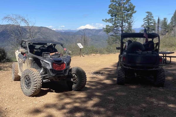
Mammoth Mountain Trail 1
This is a wide-open easy trail from the Chappie staging area, past Mammoth Mountain, to a lunch spot. It's easy for all riding abilities, with a ton of overlooks along the way. During the spring, you will find a lot of waterfalls along the road. This route also goes through several burn scars, which...
Learn more about Mammoth Mountain Trail 1
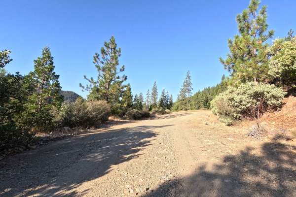
Upper Shotgun Road
Tucked into a classic, lush evergreen forest, Upper Shotgun Road is a quick and peaceful drive under a beautifully shaded woodland canopy. The route begins with a straightforward turn-off, leading you immediately onto a welcoming and clearly defined path. As you journey through the quiet woods, the ...
Learn more about Upper Shotgun Road
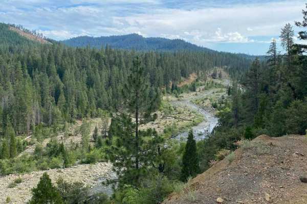
Swift Creek - FS 36N25
Swift Creek - FS 36N25 is a highly accessible, beautifully scenic Forest Service road that reaches the trailheads for the Granite Lake and Swift Creek trails in the Trinity Alps Wilderness. As you meander through the dense, towering pine forest, the trail occasionally opens up to offer sweeping, el...
Learn more about Swift Creek - FS 36N25
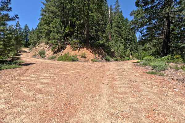
North Fork Swift Creek - FS 37N55
The overall environment of North Fork Swift Creek provides a beautifully winding, scenic escape that climbs steadily into the lush, shaded reaches of the Shasta National Forest just west of Trinity Lake. Serving as a fantastic woodland connector, this route bridges the Deadhorse Creek area in the no...
Learn more about North Fork Swift Creek - FS 37N55
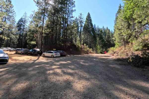
Mule Creek - FS 35N23Y
Mule Creek - FS 35N23Y leads travelers through a serene timberland setting within the Shasta-Trinity National Forest, transitioning from lush creek-side greenery to open evergreen stands. This well-traversed connector route is accessed directly off local forest arterials and serves as a vital thorou...
Learn more about Mule Creek - FS 35N23Y
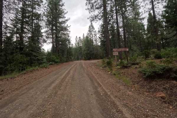
Lake Eleanor - FS 36N24
Branching off from the main road and clearly marked by brown Forest Service directional signs, this beautiful journey takes you through a dense pine forest along a road that is generally very wide, exceptionally flat, and clearly well-traversed. As you cruise along the hillside, the surface alternat...
Learn more about Lake Eleanor - FS 36N24
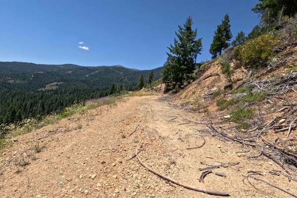
Deadhorse Creek - FS 37N80Y
The overall environment of Deadhorse Creek - FS 37N80Y begins as a pleasant, inviting woodland drive featuring sprawling, peekaboo views of Trinity Lake, but it progressively transforms into a rugged, heavily overgrown hillside track. Starting on a relatively clear and open path flanked by thick bla...
Learn more about Deadhorse Creek - FS 37N80Y
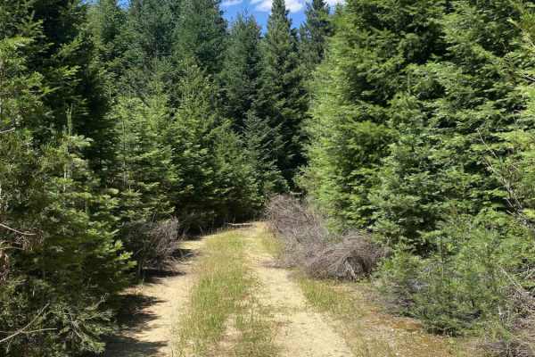
North Fork Swift Creek Spur A - FS 37N55A
This short, unmarked out-and-back spur climbs into a densely wooded, lush evergreen forest that feels incredibly secluded. Starting from the main FS 37N55 road, the entrance can be a bit tricky to spot due to the complete lack of signage or trail markers. The journey begins with a relatively wide up...
Learn more about North Fork Swift Creek Spur A - FS 37N55A
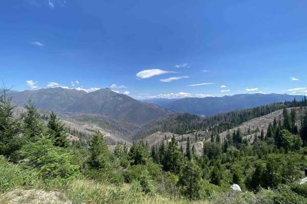
Up Little Boulder - FS 37N53
Continuing the climb from Buckeye Creek, the overall environment of Up Little Boulder offers an incredible, expansive journey high into the Shasta National Forest that ultimately brings you to the edge of the majestic Trinity Alps Wilderness. This highly scenic, wide-open Forest Service route is a f...
Learn more about Up Little Boulder - FS 37N53
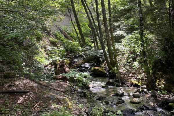
Buckeye Creek - FS 37N52
The overall environment of Buckeye Creek offers a wonderful, peacefully secluded journey that steadily climbs up into the towering, shaded pine stands of the Shasta National Forest. Starting directly off California Highway 3, this forest service loop initially passes by a few private residences that...
Learn more about Buckeye Creek - FS 37N52
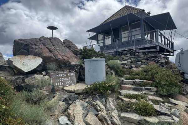
Bonanza King Lookout - FS 38N85
Nestled within the breathtaking Shasta-Trinity National Forest, this route climbs through a beautifully dense, lush evergreen woodland that slowly thins out as you approach the alpine summit. The public primarily travels this wonderfully maintained forest road to access the active Bonanza King Looko...
Learn more about Bonanza King Lookout - FS 38N85
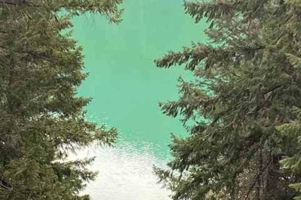
McCloud River 38N53
While the trail is an easy dirt road the real story is the river. The Lower McCloud River flows approximately 12 miles from Lake McCloud into Lake Shasta. It can have an emerald green color, which can be due to suspended sand, volcanic ash, and other particulate matter. There are two campgrounds on ...
Learn more about McCloud River 38N53

Soldier Creek Loop - FS 33N48
This single-lane dirt road begins and ends at the Soldier Creek Road - FS 33N47. It is a bit overgrown in places, and pin striping would be likely for a full-size vehicle. It has some erosion damage up to a foot deep, and exposed embedded rocks and loose rocks up to a foot high. The road goes throug...
Learn more about Soldier Creek Loop - FS 33N48
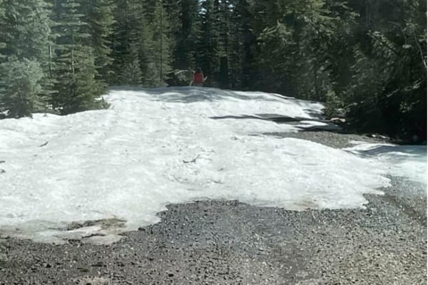
Jack's Backbone
This is a fun drive up through the mountains that will require 4x4 high clearance. However, it does not require lockers. Bring a lunch and enjoy the backcountry, with some great views of valleys and mountains.
Learn more about Jack's Backbone

Chanchelulla Gulch Road - FS 30N15
This single-lane gravel road begins from the Midas Saddle Road - FS 30N16 and connects through to the Browns Creek Road - FS 30N01. The road surface is mostly in good condition, with some areas of erosion damage up to a foot deep and a couple of sections of more natural surface. The road is a littl...
Learn more about Chanchelulla Gulch Road - FS 30N15
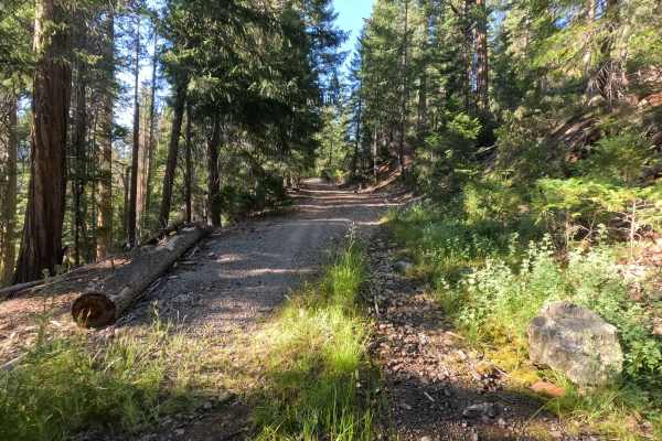
Rock Creek - FS 39N78
Climbing steadily above 5,000 feet in elevation, Rock Creek - FS 39N78 travels through a dense, towering evergreen canopy with thick manzanita understory within the Shasta National Forest. This little-used offshoot branches up from Red Hill, offering a short, adventurous bypass for travelers looking...
Learn more about Rock Creek - FS 39N78
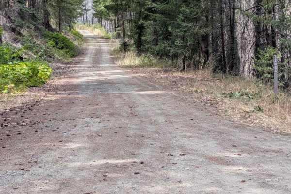
Soldier 10 Road - FS 33N84
This gravel road is 1 to 1.5 lanes wide and begins from the Soldier Creek Road - FS 33N47. It ends at an intersection with the Barker Creek Road - FS 32N03 and the closed FS 32N03 road. The road number marker shows the road is open to all vehicles. The road surface is in good condition, with some r...
Learn more about Soldier 10 Road - FS 33N84
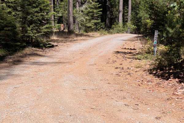
Hall City Creek Road - FS 29N07
This single-lane gravel road begins from the Browns Creek Road - FS 30N01 and connects through to the Potato Creek Road - FS 30N04. The road surface is mostly in good condition, with the exception of one spot with erosion ruts and damage a little over a foot deep. The road is wide enough to meet a...
Learn more about Hall City Creek Road - FS 29N07
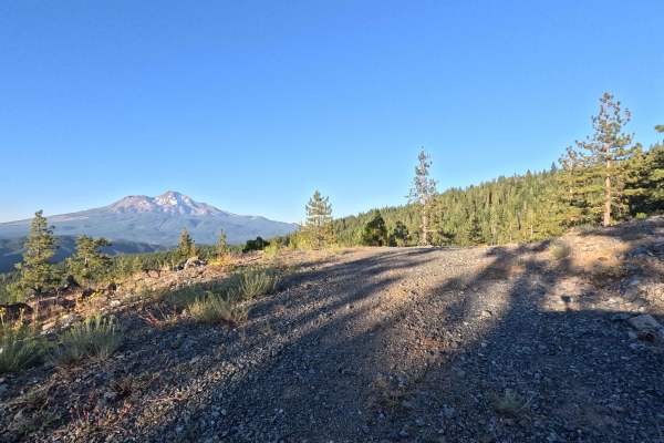
Scott - FS 39N30Y
Winding its way above 5,000 feet in elevation, Scott - FS 39N30Y takes travelers through a beautiful, dense, and quiet evergreen canopy managed by the Shasta National Forest. The public generally uses this remote route as a scenic backcountry exploration spur branching off from Red Hill, which rewar...
Learn more about Scott - FS 39N30Y
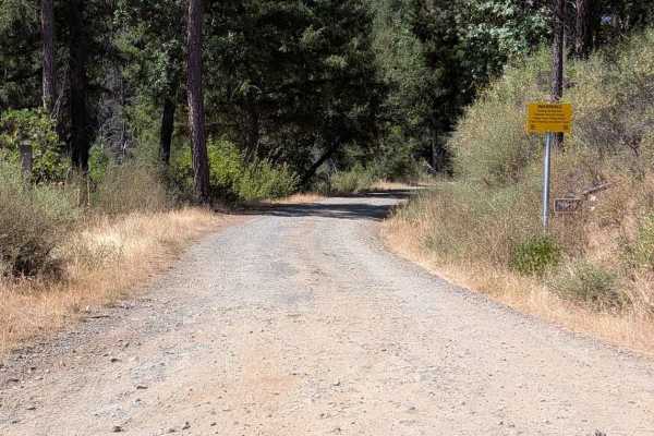
Bridge Gulch Road - FS 31N19
This single lane gravel road begins from Wildwood Road and ends ends at a cattle guard where the road becomes paved at the National Forest boundary, leading to Highway 3. The road has some natural surface sections, with erosion damage up to a foot deep. It also has some exposed embedded rocks and lo...
Learn more about Bridge Gulch Road - FS 31N19
Beginner ATV trails near Central Valley (historical), California
Explore ATV-friendly trails near you. These trails are accessible for vehicles up to 50 inches wide, perfect for ATVs and smaller off-road machines.
Mammoth Mountain Trail 1
This is a wide-open easy trail from the Chappie staging area, past Mammoth Mountain, to a lunch spot. It's easy for all riding abilities, with a ton of overlooks along the way. During the spring, you will find a lot of waterfalls along the road. This route also goes through several burn scars, which...
Learn more about Mammoth Mountain Trail 1
Upper Shotgun Road
Tucked into a classic, lush evergreen forest, Upper Shotgun Road is a quick and peaceful drive under a beautifully shaded woodland canopy. The route begins with a straightforward turn-off, leading you immediately onto a welcoming and clearly defined path. As you journey through the quiet woods, the ...
Learn more about Upper Shotgun Road
Swift Creek - FS 36N25
Swift Creek - FS 36N25 is a highly accessible, beautifully scenic Forest Service road that reaches the trailheads for the Granite Lake and Swift Creek trails in the Trinity Alps Wilderness. As you meander through the dense, towering pine forest, the trail occasionally opens up to offer sweeping, el...
Learn more about Swift Creek - FS 36N25
North Fork Swift Creek - FS 37N55
The overall environment of North Fork Swift Creek provides a beautifully winding, scenic escape that climbs steadily into the lush, shaded reaches of the Shasta National Forest just west of Trinity Lake. Serving as a fantastic woodland connector, this route bridges the Deadhorse Creek area in the no...
Learn more about North Fork Swift Creek - FS 37N55
Beginner UTV/side-by-side trails near Central Valley (historical), California
Find UTV and side-by-side trails near you. These trails accommodate vehicles up to 60 inches wide, ideal for UTVs, side-by-sides, and wider off-road rigs.
Mammoth Mountain Trail 1
This is a wide-open easy trail from the Chappie staging area, past Mammoth Mountain, to a lunch spot. It's easy for all riding abilities, with a ton of overlooks along the way. During the spring, you will find a lot of waterfalls along the road. This route also goes through several burn scars, which...
Learn more about Mammoth Mountain Trail 1
Upper Shotgun Road
Tucked into a classic, lush evergreen forest, Upper Shotgun Road is a quick and peaceful drive under a beautifully shaded woodland canopy. The route begins with a straightforward turn-off, leading you immediately onto a welcoming and clearly defined path. As you journey through the quiet woods, the ...
Learn more about Upper Shotgun Road
Swift Creek - FS 36N25
Swift Creek - FS 36N25 is a highly accessible, beautifully scenic Forest Service road that reaches the trailheads for the Granite Lake and Swift Creek trails in the Trinity Alps Wilderness. As you meander through the dense, towering pine forest, the trail occasionally opens up to offer sweeping, el...
Learn more about Swift Creek - FS 36N25
North Fork Swift Creek - FS 37N55
The overall environment of North Fork Swift Creek provides a beautifully winding, scenic escape that climbs steadily into the lush, shaded reaches of the Shasta National Forest just west of Trinity Lake. Serving as a fantastic woodland connector, this route bridges the Deadhorse Creek area in the no...
Learn more about North Fork Swift Creek - FS 37N55
The onX Offroad Difference
onX Offroad combines trail photos, descriptions, difficulty ratings, width restrictions, seasonality, and more in a user-friendly interface. Available on all devices, with offline access and full compatibility with CarPlay and Android Auto. Discover what you're missing today!
Open Trail Map