Trail Overview
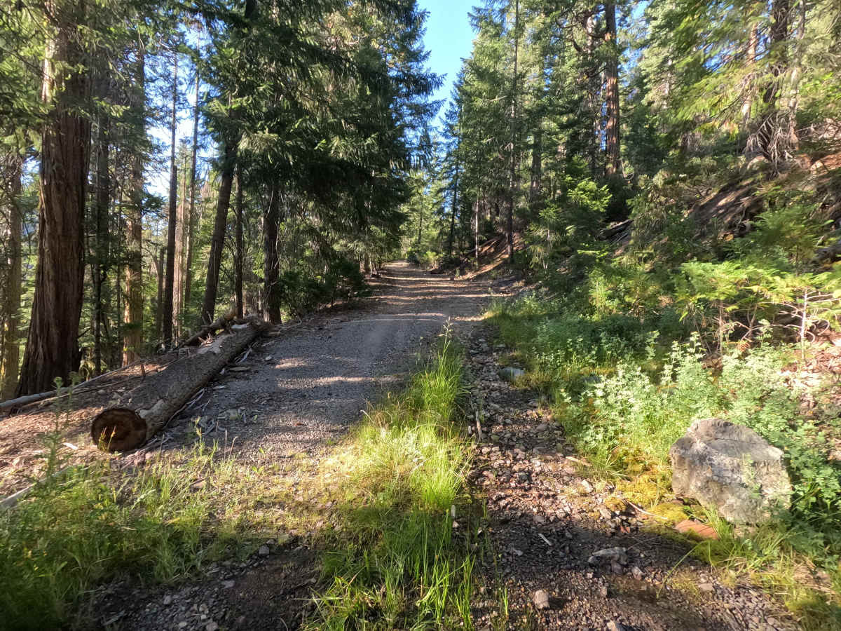
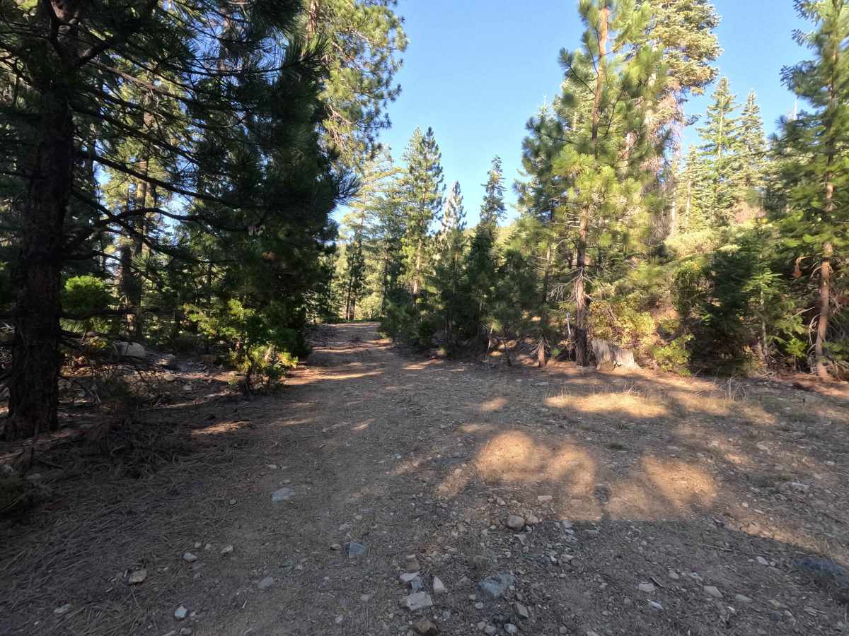
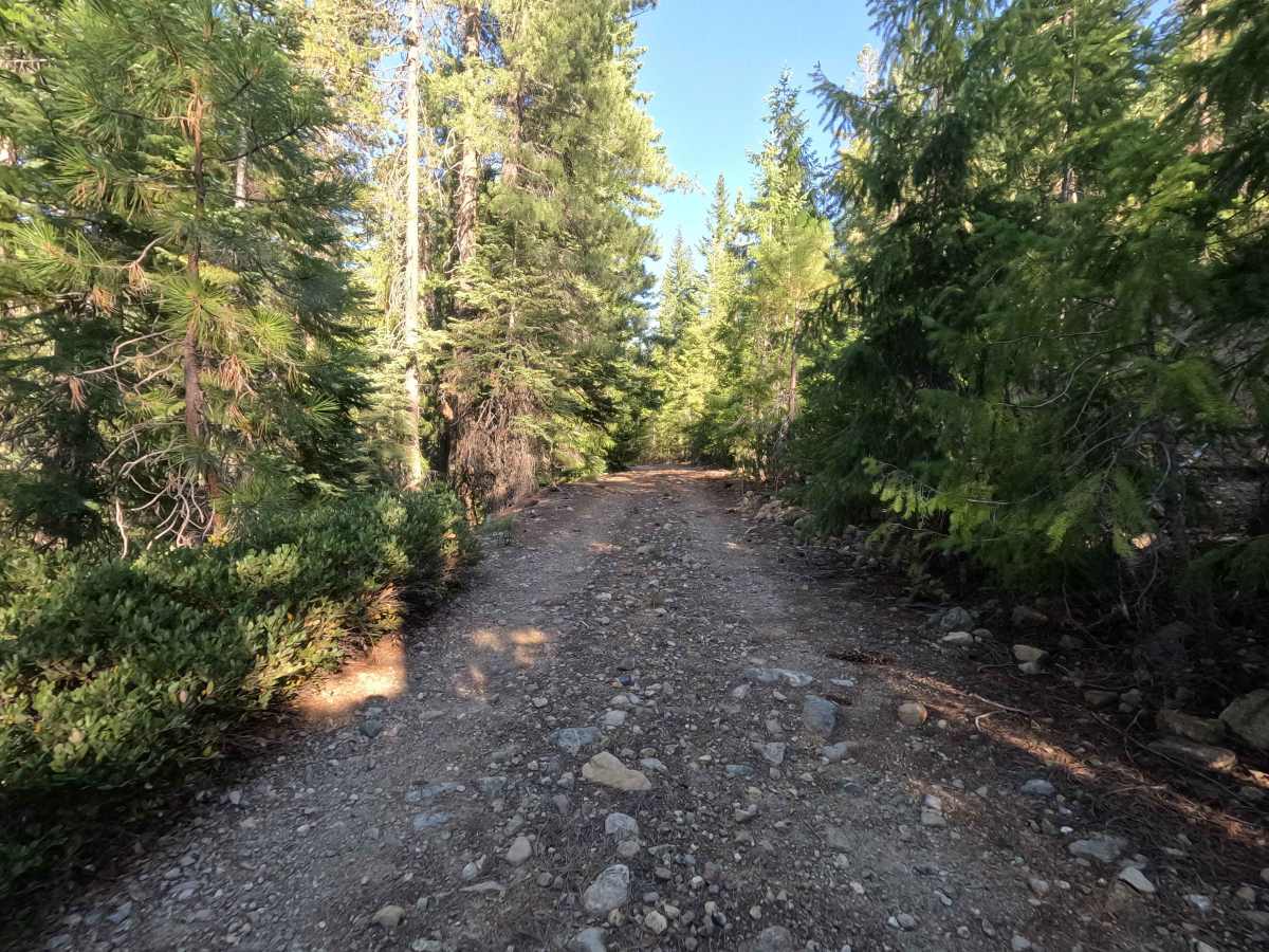
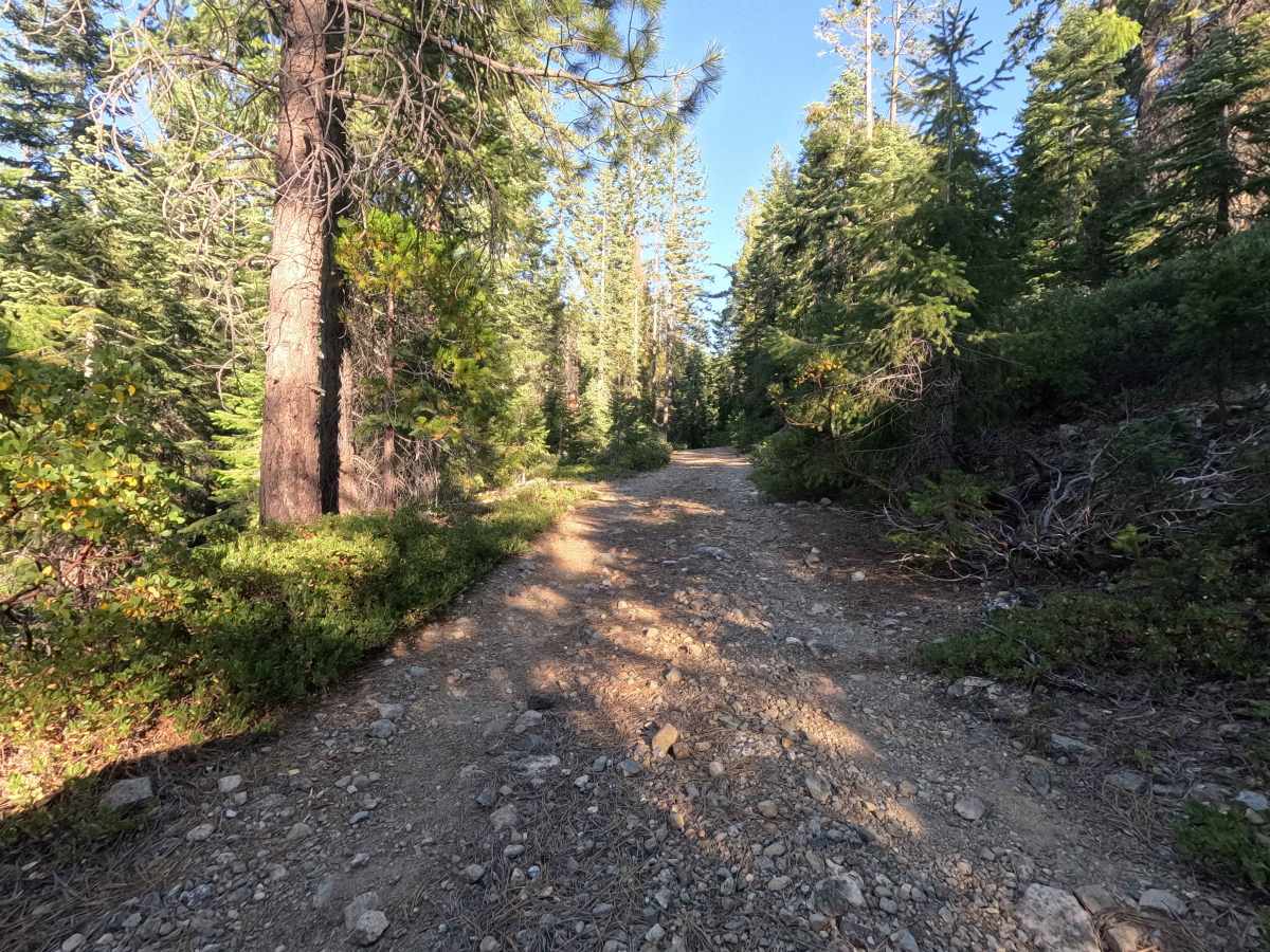
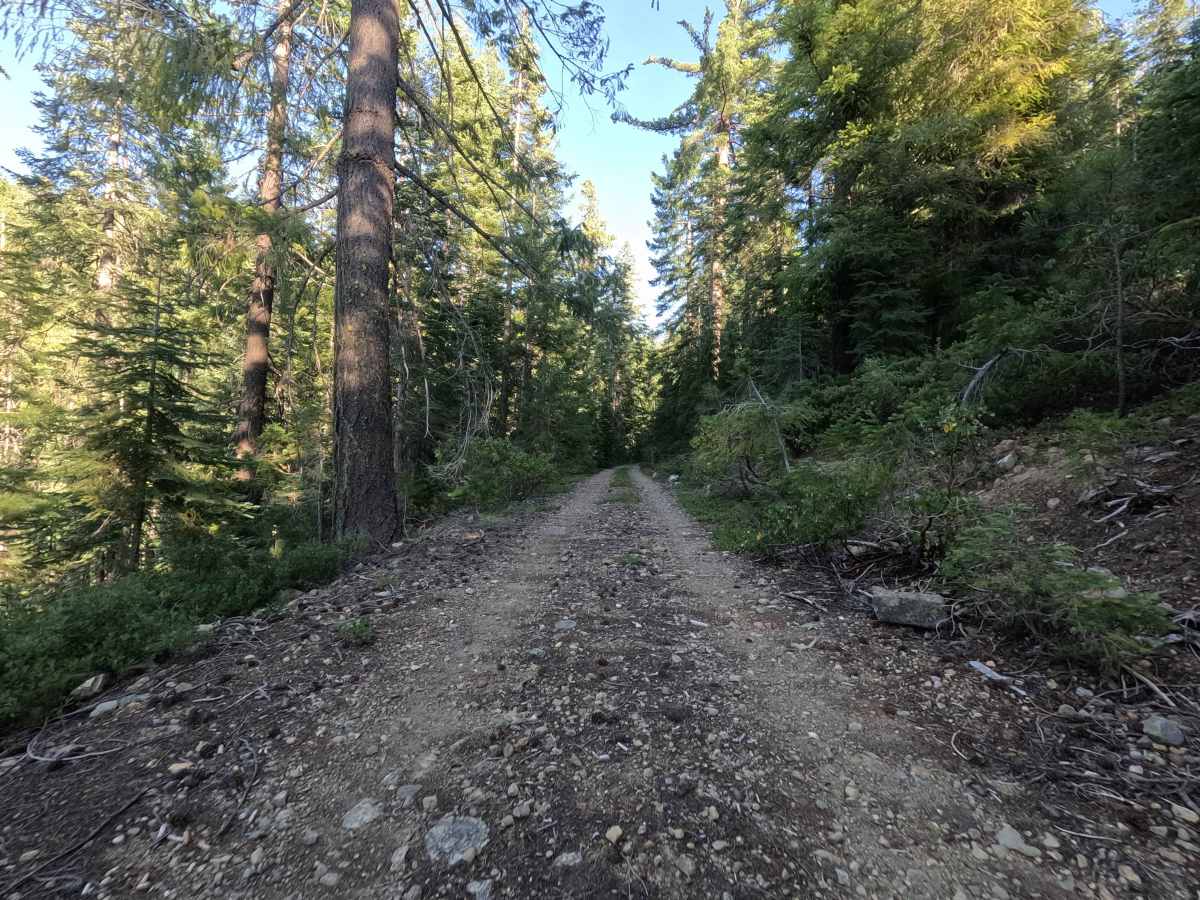
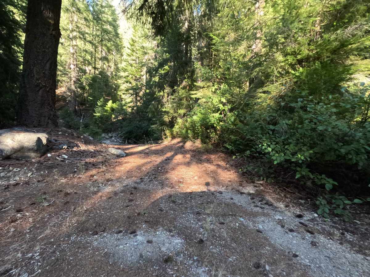
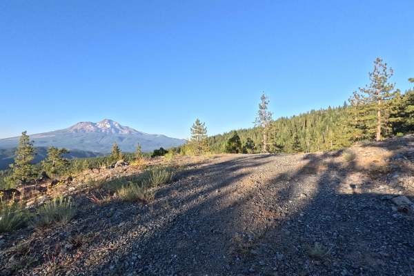
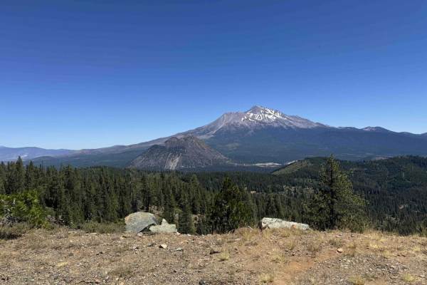
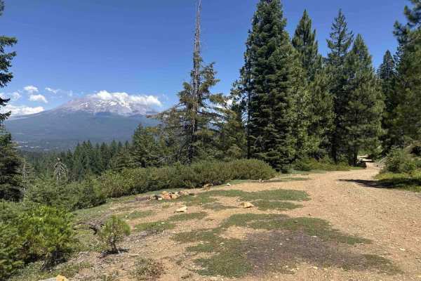
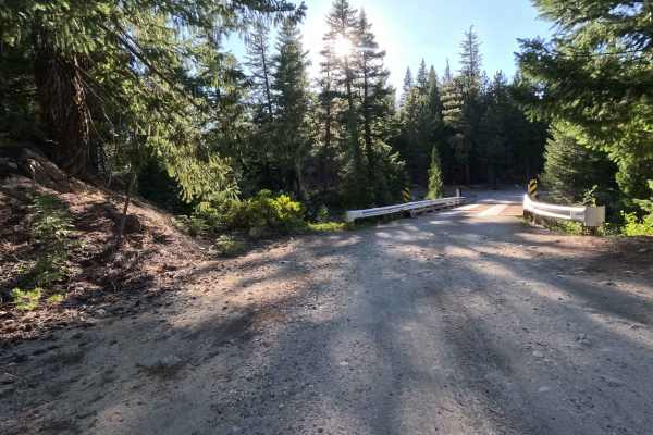
Climbing steadily above 5,000 feet in elevation, Rock Creek - FS 39N78 travels through a dense, towering evergreen canopy with thick manzanita understory within the Shasta National Forest. This little-used offshoot branches up from Red Hill, offering a short, adventurous bypass for travelers looking to explore deeper into the surrounding backcountry forest network. The path begins as a narrow, steep two-track where pine branches and overgrown brush push tight against the edge of the road. As you work your way up the climb, the path features distinct stair-step swoops every few hundred feet before briefly leveling out near a solid, paved concrete creek crossing and culvert. Past the creek crossing, the environment opens slightly, and the trail softens before making one final, loose-gravel incline that continues up until its junction with FS 39N30Y Scott.
Difficulty
Earning a moderate Grade 3 difficulty rating, this tight, little-used two-track transitions from a firm, dirty path into a rough, chunky gravel incline. The primary obstacles on this route are the prominent stair-step swoops encountered during the initial climb, combined with embedded rocks, loose cobble, and encroaching brush that squeezes the narrow trail surface. High-centered humps between the wheel tracks and loose, freshly graveled steep sections past the concrete culvert require careful, steady throttle management and deliberate line selection to maintain continuous traction and prevent undercarriage contact.