Trail Overview
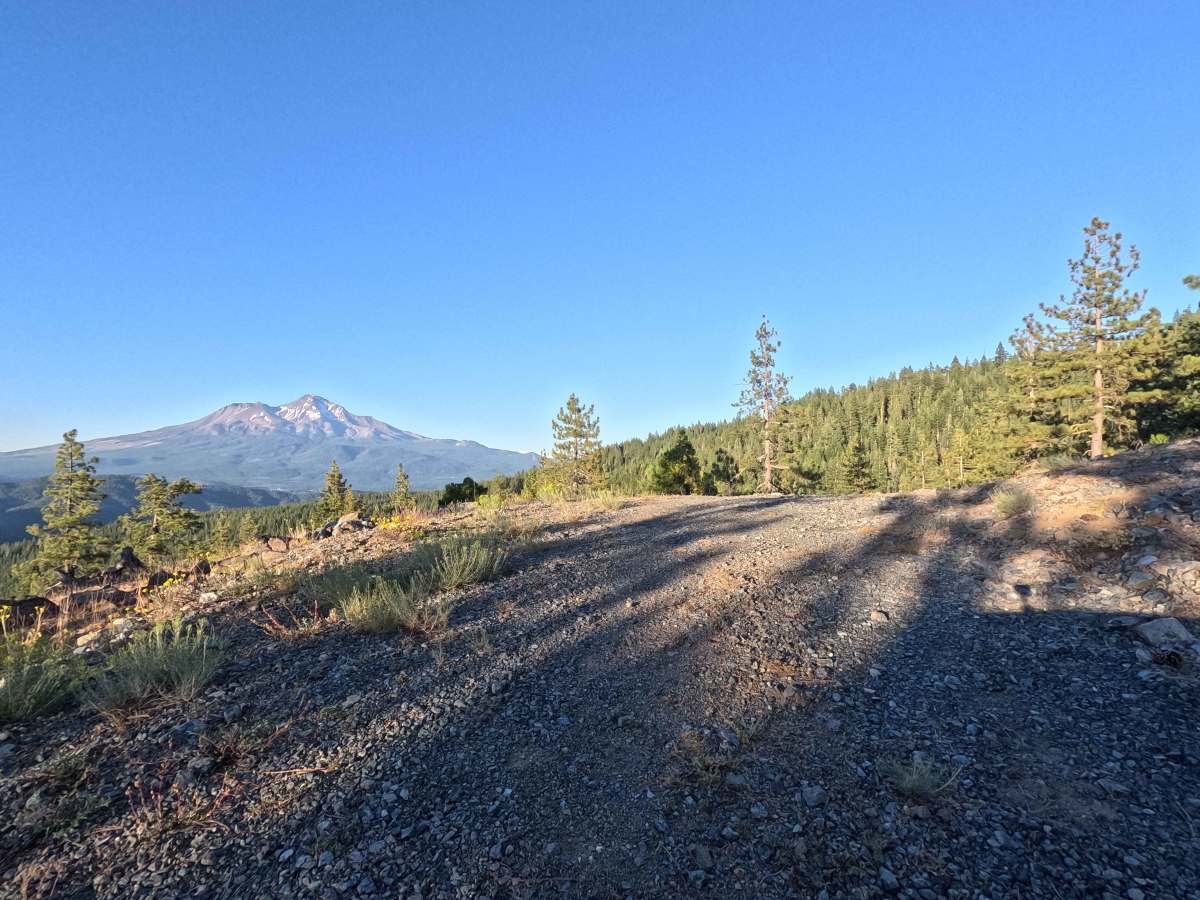
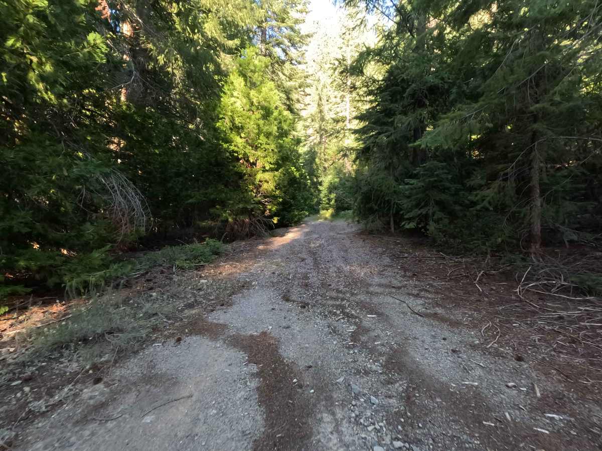
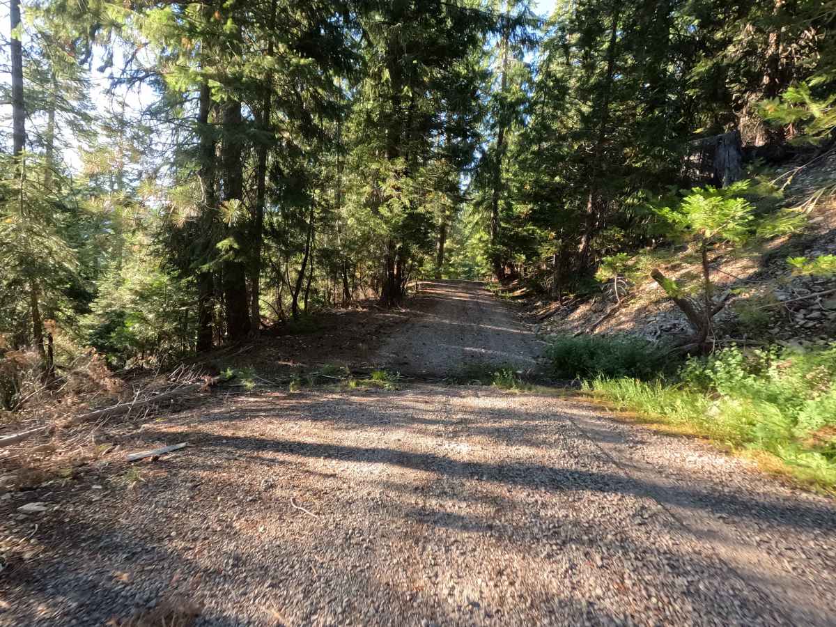
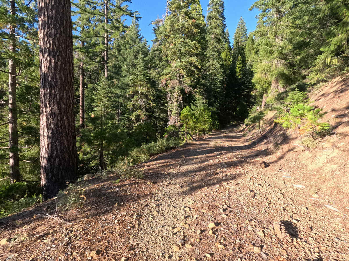
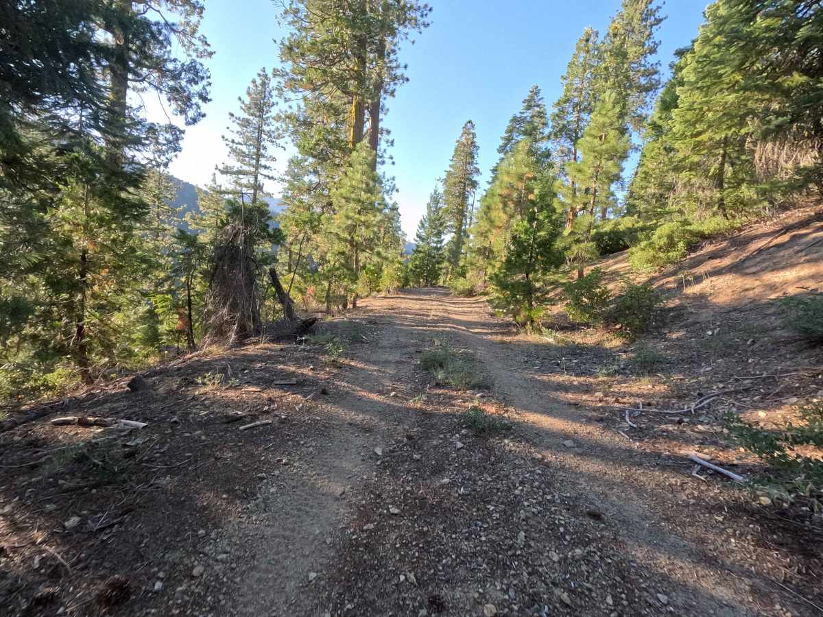
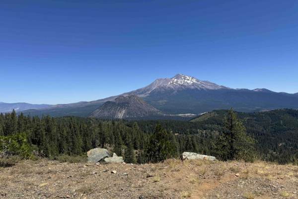
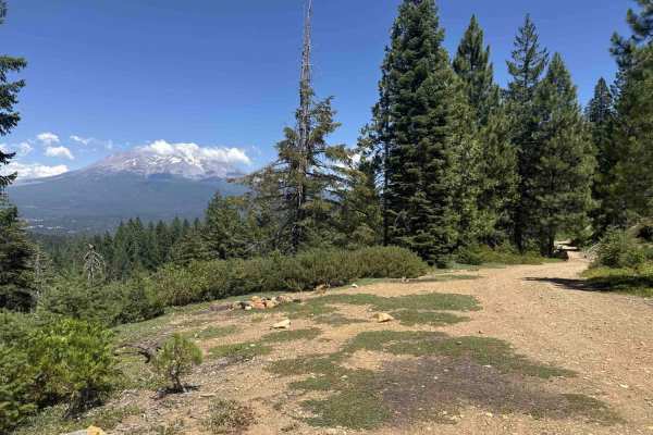
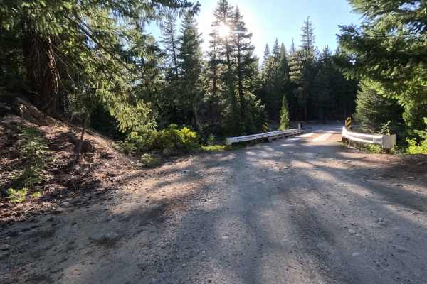
Winding its way above 5,000 feet in elevation, Scott - FS 39N30Y takes travelers through a beautiful, dense, and quiet evergreen canopy managed by the Shasta National Forest. The public generally uses this remote route as a scenic backcountry exploration spur branching off from Red Hill, which rewards visitors just past the one-mile mark with a spectacular, wide-open vista of the majestic Mount Shasta. Earning a moderate Grade 3 difficulty rating, this tight, little-used out-and-back spur consists of a narrow, rocky dirt and gravel two-track that demands careful, focused navigation. As you weave through the quiet woodland, you will notice fresh vegetation sprouting directly between the wheel tracks due to infrequent travel. The path ultimately dead-ends shortly past the intersection with Rock Creek, where large boulders have been deliberately placed across the route to form an unofficial closure. While the trail softens and widens slightly on the final downhill stretch—allowing just enough room for a tight turnaround—most of the journey is strictly a single-car width.
Difficulty
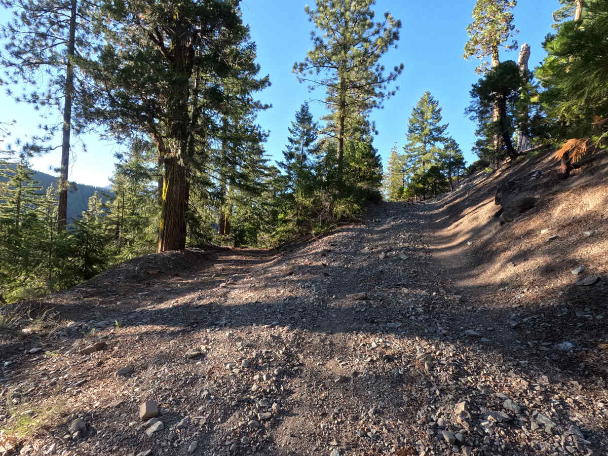
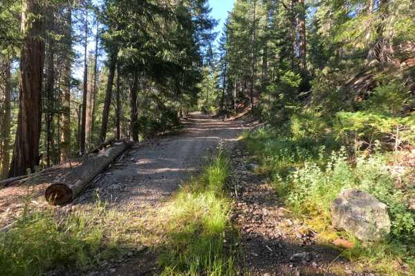
Earning a solid Grade 3 difficulty rating, this very narrow, rocky two-track features several significant traction and clearance challenges. The trail profile frequently moves like a series of long, uneven stair steps, requiring drivers to constantly negotiate prominent earthen mounds and loose, chunky cobble on steep inclines. The most notable obstacle is encountered about a half-mile into the descent, where a sharp, steep turn intersects with a large fallen tree that has been cut just wide enough to clear the path. This specific corner is distinctly sloped and slightly washed out, heavily compromising tire grip. You must use careful line choice and very steady, deliberate momentum to safely overcome this loose, off-camber washout without slipping or losing forward progress.