Trail Overview
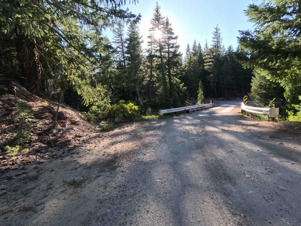
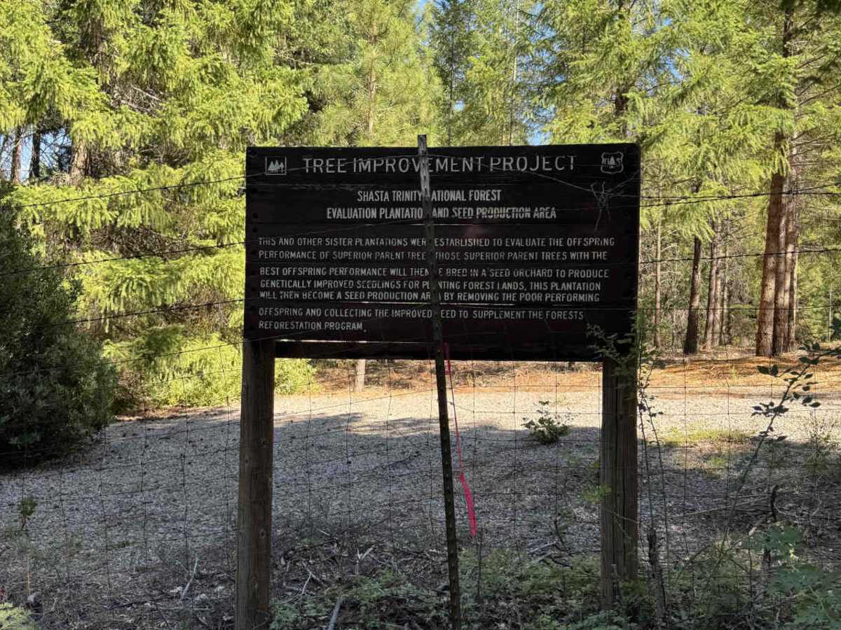
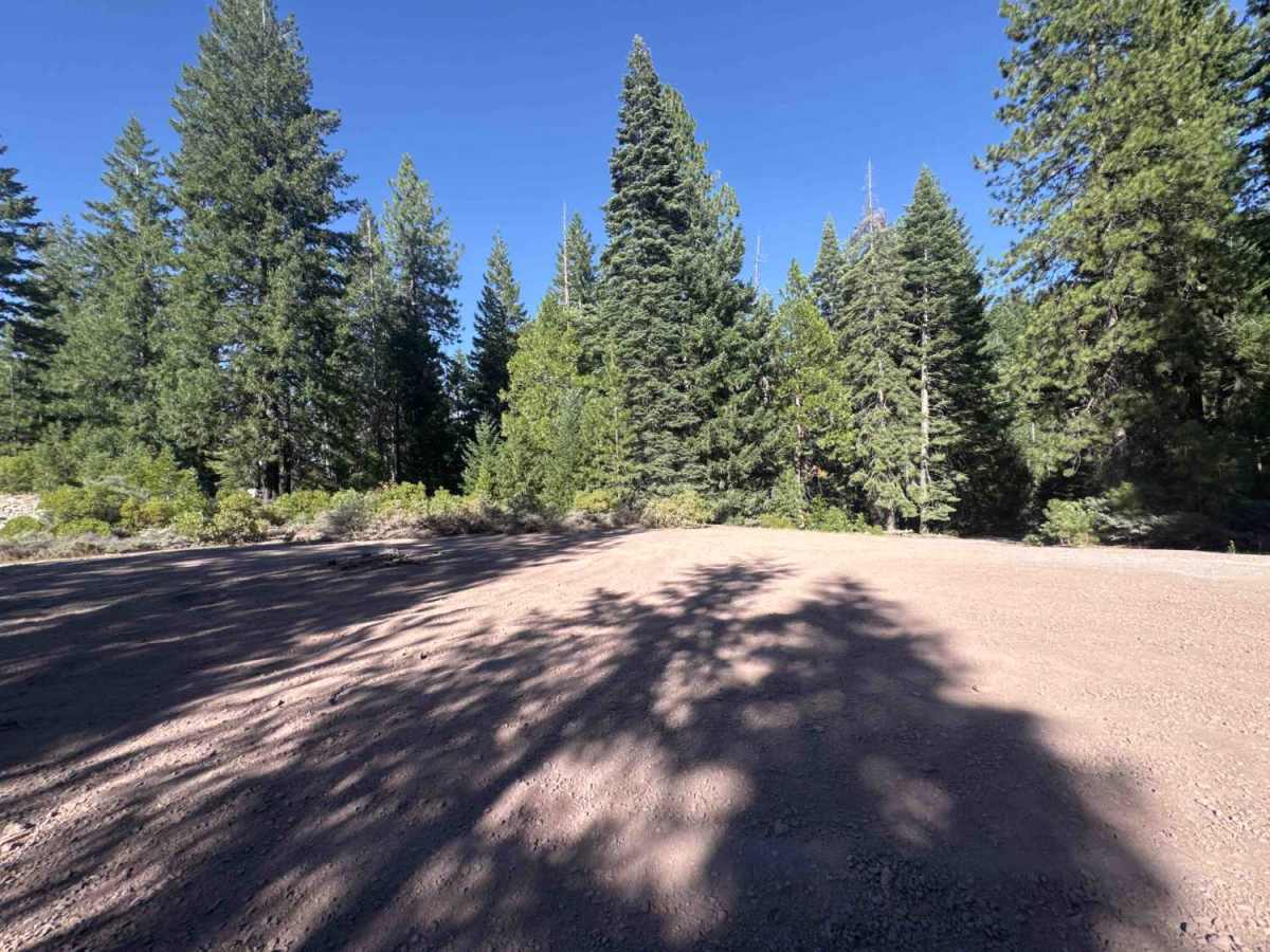
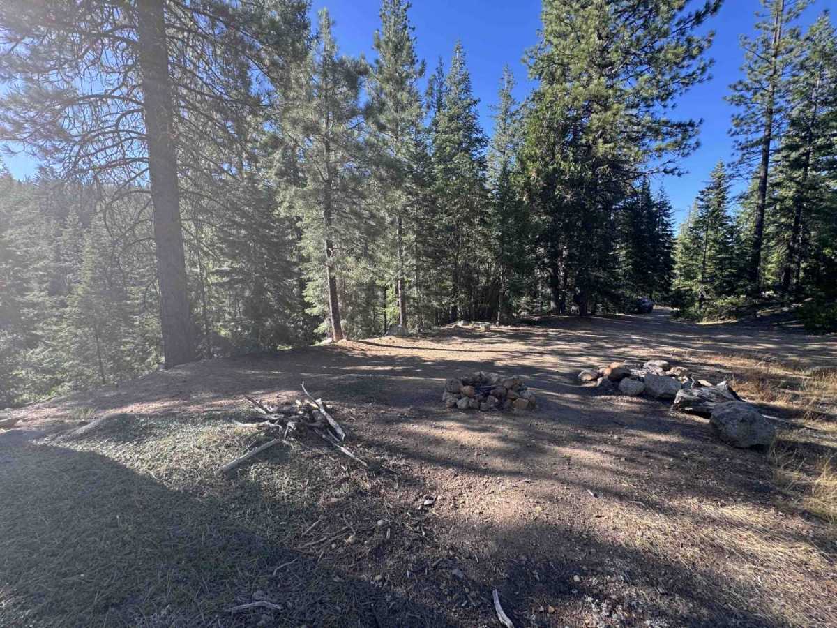
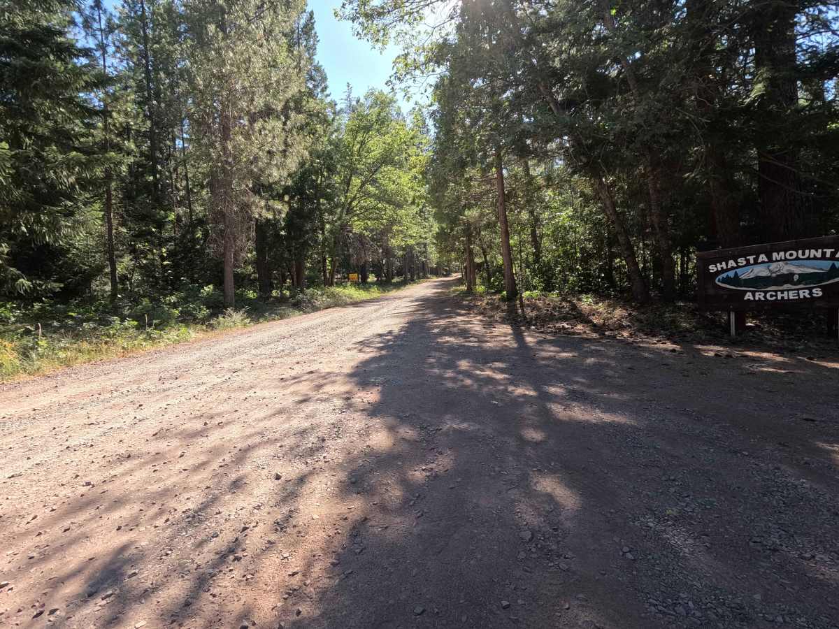
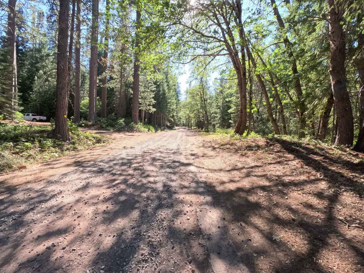
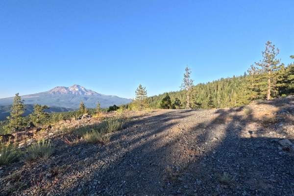
Winding through a beautiful, lush evergreen landscape, Red Hill - FS 40N43 is managed by the Shasta National Forest and offers spectacular views of majestic Mount Shasta. The public often utilizes this route as a highly scenic, unpaved alternate loop off the paved W A Barr Road (FS 26), or to safely access the local Shasta Mountain Archers range located near the start of the trail. The first three-quarters of a mile pass directly through this active archery area, so it is extremely important to obey all posted signage and remain strictly on the main track. As you venture farther in, the route skirts fenced tree-restoration projects and features numerous wide turnouts once used by logging trucks, which now serve as excellent, spacious pull-offs for dispersed camping. Wildlife is abundant in this thriving woodland, so keep your eyes peeled for crossing black bears! The journey ends peacefully as the path widens back into soft dirt, crossing a charming single-lane timber-and-steel bridge over a lovely creek before seamlessly reconnecting to the paved forest road.
Difficulty
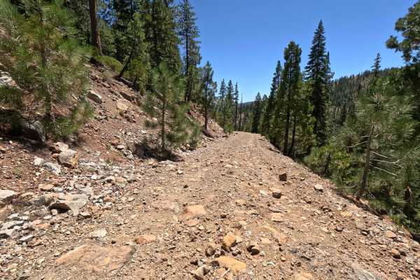
Earning an approachable Grade 2 difficulty rating, this mostly single-lane route features a mixed surface of wide, packed gravel that eventually transitions into a narrower, rockier track with noticeable hillside exposure. While an initial trail marker warns that the road is not maintained for low clearance, the route remains highly navigable if you exercise basic caution. Along the wider stretches, you will encounter occasional water runoff ruts that are easily skirted, random concrete patches embedded in the dirt, and a few gentle dips or swoops. The most demanding section begins around the 4-mile mark, where the path significantly narrows and becomes distinctly rockier on the descent. By taking this narrow portion at a slow, deliberate pace and following the clearly visible tread, you will safely and comfortably conquer this mildly adventurous drive.

 Offroad