
Beginner Off-Road Trails
Near Altus, Arkansas
Explore All Beginner Trails Near Altus, Arkansas
Beginner Off-Road Trails Near Altus, Arkansas
Discover the best beginner-friendly off-road trails near you. These easier, lower-rated trails are a great place to start — browse trail maps, check difficulty ratings, and find your next adventure.
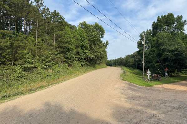
County Road 3080
This maintained gravel route offers an easy drive through a mix of dense pine and hardwood forest, with occasional openings that provide long views of the surrounding Boston Mountains. The road is generally wide enough for two vehicles to pass comfortably and features gentle curves, rolling hills, a...
Learn more about County Road 3080
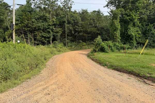
County Road 3091
This maintained gravel road provides a scenic drive through the heart of the Boston Mountains, winding steadily up the hillside with a series of sweeping curves that give the route a switchback-like feel. Towering hardwoods and pines create a shaded canopy over much of the road, while occasional ope...
Learn more about County Road 3091
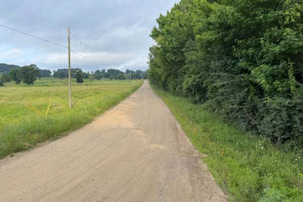
County Road 3190
This maintained gravel road offers a relaxing drive through a blend of open pastureland and dense hardwood forest in the Boston Mountains. The route begins with long views across rolling fields before transitioning beneath a canopy of mature oak and pine trees, creating a peaceful, shaded drive with...
Learn more about County Road 3190
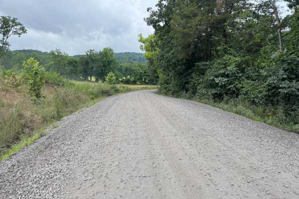
Pink Twist
This well-maintained, graded gravel route provides an easy drive through a scenic mix of forested hills, open valleys, and quiet rural countryside. The route gently winds through mature hardwoods before opening to views of rolling hills and the surrounding Boston Mountains. Along the drive, you'll p...
Learn more about Pink Twist
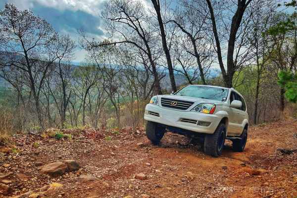
Grassy Point
Near the Horsehead Lake Recreation Area, this trail starts as a mellow gravel road and ascends the mountain, nearing Batson. As you get higher, the trail turns into a bench cut road with a steep drop-off on the east side. Enjoy the views of the valley and lake while climbing a few larger rocks next ...
Learn more about Grassy Point
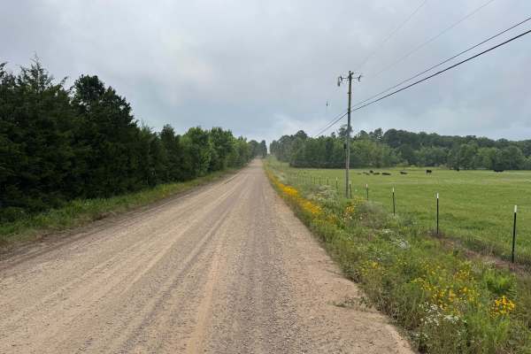
County Road 4021
This maintained gravel route begins where the pavement ends and quickly transitions into a quiet drive through a mix of farmland, rolling hills, and dense trees. The route is generally wide enough for two vehicles to pass comfortably, with only a few short sections narrowing to a single lane where t...
Learn more about County Road 4021
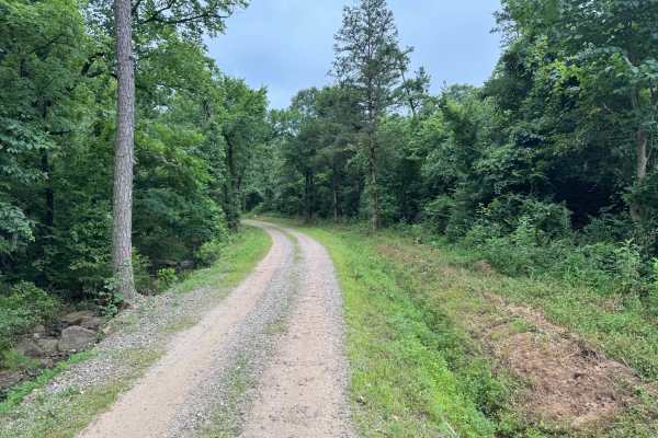
County Road 3161
This maintained gravel road provides an easy and enjoyable drive through a peaceful mix of hardwood forest, small creeks, and rural countryside. The route is well maintained and suitable for any vehicle. Early in the drive, you'll pass a unique stand of native Arkansas clumping bamboo growing along ...
Learn more about County Road 3161
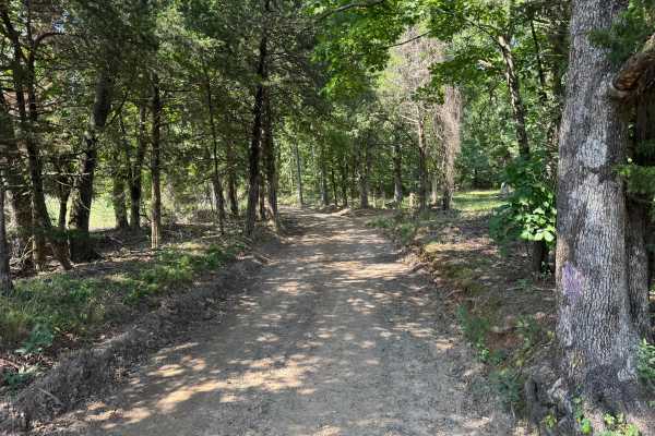
County Road 4015
This route follows a well-maintained gravel road through a beautiful section of the Ozark National Forest, making for a relaxing drive beneath a canopy of towering hardwoods and pines. The route is generally smooth and wide enough for one vehicle, with numerous pull-offs where oncoming traffic can s...
Learn more about County Road 4015
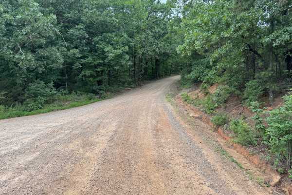
Barnes Road
This route follows a well-maintained gravel road that is easy to drive and contains no major obstacles, making it an excellent option for stock high-clearance vehicles and most SUVs. The road is primarily two vehicles wide, and where it narrows, there are frequent pull-offs that provide enough room ...
Learn more about Barnes Road
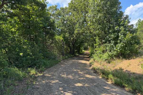
Gene - FS 4406
This out-and-back route follows a well-maintained gravel road through a peaceful stretch of mixed hardwood and pine forest. Tall trees create a shaded canopy over much of the drive, with long straightaways broken up by gentle curves that provide changing views of the surrounding woods. The route fee...
Learn more about Gene - FS 4406
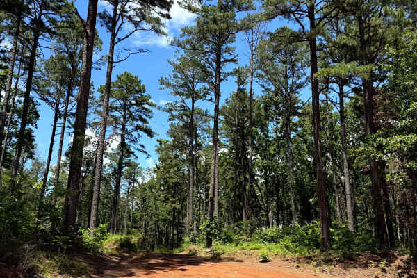
Douglas Dirt
This trail starts off of Barnes Road and heads north into the woods. This trail is doable for most 4x4 vehicles. Along the way, you will find whoops, mudholes with hard rock bottoms, some rutted-out areas, as well as some mud. This trail does come to a dead end and is an out-and-back.
Learn more about Douglas Dirt
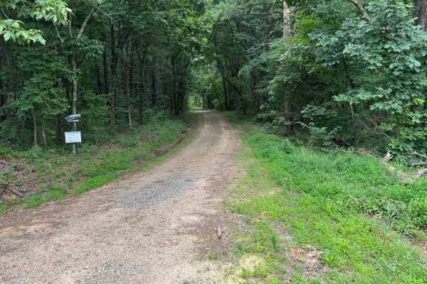
Ephram
This out-and-back gravel route winds through a dense hardwood and pine forest, offering a peaceful drive beneath a canopy of mature trees. The route is generally one vehicle wide, with occasional pull-off areas that make it easy to allow oncoming traffic to pass. Gentle curves keep the drive interes...
Learn more about Ephram
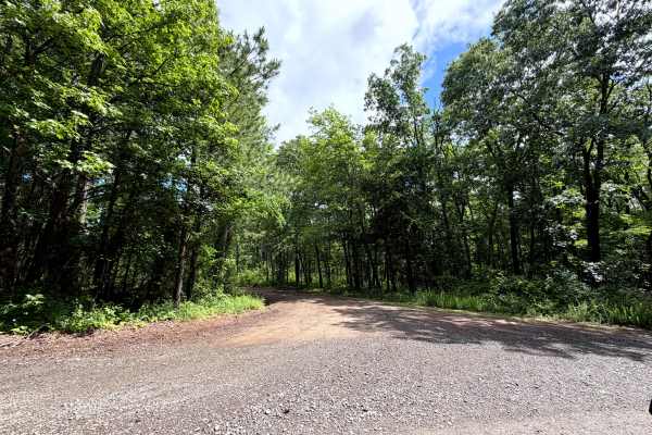
Stratton
This out-and-back route starts on a narrow gravel road that gradually transitions into a dirt base as it winds through a dense forest of towering pines and mature hardwoods. The thick canopy overhead provides shade for much of the drive, while the changing road surface and peaceful woodland scenery ...
Learn more about Stratton
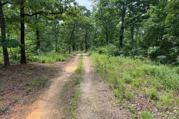
FS 94417B
This out-and-back route follows a narrow two-track through a beautiful mix of mature hardwoods and towering pines, creating a quiet drive beneath a dense green canopy. The route alternates between gravel and packed dirt with a grassy center strip, winding through peaceful forest before briefly emerg...
Learn more about FS 94417B
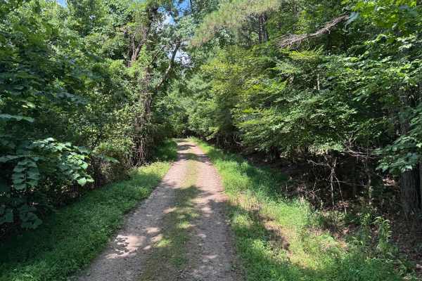
Alexander
This out-and-back route winds through a quiet section of the Ozark National Forest, following a narrow gravel road beneath a dense canopy of hardwoods and pines. The trail begins at an easy-to-miss entrance, so slow down as you approach the starting point. Much of the drive is shaded by mature trees...
Learn more about Alexander
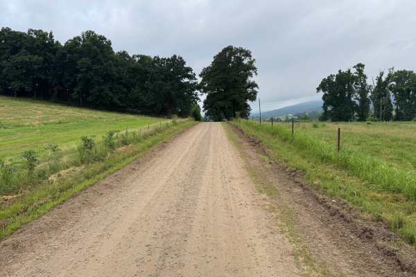
County Road 4100
This maintained gravel route offers an easy drive through a mix of open pastureland, mature hardwoods, and quiet rural countryside. The road is generally one vehicle wide, with frequent pull-offs to allow oncoming traffic to pass. You'll travel beneath a canopy of large trees before emerging into op...
Learn more about County Road 4100
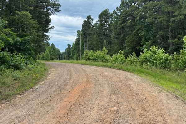
County Road 4250
This out-and-back route provides a relaxing drive through a landscape that differs from much of the surrounding Boston Mountains. The trail begins beneath a dense canopy of hardwoods before passing a shallow creek crossing and continuing along a well-maintained gravel road that winds through peacefu...
Learn more about County Road 4250
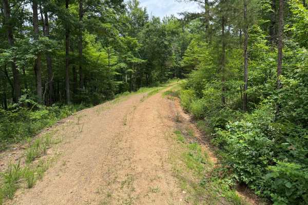
Poison Ivy
This out-and-back route follows a well-traveled gravel road that climbs gradually along the side of a wooded ridge before ending at a spacious turnaround. The drive winds through a beautiful mix of mature hardwoods and tall pines, with dense green forest surrounding the road for nearly its entire le...
Learn more about Poison Ivy
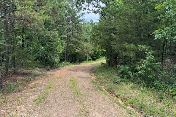
Wolly Bugger
This out-and-back spur follows a quiet gravel road as it winds through a scenic hardwood and pine forest. The route is generally one vehicle wide, although there are several wider sections where drivers can safely pull over to allow oncoming traffic to pass. Gentle curves and rolling terrain make fo...
Learn more about Wolly Bugger
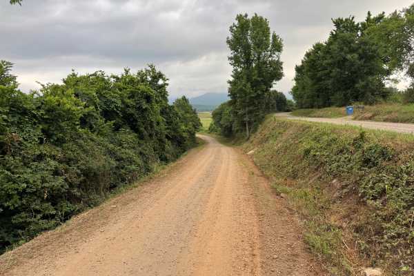
County Road 3261
This maintained gravel road offers a quiet and scenic drive through a blend of wooded hollows, rolling pastureland, and expansive views of the Boston Mountains. While the roadway is generally one vehicle wide, there are numerous pull-off areas where drivers can safely allow oncoming traffic to pass....
Learn more about County Road 3261
Beginner ATV trails near Altus, Arkansas
Explore ATV-friendly trails near you. These trails are accessible for vehicles up to 50 inches wide, perfect for ATVs and smaller off-road machines.
Grassy Point
Near the Horsehead Lake Recreation Area, this trail starts as a mellow gravel road and ascends the mountain, nearing Batson. As you get higher, the trail turns into a bench cut road with a steep drop-off on the east side. Enjoy the views of the valley and lake while climbing a few larger rocks next ...
Learn more about Grassy Point
Gene - FS 4406
This out-and-back route follows a well-maintained gravel road through a peaceful stretch of mixed hardwood and pine forest. Tall trees create a shaded canopy over much of the drive, with long straightaways broken up by gentle curves that provide changing views of the surrounding woods. The route fee...
Learn more about Gene - FS 4406
Douglas Dirt
This trail starts off of Barnes Road and heads north into the woods. This trail is doable for most 4x4 vehicles. Along the way, you will find whoops, mudholes with hard rock bottoms, some rutted-out areas, as well as some mud. This trail does come to a dead end and is an out-and-back.
Learn more about Douglas Dirt
Glory
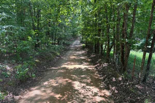
This out-and-back route begins as a well-maintained gravel forest road winding beneath a dense canopy of hardwoods, with filtered sunlight creating a peaceful drive through the Ozark National Forest. Early in the route, the road is generally one vehicle wide but includes several wider pull-offs wher...
Learn more about Glory
Beginner UTV/side-by-side trails near Altus, Arkansas
Find UTV and side-by-side trails near you. These trails accommodate vehicles up to 60 inches wide, ideal for UTVs, side-by-sides, and wider off-road rigs.
Grassy Point
Near the Horsehead Lake Recreation Area, this trail starts as a mellow gravel road and ascends the mountain, nearing Batson. As you get higher, the trail turns into a bench cut road with a steep drop-off on the east side. Enjoy the views of the valley and lake while climbing a few larger rocks next ...
Learn more about Grassy Point
Gene - FS 4406
This out-and-back route follows a well-maintained gravel road through a peaceful stretch of mixed hardwood and pine forest. Tall trees create a shaded canopy over much of the drive, with long straightaways broken up by gentle curves that provide changing views of the surrounding woods. The route fee...
Learn more about Gene - FS 4406
Douglas Dirt
This trail starts off of Barnes Road and heads north into the woods. This trail is doable for most 4x4 vehicles. Along the way, you will find whoops, mudholes with hard rock bottoms, some rutted-out areas, as well as some mud. This trail does come to a dead end and is an out-and-back.
Learn more about Douglas Dirt
Ephram
This out-and-back gravel route winds through a dense hardwood and pine forest, offering a peaceful drive beneath a canopy of mature trees. The route is generally one vehicle wide, with occasional pull-off areas that make it easy to allow oncoming traffic to pass. Gentle curves keep the drive interes...
Learn more about Ephram
The onX Offroad Difference
onX Offroad combines trail photos, descriptions, difficulty ratings, width restrictions, seasonality, and more in a user-friendly interface. Available on all devices, with offline access and full compatibility with CarPlay and Android Auto. Discover what you're missing today!
Open Trail Map