Trail Overview
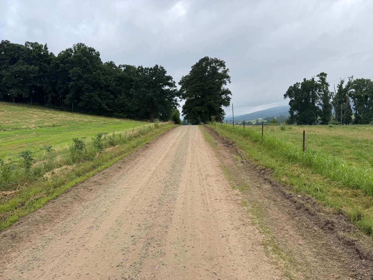
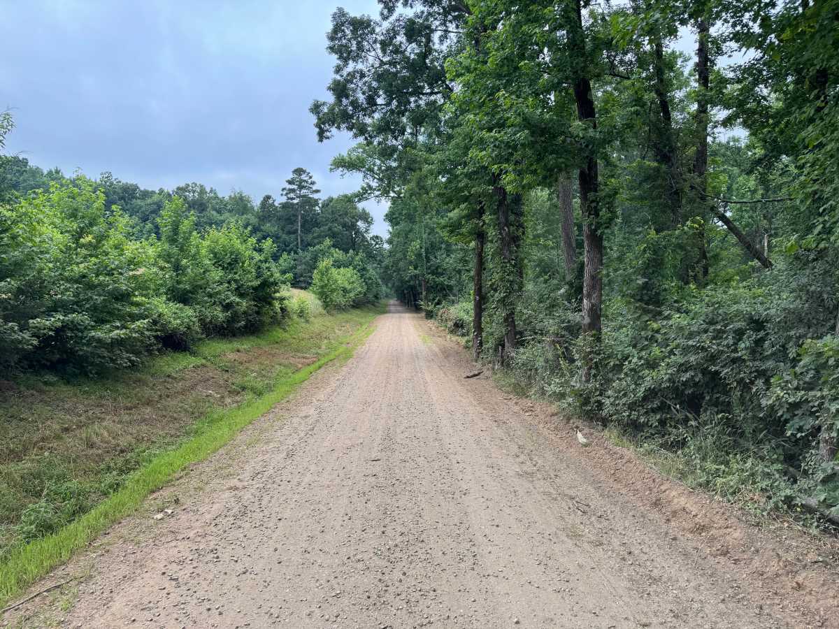
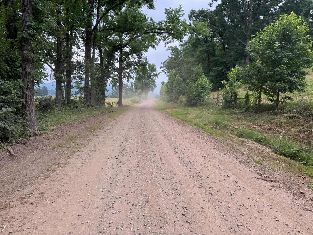
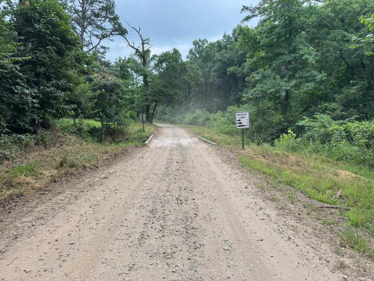
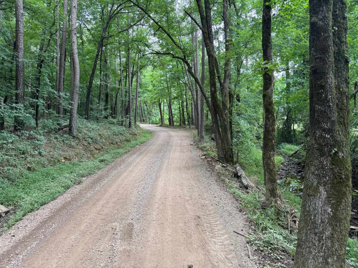
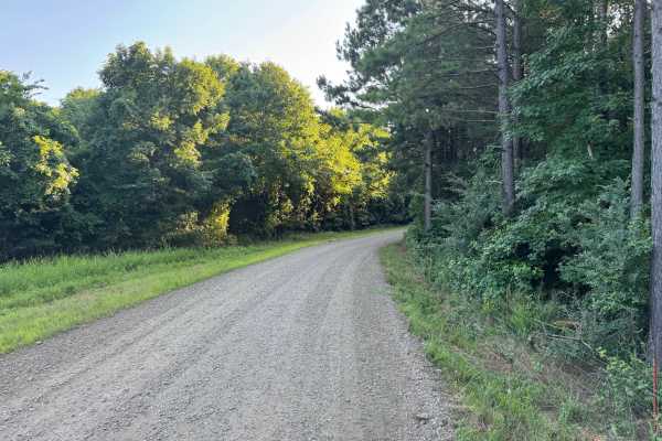
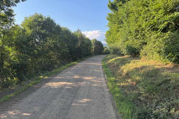
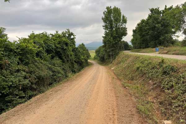
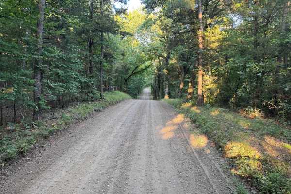
This maintained gravel route offers an easy drive through a mix of open pastureland, mature hardwoods, and quiet rural countryside. The road is generally one vehicle wide, with frequent pull-offs to allow oncoming traffic to pass. You'll travel beneath a canopy of large trees before emerging into open fields with scenic views of the surrounding Boston Mountains. A unique feature of this route is a dense stand of clumping bamboo near the junction with County Road 3161. The bamboo is located on private property, so please remain on the public route and respect all property boundaries. The route also crosses a narrow one-lane concrete bridge over a small creek. Be alert for wildlife, pets near nearby homes, and the possibility of downed trees or limbs after storms.
Difficulty
The route is primarily one vehicle wide but includes numerous pull-offs for passing. The only feature requiring extra attention is a narrow one-lane bridge. There are no technical obstacles, rock ledges, deep ruts, or water crossings. Drivers should simply be aware of occasional wildlife, pets near residences, downed trees after storms, and loose gravel on corners or hills.
History
The Ozark National Forest was established in 1908 and today forms part of the Ozark-St. Francis National Forests, protecting more than one million acres across northern Arkansas. Many of the Forest Service roads traveled today began as logging, fire access, or resource management roads before becoming part of the modern recreation network. Forest management continues to play an important role in maintaining healthy ecosystems through timber management, prescribed fire, wildlife habitat restoration, and watershed protection. The rugged Boston Mountains and surrounding Ozark Highlands remain one of the oldest and most geologically significant mountain regions in North America, offering visitors a unique combination of natural beauty and rich forest history.