Trail Overview
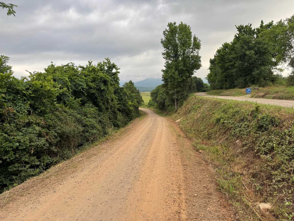
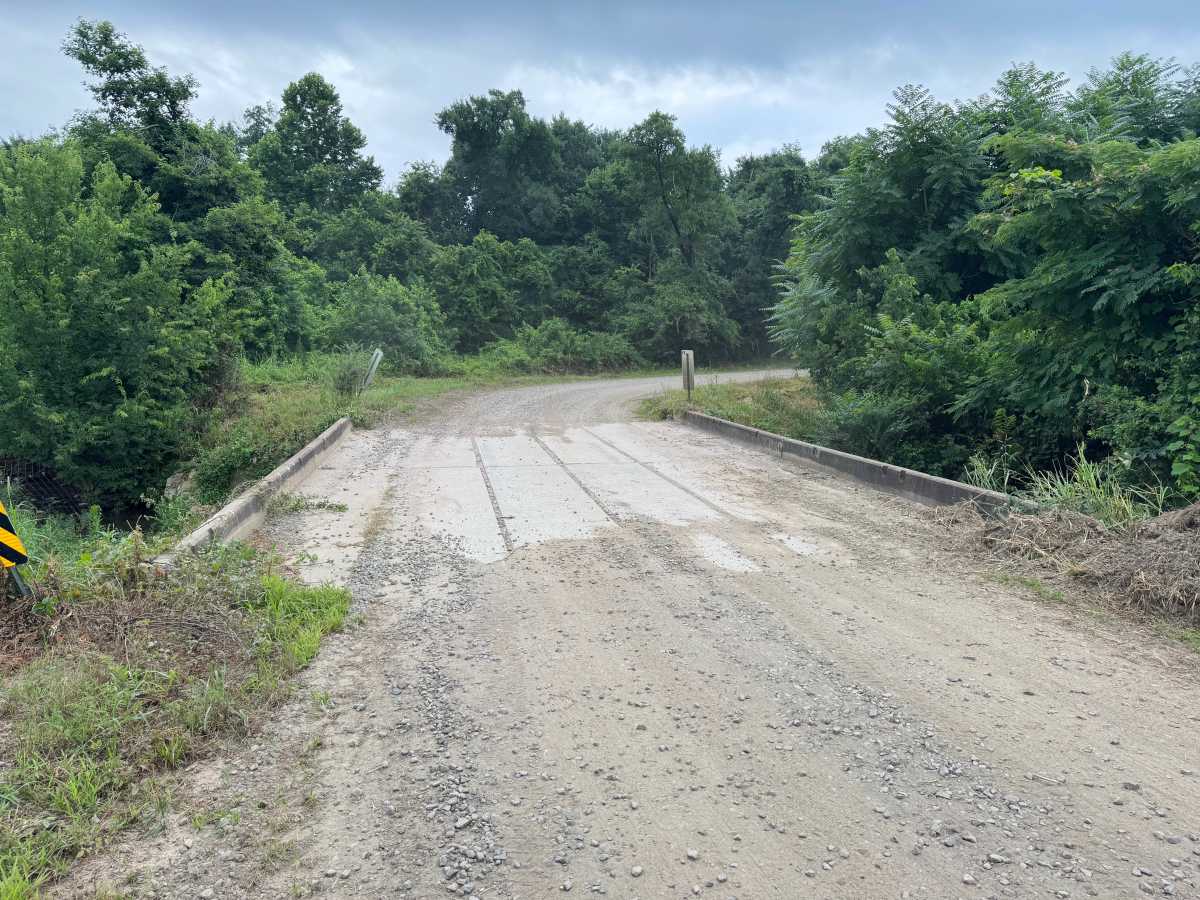
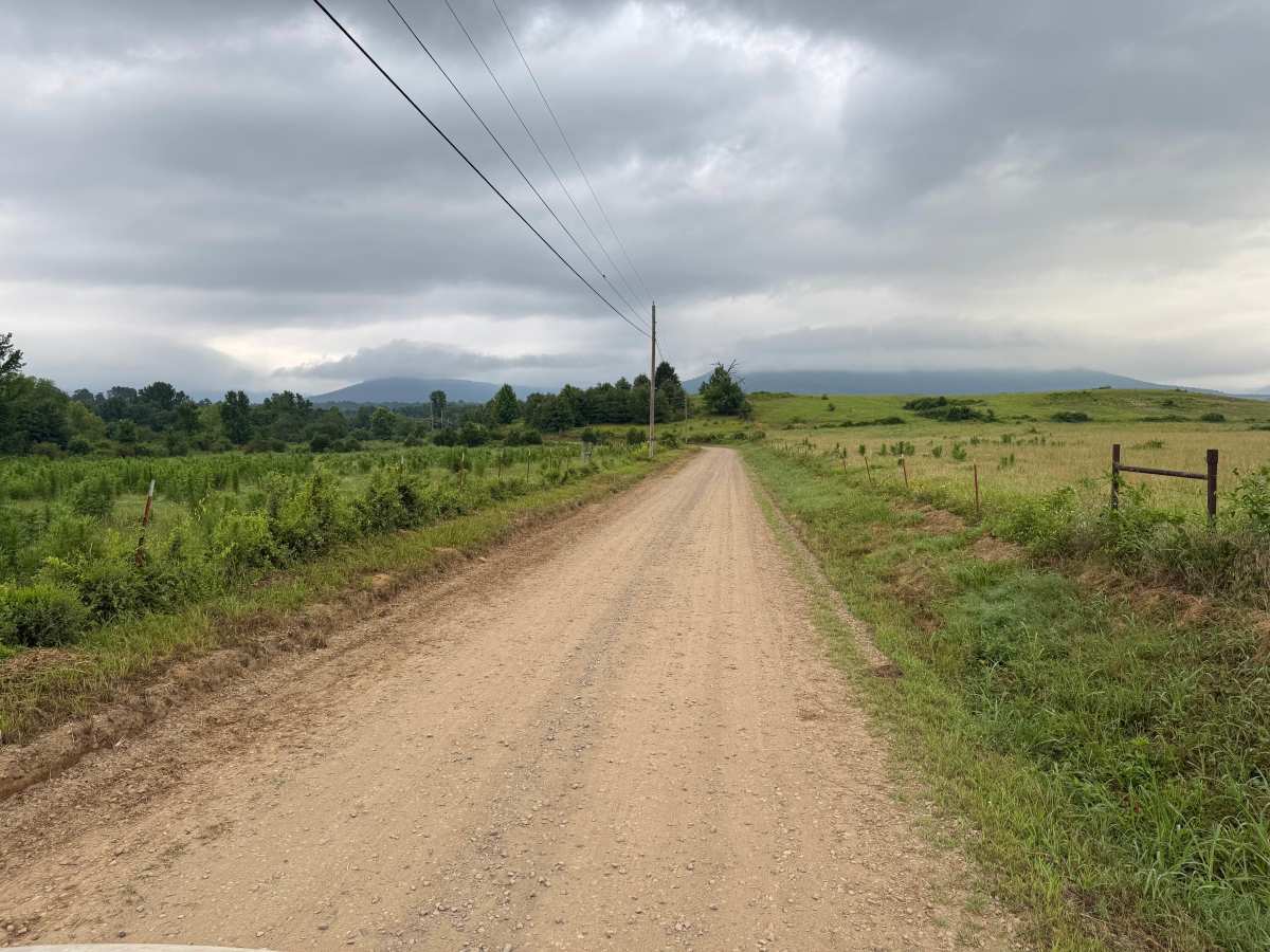
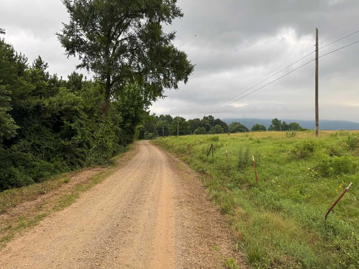
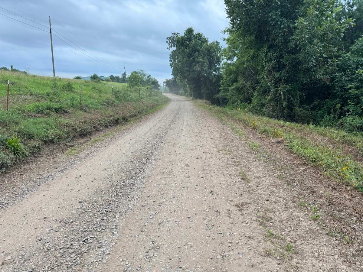
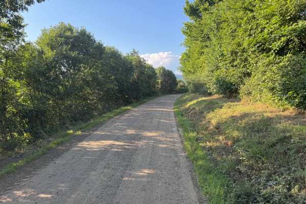
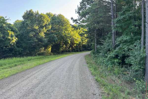
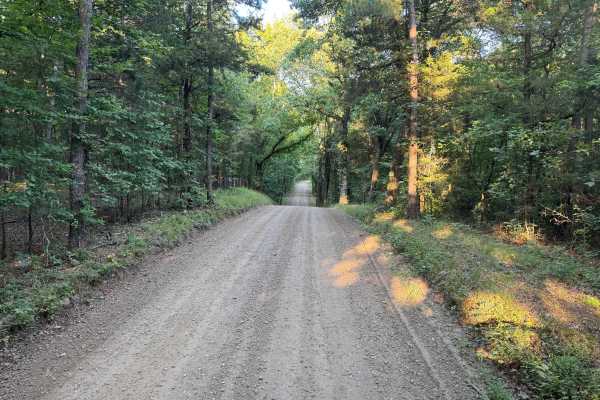
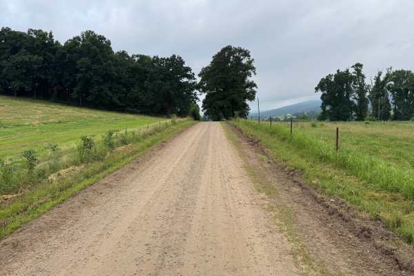
This maintained gravel road offers a quiet and scenic drive through a blend of wooded hollows, rolling pastureland, and expansive views of the Boston Mountains. While the roadway is generally one vehicle wide, there are numerous pull-off areas where drivers can safely allow oncoming traffic to pass. Heading north, the route opens into broad meadows and working farmland, providing excellent views of the mountain ridges rising in the distance. The changing scenery alternates between dense stands of mature hardwoods, tree-lined corridors, and open fields that showcase the natural beauty of the Ozarks. A small concrete bridge crosses a seasonal creek, adding another point of interest without presenting any significant obstacle. Because the road passes several private homes, farms, and fenced pastures, remain on the designated roadway and respect all private property boundaries.
Difficulty
This route is suitable for nearly any high-clearance or stock vehicle in dry conditions, as there are no technical challenges or difficult terrain. The primary hazards are those commonly found on rural backroads, including wildlife, free-roaming pets near residences, and the possibility of downed trees or limbs after storms.
History
The Ozark National Forest was established in 1908 and today forms part of the Ozark-St. Francis National Forests, protecting more than one million acres across northern Arkansas. Many of the Forest Service roads traveled today began as logging, fire access, or resource management roads before becoming part of the modern recreation network. Forest management continues to play an important role in maintaining healthy ecosystems through timber management, prescribed fire, wildlife habitat restoration, and watershed protection. The rugged Boston Mountains and surrounding Ozark Highlands remain one of the oldest and most geologically significant mountain regions in North America, offering visitors a unique combination of natural beauty and rich forest history.