Trail Overview
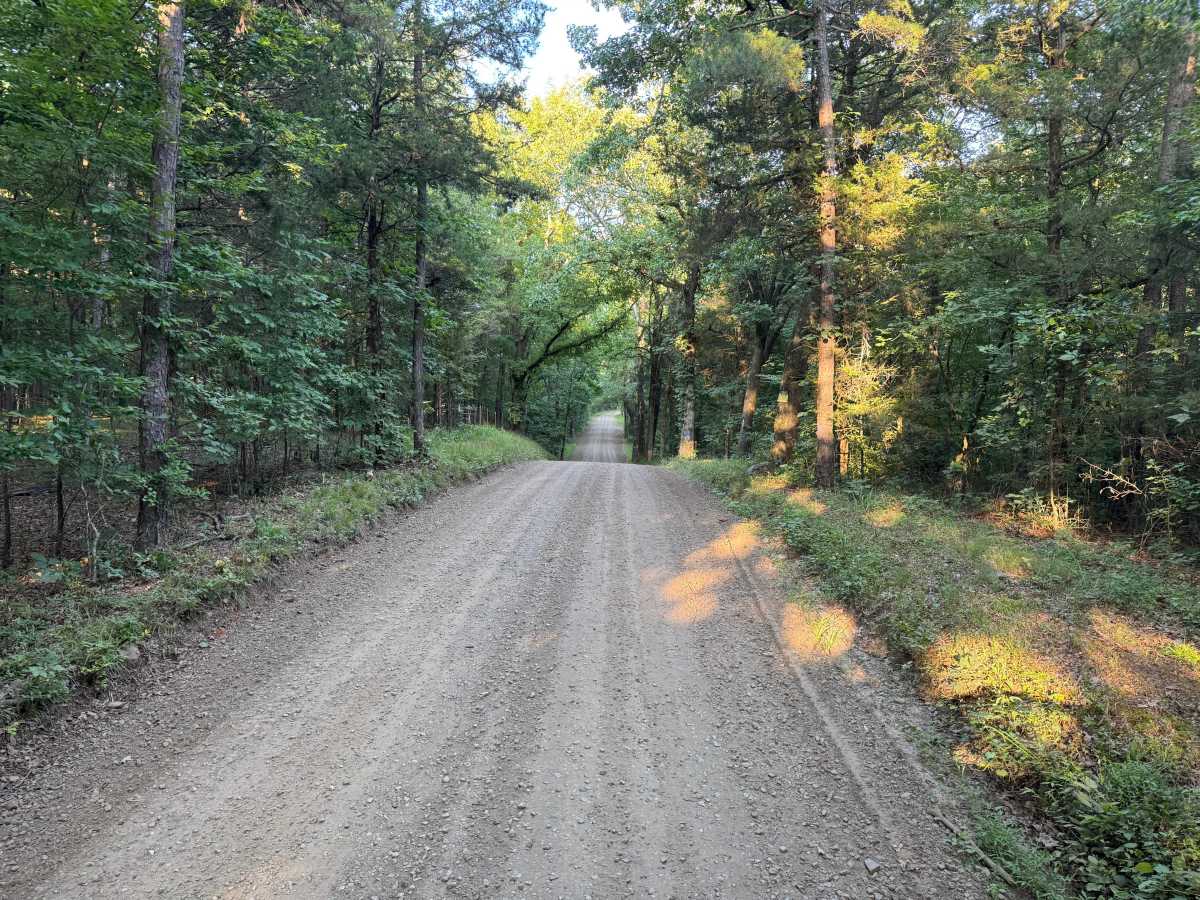
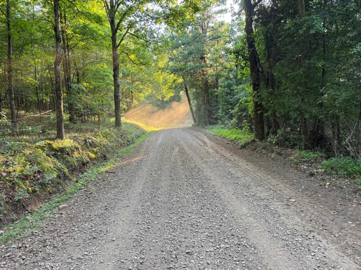
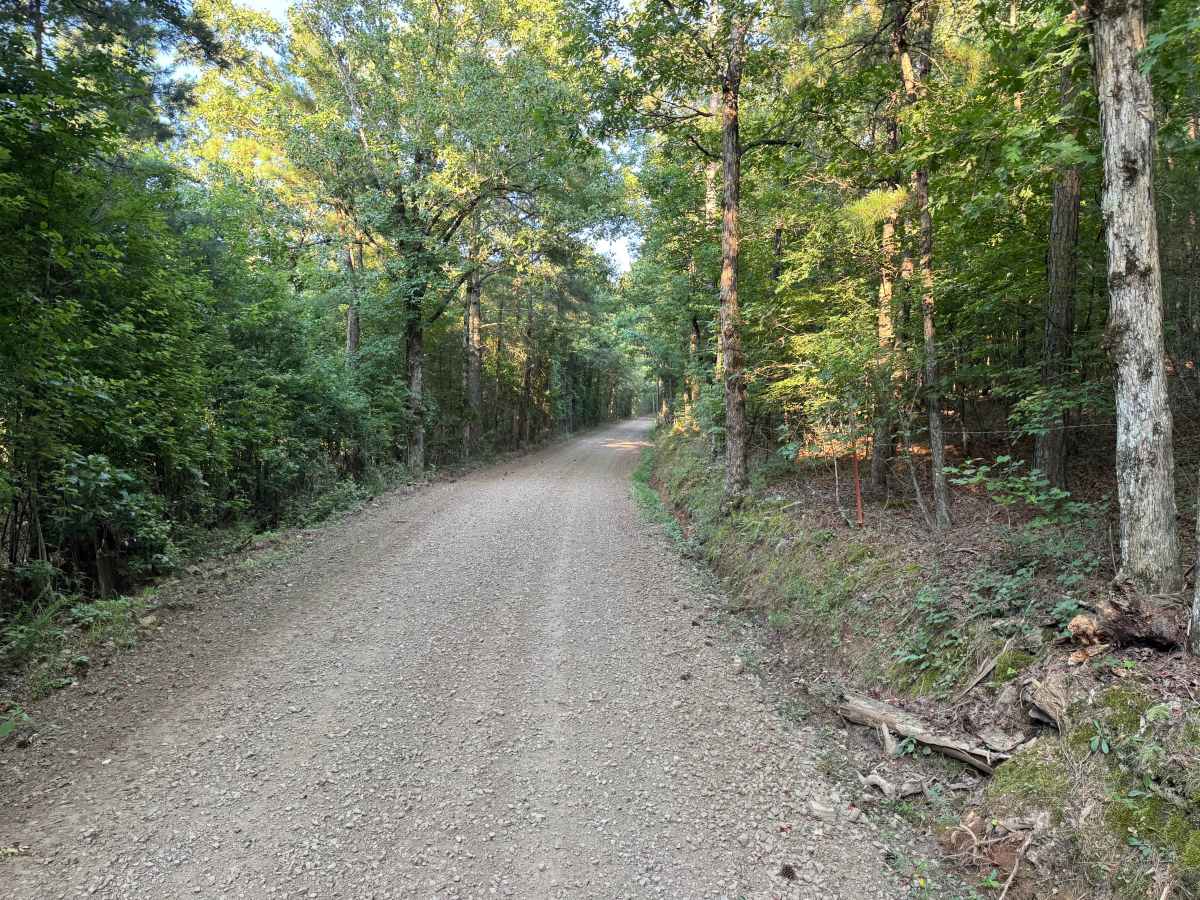
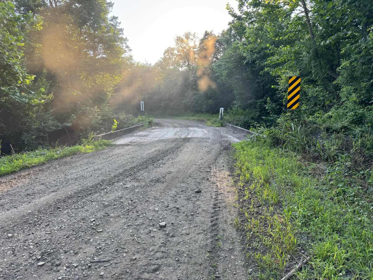
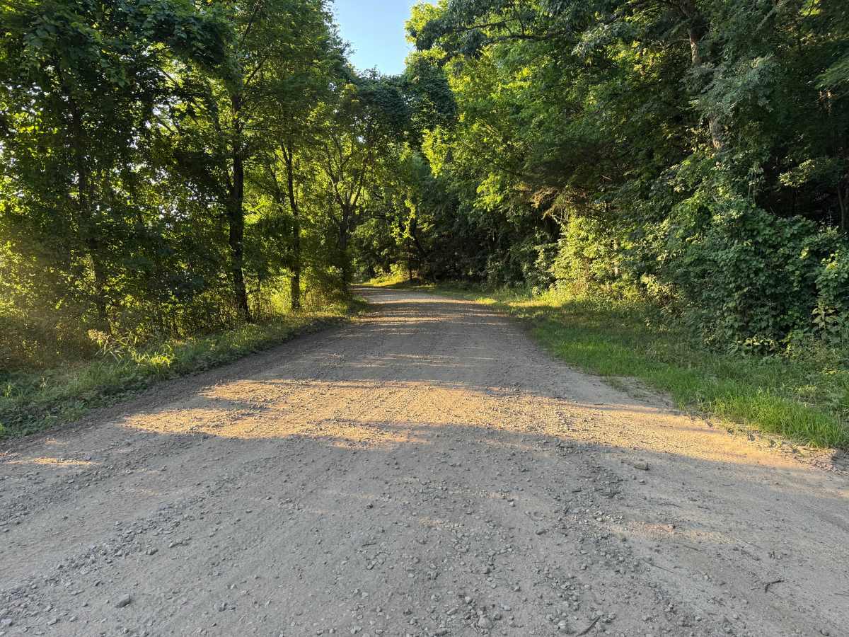
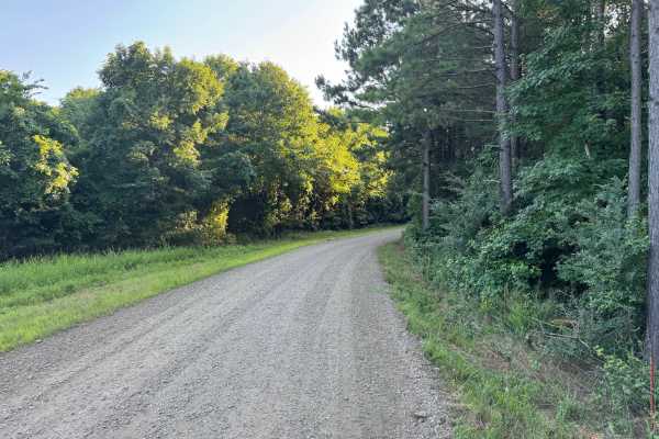
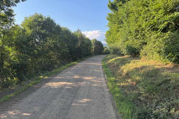
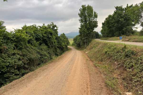
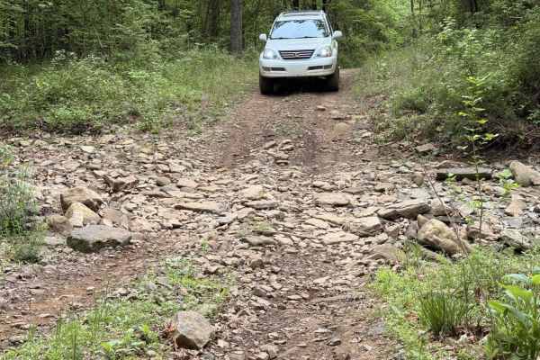
This well-maintained gravel route winds through a peaceful section of the countryside, offering a relaxing drive beneath a canopy of mature pines and hardwoods. The route gently rolls over small hills and follows gradual curves, with sunlight filtering through the trees and creating beautiful patches of light across the roadway. In several areas, the trees open just enough to reveal long views down the route before disappearing back into the dense trees. A small bridge crosses a seasonal drainage, adding a scenic landmark without presenting any significant obstacle. The route surface is generally smooth and regularly graded, making it suitable for most stock high-clearance vehicles and many passenger vehicles during dry conditions. Portions of the route pass near private property, so please respect property boundaries, reduce your speed when passing homes, and watch for pets that may be near or on the roadway. Like many routes in the area, storms can occasionally leave fallen trees across the route, and wildlife such as deer, turkey, and smaller animals frequently cross the road.
Difficulty
The route consists of a smooth graded surface with gentle hills and sweeping curves that are easily navigated by any stock 2WD or 4WD vehicle in normal conditions. A small bridge crosses a drainage but presents no difficulty beyond watching for oncoming traffic if another vehicle is approaching. The primary hazards are environmental rather than technical. Drivers should be prepared for occasional loose gravel, fallen trees after storms, wildlife crossing the roadway, and pets near the sections that pass private property.
History
The Ozark National Forest was established in 1908 and today forms part of the Ozark-St. Francis National Forests, protecting more than one million acres across northern Arkansas. Many of the Forest Service roads traveled today began as logging, fire access, or resource management roads before becoming part of the modern recreation network. Forest management continues to play an important role in maintaining healthy ecosystems through timber management, prescribed fire, wildlife habitat restoration, and watershed protection. The rugged Boston Mountains and surrounding Ozark Highlands remain one of the oldest and most geologically significant mountain regions in North America, offering visitors a unique combination of natural beauty and rich forest history.