Trail Overview
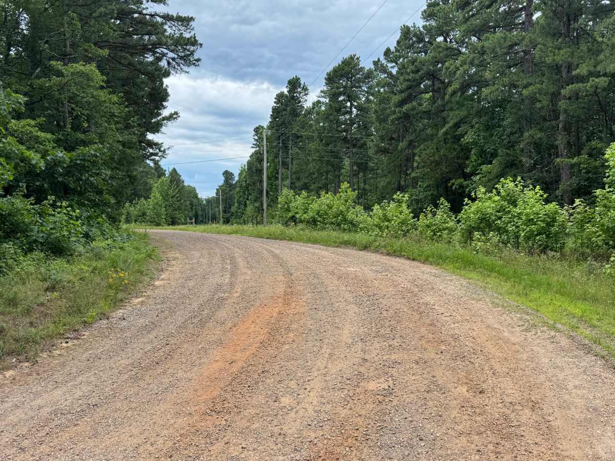
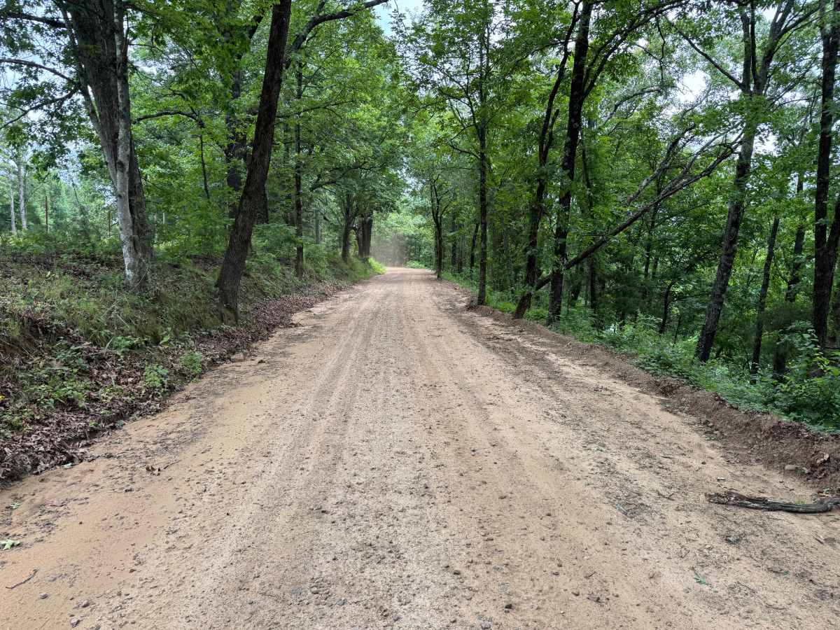
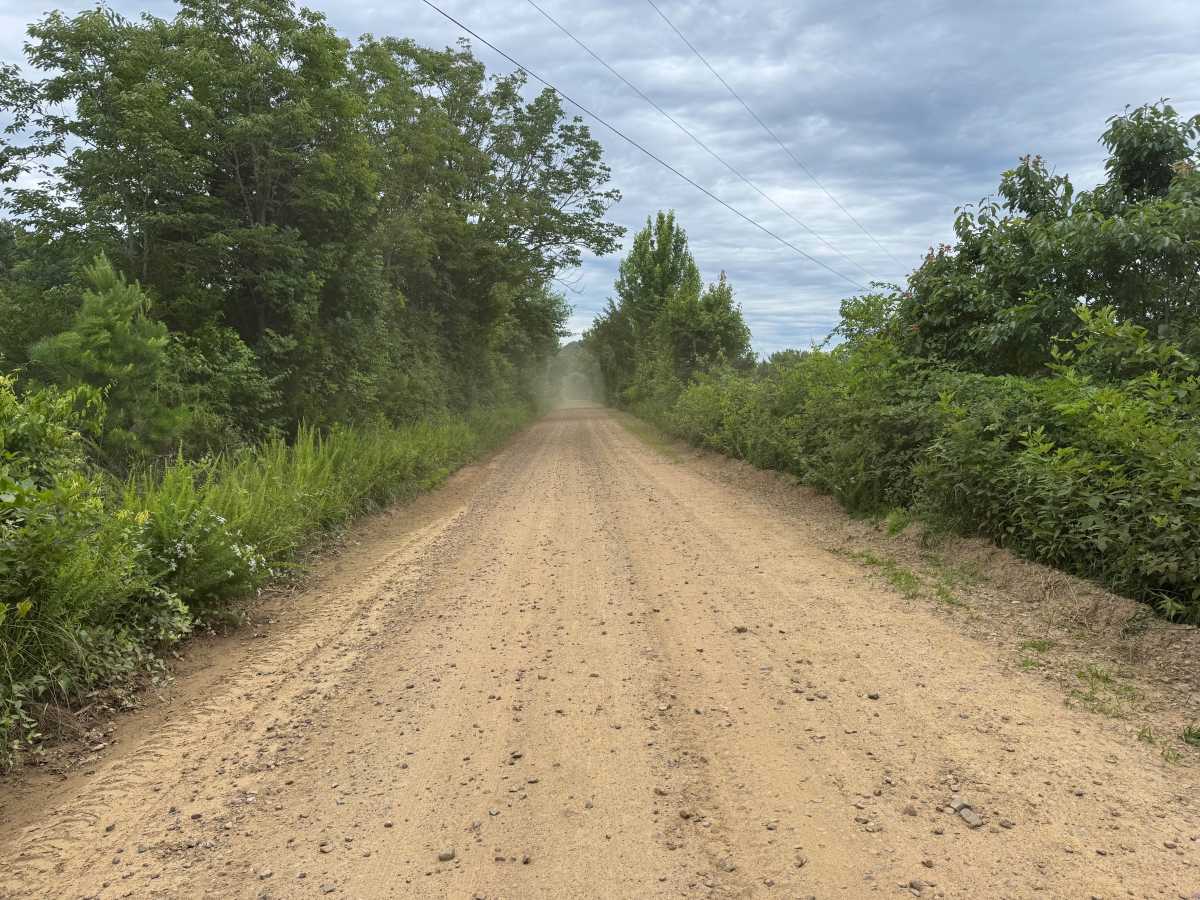
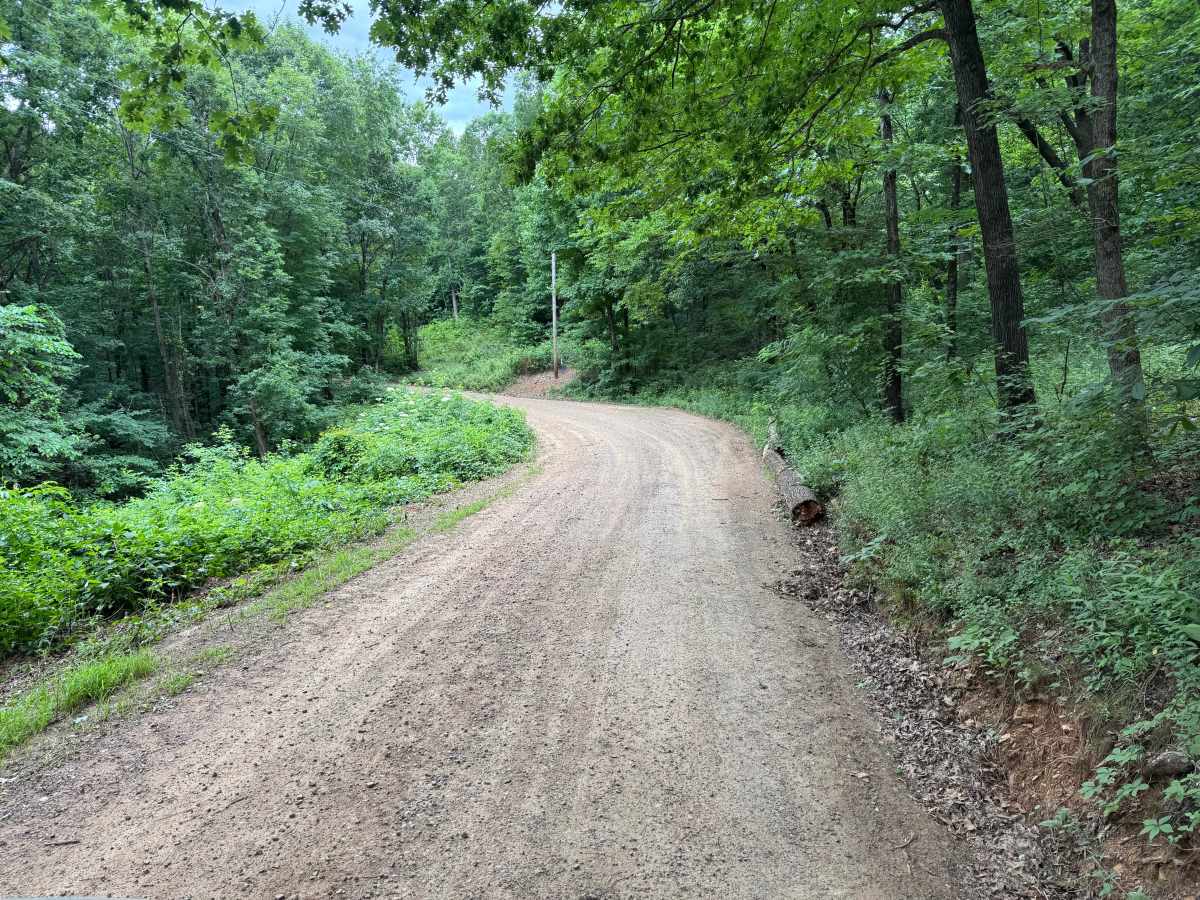
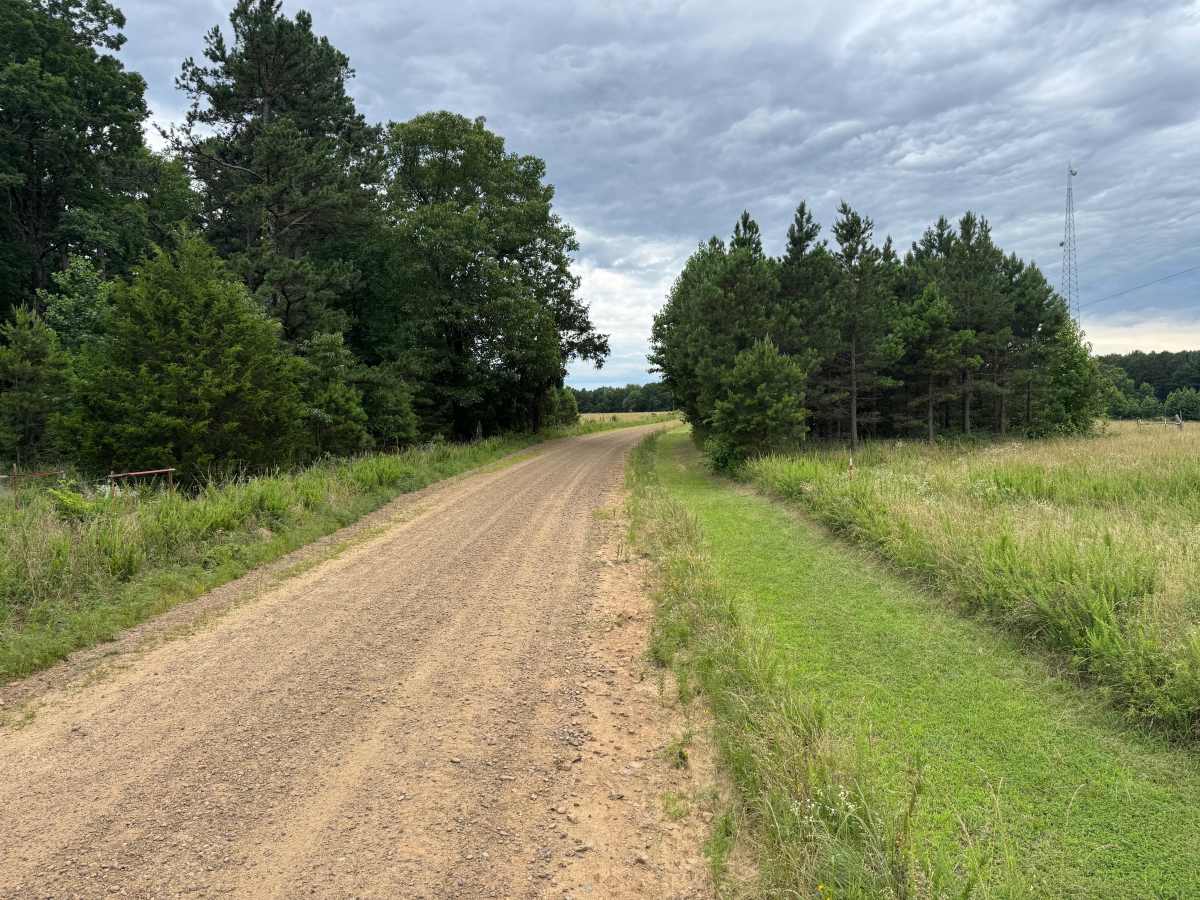
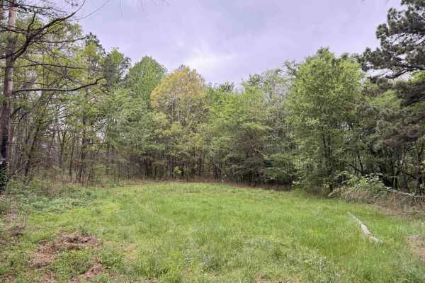
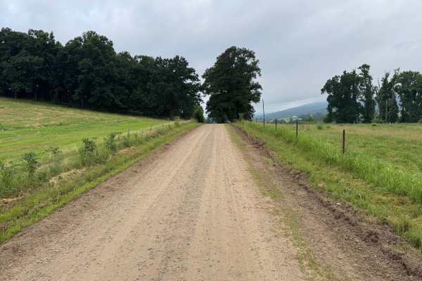
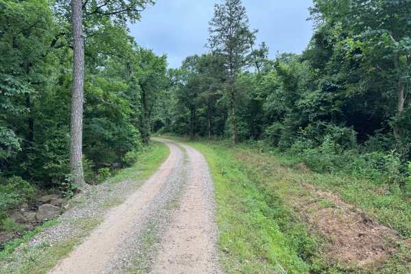
This out-and-back route provides a relaxing drive through a landscape that differs from much of the surrounding Boston Mountains. The trail begins beneath a dense canopy of hardwoods before passing a shallow creek crossing and continuing along a well-maintained gravel road that winds through peaceful forest. As the route progresses, the scenery opens into rolling farmland, grassy meadows, and scattered stands of pine, offering long views across the countryside that contrast with the enclosed forest sections. During the growing season, patches of colorful wildflowers line portions of the roadside, adding to the scenic drive. The route ultimately leads to the historic Pane Cemetery, making it an enjoyable destination for visitors interested in local history. The road is generally one vehicle wide, but there are several pull-off areas where oncoming traffic can safely pass.
Difficulty
The only feature requiring additional attention is the shallow creek crossing near the beginning of the route, which should be evaluated after heavy rainfall when water levels may rise. Loose gravel, minor drainage dips, occasional washboarding, and wildlife are the primary considerations.
History
The Ozark National Forest was established in 1908 and today forms part of the Ozark-St. Francis National Forests, protecting more than one million acres across northern Arkansas. Many of the Forest Service roads traveled today began as logging, fire access, or resource management roads before becoming part of the modern recreation network. Forest management continues to play an important role in maintaining healthy ecosystems through timber management, prescribed fire, wildlife habitat restoration, and watershed protection. The rugged Boston Mountains and surrounding Ozark Highlands remain one of the oldest and most geologically significant mountain regions in North America, offering visitors a unique combination of natural beauty and rich forest history.