Trail Overview
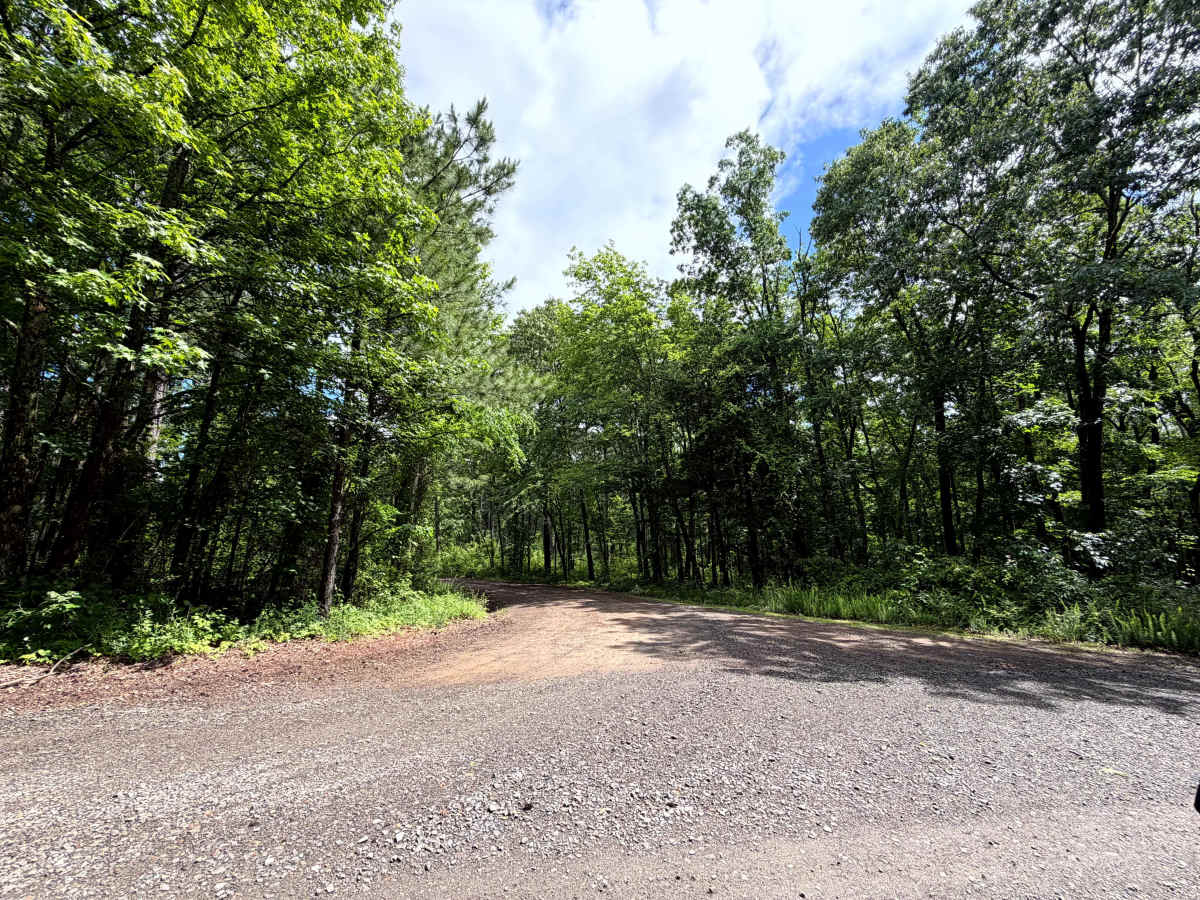
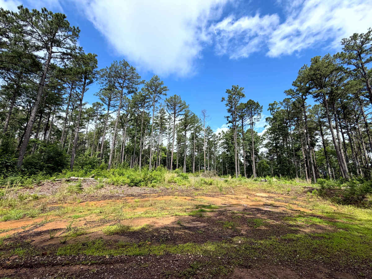
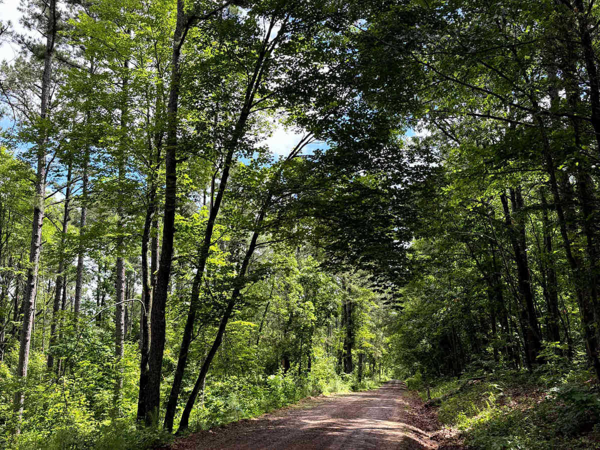
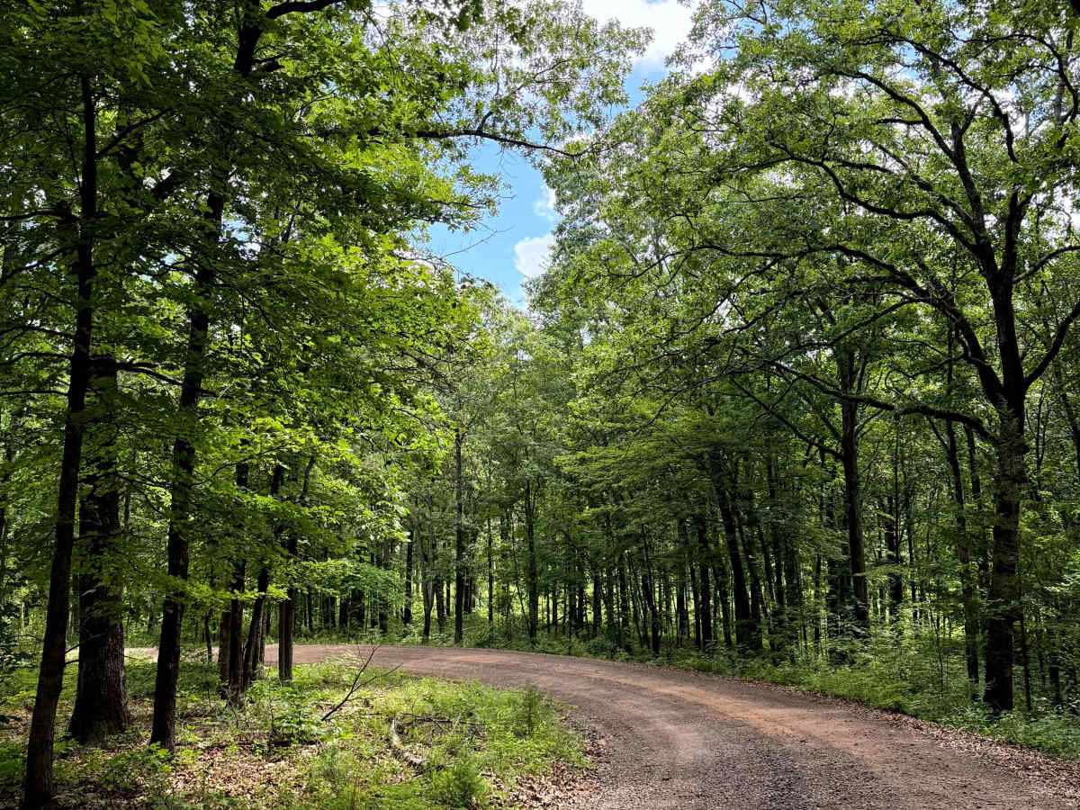
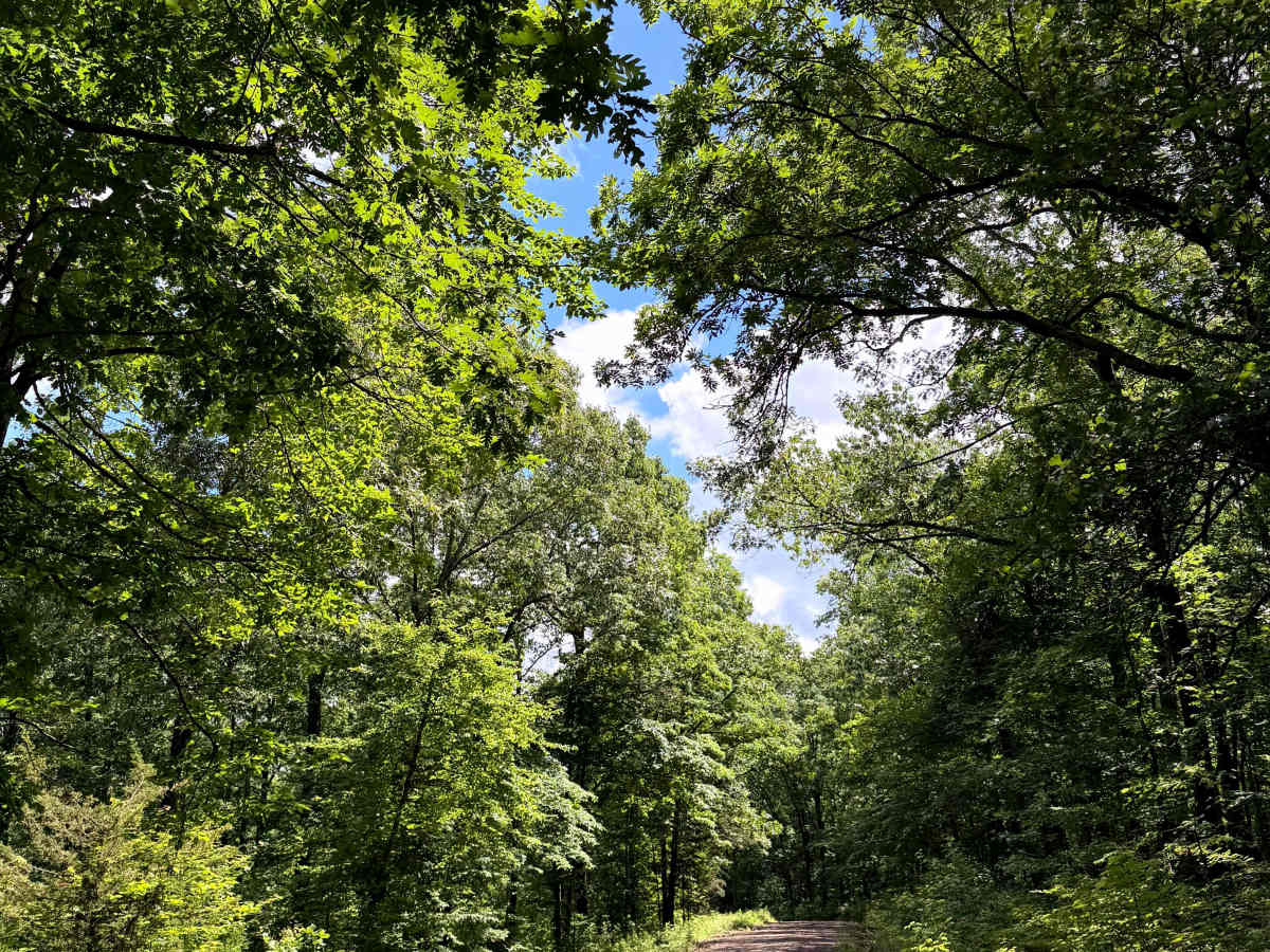
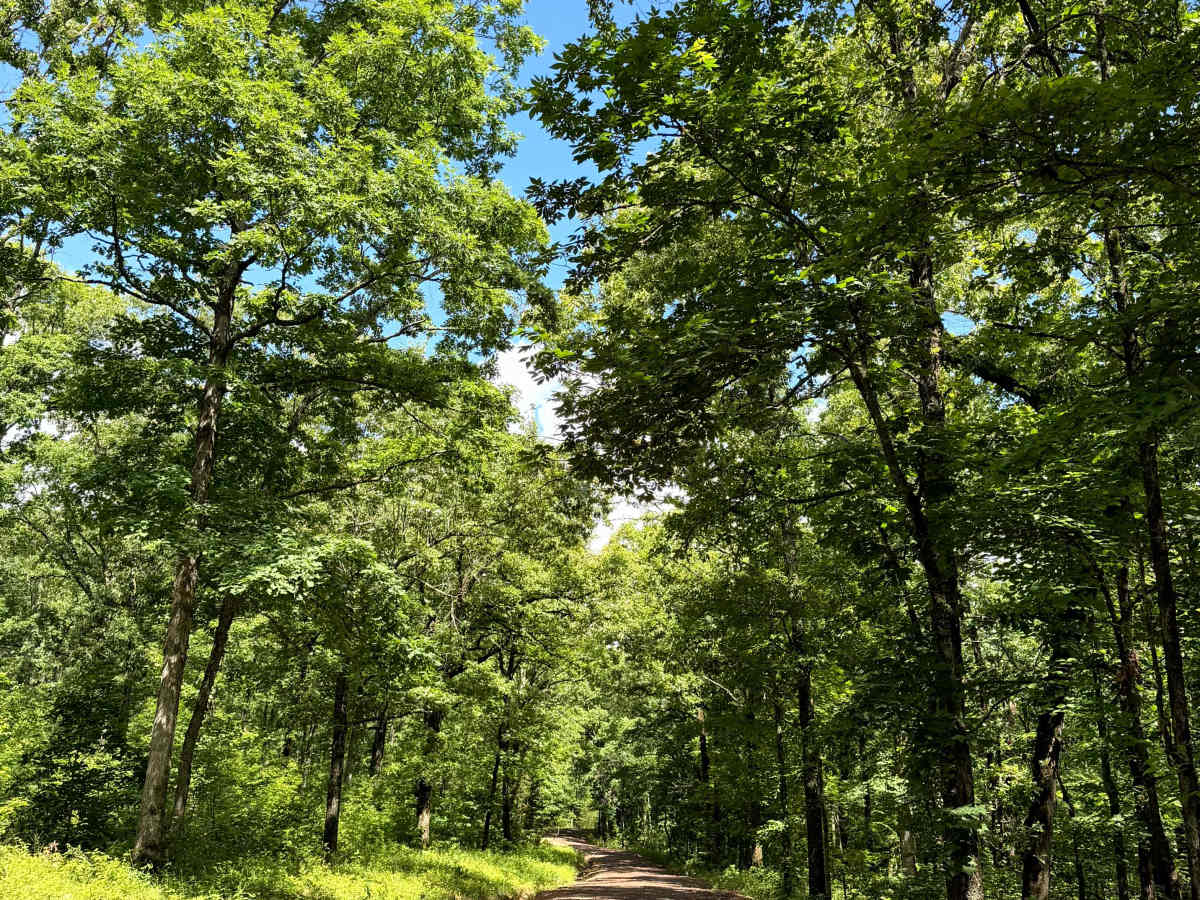
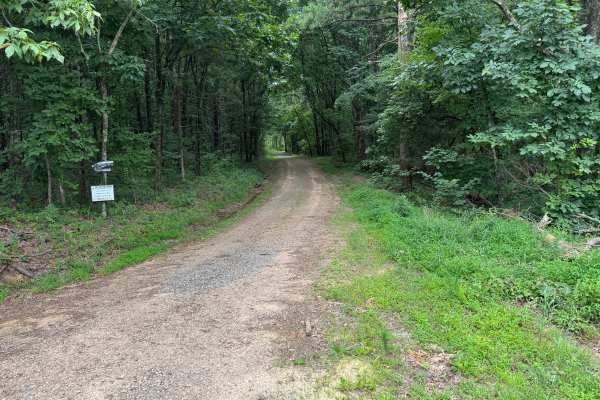
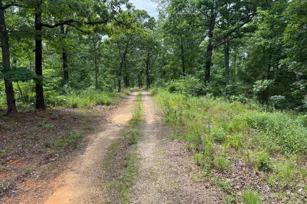
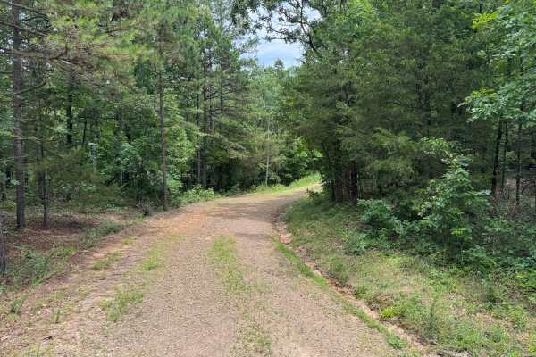
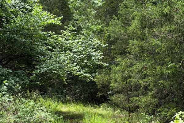
This out-and-back route starts on a narrow gravel road that gradually transitions into a dirt base as it winds through a dense forest of towering pines and mature hardwoods. The thick canopy overhead provides shade for much of the drive, while the changing road surface and peaceful woodland scenery create a more remote backcountry experience. The route is primarily one vehicle wide, with only a few locations suitable for passing another vehicle. The scenery transitions from dense forest to a small sandy clearing near the end of the route, where wildflowers and scattered cedar trees provide a change in landscape. The trail ends at a locked gate, but a spacious turnaround area just before the gate makes it easy to reverse direction. Be alert for wildlife, especially deer, and the possibility of downed trees or fallen branches following storms, as maintenance may not be immediate.
Difficulty
Drivers should watch for shallow erosion dips, small ruts along the road edges, and narrow single-lane sections where meeting oncoming traffic may require pulling over. After storms, downed trees or fallen branches may block portions of the route, so be prepared for changing conditions. Wildlife is common throughout the surrounding forest, particularly deer and smaller animals.
History
The Ozark National Forest was established in 1908 and today forms part of the Ozark-St. Francis National Forests, protecting more than one million acres across northern Arkansas. Many of the Forest Service roads traveled today began as logging, fire access, or resource management roads before becoming part of the modern recreation network. Forest management continues to play an important role in maintaining healthy ecosystems through timber management, prescribed fire, wildlife habitat restoration, and watershed protection. The rugged Boston Mountains and surrounding Ozark Highlands remain one of the oldest and most geologically significant mountain regions in North America, offering visitors a unique combination of natural beauty and rich forest history.

 Offroad