
Beginner Off-Road Trails
Near Alger, Washington
Explore All Beginner Trails Near Alger, Washington
Beginner Off-Road Trails Near Alger, Washington
Discover the best beginner-friendly off-road trails near you. These easier, lower-rated trails are a great place to start — browse trail maps, check difficulty ratings, and find your next adventure.
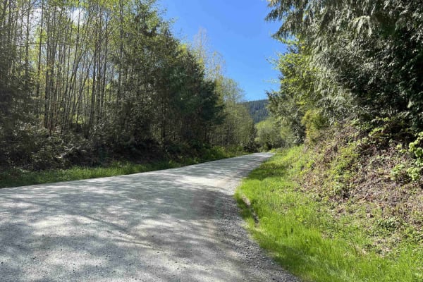
Blanchard Mountain
Blanchard Mountain is a 3.8-mile out-and-back trail ending at Salish Overlook. The road surface is well-maintained and passable by any vehicle. Some potholes and washboarding will slow down cars and trucks. This is a popular trail with lots of blind corners and small hillcrests, so make sure to stay...
Learn more about Blanchard Mountain
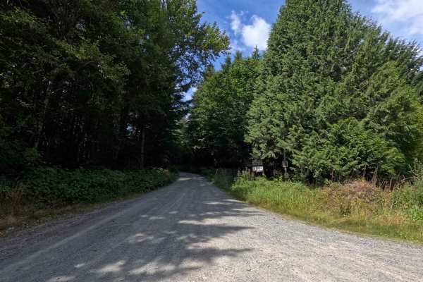
Van Zandt Mainline
Van Zandt Mainline is a 6.5-mile out-and-back route open to street-legal vehicles. This single-lane gravel road travels through Washington DNR land, and a Discover Pass is required to recreate in the area. The route is generally easy to navigate, with only sparse potholes along the way. Several esta...
Learn more about Van Zandt Mainline
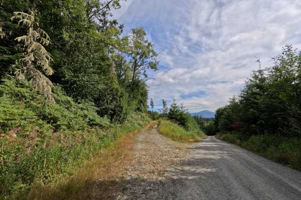
Van Zandt - 21
Van Zandt - 21 is a 1.2-mile point-to-point route open to street-legal vehicles. This single-lane gravel road travels through Washington DNR land, and a Discover Pass is required to recreate in the area. The route is heavily overgrown for much of its length, creating a very narrow driving corridor w...
Learn more about Van Zandt - 21
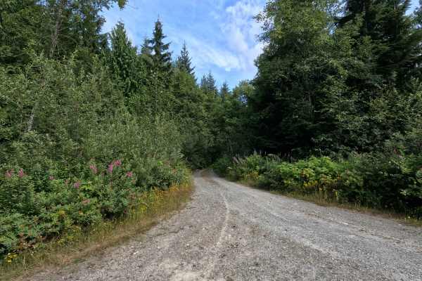
Van Zandt - 34
Van Zandt - 34 is a 1.4-mile out-and-back route open to street-legal vehicles. This single-lane gravel road travels through Washington DNR land, and a Discover Pass is required to recreate in the area. The road surface remains in good condition with only a few potholes, but dense vegetation quickly ...
Learn more about Van Zandt - 34
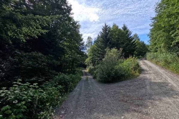
Van Zandt - 41
Van Zandt - 41 is a 1.4-mile out-and-back route open to street-legal vehicles. This single-lane gravel road travels through Washington DNR land, and a Discover Pass is required to recreate in the area. Several established dispersed campsites can be found along the route, while the final few hundred ...
Learn more about Van Zandt - 41

Middle Fork Nooksack - FS 38
Middle Fork Nooksack is a 12.6-mile out-and-back gravel road located east of Deming and ending at Ridley Creek Trailhead. The road surface gets procedurally rougher, starting as a wide gravel road with some potholes and ending as a tight trail with some ruts and large deep potholes. The first 4.8 mi...
Learn more about Middle Fork Nooksack - FS 38
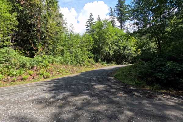
MF-2513
MF-2513 is a 1.6-mile out-and-back route open to street-legal vehicles. This winding, single-lane gravel road travels through Washington DNR land, and a Discover Pass is required to recreate in the area. The route features a few small ruts and occasional loose gravel, with vegetation becoming progre...
Learn more about MF-2513
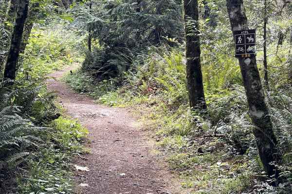
230
Trail 230 is one of several short motorcycle trails in the Whistle Lake Area. It's a wide dirt path with a few embedded rock surfaces, embedded boulders, and big roots, but it is overall a very easy trail. It goes between tall skinny red alder trees, sword ferns, and thick cedar trees in a really sc...
Learn more about 230
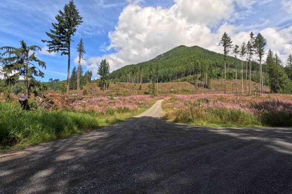
Clearwater Creek Mainline
Clearwater Mainline is a 5.2-mile out-and-back route open to street-legal vehicles. This single-lane gravel road travels through Washington DNR land, and a Discover Pass is required to recreate in the area. The route is generally easy, with occasional potholes and numerous spur roads that provide op...
Learn more about Clearwater Creek Mainline
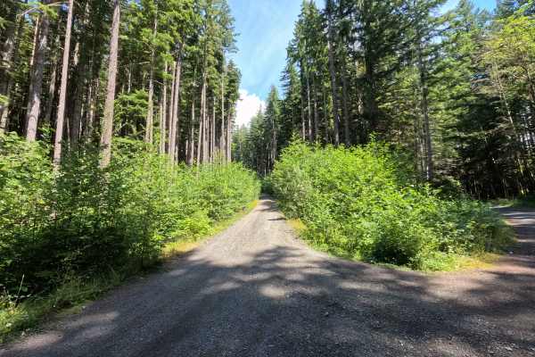
North Side Stewart Peak
North Side Stewart Peak is a 2.2-mile out-and-back route open to street-legal vehicles. This single-lane gravel road climbs steadily through a series of switchbacks on Washington DNR land, and a Discover Pass is required to recreate in the area. The route features occasional loose gravel, increasing...
Learn more about North Side Stewart Peak
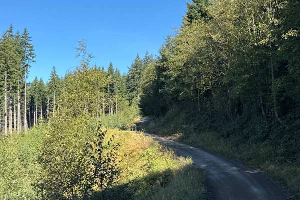
Walker Valley Mainline
Walker Valley Mainline is primarily a graded gravel and dirt road with a few sections of ungraded gravel. It is an easy ride in the summer months; however, there is no winter maintenance. During times of rain, snow, and ice, the road can become rutted and harder to travel on. Walker Valley Mainline ...
Learn more about Walker Valley Mainline
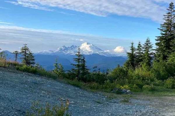
Iron Mountain Camp - FS 1775
Forest Service Road 1775 is a scenic off-road route tucked into the lush foothills of the North Cascades, offering an approachable yet rewarding drive for overland explorers and weekend adventurers. The road begins as a well-maintained gravel surface, suitable for high-clearance 2WD or AWD vehicles ...
Learn more about Iron Mountain Camp - FS 1775
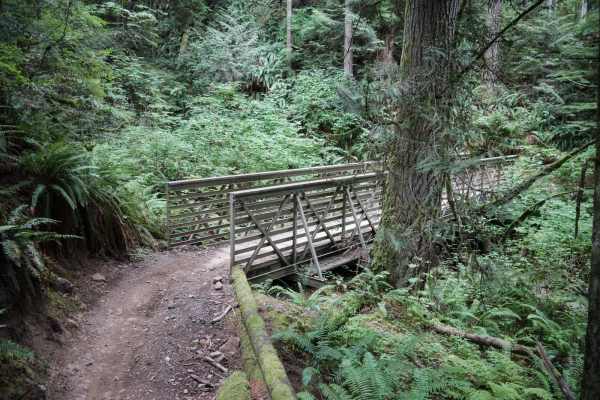
Tooler
Tooler is a 2-mile long short and fast singletrack in the Walker Valley ORV Area. It is accessed through Pats ATV Trail and is likely a more popular trail as it is close to the staging area. It's not super narrow, being a decent width that is accommodating to newer riders. It goes through tall fir t...
Learn more about Tooler
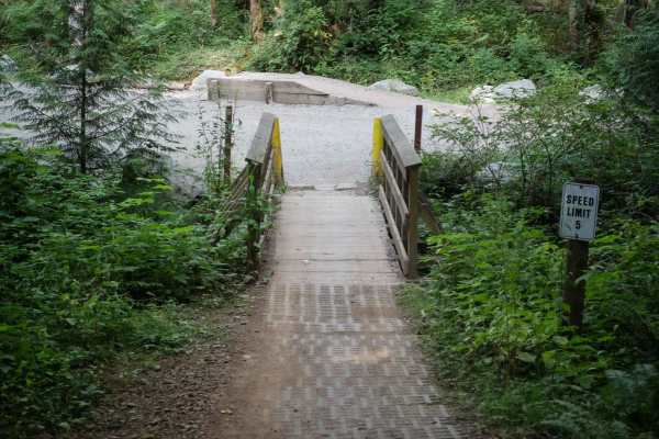
Jam
Jam is the first ATV trail that most riders will take out of the Walker Valley Staging Area. It exits the parking area on a wooden bridge to start the trail and goes one mile south to intersect with Muddled Meanderings. This trail is very wide and easy and could be a good practice trail for kids or ...
Learn more about Jam
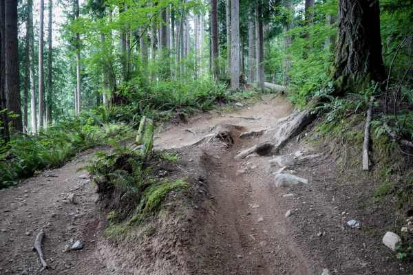
Muddled Meanderings
This is a 1.4 mile long very curvy ATV trail. The south end starts at a patch of blackberries before going across a wooden bridge. It's a wide trail that tightly winds through thick cedar trees, with small rocks and roots in the trail. The trail is lined with ferns in a dense jungle, with one sectio...
Learn more about Muddled Meanderings
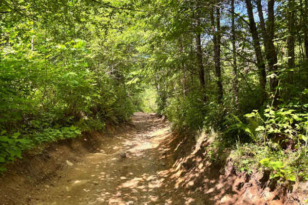
EZ Valley Connector
This is a curvy, eroded trail that is fairly easy to navigate. The trail is very muddy during the wetter times of the year and dusty during the dry months. There are a few rock obstacles, but the trail is full of rocky areas that can make it more difficult for smaller 4x4s and lower clearance vehicl...
Learn more about EZ Valley Connector
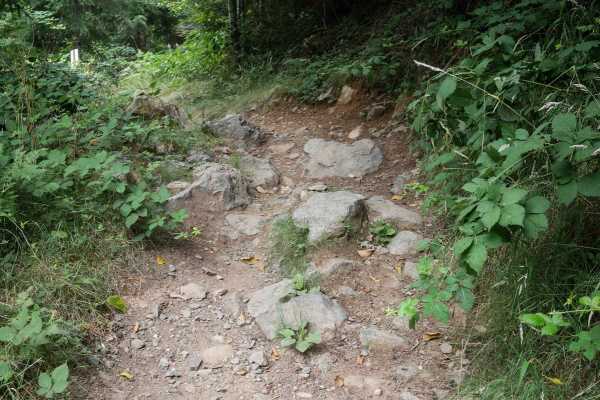
Coyote
Coyote is about a 1 mile-long 48" ATV Trail in the Walker Valley ORV Area. The north end starts at the south end of the Tooler Single Track. It starts underneath tall and skinny pine trees on a wide path, with small roots and wooden bridges and lots of whoops. There are a couple larger roots and mud...
Learn more about Coyote
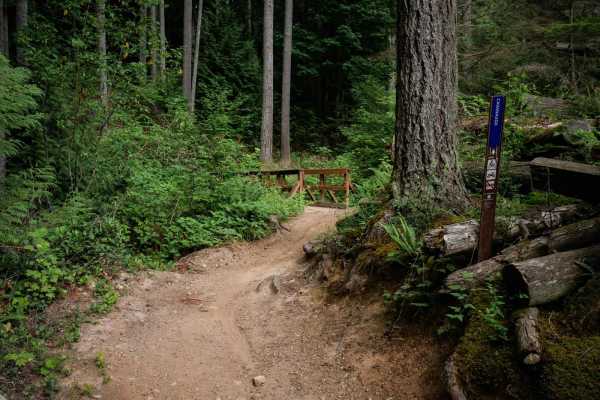
Cavanaugh
Cavanaugh is a 1.3-mile long ATV trail that has some fun features like harder rocky sections, and big mud puddles. It climbs up from the end of the Webfoot single track, up to a wooden bridge over a creek crossing. Throughout the trail there are several more wooden bridges, and many sections that ha...
Learn more about Cavanaugh
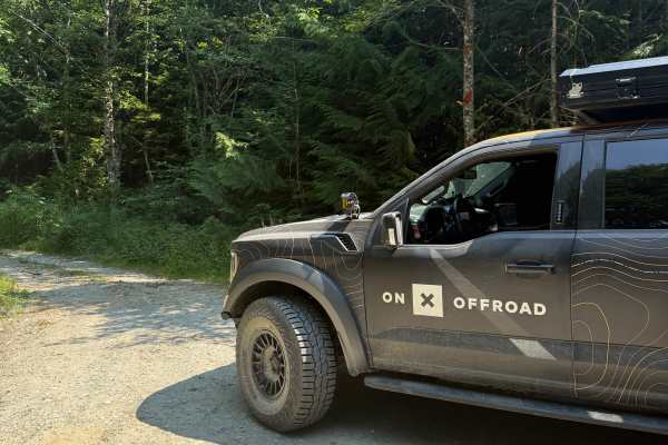
Iron Ore
Splitting off from the Finney Cumberland mainline, the Iron Ore Trail climbs through a dense patch of trees. The road itself is in fairly good shape, but the trail is heavily overgrown. The road splits, and both show signs of closure, with overgrown and downed trees and limited spots to turn around....
Learn more about Iron Ore
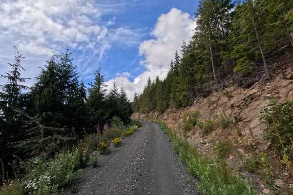
Clearwater - 38
Clearwater - 38 is a 1.4-mile out-and-back route open to street-legal vehicles. This single-lane gravel road climbs steadily through a series of steep switchbacks on Washington DNR land, and a Discover Pass is required to recreate in the area. The route features several narrow, exposed sections with...
Learn more about Clearwater - 38
Beginner ATV trails near Alger, Washington
Explore ATV-friendly trails near you. These trails are accessible for vehicles up to 50 inches wide, perfect for ATVs and smaller off-road machines.
Middle Fork Nooksack - FS 38
Middle Fork Nooksack is a 12.6-mile out-and-back gravel road located east of Deming and ending at Ridley Creek Trailhead. The road surface gets procedurally rougher, starting as a wide gravel road with some potholes and ending as a tight trail with some ruts and large deep potholes. The first 4.8 mi...
Learn more about Middle Fork Nooksack - FS 38
Walker Valley Mainline
Walker Valley Mainline is primarily a graded gravel and dirt road with a few sections of ungraded gravel. It is an easy ride in the summer months; however, there is no winter maintenance. During times of rain, snow, and ice, the road can become rutted and harder to travel on. Walker Valley Mainline ...
Learn more about Walker Valley Mainline
Iron Mountain Camp - FS 1775
Forest Service Road 1775 is a scenic off-road route tucked into the lush foothills of the North Cascades, offering an approachable yet rewarding drive for overland explorers and weekend adventurers. The road begins as a well-maintained gravel surface, suitable for high-clearance 2WD or AWD vehicles ...
Learn more about Iron Mountain Camp - FS 1775
Jam
Jam is the first ATV trail that most riders will take out of the Walker Valley Staging Area. It exits the parking area on a wooden bridge to start the trail and goes one mile south to intersect with Muddled Meanderings. This trail is very wide and easy and could be a good practice trail for kids or ...
Learn more about Jam
Beginner UTV/side-by-side trails near Alger, Washington
Find UTV and side-by-side trails near you. These trails accommodate vehicles up to 60 inches wide, ideal for UTVs, side-by-sides, and wider off-road rigs.
Middle Fork Nooksack - FS 38
Middle Fork Nooksack is a 12.6-mile out-and-back gravel road located east of Deming and ending at Ridley Creek Trailhead. The road surface gets procedurally rougher, starting as a wide gravel road with some potholes and ending as a tight trail with some ruts and large deep potholes. The first 4.8 mi...
Learn more about Middle Fork Nooksack - FS 38
Walker Valley Mainline
Walker Valley Mainline is primarily a graded gravel and dirt road with a few sections of ungraded gravel. It is an easy ride in the summer months; however, there is no winter maintenance. During times of rain, snow, and ice, the road can become rutted and harder to travel on. Walker Valley Mainline ...
Learn more about Walker Valley Mainline
Iron Mountain Camp - FS 1775
Forest Service Road 1775 is a scenic off-road route tucked into the lush foothills of the North Cascades, offering an approachable yet rewarding drive for overland explorers and weekend adventurers. The road begins as a well-maintained gravel surface, suitable for high-clearance 2WD or AWD vehicles ...
Learn more about Iron Mountain Camp - FS 1775
EZ Valley Connector
This is a curvy, eroded trail that is fairly easy to navigate. The trail is very muddy during the wetter times of the year and dusty during the dry months. There are a few rock obstacles, but the trail is full of rocky areas that can make it more difficult for smaller 4x4s and lower clearance vehicl...
Learn more about EZ Valley Connector
The onX Offroad Difference
onX Offroad combines trail photos, descriptions, difficulty ratings, width restrictions, seasonality, and more in a user-friendly interface. Available on all devices, with offline access and full compatibility with CarPlay and Android Auto. Discover what you're missing today!
Open Trail Map