Restoring Colorado’s Fourteeners One Trail Day at a Time
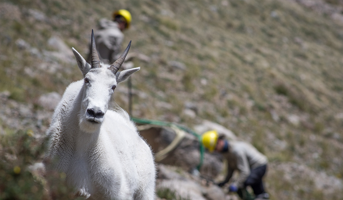
Across Colorado’s 54 iconic 14,000 foot peaks, it’s estimated that 415,000 people hiked on one of them in 2020. That landscape is one of the most resilient in the world, but human impact? That’s something that we need to get hands on with.
onX Maps Grant Project
We’ve got a few ambitious goals around here. Delivering you an unbelievable map experience is first, but in a close second is stewarding and making public lands more accessible. One way in which we do this is through our Access and Stewardship grants. Nonprofit organizations, trail groups, tribal organizations, state agencies, and others can all apply for funding from $7,500 to $15,000.
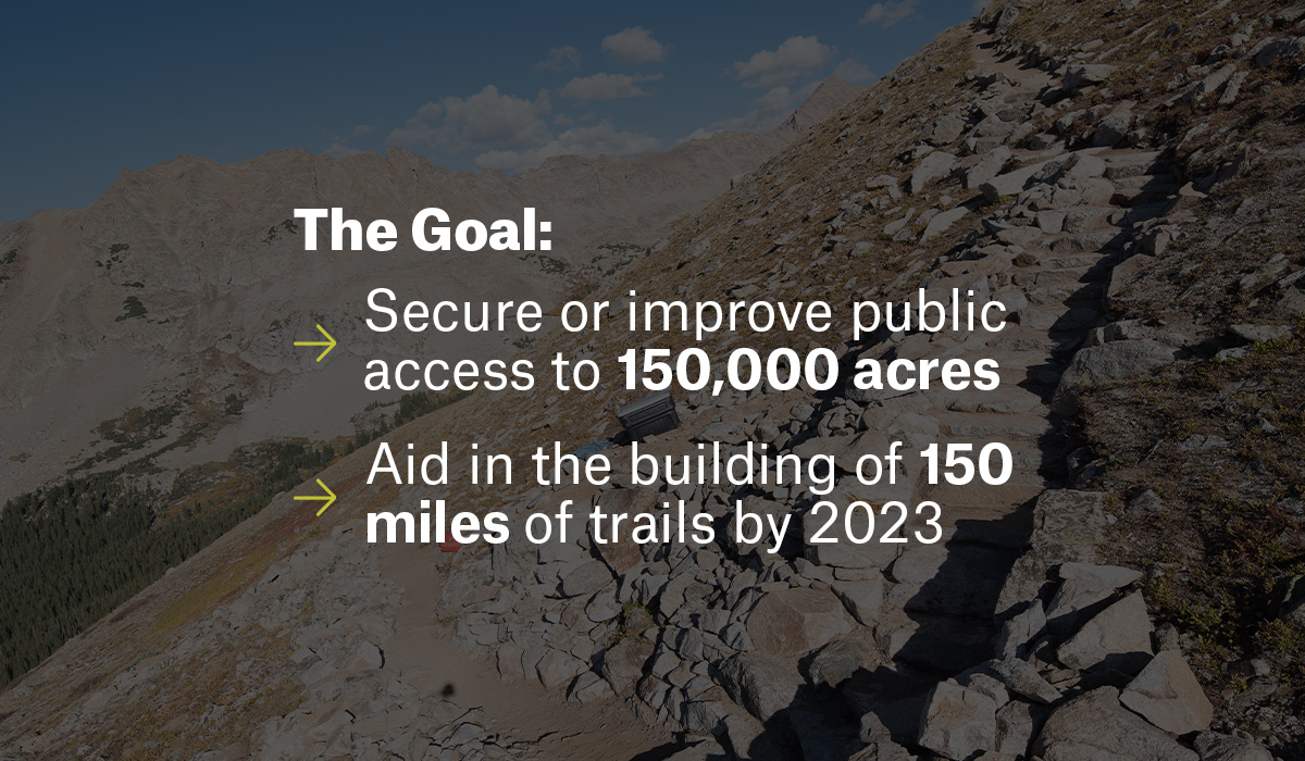
The goal for us is to help secure or improve public access to 150,000 acres and aid in the building of 150 miles of trails by 2023. Organizations based in the United States are welcome to apply.
Colorado Fourteeners Initiative
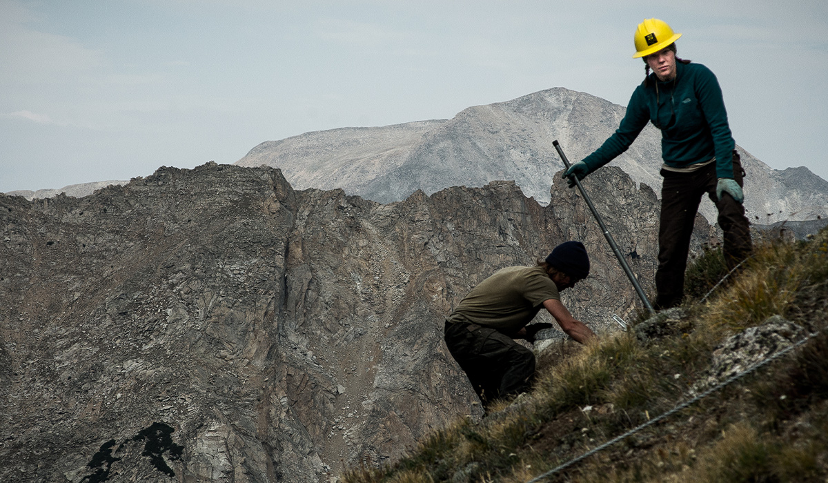
One of the grantees this year was the Colorado Fourteeners Initiative (CFI). This organization prides itself on taking care of the rugged high alpine environments on Colorado’s 54 14,000-foot peaks. This tundra-like landscape is resilient to the impacts of the severe weather found at that altitude, but humans provide a unique challenge. CFI’s work is broken down into four categories:
- Create a structure for engaging local communities in the protection of Colorado’s highest peaks.
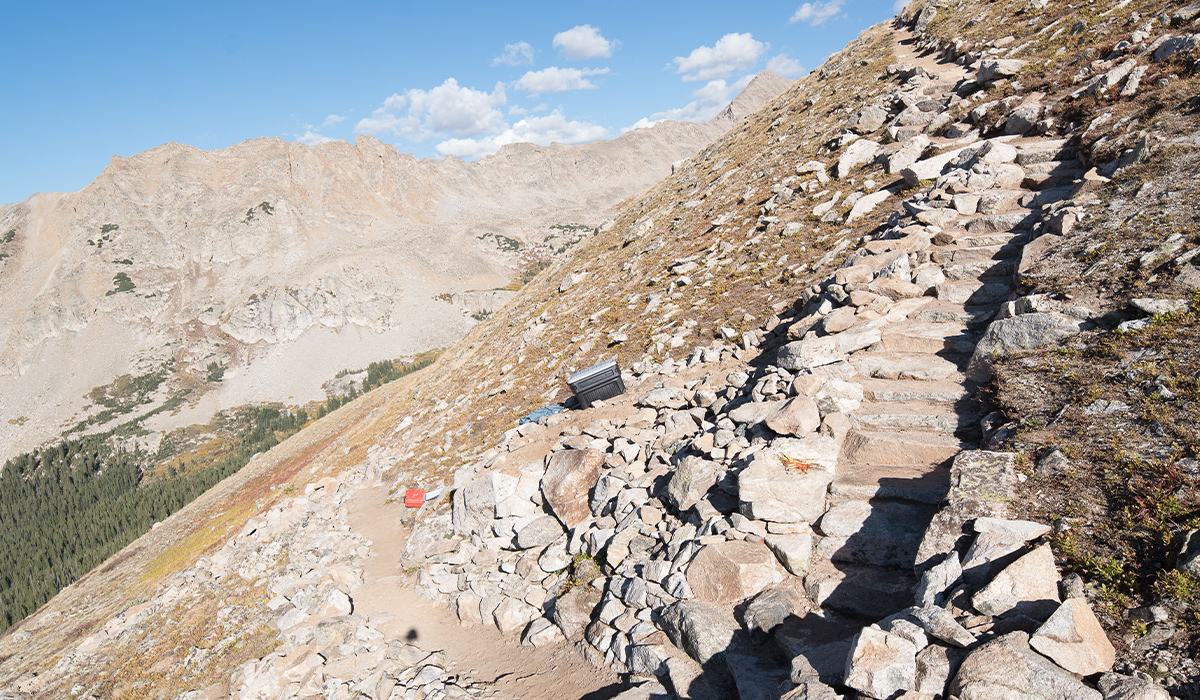
- Build and maintain sustainable hiking routes on Colorado’s 14ers to accommodate hiking use while minimizing damage to native alpine ecosystems.
- Close, stabilize, and restore trampled and eroded areas to protect sensitive alpine plant and animal communities.
- Educate fourteener hikers about Leave No Trace principles and sustainable recreational practices designed to lessen ecosystem impacts.
Brian Sargeant is the development and communications manager at CFI and states, “So many outdoor industry brands use public lands in marketing campaigns, yet so few of these companies financially support the stewardship and preservation of these same destinations. CFI refers to corporate partners like onX as the ‘triple threat.’ They provide cash grants to pay for our work, allow employees time off to volunteer on stewardship projects, and offer up their services/platforms to help raise awareness for our mission. These partners are few and far between.”
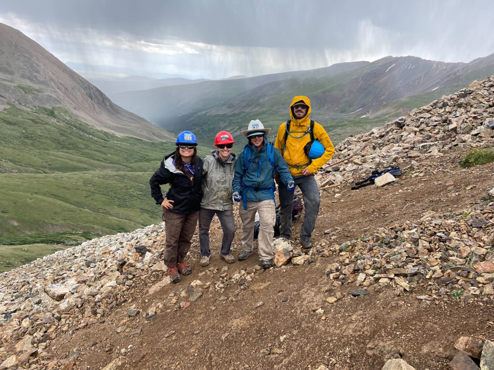
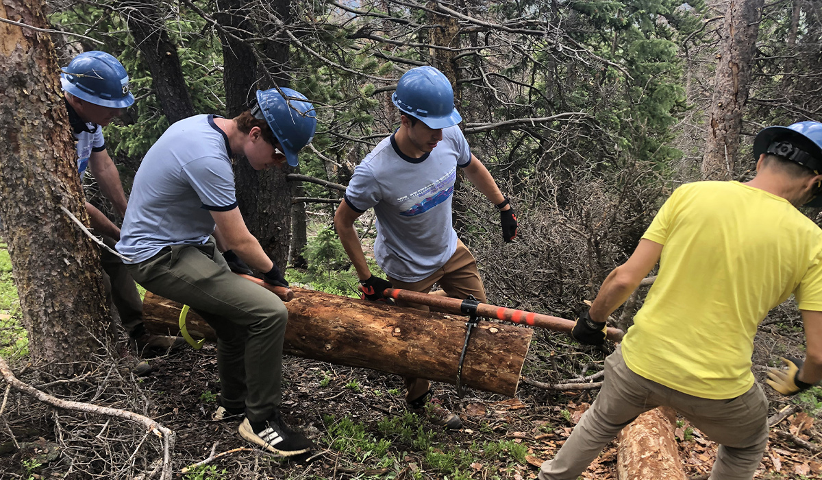
As a result of those allotted volunteer hours, four onX staffers were able to get hands-on with restoration during a trail work day with the Colorado Fourteeners Initiative on Mount Democrat.
“I have a new appreciation for steps and walls I had previously taken for granted on a trail.”
–Bergen Davell, Product Manager – Map Experience
Adopt a Peak
The program we’re supporting involves trail work across 14 mountains, 1,100 volunteer days, and 21 miles of trail maintenance. Work in these areas will curb social trails, install water bars, and shape the trail landscape to encourage one path on the mountain. This keeps human traffic out of the way of sensitive flora. Without this work, management agencies would be relegated to simply restricting access as a means to conserve these areas.
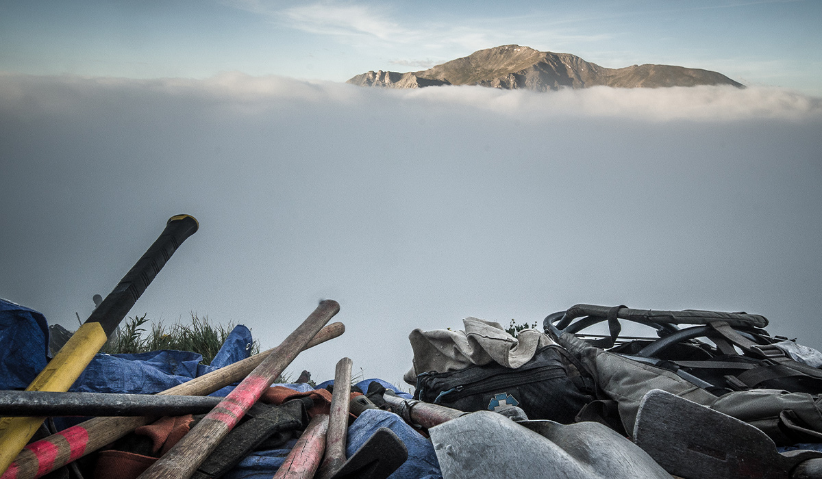
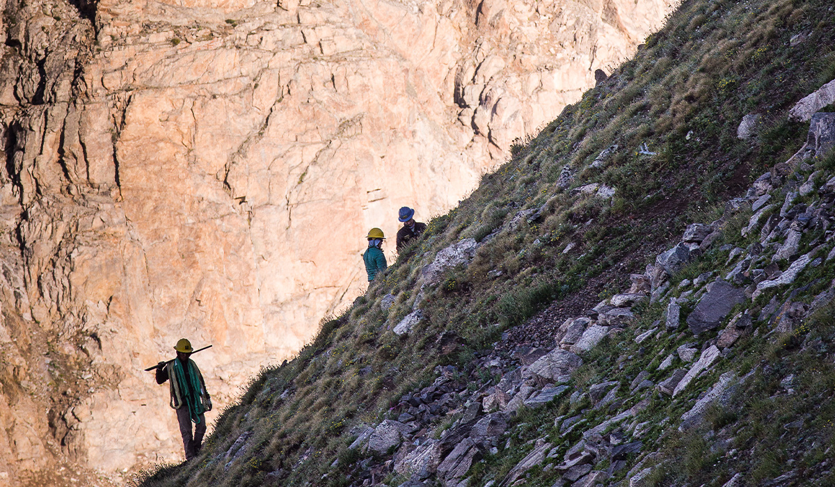
“After 28 years performing high altitude trail reconstruction projects, most of the low-hanging fruit has already been plucked. The remaining maintenance and restoration work needed on these peaks is more physically demanding, located higher on the mountain in steep terrain, and in more remote locations. Financial contributions from companies like onX are vital to guarantee that CFI can continue hiring the highly skilled crew members who perform this work, pay for travel costs to more remote trailheads, and purchase the tools and equipment needed,” says Sargeant.
This proactive approach will hopefully ensure access to these 14 peaks for years to come.
- Mount Bross
- Mount Democrat
- Mount Elbert
- Grays Peak
- Huron Peak
- Mount Holy Cross
- Mount Massive
- Pyramid Peak
- Quandary Peak
- Mount Shavano
- San Luis Peak
- Torreys Peak
- Mount Wilson
- Mount Yale
Hiking 14ers with onX Backcountry
Using onX Backcountry you can find routes up Colorado’s legendary 14ers while making sure you haven’t found a social trail accidentally. If you do, feel free to mark it with a Waypoint and submit it to CFI. These areas usually lack cell signal, so be sure to download your Offline Map before you go so you’ll always know where you are, even beyond the cell towers.