

The Roadless Rule: By the Numbers
The 2001 Roadless Area Conservation Rule covers 44.7 million acres of National Forest land and is currently being reexamined by the U.S. Forest Service. See what onX data reveals about these areas and participate in the public comment process.
The 2001 Roadless Area Conservation Rule covers 44.7 million acres of National Forest land and is currently being reexamined by the U.S. Forest Service. See what onX data reveals about these areas and participate in the public comment process.

What Is the Roadless Rule?
Most people have never heard of the Roadless Rule, but you may have visited a forest included in this regulation without knowing it. There are 58.2 million acres of National Forest land—collectively an area larger than Minnesota—designated as “inventoried roadless areas.” In 2001, the Roadless Area Conservation Rule established limits on industrial logging and mining, and the associated road-building those activities require, in intact parts of our national forests. The rule itself doesn’t prohibit hunting, fishing, motorized recreation, or other public uses—it regulates land management options in these areas.
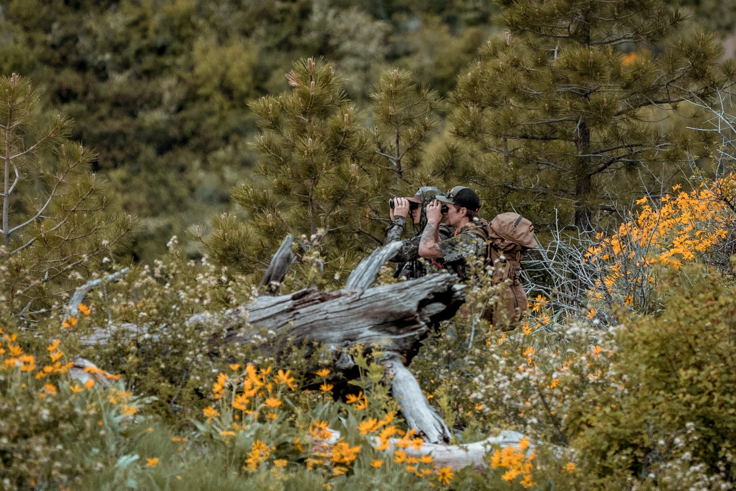
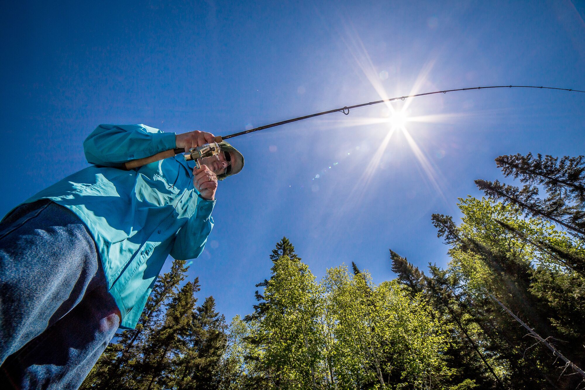
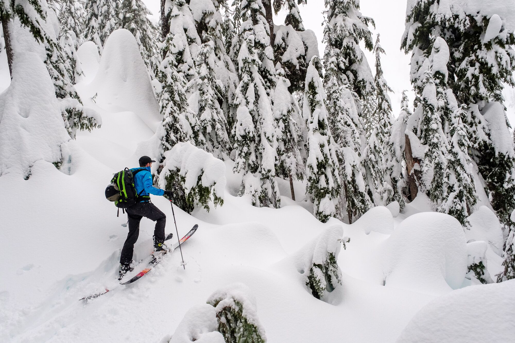
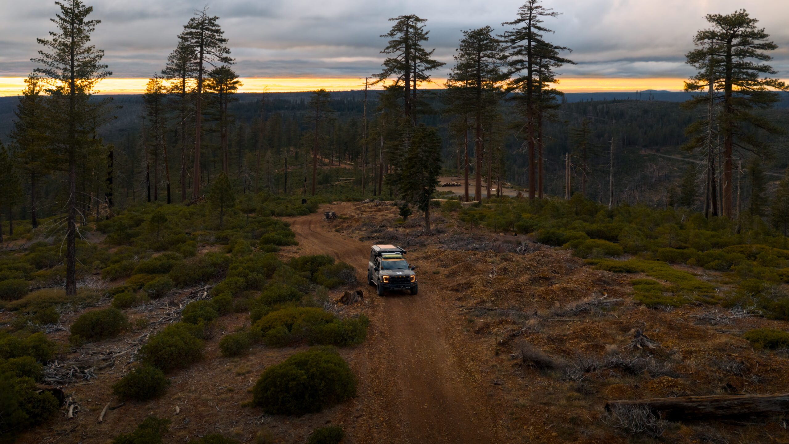
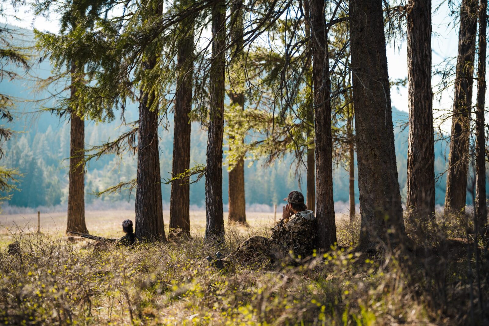
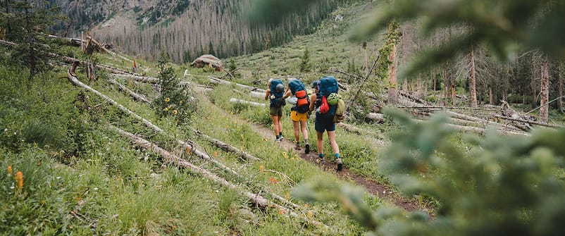
Before the rule was created, the U.S. Forest Service (USFS) identified areas with low road density and largely intact landscapes through what it called “Roadless Area Review and Evaluations” beginning in the 1970’s. Despite the fact that some of these places had existing primitive roads and backcountry “two-tracks,” the shorthand moniker, “roadless,” stuck. Unlike “capital-W” Wilderness, where anything with wheels or a motor is strictly prohibited by law, the rule allows wheeled and motorized modes of recreation on routes designated in forest management plans. These places provide unfragmented wildlife habitat and backcountry access for a range of activities, without the strict regulations that are the hallmark of Wilderness designation.
Over time, Idaho and Colorado created their own rules for inventoried roadless areas that replaced the original regulation within their borders. Those changes mean the first Roadless Rule (which we’ll call the National Roadless Rule) now protects 44.7 million acres across 37 states and Puerto Rico. The rule was established from the largest public input process in USFS history: 600 public hearings were held across the country, and 1.6 million comments were submitted. In August 2025, the U.S. Department of Agriculture, which oversees the USFS, announced plans to rescind the National Roadless Rule, thereby opening these acres to commercial logging, mining, and road building.

Comment Now on the Roadless Rule

The next step for the USFS to rescind the Roadless Rule is a Draft Environmental Impact Statement (DEIS), which they published on August 19, 2026. It describes three alternative scenarios for areas currently managed according to the Roadless Rule. At the same time, they’ve published a proposed rule to adopt Alternative 2. The public has until October 6, 2026 to review and respond to the alternatives in the DEIS and the proposed rule, all of which can be found in the official comment portal linked below. In summary, the three alternatives are:
Alternative 1 – No Action. This alternative keeps the existing 2001 Roadless Area Conservation Rule in place, continuing to prohibit road construction, reconstruction, and timber harvest across all 44.7 million acres of inventoried roadless areas, subject only to the rule’s existing narrow exceptions, like public health and safety emergencies, valid existing rights, and active mineral leases.
Alternative 2 – Full Rescission/No Rule. This alternative repeals the 2001 rule entirely, eliminating the designation on 44.7 million acres, but leaving Idaho’s and Colorado’s separate state-specific roadless rules intact. Management of these lands would revert to management decisions according to each Forest jurisdiction. This is the agency’s preferred alternative, and reflects the new proposed rule.
Alternative 3 – Modified Roadless Rule. This alternative redraws the inventoried roadless areas. It removes the designation from 31.7 million acres, including areas within a half-mile of a road, areas in the wildland-urban interface as defined by a law in 2003, the 9.3 million acres of the Tongass National Forest, areas that carry other congressional designations, and about 400,000 acres that fall outside of USFS land (likely due to land sales or mapping errors). With those reductions, roughly 13 million acres of inventoried roadless areas would remain. This alternative also creates a standing process for local officials to propose further Roadless Rule boundary changes going forward.
Check out the map below to see how these alternatives compare on the ground, learn more about the Rule itself, and review our guidance on how to write comments that count. Then, go to the official comment portal to make your voice heard.

Explore the Roadless Rule Map
To give outdoor adventurers an easy way to visualize the three alternatives presented in the DEIS, we created the interactive map below.
The map shows the areas where the National Roadless Rule would either remain in place (bright purple) or be removed (cross-hatch areas) in each alternative. The areas designated by the separate, Colorado- and Idaho-specific rules are shown in dark purple.
- Use the Layers drop-down button to see the map legend.
- Click or tap a Roadless Rule area to see metrics about the recreation opportunities: motorized and non-motorized trail miles, mapped ski routes and snowmobile trails, and climbing areas.
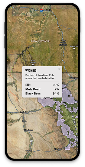
- Click or tap on a state to see how much of the Roadless Rule areas in that state overlap with elk, mule deer, and black bear habitat (Alternate 1 only).
Plus, you can use this map to help you write substantive, location-based comments. Click or tap on the map to see:
- The official name of the National Forest each area is managed by
- GPS coordinates of the exact location you’ve clicked
- Forest Service motor vehicle road and trail numbers/names
To view an interactive map with additional layers and information about the alternatives, see the USFS map here.
What the Data Reveals
Analysts at onX cross-referenced USFS boundary files with our own outdoor recreation data, wildlife habitat layers, and 50 years of fire records. Here’s what we found.

Different Management Approaches in Different Places
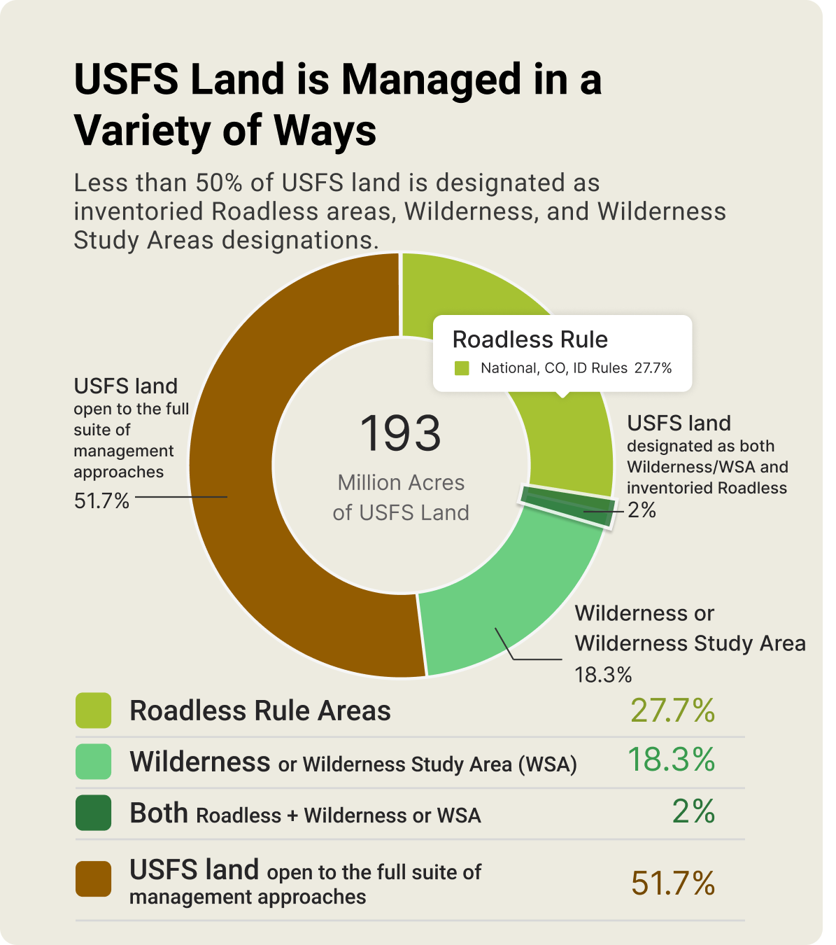
The USFS lands vary in their habitat richness and ecological sensitivity, and a mix of management strategies in different places is one way the agency can meet its mandate for multiple uses. Across all land managed by the USFS, totaling 193 million acres, the Roadless Rule areas represent just 27.7%; Wilderness and WSA cover 18.3%; and 2.3% are both. That means more than half (51.7%) of USFS lands are managed for other values and a broader range of multiple uses.

Wildfire and Roads
Wildfire is one of the most complex challenges facing public land managers today, and it figures prominently in the current debate over the Roadless Rule. The USFS’s own data estimates that 80 million acres of National Forest land need some form of treatment for forest health and fuel reduction. The USDA has cited this as part of its rationale for reexamining the rule, arguing that local managers need more flexibility to reduce wildfire risk across the 28 million roadless acres it identifies as high or very high fire-risk zones.
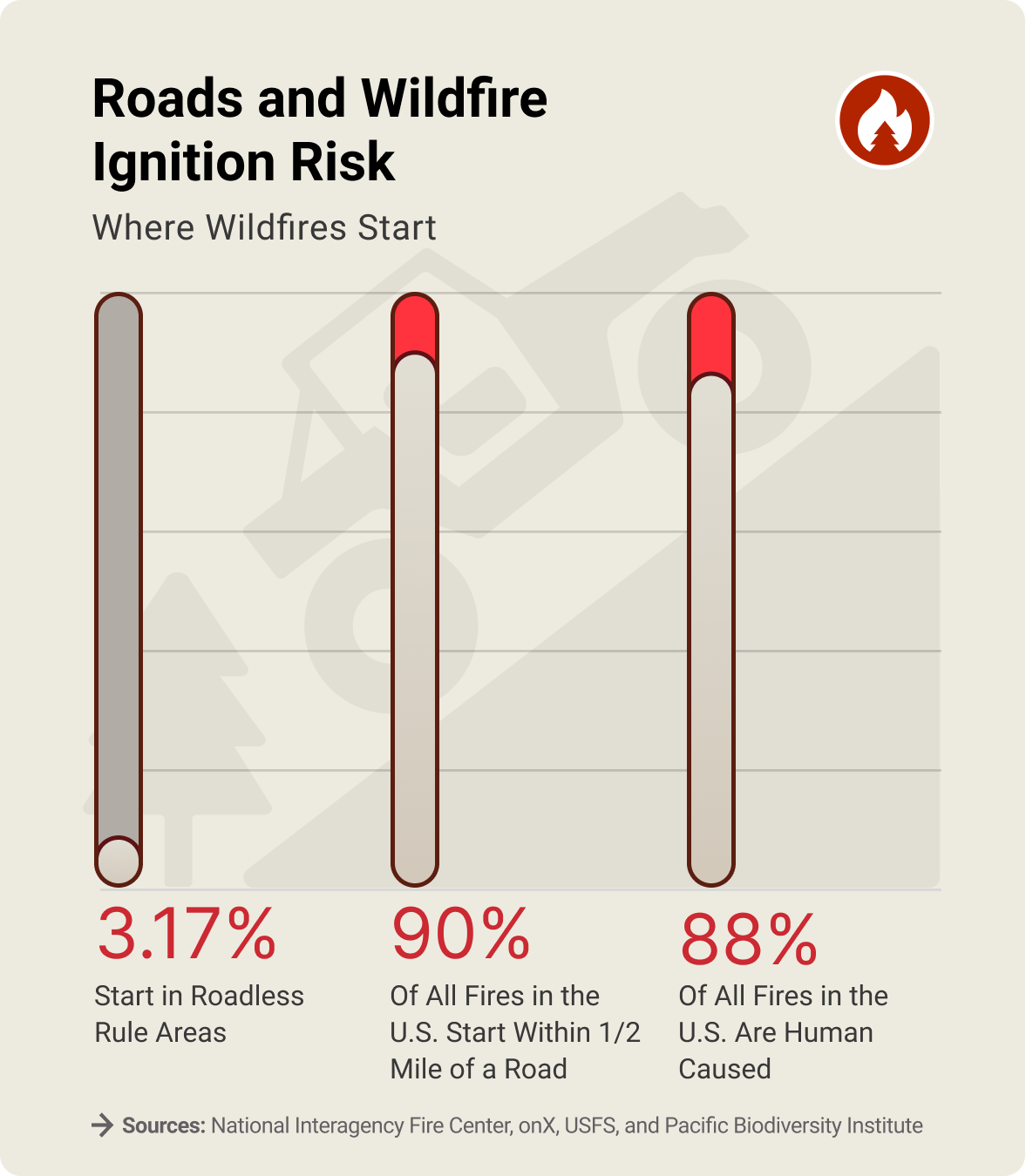
At the same time, data on where wildfires actually start and spread adds additional context. Our analysis, using data from the National Interagency Fire Center, found that only 3% of all mapped historical wildfire ignition points over the last 50 years have occurred within Roadless Rule areas. Research has found that roughly 90% of all wildfires start within a half-mile of a road, and that 88% are human-caused — with roads acting as corridors for human error, including accidental sparks, unattended campfires, and other ignition sources that can spark blazes. A separate analysis of four decades of satellite data found that inventoried roadless areas have not burned at significantly higher rates or severity than roaded national forest lands, and that in the most recent decade, roadless areas burned at a slightly lower rate than forests with roads.
The Roadless Rule also explicitly allows fire suppression actions, tree cutting to reduce wildfire risk, fuel treatments, and road construction in cases of imminent threat. These findings don’t resolve the debate, but they reflect why wildfire scientists, land managers, and policymakers continue to disagree about the best path forward.

Unfragmented Landscapes, Connected Wildlife
The National Roadless Rule describes these landscapes as “biological strongholds and refuges for many species,” offering habitat “for those species dependent on large, undisturbed areas of land.” These areas include migration corridors that connect summer and winter ranges, and landscapes where road networks have not fragmented wildlife movement—factors that researchers and land managers associate with sustained big-game populations.
Some hunters zero in on timber harvest sites, knowing that wildlife are often drawn to tender regrowth. However, a study focused on elk found the lure is short-lived. Initially, elk forage in timber cuts more often, but after five years, elk visit these areas at the same levels as before the logging took place.
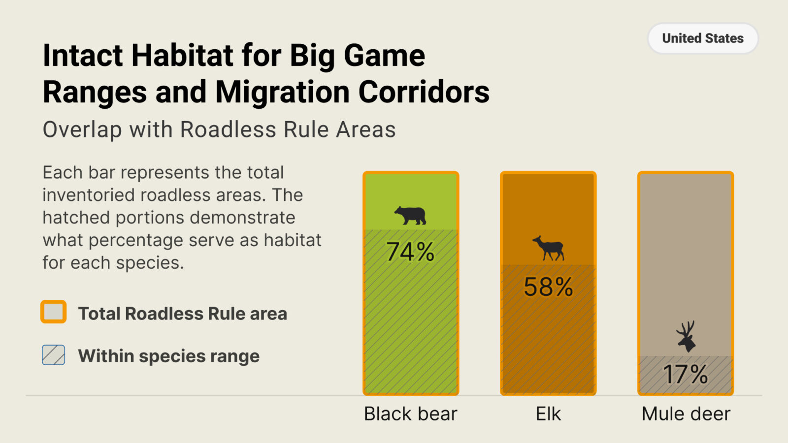
Three Indicator Species
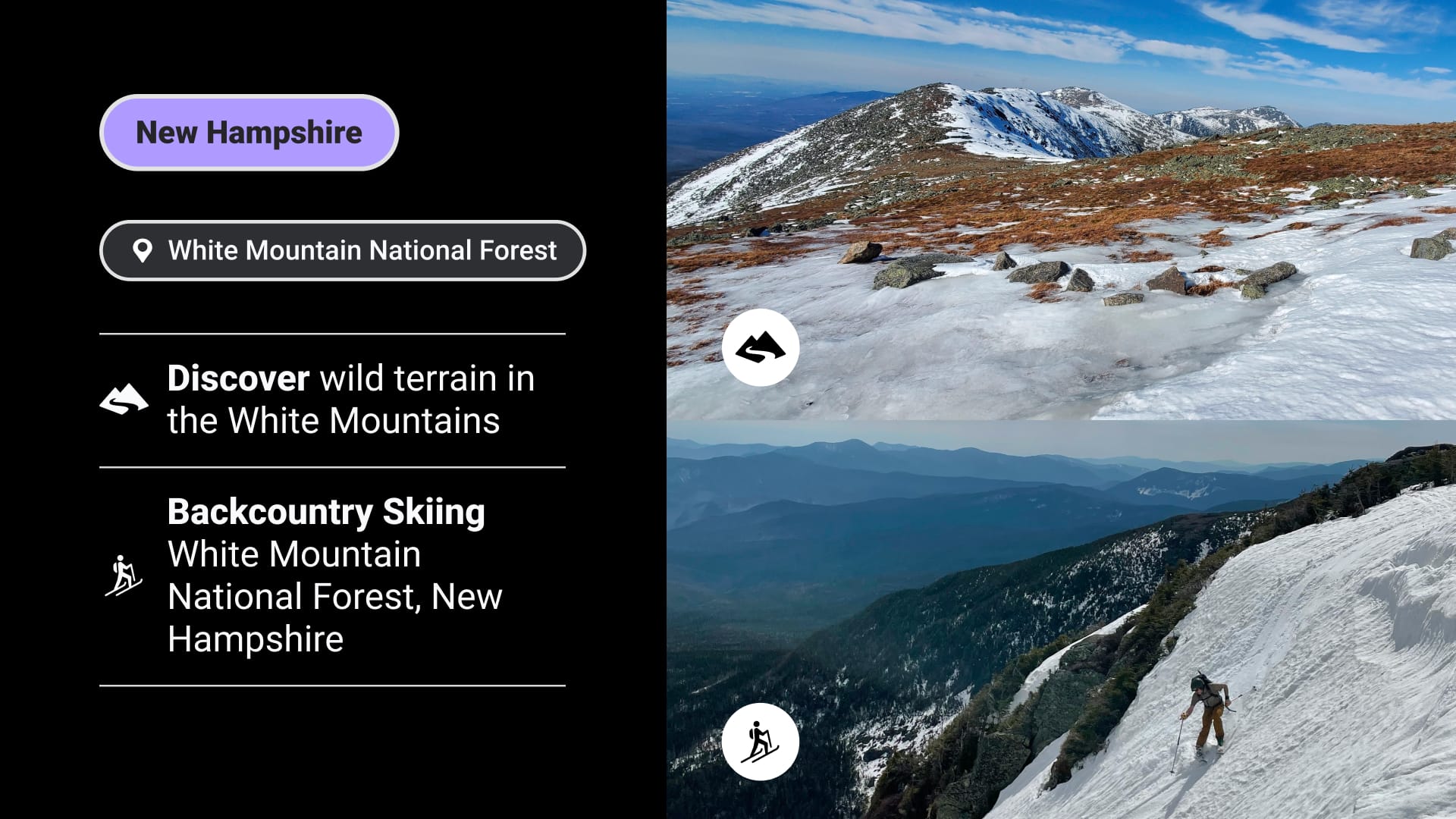
Nationwide, inventoried roadless areas overlap significantly with black bear and elk habitat and provide strategic intersections along mule deer migration routes. To explore these overlaps at the individual state level, go to the map above and ensure that “Wildlife pop-ups” are turned on in the Layers menu, then click on each state.

Motorized Access in Roadless Rule Areas
The National Roadless Rule does not prohibit motorized recreation where it was previously allowed, as it states: “This final rule will not close or otherwise block access to any of those roads; [it] merely prohibits the construction of new roads and the reconstruction of existing roads in inventoried roadless areas.”
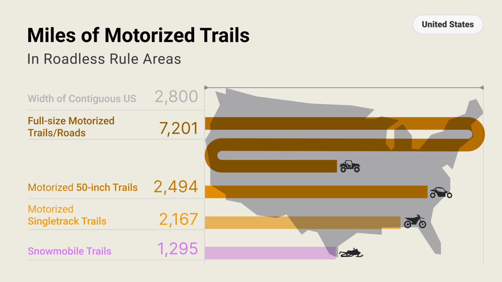
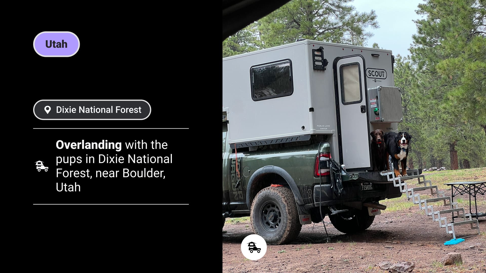
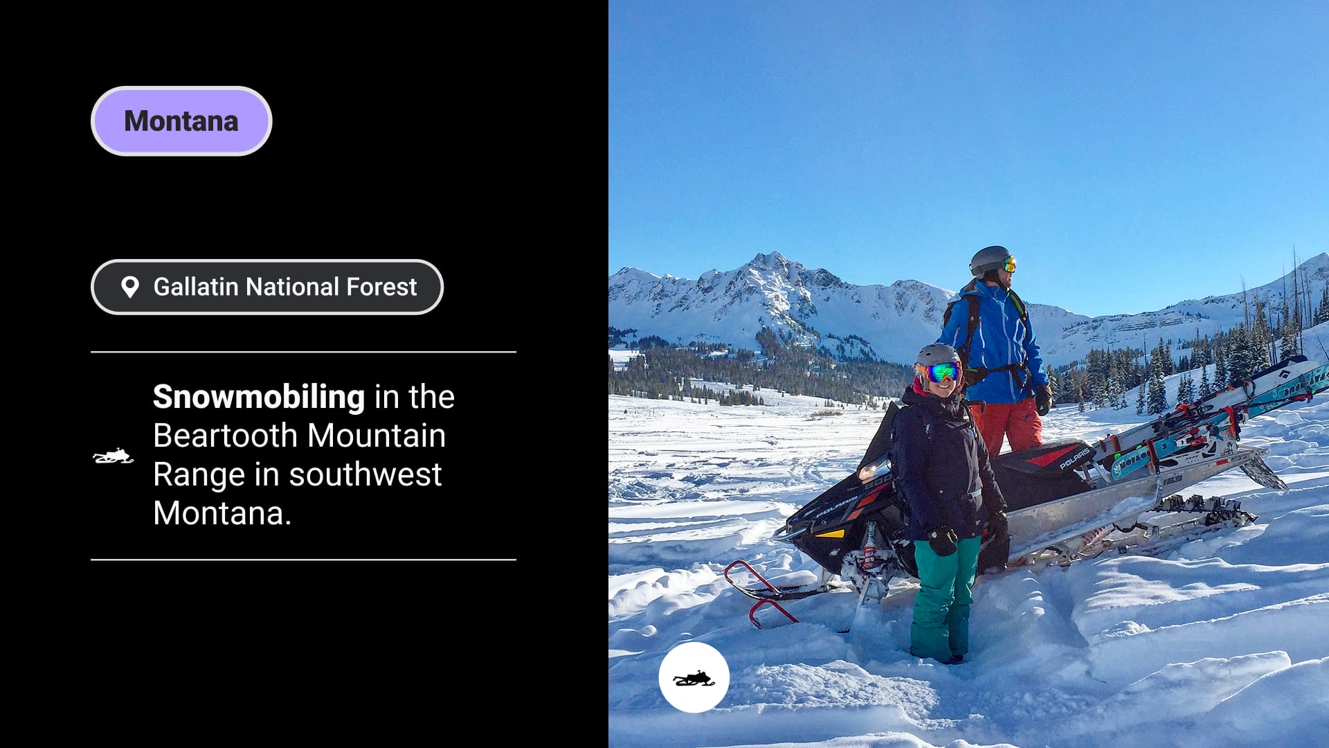
Our analysts compared our dataset of motorized recreation routes to the inventoried roadless areas and found that they contain 7,201 miles of full-size motorized trails and primitive roads, 2,494 miles of ATV and side-by-side trails, 2,167 miles of motorized singletrack trails, and 1,295 miles of snowmobile trails. Altogether, these miles add up to the straight-line distance of driving back and forth across the United States more than four times.
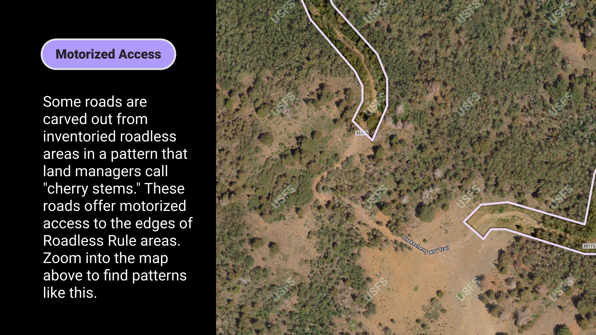
In addition, numerous roads are carved out of the inventoried roadless areas, meaning they provide additional motorized access to the doorstep of roadless areas, and are not included in our tally of motorized route miles. Check out an example of this in the map screenshot below.
Putting the Miles into Perspective
Total route miles open to motorized use in Roadless Rule areas, including Colorado and Idaho areas, equate to driving across the United States nearly five times.
Hiking, Biking, Climbing, and Skiing in Roadless Rule Areas
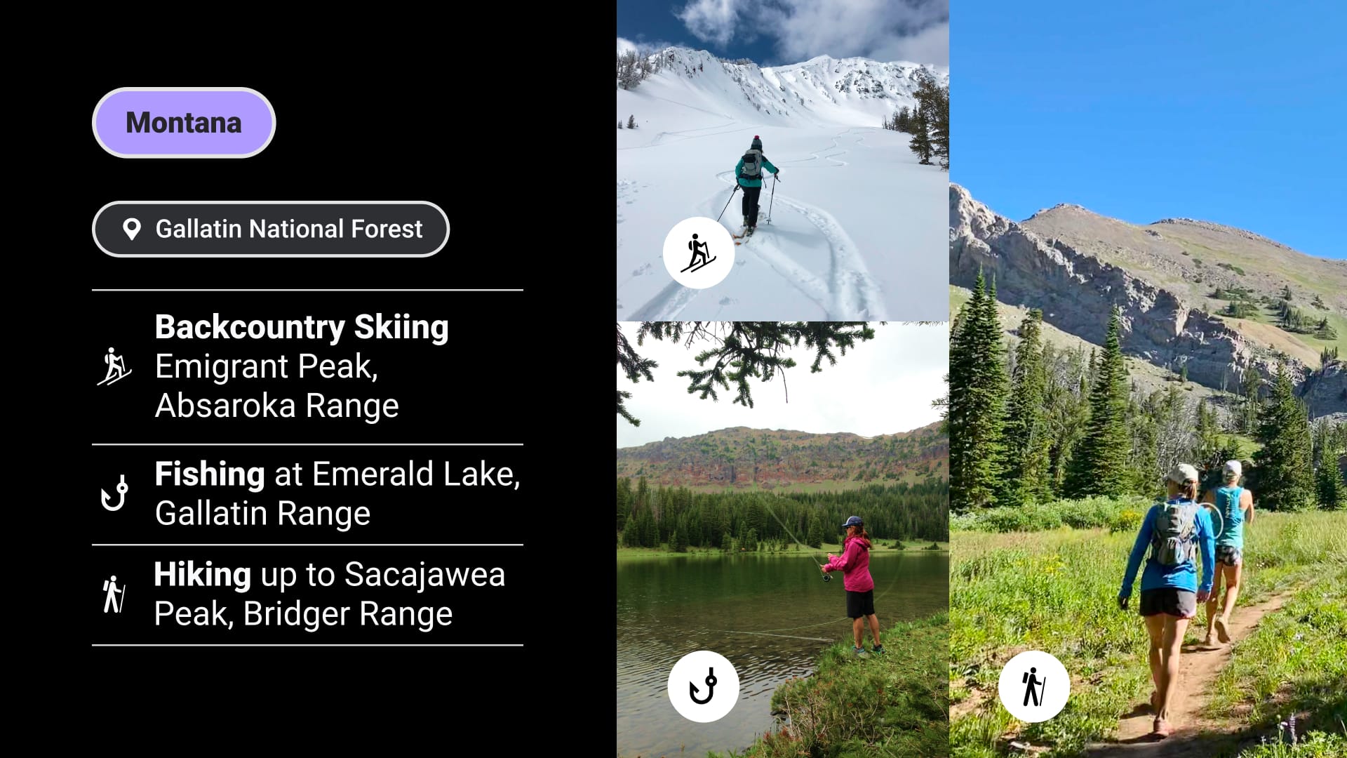
Inventoried roadless areas contain a range of backcountry recreation opportunities across 40 states. The Roadless Rule notes that, “unlike Wilderness, the use of mountain bikes and other mechanized means of travel is often allowed” as determined by individual forest plans—meaning access varies by location and is worth checking the regulations before heading out.
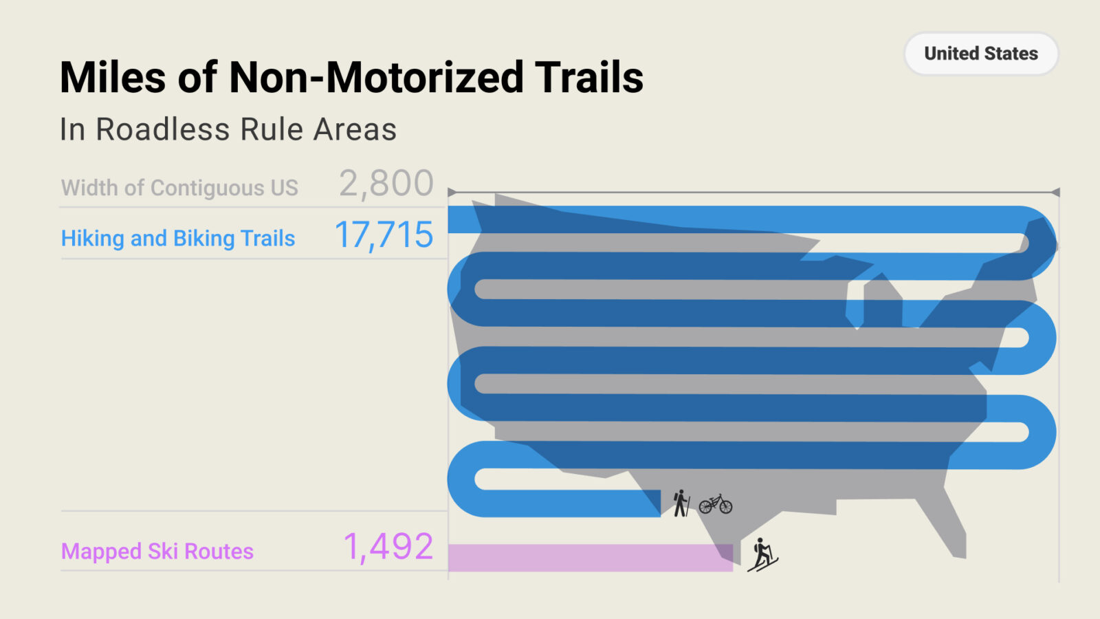
Analysts at onX compared the data on non-motorized routes and climbing areas to inventoried roadless areas across the country and found over 17,700 miles of hiking and biking trails, nearly 1,500 miles of mapped backcountry ski routes, and close to 3,000 climbing areas.
Putting the Miles into Perspective
The total hiking, biking, and mapped ski routes in Roadless Rule areas, including Colorado and Idaho areas, are equal to crossing the United States 6.9 times.

Participate in the Public Process

Because the Roadless Rule was created through an administrative process by the USFS, not passed by Congress as legislation, it can be rescinded or revised in much the same way. Part of that process includes a public opportunity to respond to the Draft Environmental Impact Statement (DEIS).
People who visit and care about National Forests hold a range of views on the Roadless management approach, and the public process is intended to capture the full range of perspectives. The USFS is required to consider all substantive comments submitted while the comment period is open. If you would like to submit a comment, consider including details like:
1. Your knowledge or experience in specific locations—use the map above to copy and paste GPS coordinates into your comment, or reference place names like rivers, mountains, the name of the managing forest, or road and trail numbers.
2. Your personal background—describe your experiences living near, working in, and/or exploring these areas.
3. Relevant data—draw upon your area of expertise, or reference the figures in our map.
4. Specific responses to the agency’s analysis of impacts in the different alternatives in the DEIS.
For more detailed guidance on writing an effective comment, visit onX’s Public Land Comment Hub.
The comment period is only open until October 6, 2026, so be sure to submit your comment on time. The button below will take you to the Rulemaking Docket: 2001 Roadless Rule Rescission on Regulations.gov, where you can read the DEIS (see the “2001 Roadless Rule Rescission_Propose Rule_Draft EIS Volume I” as well as other supporting materials) and go directly to the form to leave your comment.
See Roadless Rule Areas in onX
To help you see how Roadless Rule areas overlap with places you already know and use, we’ve added the boundaries of inventoried roadless areas to onX Hunt (on web browsers and mobile devices) and to onX Offroad and Backcountry (on web browsers only). Turn on the Roadless Rule layer in your onX account to view these boundaries alongside your own waypoints, tracks, and saved locations.
If you don’t have an onX account yet, use the link below to start a free, seven-day trial.

Roadless Rule FAQs
The Roadless Rule is a federal land management policy that limits new road construction, road reconstruction, and certain types of timber harvest in designated inventoried roadless areas within USFS lands. The rule was created to help conserve intact habitat, clean water, and backcountry recreation opportunities while still allowing many existing recreational uses.
Yes, the Roadless Rule allows hunting, fishing, hiking, skiing, climbing, and motorized recreation. The individual forest plans determine the specific regulations in each place. Access and permitted uses vary by location, so it’s important to check current maps, route designations, and local regulations before heading out.
Anyone can use the interactive roadless rule area map on this page (even without an onX membership) to explore inventoried roadless areas across the U.S. The map shows where these areas are located and helps highlight how they overlap with recreation opportunities. If you have an onX Hunt, Offroad, or Backcountry membership, log in to your account on our website, open the Layers menu, and turn on the Roadless Rule layer. In onX Hunt, the layer can be found in the “Land & Access” layer category. This will allow you to see these areas compared to your saved waypoints, tracks, and offline maps.
The National Roadless Rule limits road construction, mineral extraction, and certain timber harvests within inventoried roadless areas—but does not itself regulate public access. Hunting, fishing, hiking, motorized recreation, and other uses are governed by individual forest management plans, which determine what is permitted in each specific location. Access regulations vary by forest, so checking current maps before heading out is the best way to understand what’s allowed in a particular area.

Where to Go From Here
Learn more about our access and stewardship program philosophy, our Adventure Forever Grant program, and stories from the field. Follow us on Instagram to stay up to date on the Roadless Rule DEIS.