High Rollway Scenic Overlanding Trail 1
Total Miles
2.4
Technical Rating
Best Time
Spring, Summer, Fall
Trail Type
Full-Width Road
Accessible By
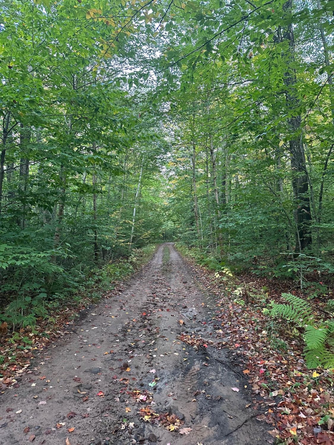
Trail Overview
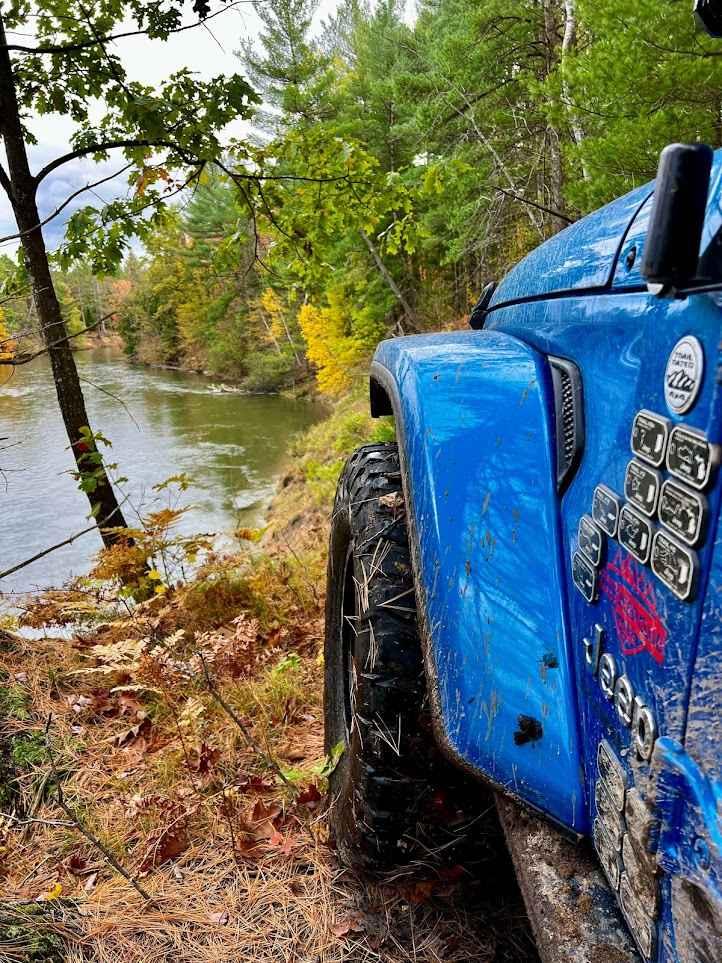
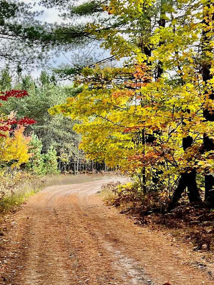
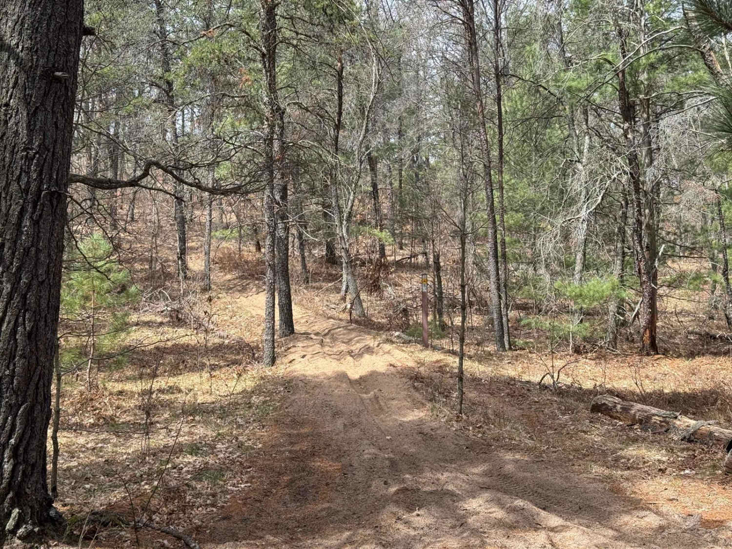
This is an "out and back" trail with some accessible side trails that can be taken. The trail begins where the pavement of West 4 Road meets the dirt at High Rollway Scenic Overlanding Trail 1. The trail begins as an easy two-track, twisting and turning through some picturesque trees. It continues along through dirt, mud, gravel, and loose soft sand. About 1.5 miles into the trail off to the right side is a "playground" area. There are a few hilly areas that can be played on. This seems like it's more for dirt bikes, ATVs, and SXSs, although a high-clearance 4x4 can have fun here too. Continuing down the trail, you'll enter a much more dense forest as you descend down towards the Manistee River. You'll come across a few thick tree roots that will bounce you around a bit, but nothing that a high-clearance 4x4 can't handle. An SUV should be able to handle these roots as well. After the tree roots corner, you'll come across a great riverside bluff campsite. This site can accommodate a small or medium-sized group (roughly 10 vehicles can park and camp here). This campsite unfortunately has a pile of debris (old shingles) within it. This is a great campsite beyond the debris pile. Continuing down the trail you'll come across a shaded campsite. This is another awesome site right on a riverbank bluff. This site can accommodate roughly 10 vehicles. Moving on down the trail, it begins to narrow and gets tight between a large tree and the riverbank bluff. Use caution in this section. One wrong move and you could need some scuba gear. Beyond here, you'll encounter a deep, rutted-out mud/water hole on the left. To the right, there's another mud/water hole that is much shallower than the left side. On the right side, there are 2 paths, a left and a right. The left is the easiest. The right is a little deep. A high-clearance 4x4 should make it through either of these right-side tracks. Just beyond here, the trail dead ends with a scenic view. The area at the dead end is decently overgrown, but with a little bit of cleanup, it could be a decently nice spot to camp for a few vehicles. Any of these campsites along this track should leave you with a secluded spot in a very serene location. Please use caution if you plan to camp in this area. A decent amount of bear scat along this trail has been spotted here; be sure to use common sense when camping in bear country. All in all, this is a gorgeous trail that can be really fun. Make it a weekend campsite spot or use it as an "out and back" trail during a trail ride. This trail surely won't disappoint if you're after good views of the Manistee River on a mainly easy two-track route!
Photos of High Rollway Scenic Overlanding Trail 1
Difficulty
The Technical Rating and Difficulty have been given a 3 due to the rutted dirt sections, as well as the loose sandy areas, mud holes, and trail obstacles up to 12 inches. This trail is typically one vehicle wide with a few different places to pass. It's mostly an easy two-track route with a few places to use caution.
Status Reports
High Rollway Scenic Overlanding Trail 1 can be accessed by the following ride types:
- High-Clearance 4x4
- SUV
- SxS (60")
- ATV (50")
- Dirt Bike
High Rollway Scenic Overlanding Trail 1 Map
Popular Trails
Grand Traverse West

Big O - East Motorcycle Trail
Two Hearted Trail Connector
The onX Offroad Difference
onX Offroad combines trail photos, descriptions, difficulty ratings, width restrictions, seasonality, and more in a user-friendly interface. Available on all devices, with offline access and full compatibility with CarPlay and Android Auto. Discover what you’re missing today!